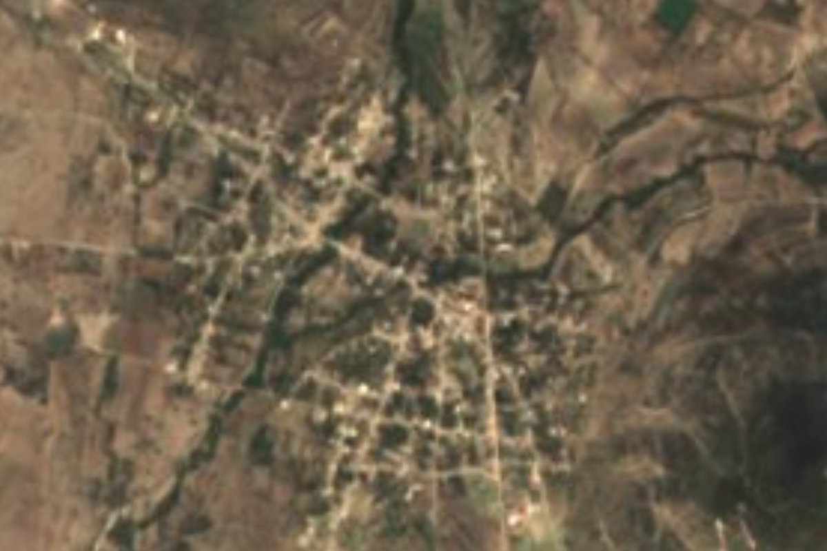
Village Molcaxac, Puebla Municipality of Molcaxac Mixteca Poblana
A Nahua auxiliary town of Molcaxac, "hill of the hummingbird", with huehue carnival, a council of elders, palm braid and an old railway station.
From Puebla: 1 h 10 min by car (66 km by road) How to get there ↓
Near here
See everything nearby ↓


Plan your visit to Santa Cruz Huitziltepec
Where to stay near Santa Cruz Huitziltepec
Compare hotels, posadas and guest houses in Santa Cruz Huitziltepec.
Tours to Santa Cruz Huitziltepec
Day trips and guided outings from Ixtenco often include Santa Cruz Huitziltepec; with a local guide you can get there without a car.
 Tours from Puebla City
Africam Safari Zoo Admission with Transportation
★ 4.8 (87) · From US$35
How to get to Santa Cruz Huitziltepec
- From Puebla: about 1 h 10 min by road (~66 km)
- Nearest airport: Puebla (PBC), 1 h 16 min by car to Ixtenco
Links open a partner site. We may earn a commission if you book, at no cost to you.
Tours from Puebla City, near Santa Cruz Huitziltepec


Tours, prices and ratings from Viator, checked weekly. We may earn a commission if you book.
About Santa Cruz Huitziltepec
In Santa Cruz Huitziltepec carnival is the big celebration: from the Sunday to the Tuesday before Ash Wednesday, the huehues come out to dance through the streets in costume. The community, an auxiliary town of Molcaxac, sees itself as indigenous: some people still speak Nahuatl as a second language, some matters are settled by customary law, and a council of elders was recently set up as a civil association to revive traditions and open markets for local crafts among young people. Its name is explained as "the hill of the hummingbird", from huitzil and tépetl. In 2020 it had 1,747 inhabitants, at 1,858 metres and about 48 km in a straight line from the state capital.
Oral tradition says the village used to stand elsewhere and that floods every rainy season drove the ancestors to move to the present site. The auxiliary council is led by a president and four councillors, chosen by plebiscite on the fourth Sunday of January for a three-year term; they take office on the second Sunday of February. Besides carnival there is a fair on 3 May, Day of the Holy Cross, and another on 14 September for the Señor de las Misericordias, the dead are honoured and the posadas start on 30 November. Near the centre the old railway station still stands; there is a dam on the boundary with San Andrés Mimiahuapan, and on top of Cerro Campaña residents built a chapel.
Maize, beans, sorghum and squash are grown and livestock raised, and artisans braid palm into ribbon and tenate baskets; lately clothing and shoe workshops have opened. Molcaxac, "where the sparrows have their nests", lies in the Mixteca of Puebla: it was subject to Tepeji in colonial times, its church of the Assumption, from the 16th century, became a parish in 1755, and in 1916 the town was burned by Juan Andrew Almazán's troops. In San José de Gracia, another of its towns, there is a tetele mound that may be Preclassic. Food includes mole, pipián, bean tamales, cecina and chileatole, with squash candy, jamoncillo, mezcal and aguardiente, and feasts ring with flute and teponaxtle drum.
How to get to Santa Cruz Huitziltepec
Drive from Puebla: 1 h 10 min, 66 km
From Puebla take the federal road to Cuapiaxtla and, at the La Colorada junction, the Cuapiaxtla–Ixcaquixtla state road south. After Santa Clara Huitziltepec and before Molcaxac, the turn-off to the village leaves at the El Cerrito stop.
Directions to Santa Cruz Huitziltepec on Google Maps
Distances are in a straight line; the road is usually longer.
Links open a partner site. We may earn a commission if you book, at no cost to you.
From the nearest cities to Santa Cruz Huitziltepec
- Puebla · 66 km by road, 1 h 10 min
- Tehuacán · 67 km by road, 1 h 20 min
- Atlixco · 91 km by road, 1 h 25 min
Drive times by road from OpenStreetMap, without traffic or stops. Times marked ~ are estimated from the straight-line distance.
Visiting Santa Cruz Huitziltepec: what to see and do
The huehue carnival, Sunday to Tuesday before Ash Wednesday.
The old railway station near the centre.
The chapel on top of Cerro Campaña.
The dam on the boundary with San Andrés Mimiahuapan.
Palm ribbon and tenate baskets.
Plan your trip
Places to stay in Santa Cruz Huitziltepec
Compare hotels, posadas, and rentals in and around Santa Cruz Huitziltepec.
Tours & activities
Day trips and guided outings from Ixtenco often include Santa Cruz Huitziltepec; with a local guide you can get there without a car.
Rental cars
Pick up a car at PBC (Puebla): about 1 h 16 min by road to Ixtenco, then 58 km more to Santa Cruz Huitziltepec, on your own schedule.
Flights
The nearest airport with scheduled flights is Puebla (PBC), about 1 h 16 min by road from Ixtenco, the base for Santa Cruz Huitziltepec.
Mobile data
Signal can drop away from Ixtenco: download a map of the way to Santa Cruz Huitziltepec before you set out, or carry an eSIM with data.
Links open a partner site. We may earn a commission if you book, at no cost to you.
When to go to Santa Cruz Huitziltepec cool
Santa Cruz Huitziltepec shares the climate of Ixtenco, 58 km away. The best months to visit are February, March, November, and December.
See the month-by-month climate of Ixtenco
Weather in Santa Cruz Huitziltepec now and the next 7 days
Live forecast from Open-Meteo. Chance of rain is the day's highest.
The closest Pueblo Mágico: Ixtenco

Ixtenco is the Pueblo Mágico closest to Santa Cruz Huitziltepec, with places to stay, food, and more to see.
Also close to
- Cholula · Puebla · 58 km away
- Atlixco · Puebla · 61 km away
- Huamantla · Tlaxcala · 65 km away
- Huejotzingo · Puebla · 73 km away
Closest to Santa Cruz Huitziltepec
-
Molcaxac · Village · 4 km away
-
Santa Clara Huitziltepec · Village · 4 km away
-
San Andrés Mimiahuapan · Village · 5 km away
-
Cascada de Los Pescaditos · Waterfall · 8 km away
-
Tepeyahualco de Cuauhtémoc · Village · 9 km away
-
Atoyatempan · Town · 11 km away
-
Xochitlán Todos Santos · Village · 11 km away
-
Tochtepec · Town · 13 km away

Near Santa Cruz Huitziltepec







Drive times by road from OpenStreetMap, without traffic. Times marked ~ are estimated from the straight-line distance.
Location from OpenStreetMap. Written by Puebloteca.