

Village Tepeyahualco de Cuauhtémoc, Puebla
Village "in the ring of hills", seat of one of Puebla's smallest municipalities, with a 16th-century church of Saints Peter and Paul.
From Puebla: 1 h by car (56 km by road) How to get there ↓
Near here
See everything nearby ↓


Plan your visit to Tepeyahualco de Cuauhtémoc
Where to stay near Tepeyahualco de Cuauhtémoc
Compare hotels, posadas and guest houses in Tepeyahualco de Cuauhtémoc.
Tours to Tepeyahualco de Cuauhtémoc
Day trips and guided outings from Ixtenco often include Tepeyahualco de Cuauhtémoc; with a local guide you can get there without a car.
 Tours from Puebla City
Africam Safari Zoo Admission with Transportation
★ 4.8 (87) · From US$35
How to get to Tepeyahualco de Cuauhtémoc
- From Puebla: about 1 h by road (~56 km)
- Nearest airport: Puebla (PBC), 1 h 16 min by car to Ixtenco
Links open a partner site. We may earn a commission if you book, at no cost to you.
Tours from Puebla City, near Tepeyahualco de Cuauhtémoc


Tours, prices and ratings from Viator, checked weekly. We may earn a commission if you book.
About Tepeyahualco de Cuauhtémoc
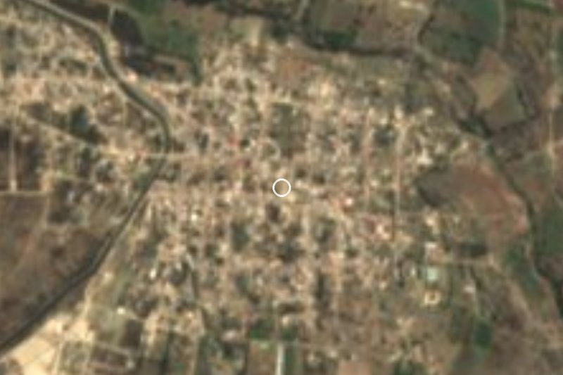
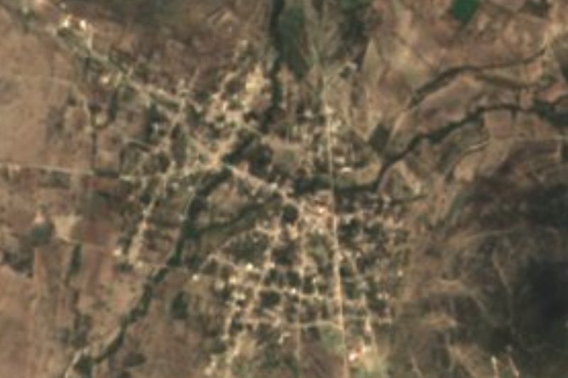
The name is explained by the landscape in the photo: tepetl, hill, yahualtic, round thing or ring, and co, in; that is, "in the round of the hills". Tepeyahualco de Cuauhtémoc sits in a gently sloping valley ringed by tuff hills, at 1,936 metres, and had 2,966 residents in 2020. It is the seat of a tiny municipality of just 15 km², tucked between Tochtepec and Huitziltepec, which wrap around it on every side; it lies in the centre of the state, some 42 km in a straight line from the capital.
It was founded by Nahua groups in pre-Hispanic times. In the 19th century it belonged to the old district of Tecali, and in 1930 it broke away to become a free municipality. Its oldest building is the parish church dedicated to Saints Peter and Paul, built in the 16th century. At festivals, the same source says, women dress as china poblana and men as charros.
This is farming country: seven in ten hectares are planted and the rest is scrub, grassland and houses. The soils are mostly phaeozem, dark and fertile, and water runs in a seasonal stream, the Tlanunatl, part of the Atoyac basin. The climate is mild and fairly dry, averaging 16 to 18 °C with only 600 to 700 mm of rain a year. Some people carve wood for building. In the kitchen there is mole poblano, pipián and tamales of plain masa, beans or sweet filling, preserves of tejocote, apple and peach, and to drink pulque, chocolate and atole.
How to get to Tepeyahualco de Cuauhtémoc
Drive from Puebla: 1 h, 56 km
Tepeyahualco de Cuauhtémoc lies about 42 km in a straight line southeast of Puebla city and 49 km from Ixtenco. Follow the Puebla–Tehuacán federal road to the Tepeaca and Tochtepec area, then local roads south through Tochtepec or Huitziltepec land.
Directions to Tepeyahualco de Cuauhtémoc on Google Maps
Distances are in a straight line; the road is usually longer.
Links open a partner site. We may earn a commission if you book, at no cost to you.
From the nearest cities to Tepeyahualco de Cuauhtémoc
- Puebla · 56 km by road, 1 h
- Atlixco · 81 km by road, 1 h 15 min
- Huamantla · 84 km by road, 1 h 15 min
Drive times by road from OpenStreetMap, without traffic or stops. Times marked ~ are estimated from the straight-line distance.
Visiting Tepeyahualco de Cuauhtémoc: what to see and do
The 16th-century parish church of Saints Peter and Paul.
The view of the ring of hills that gives the village its name.
The valley's cornfields in the rainy season.
The festivals, with china poblana and charro costumes.
Plan your trip
Places to stay in Tepeyahualco de Cuauhtémoc
Compare hotels, posadas, and rentals in and around Tepeyahualco de Cuauhtémoc.
Tours & activities
Day trips and guided outings from Ixtenco often include Tepeyahualco de Cuauhtémoc; with a local guide you can get there without a car.
Rental cars
Pick up a car at PBC (Puebla): about 1 h 16 min by road to Ixtenco, then 49 km more to Tepeyahualco de Cuauhtémoc, on your own schedule.
Flights
The nearest airport with scheduled flights is Puebla (PBC), about 1 h 16 min by road from Ixtenco, the base for Tepeyahualco de Cuauhtémoc.
Mobile data
Signal can drop away from Ixtenco: download a map of the way to Tepeyahualco de Cuauhtémoc before you set out, or carry an eSIM with data.
Links open a partner site. We may earn a commission if you book, at no cost to you.
When to go to Tepeyahualco de Cuauhtémoc cool
Tepeyahualco de Cuauhtémoc shares the climate of Ixtenco, 49 km away. The best months to visit are February, March, November, and December.
See the month-by-month climate of Ixtenco
Weather in Tepeyahualco de Cuauhtémoc now and the next 7 days
Live forecast from Open-Meteo. Chance of rain is the day's highest.
The closest Pueblo Mágico: Ixtenco

Ixtenco is the Pueblo Mágico closest to Tepeyahualco de Cuauhtémoc, with places to stay, food, and more to see.
Also close to
- Cholula · Puebla · 53 km away
- Huamantla · Tlaxcala · 56 km away
- Atlixco · Puebla · 59 km away
- Huejotzingo · Puebla · 68 km away
Closest to Tepeyahualco de Cuauhtémoc
-
Atoyatempan · Town · 4 km away
-
Santa Clara Huitziltepec · Village · 5 km away
-
Ahuatepec · Village · 6 km away
-
Tochtepec · Town · 6 km away
-
Molcaxac · Village · 9 km away
-
Santa Cruz Huitziltepec · Village · 9 km away
-
Santo Tomás Hueyotlipan · Village · 9 km away
-
San Martín Caltenco · Village · 10 km away

Near Tepeyahualco de Cuauhtémoc


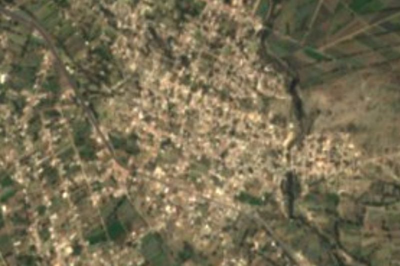




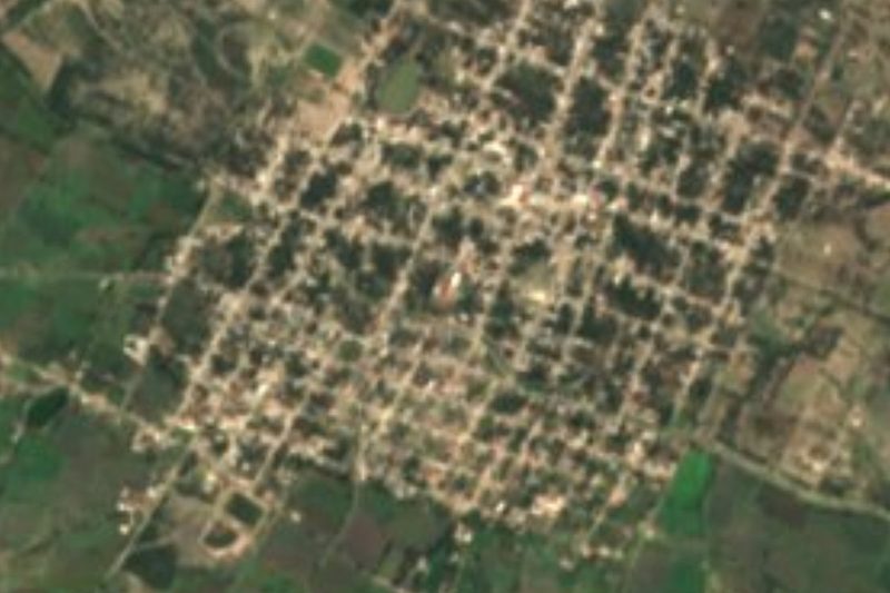
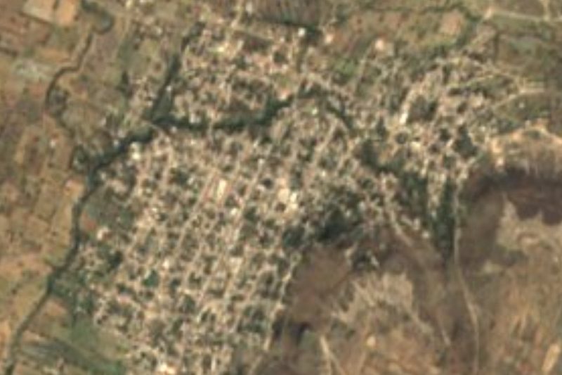

Drive times by road from OpenStreetMap, without traffic. Times marked ~ are estimated from the straight-line distance.
Location from OpenStreetMap. Written by Puebloteca.