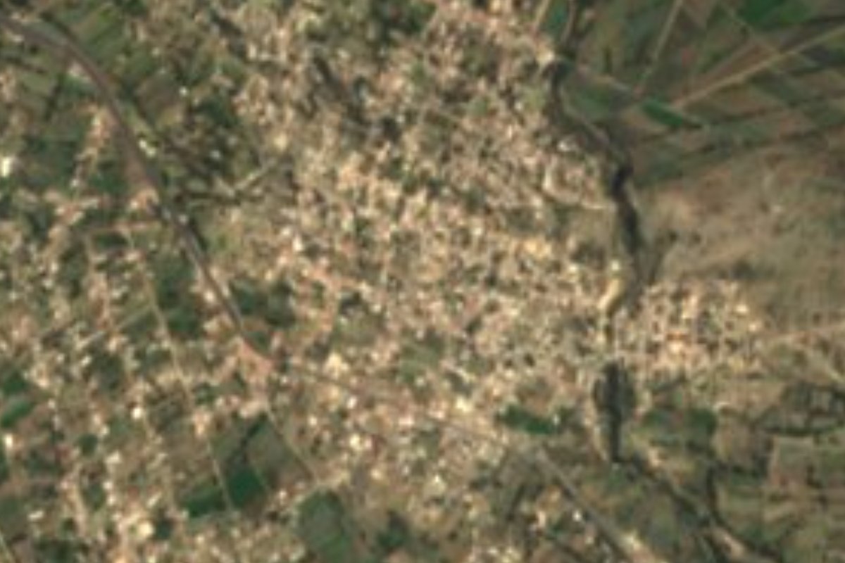
Village Tepeaca, Puebla Municipality of Tepeaca Puebla Valley
Large village of Tepeaca, "at the wall of flowers", in the farming valley that had one of Puebla's first Franciscan convents.
From Puebla: 40 min by car (44 km by road) How to get there ↓
Near here
See everything nearby ↓

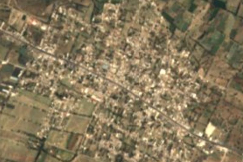
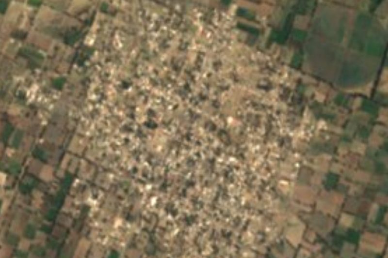
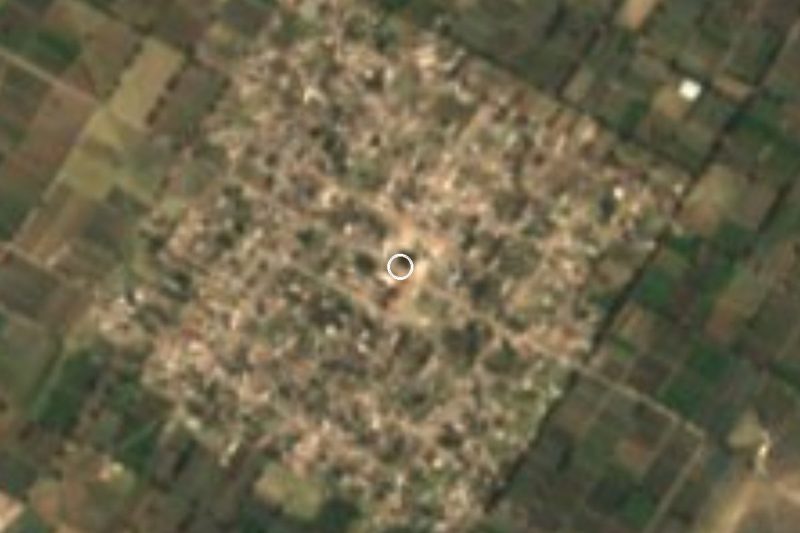

Plan your visit to San Hipólito Xochiltenango
Where to stay near San Hipólito Xochiltenango
Compare hotels, posadas and guest houses in San Hipólito Xochiltenango.
Tours to San Hipólito Xochiltenango
Day trips and guided outings from Ixtenco often include San Hipólito Xochiltenango; with a local guide you can get there without a car.
 Tours from Puebla City
Africam Safari Zoo Admission with Transportation
★ 4.8 (87) · From US$35
How to get to San Hipólito Xochiltenango
- From Puebla: about 40 min by road (~44 km)
- Nearest airport: Puebla (PBC), 1 h 16 min by car to Ixtenco
Links open a partner site. We may earn a commission if you book, at no cost to you.
Tours from Puebla City, near San Hipólito Xochiltenango


Tours, prices and ratings from Viator, checked weekly. We may earn a commission if you book.
About San Hipólito Xochiltenango
Xochiltenango translates as "at the wall of flowers", from xochitl, flower, tenamitl, wall, and co, at; its patron is Saint Hippolytus. It is one of the larger places in the municipality of Tepeaca, with 10,624 people in 2020, at about 2,140 m and some 36 km in a straight line from Puebla city.
Tepeaca was a leading town in colonial times: Hernán Cortés founded the town of Segura de la Frontera here on 4 September 1520, and its seat keeps the 16th-century Franciscan convent and church, the Rollo, a tower also from the 16th century, the so-called house of Hernán Cortés and the house of the Viceroys. Every Friday, Tepeaca's market draws traders from Puebla, Tlaxcala, Hidalgo and Morelos, with many wholesale buyers.
The municipality is farmland: almost 60% is cultivated and the rest is split between built-up land, grassland, some woodland and scrub. The climate is temperate and sub-humid, averaging 12 to 18 °C with 600 to 900 mm of rain, and its streams drain to the Atoyac through the Balcón del Diablo sub-basin. In Tepeaca people forge iron into staircases, doors, machetes and decorated benches; they eat carnitas, cueritos, pork crackling and cecina, and for All Saints they make figures of glazed pumpkin-seed candy. Patron-saint festivals are played by brass bands.
How to get to San Hipólito Xochiltenango
Drive from Puebla: 40 min, 44 km
San Hipólito Xochiltenango lies in the municipality of Tepeaca, about 36 km in a straight line from Puebla city. Take the Puebla–Orizaba highway or the federal road to Tehuacán as far as Tepeaca, then local roads; buses run from the CAPU to Tepeaca.
Directions to San Hipólito Xochiltenango on Google Maps
Distances are in a straight line; the road is usually longer.
Links open a partner site. We may earn a commission if you book, at no cost to you.
From the nearest cities to San Hipólito Xochiltenango
- Puebla · 44 km by road, 40 min
- Huamantla · 66 km by road, 55 min
- Chiautempan · 69 km by road, 1 h 5 min
Drive times by road from OpenStreetMap, without traffic or stops. Times marked ~ are estimated from the straight-line distance.
Visiting San Hipólito Xochiltenango: what to see and do
The Franciscan convent and the Rollo of Tepeaca.
Tepeaca's Friday market.
The festivals of San Hipólito.
Plan your trip
Places to stay in San Hipólito Xochiltenango
Compare hotels, posadas, and rentals in and around San Hipólito Xochiltenango.
Tours & activities
Day trips and guided outings from Ixtenco often include San Hipólito Xochiltenango; with a local guide you can get there without a car.
Rental cars
Pick up a car at PBC (Puebla): about 1 h 16 min by road to Ixtenco, then 35 km more to San Hipólito Xochiltenango, on your own schedule.
Flights
The nearest airport with scheduled flights is Puebla (PBC), about 1 h 16 min by road from Ixtenco, the base for San Hipólito Xochiltenango.
Mobile data
Signal can drop away from Ixtenco: download a map of the way to San Hipólito Xochiltenango before you set out, or carry an eSIM with data.
Links open a partner site. We may earn a commission if you book, at no cost to you.
When to go to San Hipólito Xochiltenango cool
San Hipólito Xochiltenango shares the climate of Ixtenco, 35 km away. The best months to visit are February, March, November, and December.
See the month-by-month climate of Ixtenco
Weather in San Hipólito Xochiltenango now and the next 7 days
Live forecast from Open-Meteo. Chance of rain is the day's highest.
The closest Pueblo Mágico: Ixtenco

Ixtenco is the Pueblo Mágico closest to San Hipólito Xochiltenango, with places to stay, food, and more to see.
Also close to
- Huamantla · Tlaxcala · 42 km away
- Cholula · Puebla · 48 km away
- Atlixco · Puebla · 58 km away
- Huejotzingo · Puebla · 61 km away
- Tlaxco · Tlaxcala · 79 km away
Closest to San Hipólito Xochiltenango
-
Tepeaca · Town · 4 km away
-
Miguel Negrete · Village · 5 km away
-
Cuapiaxtla de Madero · Town · 6 km away
-
Santo Tomás Hueyotlipan · Village · 6 km away
-
Benito Juárez · Village · 8 km away
-
San Martín Caltenco · Village · 9 km away
-
Santiago Acatlán · Village · 9 km away
-
Acatzingo de Hidalgo · Town · 10 km away
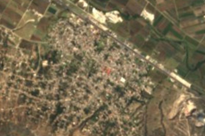

Near San Hipólito Xochiltenango






Drive times by road from OpenStreetMap, without traffic. Times marked ~ are estimated from the straight-line distance.
Location from OpenStreetMap. Written by Puebloteca.