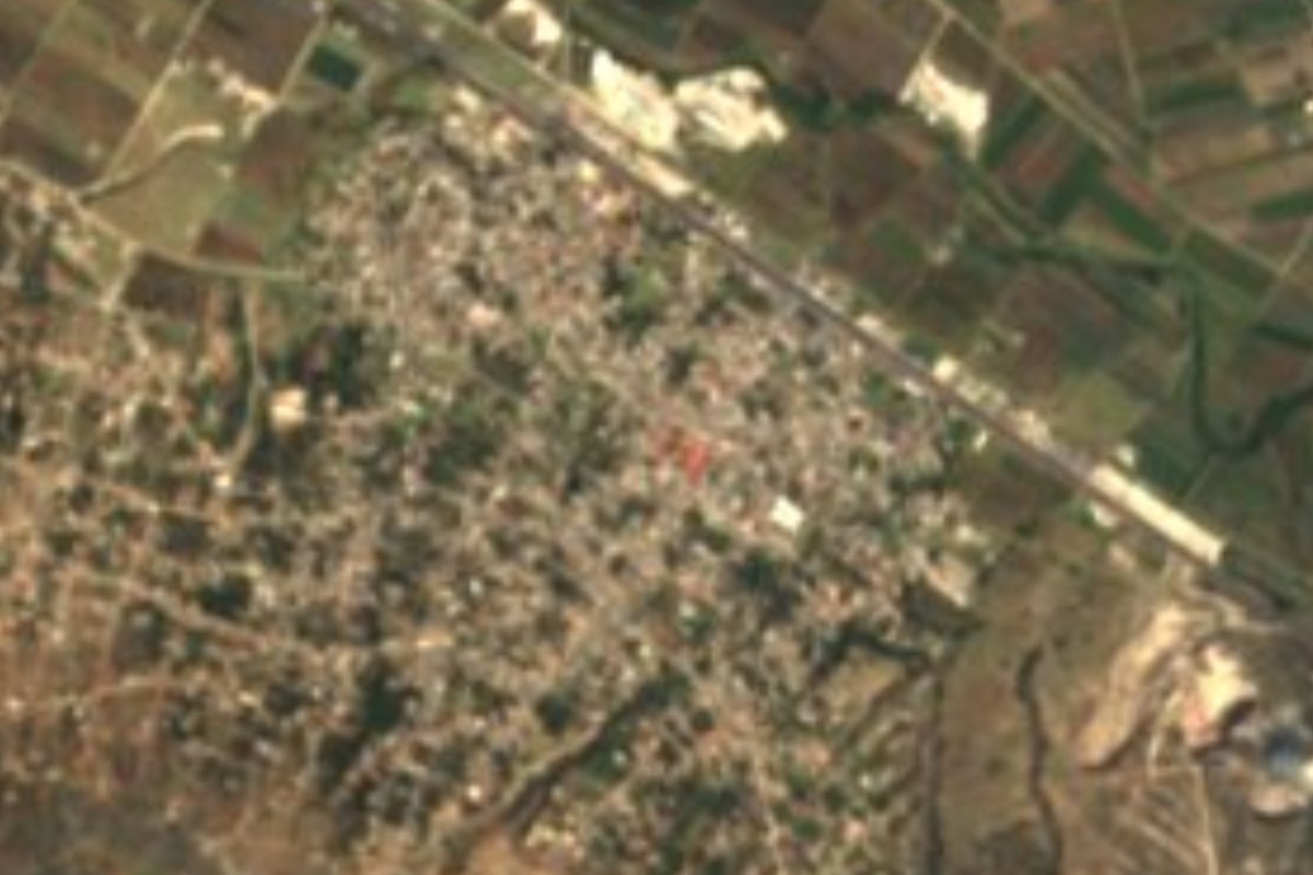
Village Tepeaca, Puebla Municipality of Tepeaca Puebla Valley
"Place of reeds" beside Tepeaca: a village of over nine thousand among maize fields, in a municipality known for its wrought iron.
From Puebla: 35 min by car (31 km by road) How to get there ↓
Near here
See everything nearby ↓


Plan your visit to Santiago Acatlán
Where to stay near Santiago Acatlán
Compare hotels, posadas and guest houses in Santiago Acatlán.
Tours to Santiago Acatlán
Day trips and guided outings from Ixtenco often include Santiago Acatlán; with a local guide you can get there without a car.
How to get to Santiago Acatlán
- From Puebla: about 35 min by road (~31 km)
- Nearest airport: Puebla (PBC), 1 h 16 min by car to Ixtenco
Links open a partner site. We may earn a commission if you book, at no cost to you.
About Santiago Acatlán
Acatlán comes from the Nahuatl acatl, reed, and tlan, place: the spot where reeds grew. The name of Saint James the Greater was set before the indigenous one, and he is still the village's patron. Today it is one of the largest communities in the municipality of Tepeaca, with 9,201 people counted in 2020, sitting at 2,287 metres above the valley, about 29 km in a straight line from Puebla city and a few kilometres from the municipal seat, whose convent and market are its everyday point of reference.
The land around it is farmland: nearly six in ten hectares of the municipality are cultivated, while built-up areas take about 14% and the rest is split between pasture, some woodland and scrub. Average temperatures range from 12 to 18 °C, and 600 to 900 mm of rain falls each year, nearly all of it in summer. Water drains toward the Atoyac, within the great Balsas basin. Tepeaca borders Acajete and Nopalucan to the north, Acatzingo, Los Reyes de Juárez and Cuapiaxtla de Madero to the east, Santo Tomás Hueyotlipan and Mixtla to the south, and Tecali de Herrera and Cuautinchán to the west.
The nearby seat holds the area's heritage: the 16th-century Franciscan convent complex, the Rollo raised in the same period, the parish of the Niño Doctor, and the houses known as Hernán Cortés's and the Viceroys'. The trade that sets the municipality apart is ironwork: smiths forge staircases, doors, windows, machetes and park benches decorated with iron figures. In the kitchen, carnitas, cueritos, chicharrón, cecina, barbacoa and mole poblano lead the way; for dessert there are buñuelos, pumpkin and fig sweets and seed jamoncillo, and for All Saints' figures are moulded from glazed pumpkin-seed candy. People drink pulque, chocolate and masa atole, and brass bands and orchestras play at the patron-saint festivities.
How to get to Santiago Acatlán
Drive from Puebla: 35 min, 31 km
The gateway is Tepeaca, about 29 km in a straight line from Puebla. Ruta Puebla buses leave the CAPU for Tepeaca roughly every 5 minutes, taking about 35 minutes; in Tepeaca, take local transport or a taxi for the last few kilometres. By car, use the Puebla–Orizaba highway and turn off for Tepeaca.
Directions to Santiago Acatlán on Google Maps
Distances are in a straight line; the road is usually longer.
Links open a partner site. We may earn a commission if you book, at no cost to you.
From the nearest cities to Santiago Acatlán
- Puebla · 31 km by road, 35 min
- Huamantla · 56 km by road, 45 min
- Chiautempan · 59 km by road, 1 h
Drive times by road from OpenStreetMap, without traffic or stops. Times marked ~ are estimated from the straight-line distance.
Visiting Santiago Acatlán: what to see and do
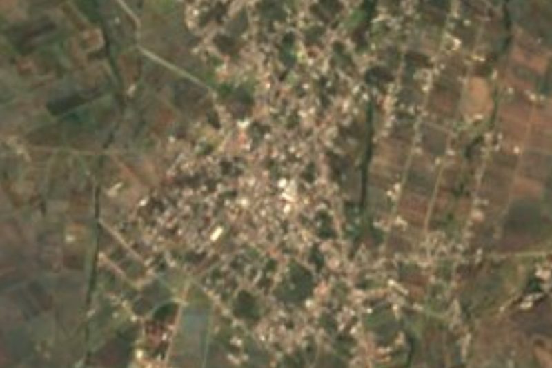
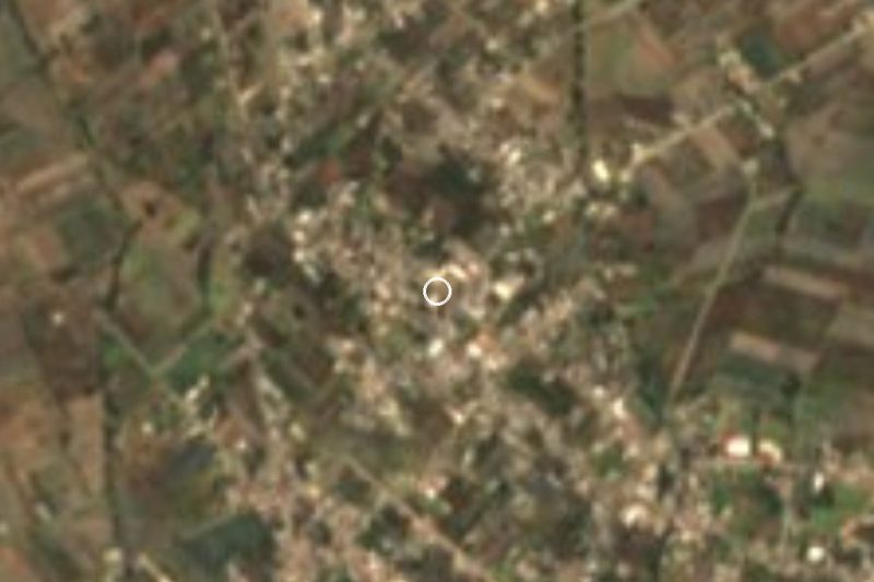
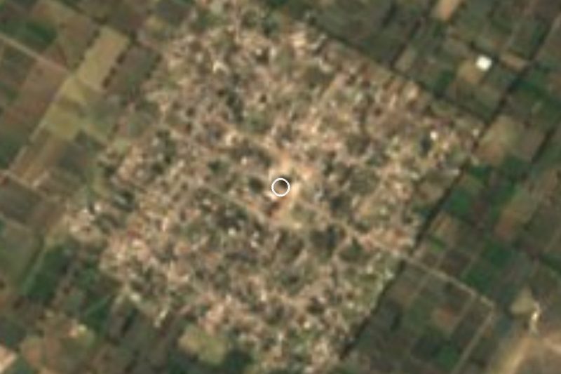
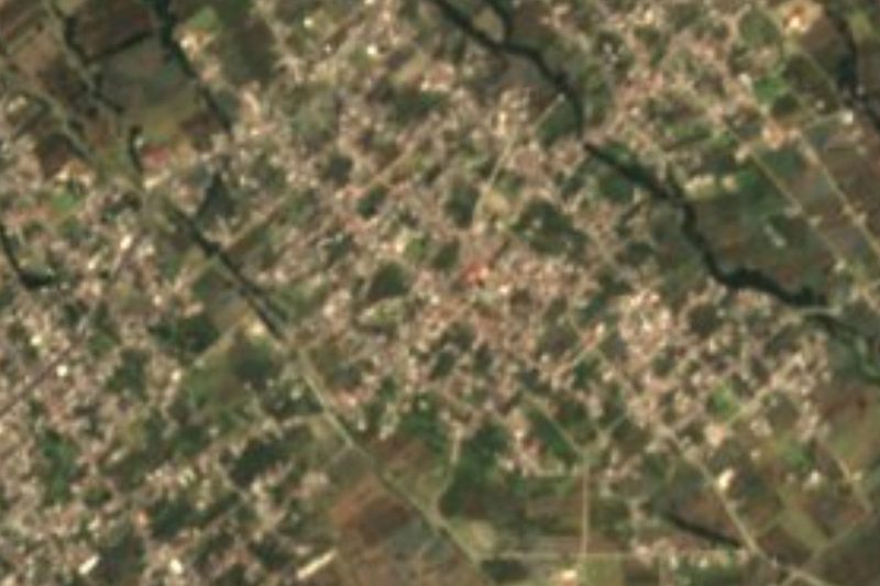
The streets and church of Santiago Acatlán, whose patron is Saint James the Greater.
In Tepeaca: the 16th-century Franciscan convent, the Rollo and the parish of the Niño Doctor.
The municipality's ironwork shops and its food: carnitas, cecina and barbacoa.
Plan your trip
Places to stay in Santiago Acatlán
Compare hotels, posadas, and rentals in and around Santiago Acatlán.
Tours & activities
Day trips and guided outings from Ixtenco often include Santiago Acatlán; with a local guide you can get there without a car.
Rental cars
Pick up a car at PBC (Puebla): about 1 h 16 min by road to Ixtenco, then 28 km more to Santiago Acatlán, on your own schedule.
Flights
The nearest airport with scheduled flights is Puebla (PBC), about 1 h 16 min by road from Ixtenco, the base for Santiago Acatlán.
Mobile data
Signal can drop away from Ixtenco: download a map of the way to Santiago Acatlán before you set out, or carry an eSIM with data.
Links open a partner site. We may earn a commission if you book, at no cost to you.
When to go to Santiago Acatlán cool
Santiago Acatlán shares the climate of Ixtenco, 28 km away. The best months to visit are February, March, November, and December.
See the month-by-month climate of Ixtenco
Weather in Santiago Acatlán now and the next 7 days
Live forecast from Open-Meteo. Chance of rain is the day's highest.
The closest Pueblo Mágico: Ixtenco

Ixtenco is the Pueblo Mágico closest to Santiago Acatlán, with places to stay, food, and more to see.
Also close to
- Huamantla · Tlaxcala · 35 km away
- Cholula · Puebla · 40 km away
- Atlixco · Puebla · 53 km away
- Huejotzingo · Puebla · 53 km away
- Tlaxco · Tlaxcala · 72 km away
Closest to Santiago Acatlán
-
Tepeaca · Town · 4 km away
-
La Magdalena Tetela Morelos · Town · 6 km away
-
San Jerónimo Ocotitlán · Village · 6 km away
-
Apango de Zaragoza · Village · 8 km away
-
Benito Juárez · Village · 8 km away
-
Santa María Nenetzintla · Village · 8 km away
-
San Hipólito Xochiltenango · Village · 9 km away
-
Cuautinchán · Village · 10 km away
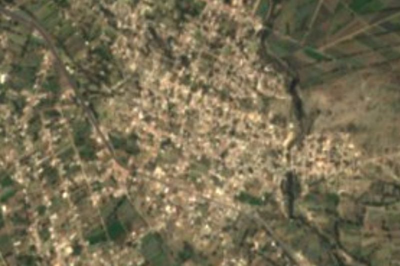

Near Santiago Acatlán







Drive times by road from OpenStreetMap, without traffic. Times marked ~ are estimated from the straight-line distance.
Location from OpenStreetMap. Written by Puebloteca.