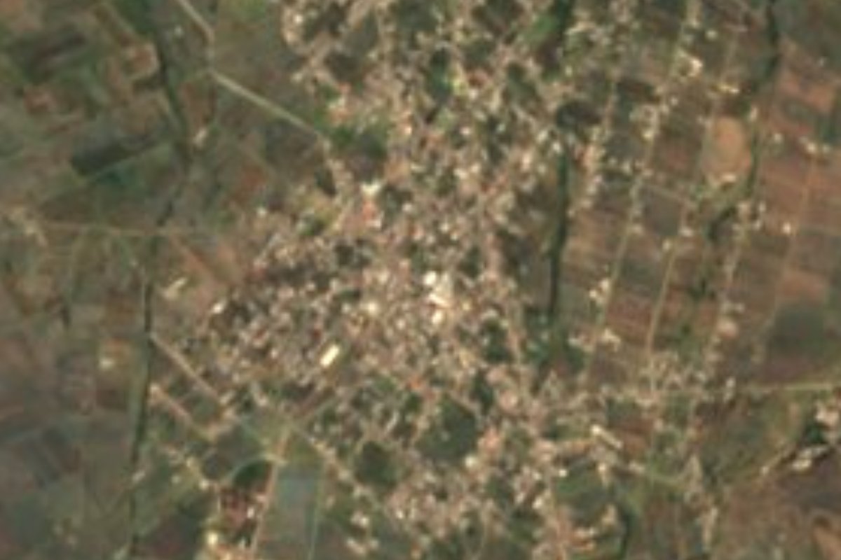
Town Acajete, Puebla Municipality of Acajete Puebla Valley
Acajete sub-municipality at 2,309 m between the slopes of La Malinche and the Tepeaca valley; 7,613 people, patron Mary Magdalene.
From Puebla: 35 min by car (30 km by road) How to get there ↓
Near here




Plan your visit to La Magdalena Tetela Morelos
Where to stay near La Magdalena Tetela Morelos
Compare hotels, posadas and guest houses in La Magdalena Tetela Morelos.
Tours to La Magdalena Tetela Morelos
Day trips around Ixtenco sometimes stop in La Magdalena Tetela Morelos; a tour is the easy way to see it without a car.
How to get to La Magdalena Tetela Morelos
- From Puebla: about 35 min by road (~30 km)
- Nearest airport: Puebla (PBC), 1 h 16 min by car to Ixtenco
Links open a partner site. We may earn a commission if you book, at no cost to you.
About La Magdalena Tetela Morelos
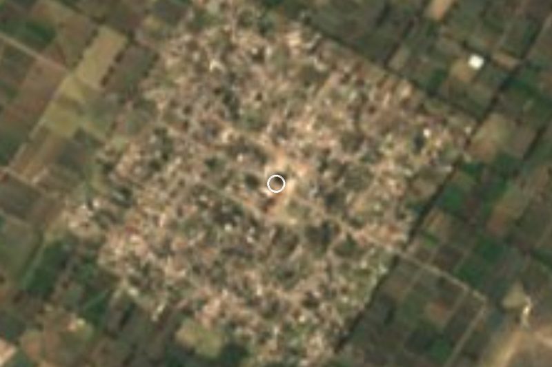
La Magdalena Tetela Morelos packs three things into its name: its patron, Mary Magdalene; a Nahuatl word, Tetela, meaning a stony place or 'place of many stones'; and the surname of José María Morelos, hero of the War of Independence. It is one of the juntas auxiliares (sub-municipal districts) of Acajete, in the centre of the state, about 5 km south of the municipal seat at 2,309 m.
With 7,613 people in 2020 it is the municipality's third-largest community, and its census history has an odd spike. Between 1900 and 1980 it grew from 822 to 5,710 residents; in 1990 the census recorded 10,188, because neighbouring Apango was counted as part of Tetela that year. When Apango, now Apango de Zaragoza, reappeared as a separate locality in 2000, Tetela dropped back to 7,777.
The municipality spans three kinds of land: the lower slopes of La Malinche, the 4,461 m extinct volcano that fills the northern skyline; the Tepeaca valley with its limestone soils; and the small Sierra de Amozoc. The climate is temperate with summer rains, and farming is Tetela's main livelihood.
The seat, Acajete, has the parish church of Santa María de la Asunción, dated 1650, and an old, disused railway station. Its big fiestas fall in August: on the 6th for Nuestro Padre Jesús and on the 15th for 'La Patronita', with processions, horse races, voladores and huehues dancers in the churchyard.
How to get to La Magdalena Tetela Morelos
Drive from Puebla: 35 min, 30 km
From Puebla city, take Boulevard Xonacatepec to the 150D toll road (Puebla–Orizaba) heading east; after about 8 km take the Acajete exit, follow federal highway 150 (Puebla–Tehuacán) for some 7 km and enter the village along Avenida Reforma: about 33 km and 35 minutes. From Acajete it is about 7 km south (around 10 minutes). From the Pueblo Mágico of Ixtenco in Tlaxcala, take highway 136 toward Huamantla and then federal highway 129 (Teziutlán–Acajete) south to Acajete: about 27 km and 30 minutes.
Directions to La Magdalena Tetela Morelos on Google Maps
Distances are in a straight line; the road is usually longer.
Links open a partner site. We may earn a commission if you book, at no cost to you.
From the nearest cities to La Magdalena Tetela Morelos
- Puebla · 30 km by road, 35 min
- Huamantla · 35 km by road, 35 min
- Chiautempan · 58 km by road, 1 h
Drive times by road from OpenStreetMap, without traffic or stops. Times marked ~ are estimated from the straight-line distance.
Map of La Magdalena Tetela Morelos
Neighbourhoods and villages of La Magdalena Tetela Morelos
Part of La Magdalena Tetela Morelos or just outside it, closest first.
-
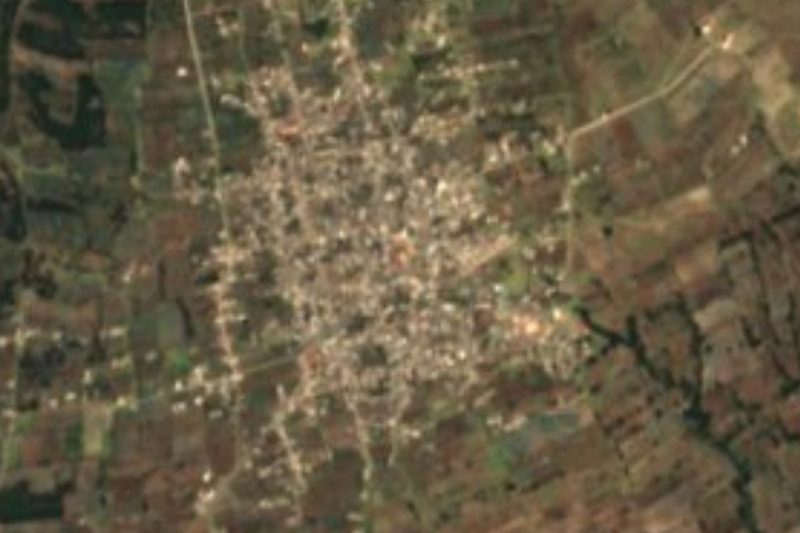
Apango de Zaragoza · Village · 2 km from the centre
Acajete village at 2,337 m, right next to La Magdalena Tetela Morelos; merged into it in 1990 and restored in 2000 under its current name. -
San Jerónimo Ocotitlán · Village · 3 km from the centre
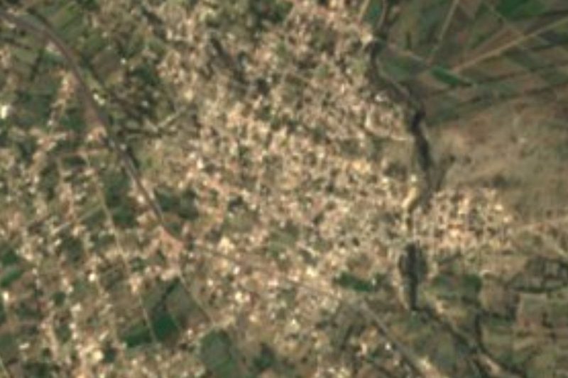
An auxiliary borough of Acajete on the Puebla-Tehuacán highway, a potters' village founded in the 13th century by a ravine; 'place among lynxes'. -
Santa María Nenetzintla · Village · 3 km from the centre
Village in the municipality of Acajete, in the Tepeaca valley below La Malinche; its name means "place of many idols". -
Tepatlaxco de Hidalgo · Village · 4 km from the centre
Stony town on the slopes of La Malinche, refounded around 1550 under Saint Sebastian, that fought for centuries for its forest and its municipality.
Day trips and tours from La Magdalena Tetela Morelos
The closest Pueblos Mágicos and places to visit, with the drive from La Magdalena Tetela Morelos and tours that leave from it.


Times marked ~ are estimated from the distance. Links open a partner site. We may earn a commission if you book, at no cost to you.
Before you go: getting to and around La Magdalena Tetela Morelos
- The nearest airport is Puebla (PBC).
- The best months to go are February, March, November, and December.
- 1 of the places on this page is more than 3 km from the centre: take a taxi, a ride-hailing app or a local bus.
- For day trips a rental car gives the most freedom; the tours above leave from La Magdalena Tetela Morelos.
Visiting La Magdalena Tetela Morelos: what to see and do
La Malinche volcano on the northern horizon.
The parish church of Santa María de la Asunción (1650) in Acajete.
Acajete's old railway station.
The August fiestas in the seat: Nuestro Padre Jesús (6th) and La Patronita (15th).
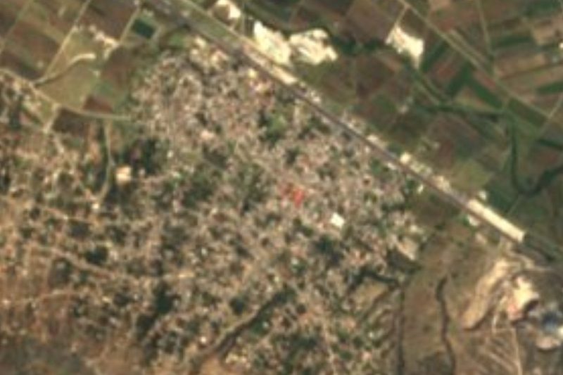
Neighbouring Apango de Zaragoza, counted as part of Tetela in 1990.
Plan your trip
Places to stay in La Magdalena Tetela Morelos
Compare hotels, posadas, and rentals in and around La Magdalena Tetela Morelos.
Tours & activities
Day trips around Ixtenco sometimes stop in La Magdalena Tetela Morelos; a tour is the easy way to see it without a car.
Rental cars
Pick up a car at PBC (Puebla): about 1 h 16 min by road to Ixtenco, then 22 km more to La Magdalena Tetela Morelos, on your own schedule.
Flights
The nearest airport with scheduled flights is Puebla (PBC), about 1 h 16 min by road from Ixtenco, the base for La Magdalena Tetela Morelos.
Mobile data
Signal can drop away from Ixtenco: download a map of the way to La Magdalena Tetela Morelos before you set out, or carry an eSIM with data.
Links open a partner site. We may earn a commission if you book, at no cost to you.
When to go to La Magdalena Tetela Morelos cool
La Magdalena Tetela Morelos shares the climate of Ixtenco, 22 km away. The best months to visit are February, March, November, and December.
See the month-by-month climate of Ixtenco
Weather in La Magdalena Tetela Morelos now and the next 7 days
Live forecast from Open-Meteo. Chance of rain is the day's highest.
The closest Pueblo Mágico: Ixtenco

Ixtenco is the Pueblo Mágico closest to La Magdalena Tetela Morelos, with places to stay, food, and more to see.
Also close to
- Huamantla · Tlaxcala · 29 km away
- Cholula · Puebla · 39 km away
- Huejotzingo · Puebla · 50 km away
- Atlixco · Puebla · 53 km away
- Tlaxco · Tlaxcala · 66 km away
Near La Magdalena Tetela Morelos




Drive times by road from OpenStreetMap, without traffic. Times marked ~ are estimated from the straight-line distance.
Location from OpenStreetMap. Written by Puebloteca.