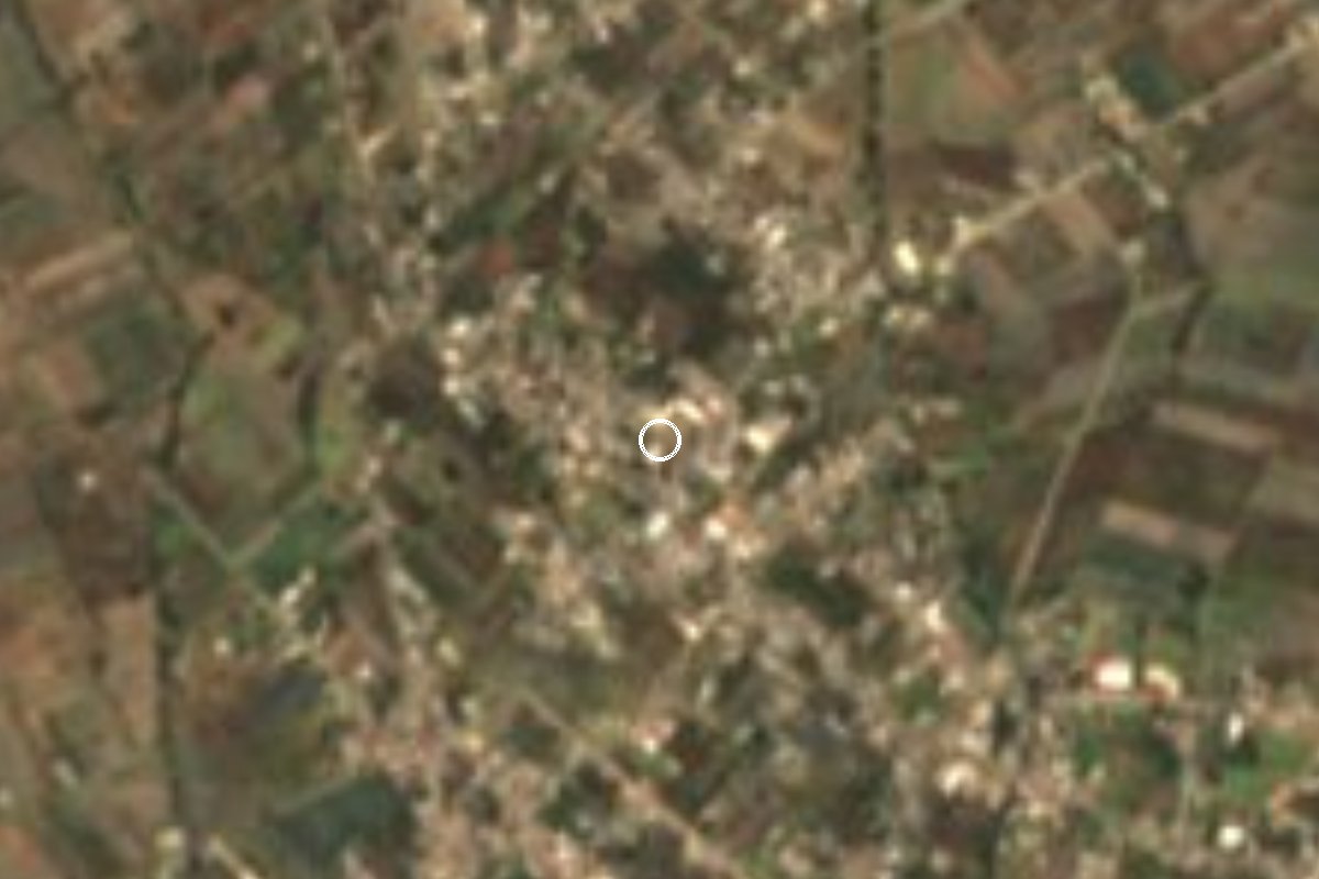
Village Acajete, Puebla Municipality of Acajete Puebla Valley La Malinche
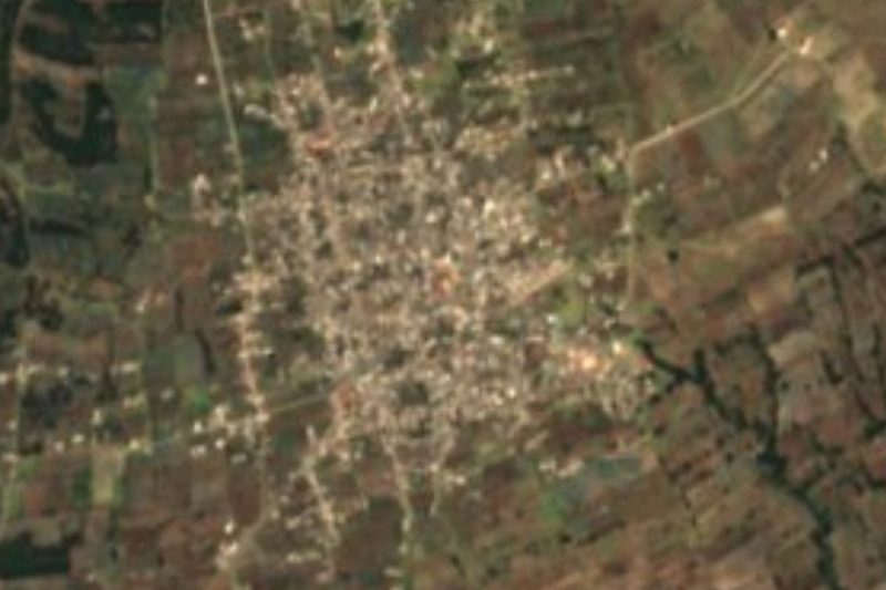
Acajete village at 2,337 m, right next to La Magdalena Tetela Morelos; merged into it in 1990 and restored in 2000 under its current name.
From Huamantla: 35 min by car (33 km by road) How to get there ↓
Near here
See everything nearby ↓



Plan your visit to Apango de Zaragoza
Where to stay near Apango de Zaragoza
Compare hotels, posadas and guest houses in Apango de Zaragoza.
Tours to Apango de Zaragoza
Day trips and guided outings from Ixtenco often include Apango de Zaragoza; with a local guide you can get there without a car.
 Tours from Puebla City
Africam Safari Zoo Admission with Transportation
★ 4.8 (87) · From US$35
How to get to Apango de Zaragoza
- From Huamantla: about 35 min by road (~33 km)
- Nearest airport: Puebla (PBC), 1 h 16 min by car to Ixtenco
Links open a partner site. We may earn a commission if you book, at no cost to you.
Tours from Puebla City, near Apango de Zaragoza


Tours, prices and ratings from Viator, checked weekly. We may earn a commission if you book.
About Apango de Zaragoza
For ten years Apango vanished from the official records. It was a minor settlement of Acajete municipality, so close to La Magdalena Tetela Morelos that in 1990 it was folded into that village and stopped being counted on its own. It was restored as a separate locality in 2000, now carrying the name Zaragoza as well.
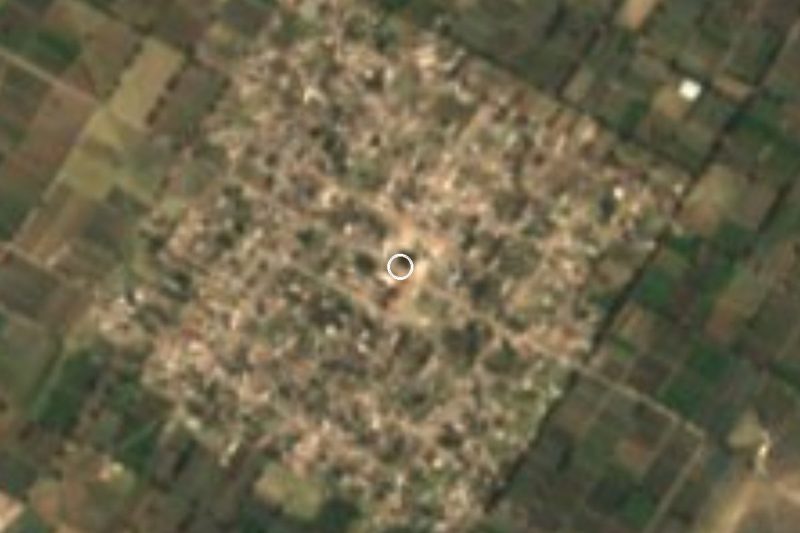
The village sits in the south-central part of the municipality, directly north of Tetela, whose Nahuatl name refers to stony ground and whose patron is Mary Magdalene. It stands at 2,337 m in a municipality that belongs to the Tepeaca valley, east of Puebla city. It has been growing: the 2010 census counted 2,500 people (1,232 men and 1,268 women) and the 2020 census 3,032, in 627 occupied homes, enough for INEGI to class it as urban.
The village made national news on 9 September 2019, when soldiers guarding a warehouse of goods seized from highway and railway thefts clashed with local residents.
How to get to Apango de Zaragoza
Drive from Huamantla: 35 min, 33 km
From Puebla city it is about 35 km and 40 minutes: leave via Avenida 14 Oriente and Boulevard Xonacatepec onto toll road 150D towards Orizaba, take federal highway 129 (Amozoc-Acajete) and enter the village on local streets. You can also come in from San Jerónimo Ocotitlán, on highways 150 and 150D, along the road through La Magdalena Tetela Morelos to Apango. From Ixtenco in Tlaxcala, the nearest pueblo mágico, it is about 25 km and 25 minutes via federal highway 136 towards Huamantla and then highway 129 (Teziutlán-Acajete). We found no documented public transport routes to the village.
Directions to Apango de Zaragoza on Google Maps
Distances are in a straight line; the road is usually longer.
Links open a partner site. We may earn a commission if you book, at no cost to you.
From the nearest cities to Apango de Zaragoza
- Huamantla · 33 km by road, 35 min
- Puebla · 35 km by road, 35 min
- Chiautempan · 59 km by road, 1 h
Drive times by road from OpenStreetMap, without traffic or stops. Times marked ~ are estimated from the straight-line distance.
Visiting Apango de Zaragoza: what to see and do
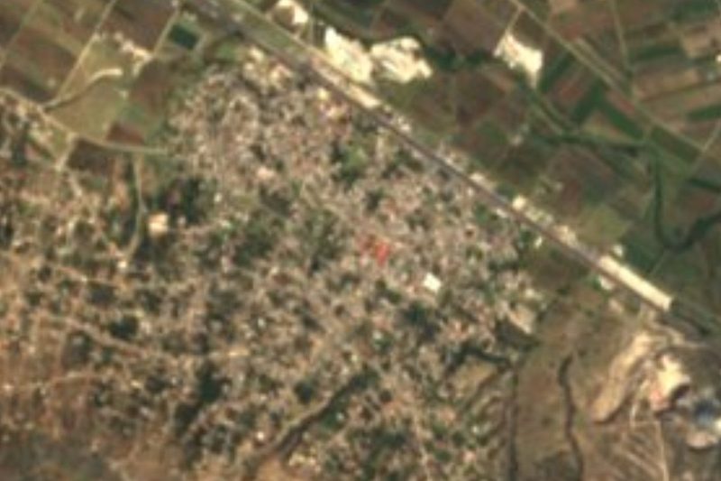
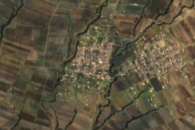
Neighbouring La Magdalena Tetela Morelos, which Apango was part of between 1990 and 2000.
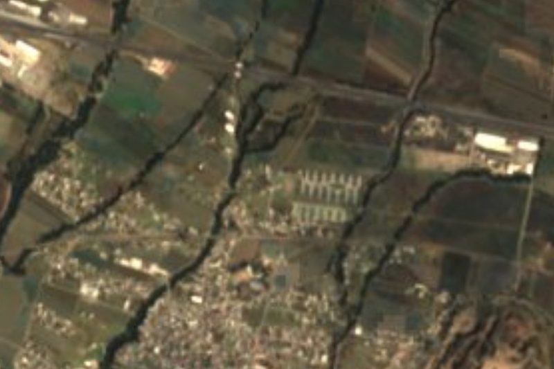
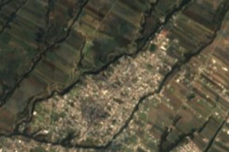
The farmland of the Tepeaca valley at 2,300 m.
Plan your trip
Places to stay in Apango de Zaragoza
Compare hotels, posadas, and rentals in and around Apango de Zaragoza.
Tours & activities
Day trips and guided outings from Ixtenco often include Apango de Zaragoza; with a local guide you can get there without a car.
Rental cars
Pick up a car at PBC (Puebla): about 1 h 16 min by road to Ixtenco, then 20 km more to Apango de Zaragoza, on your own schedule.
Flights
The nearest airport with scheduled flights is Puebla (PBC), about 1 h 16 min by road from Ixtenco, the base for Apango de Zaragoza.
Mobile data
Signal can drop away from Ixtenco: download a map of the way to Apango de Zaragoza before you set out, or carry an eSIM with data.
Links open a partner site. We may earn a commission if you book, at no cost to you.
When to go to Apango de Zaragoza cool
Apango de Zaragoza shares the climate of Ixtenco, 20 km away. The best months to visit are February, March, November, and December.
See the month-by-month climate of Ixtenco
Weather in Apango de Zaragoza now and the next 7 days
Live forecast from Open-Meteo. Chance of rain is the day's highest.
The closest Pueblo Mágico: Ixtenco

Ixtenco is the Pueblo Mágico closest to Apango de Zaragoza, with places to stay, food, and more to see.
Also close to
- Huamantla · Tlaxcala · 27 km away
- Cholula · Puebla · 39 km away
- Huejotzingo · Puebla · 50 km away
- Atlixco · Puebla · 54 km away
- Tlaxco · Tlaxcala · 64 km away
Closest to Apango de Zaragoza
-
La Magdalena Tetela Morelos · Town · 2 km away
-
Santa María Nenetzintla · Village · 3 km away
-
Tepatlaxco de Hidalgo · Village · 3 km away
-
Acajete · Town · 4 km away
-
San Jerónimo Ocotitlán · Village · 5 km away
-
Santa Isabel Tepetzala · Village · 5 km away
-
San Agustín Tlaxco · Village · 6 km away
-
San Juan Tepulco · Village · 7 km away

Near Apango de Zaragoza




Drive times by road from OpenStreetMap, without traffic. Times marked ~ are estimated from the straight-line distance.
Location from OpenStreetMap. Written by Puebloteca.