Town Ziltlaltépec de Trinidad Sánchez Santos, Tlaxcala La Malinche
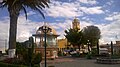
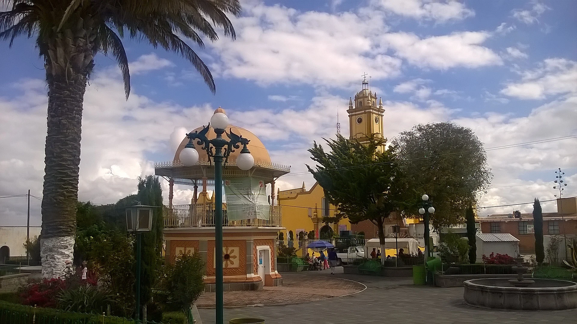
Seat on the slopes of La Malinche beside Puebla, with the San Pablo parish, the San Pedro and San Pablo fair and embroidery.
From Huamantla: 15 min by car (14 km by road) How to get there ↓
Near here
See everything nearby ↓



Plan your visit to Zitlaltépec
Where to stay near Zitlaltépec
Compare hotels, posadas and guest houses in Zitlaltépec.
Tours to Zitlaltépec
Day trips around Ixtenco sometimes stop in Zitlaltépec; a tour is the easy way to see it without a car.
 Tours from Puebla City
Africam Safari Zoo Admission with Transportation
★ 4.8 (87) · From US$35
How to get to Zitlaltépec
- From Huamantla: about 15 min by road (~14 km)
- Nearest airport: Puebla (PBC), 1 h 16 min by car to Ixtenco
Links open a partner site. We may earn a commission if you book, at no cost to you.
Tours from Puebla City, near Zitlaltépec


Tours, prices and ratings from Viator, checked weekly. We may earn a commission if you book.
About Zitlaltépec
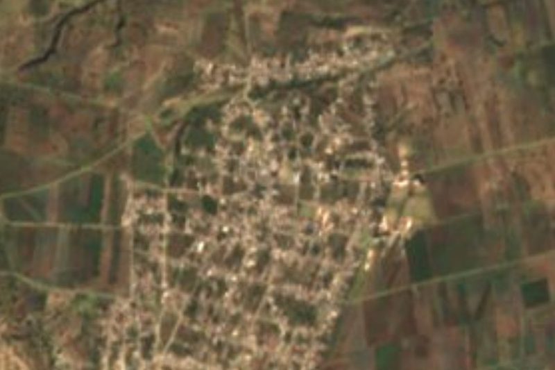
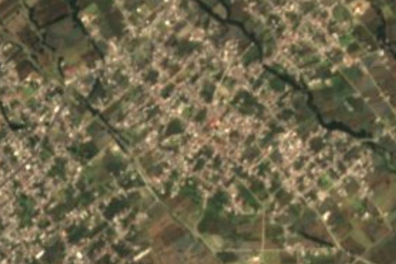
Zitlaltepec is the seat of the municipality of Ziltlaltépec de Trinidad Sánchez Santos, in southeastern Tlaxcala, on the slopes of La Malinche volcano at about 2,560 metres. Almost the whole municipal territory borders Puebla; Ixtenco lies to the north and Huamantla to the west. At the 2020 census the locality had 6,926 inhabitants, out of 9,207 for the whole municipality, which has nine localities.
According to the municipal history, the town was part of the lordship of Ocoteculco and Tecoac, under Olmec-Xicalanca influence, and by about 1570 it was already an independent visita of Huamantla. In 1984 the municipality received its present name, in memory of José Trinidad Sánchez Santos. In the centre stands the parish of San Pablo, from the 19th century, with a Latin-cross plan, a vaulted roof, one-metre stone walls and a yellow-and-white facade, and a single three-level tower with a clock and battlements. The San Diego chapel dates from the 18th and 19th centuries and keeps its atrium wall and portal. The municipality still has the San Diego Pinar and San Juan Bautista haciendas.
The patron-saint festivities are those of San Pedro and San Pablo on 29 June, and the fair runs from late June into early July; in 2026 it was announced for 26 June to 7 July. At carnival, cuadrillas of huehues dance with a wind band, in cotton shirt and trousers, straw hat and huaraches. Embroidery and woven rugs are the local crafts, and the kitchen is known for turkey mole, lamb barbacoa in mixiote, anise tamales and natural pulque. The forest on La Malinche allows camping and climbing.
How to get to Zitlaltépec
Drive from Huamantla: 15 min, 14 km
Zitlaltepec is about 55 km from Tlaxcala city, on the Huamantla y el Oriente tourist route. From Huamantla it is 29 km and about 19 minutes by car, and from Ixtenco, the neighbouring town, about 9 km (roughly 10 minutes). From Mexico City take the highway to Puebla, the Arco Norte towards the Tlaxcala road and the ramp to Apizaco, then follow the signs to Huamantla (about 2 hours 30 minutes according to Chilango); from Huamantla continue to Ixtenco and Zitlaltepec. From Puebla it is about 35 km and 40 minutes. Buses reach Huamantla; the last stretch is by taxi or local transport, with no published schedules.
Directions to Zitlaltépec on Google Maps
Distances are in a straight line; the road is usually longer.
Links open a partner site. We may earn a commission if you book, at no cost to you.
From the nearest cities to Zitlaltépec
- Huamantla · 14 km by road, 15 min
- Puebla · 43 km by road, 40 min
- Chiautempan · 54 km by road, 50 min
Drive times by road from OpenStreetMap, without traffic or stops. Times marked ~ are estimated from the straight-line distance.
Before you go to Zitlaltépec: hours, prices and tips
- Best season
- San Pedro and San Pablo on 29 June, with a fair from late June to early July (in 2026, 26 June to 7 July); huehues carnival. H. Ayuntamiento de Zitlaltepec / CulturaTLX · checked Oct 2026
Hours and prices change, especially around holidays. Each fact links to where we checked it.
Visiting Zitlaltépec: what to see and do
Parish of San Pablo, 19th century, with its clock tower and battlements
San Diego chapel, 18th and 19th centuries
San Diego Pinar and San Juan Bautista haciendas
San Pedro and San Pablo fair, late June to early July
The forest on La Malinche, for camping and climbing
Plan your trip
Places to stay in Zitlaltépec
Compare hotels, posadas, and rentals in and around Zitlaltépec.
Tours & activities
Day trips around Ixtenco sometimes stop in Zitlaltépec; a tour is the easy way to see it without a car.
Rental cars
Pick up a car at PBC (Puebla): about 1 h 16 min by road to Ixtenco, then 6 km more to Zitlaltépec, on your own schedule.
Flights
The nearest airport with scheduled flights is Puebla (PBC), about 1 h 16 min by road from Ixtenco, the base for Zitlaltépec.
Mobile data
Signal can drop away from Ixtenco: download a map of the way to Zitlaltépec before you set out, or carry an eSIM with data.
Links open a partner site. We may earn a commission if you book, at no cost to you.
When to go to Zitlaltépec cool
Zitlaltépec shares the climate of Ixtenco, 6 km away. The best months to visit are February, March, November, and December.
See the month-by-month climate of Ixtenco
Weather in Zitlaltépec now and the next 7 days
Live forecast from Open-Meteo. Chance of rain is the day's highest.
The closest Pueblo Mágico: Ixtenco

Ixtenco is the Pueblo Mágico closest to Zitlaltépec, with places to stay, food, and more to see.
Also close to
- Huamantla · Tlaxcala · 12 km away
- Cholula · Puebla · 45 km away
- Tlaxco · Tlaxcala · 51 km away
- Huejotzingo · Puebla · 53 km away
- Atlixco · Puebla · 64 km away
Closest to Zitlaltépec
-
Cerro Xalapasco · Mountain · 6 km away
-
Cerro El Pinal · Mountain · 7 km away
-
Hacienda Soltepec · Landmark · 9 km away
-
Santa María Ixtiyucan · Village · 10 km away
-
Ciudad de Rafael Lara Grajales · Town · 11 km away
-
Santa Isabel Tepetzala · Village · 11 km away
-
Acajete · Town · 12 km away
-
San Juan Tepulco · Village · 13 km away

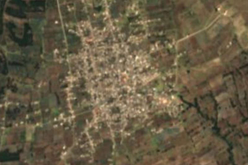
Near Zitlaltépec



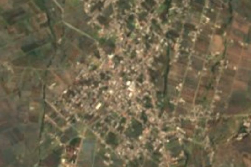



Drive times by road from OpenStreetMap, without traffic. Times marked ~ are estimated from the straight-line distance.
Location from OpenStreetMap. Written by Puebloteca.