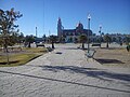

Town Rafael Lara Grajales, Puebla La Malinche
Town that grew around the San Marcos station of the Mexican Railway on the Llanos de San Juan, named after a local revolutionary general.
From Huamantla: 25 min by car (25 km by road) How to get there ↓
Near here
See everything nearby ↓
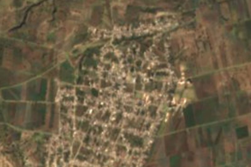


Plan your visit to Ciudad de Rafael Lara Grajales
Where to stay near Ciudad de Rafael Lara Grajales
Compare hotels, posadas and guest houses in Ciudad de Rafael Lara Grajales.
Tours to Ciudad de Rafael Lara Grajales
Day trips around Ixtenco sometimes stop in Ciudad de Rafael Lara Grajales; a tour is the easy way to see it without a car.
 Tours from Puebla City
Africam Safari Zoo Admission with Transportation
★ 4.8 (87) · From US$35
How to get to Ciudad de Rafael Lara Grajales
- From Huamantla: about 25 min by road (~25 km)
- Nearest airport: Puebla (PBC), 1 h 16 min by car to Ixtenco
Links open a partner site. We may earn a commission if you book, at no cost to you.
Tours from Puebla City, near Ciudad de Rafael Lara Grajales


Tours, prices and ratings from Viator, checked weekly. We may earn a commission if you book.
About Ciudad de Rafael Lara Grajales
A railway town on the plains north-east of Puebla, Ciudad de Rafael Lara Grajales counted 10,960 residents in 2020 and sits at roughly 2,380 m, some 46 km from the state capital as the crow flies. The municipality, just 4.10 km², is split into two separate pieces divided by San José Chiapa and Nopalucan, which it borders, and had 14,052 people in 2010.
Clay vessels and figurines found in the fields suggest Nahua settlements; in the 15th century the Triple Alliance conquered the area, then known as Xalistlahuacan, "flat and sandy place", probably a stopping point for Aztec merchants heading east. The present town was born at the end of the 19th century with the Mexican Railway from Mexico City to Veracruz, which built a station here called San Marcos after the nearby hacienda of that name; later another line ran from Puebla to Xalapa, and during the Revolution the branch lines moved troops and supplies. San Marcos was formally founded on 24 March 1922, later renamed Villa Central, and on 11 September 1936 the municipality was created and named after General Rafael Lara Grajales, a congressman born in the region and murdered in 1933.
Expect cool, fairly dry weather: averages hover between 14 and 16 °C, and the yearly rainfall is only 500 to 700 mm. The land drains toward Lake Totolcingo, within the Atoyac basin.
How to get to Ciudad de Rafael Lara Grajales
Drive from Huamantla: 25 min, 25 km
Federal highway 129 links the town with Puebla city, roughly 50 minutes' drive, and continues to Libres and Teziutlán; it also meets the Mexico City–Veracruz toll road. Across the Tlaxcala line, Ixtenco is about 14 km away.
Directions to Ciudad de Rafael Lara Grajales on Google Maps
Distances are in a straight line; the road is usually longer.
Links open a partner site. We may earn a commission if you book, at no cost to you.
From the nearest cities to Ciudad de Rafael Lara Grajales
- Huamantla · 25 km by road, 25 min
- Puebla · 54 km by road, 50 min
- Chiautempan · 65 km by road, 55 min
Drive times by road from OpenStreetMap, without traffic or stops. Times marked ~ are estimated from the straight-line distance.
Visiting Ciudad de Rafael Lara Grajales: what to see and do
The zócalo in the centre.
The San Marcos station the town grew up around.
The open plains of the Llanos de San Juan.
Ixtenco, a Tlaxcala Pueblo Mágico some 14 km off.
Plan your trip
Places to stay in Ciudad de Rafael Lara Grajales
Compare hotels, posadas, and rentals in and around Ciudad de Rafael Lara Grajales.
Tours & activities
Day trips around Ixtenco sometimes stop in Ciudad de Rafael Lara Grajales; a tour is the easy way to see it without a car.
Rental cars
Pick up a car at PBC (Puebla): about 1 h 16 min by road to Ixtenco, then 14 km more to Ciudad de Rafael Lara Grajales, on your own schedule.
Flights
The nearest airport with scheduled flights is Puebla (PBC), about 1 h 16 min by road from Ixtenco, the base for Ciudad de Rafael Lara Grajales.
Mobile data
Signal can drop away from Ixtenco: download a map of the way to Ciudad de Rafael Lara Grajales before you set out, or carry an eSIM with data.
Links open a partner site. We may earn a commission if you book, at no cost to you.
When to go to Ciudad de Rafael Lara Grajales cool
Ciudad de Rafael Lara Grajales shares the climate of Ixtenco, 14 km away. The best months to visit are February, March, November, and December.
See the month-by-month climate of Ixtenco
Weather in Ciudad de Rafael Lara Grajales now and the next 7 days
Live forecast from Open-Meteo. Chance of rain is the day's highest.
The closest Pueblo Mágico: Ixtenco

Ixtenco is the Pueblo Mágico closest to Ciudad de Rafael Lara Grajales, with places to stay, food, and more to see.
Also close to
- Huamantla · Tlaxcala · 16 km away
- Tlaxco · Tlaxcala · 54 km away
- Cholula · Puebla · 56 km away
- Huejotzingo · Puebla · 64 km away
- Tetela de Ocampo · Puebla · 65 km away
Closest to Ciudad de Rafael Lara Grajales
-
San José Chiapa · Town · 4 km away
-
Santa María Ixtiyucan · Village · 4 km away
-
Cuapiaxtla · Town · 8 km away
-
Zitlaltépec · Town · 11 km away
-
Cerro Xalapasco · Mountain · 13 km away
-
Hacienda Soltepec · Landmark · 14 km away
-
San José Xicohténcatl · Town · 14 km away
-
Cerro El Pinal · Mountain · 15 km away
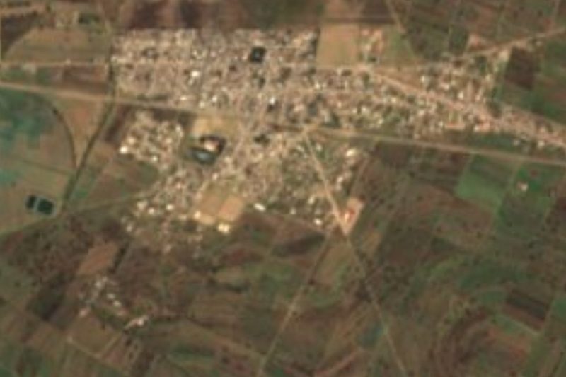

Near Ciudad de Rafael Lara Grajales

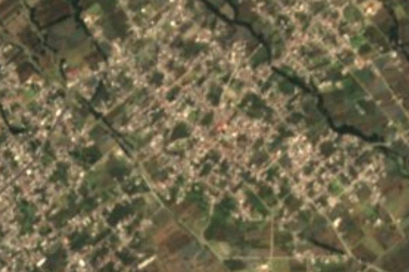
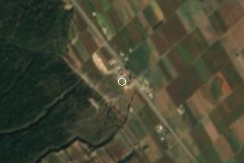


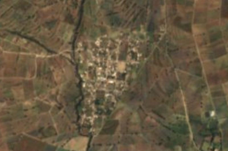
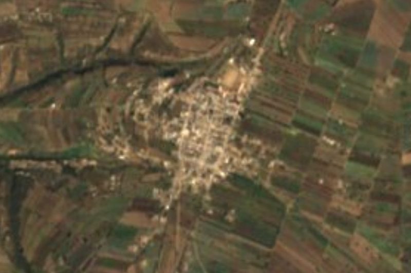

Drive times by road from OpenStreetMap, without traffic. Times marked ~ are estimated from the straight-line distance.
Location from OpenStreetMap. Written by Puebloteca.