

Village Mazapiltepec de Juárez, Puebla Puebla Valley
Village on the plains of east-central Puebla, "on the hill of the fawn", with a church of Saint Margaret of Antioch.
From Huamantla: 35 min by car (39 km by road) How to get there ↓
Near here
See everything nearby ↓
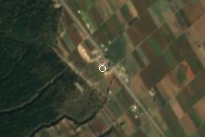

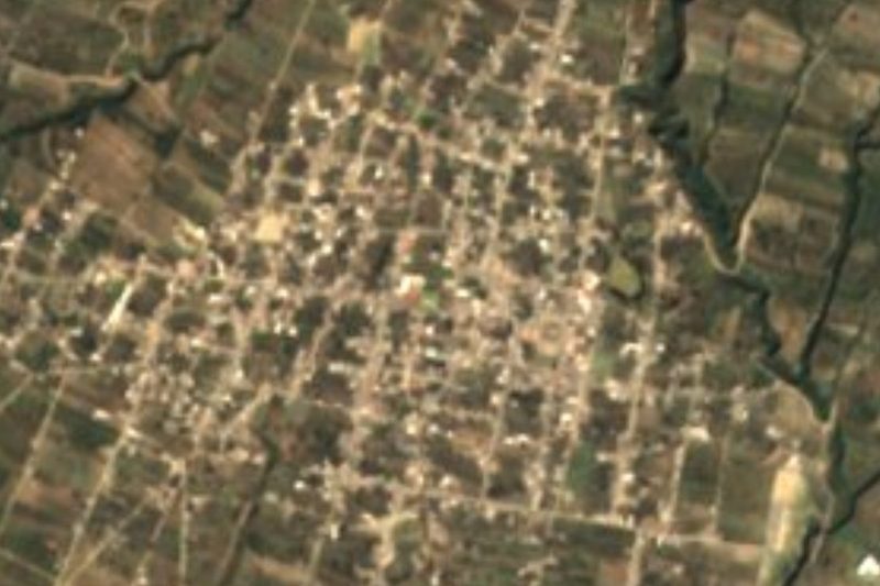
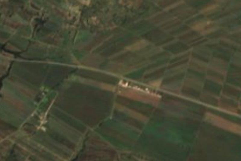

Plan your visit to Mazapiltepec de Juárez
Where to stay near Mazapiltepec de Juárez
Compare hotels, posadas and guest houses in Mazapiltepec de Juárez.
Tours to Mazapiltepec de Juárez
Day trips and guided outings from Ixtenco often include Mazapiltepec de Juárez; with a local guide you can get there without a car.
How to get to Mazapiltepec de Juárez
- From Huamantla: about 35 min by road (~39 km)
- Nearest airport: Puebla (PBC), 1 h 16 min by car to Ixtenco
Links open a partner site. We may earn a commission if you book, at no cost to you.
About Mazapiltepec de Juárez
Mazapiltepec de Juárez is the seat of the municipality of the same name in east-central Puebla, in the Ciudad Serdán region. The place name is Nahuatl, from mazatl, deer, pil, tenderness or smallness, and tepetl, hill: "on the hill of the fawn". It lies at roughly 2,400 m above sea level and counted 1,593 inhabitants in 2020. As a town, it was founded in 1906.
The municipality is small, about 55 km², 0.16% of the state, in uplands between 2,320 and 2,550 m that slope toward the Llanos de San Juan. It borders San José Chiapa to the north and north-west, San Salvador el Seco to the east, General Felipe Ángeles and Acatzingo to the south and Soltepec to the west. Like its neighbours, it shares a landscape of farmed plains and low hills.
The village's main building is the church of Saint Margaret of Antioch. For anyone touring the area, Mazapiltepec lies between San José Chiapa, home to the Audi plant, and San Salvador el Seco, with its 17th-century parish church.
How to get to Mazapiltepec de Juárez
Drive from Huamantla: 35 min, 39 km
Mazapiltepec de Juárez lies in east-central Puebla between San José Chiapa and San Salvador el Seco. It is some 53 km in a straight line to Puebla city, roughly 1 hour by car, and the Pueblo Mágico of Ixtenco in Tlaxcala about 28 km.
Directions to Mazapiltepec de Juárez on Google Maps
Distances are in a straight line; the road is usually longer.
Links open a partner site. We may earn a commission if you book, at no cost to you.
From the nearest cities to Mazapiltepec de Juárez
- Huamantla · 39 km by road, 35 min
- Puebla · 72 km by road, 1 h 5 min
- Chiautempan · 79 km by road, 1 h 10 min
Drive times by road from OpenStreetMap, without traffic or stops. Times marked ~ are estimated from the straight-line distance.
Visiting Mazapiltepec de Juárez: what to see and do
The church of Saint Margaret of Antioch.
The plains and low hills of east-central Puebla.
Pair it with San Salvador el Seco and San José Chiapa.
Plan your trip
Places to stay in Mazapiltepec de Juárez
Compare hotels, posadas, and rentals in and around Mazapiltepec de Juárez.
Tours & activities
Day trips and guided outings from Ixtenco often include Mazapiltepec de Juárez; with a local guide you can get there without a car.
Rental cars
Pick up a car at PBC (Puebla): about 1 h 16 min by road to Ixtenco, then 28 km more to Mazapiltepec de Juárez, on your own schedule.
Flights
The nearest airport with scheduled flights is Puebla (PBC), about 1 h 16 min by road from Ixtenco, the base for Mazapiltepec de Juárez.
Mobile data
Signal can drop away from Ixtenco: download a map of the way to Mazapiltepec de Juárez before you set out, or carry an eSIM with data.
Links open a partner site. We may earn a commission if you book, at no cost to you.
When to go to Mazapiltepec de Juárez cool
Mazapiltepec de Juárez shares the climate of Ixtenco, 28 km away. The best months to visit are February, March, November, and December.
See the month-by-month climate of Ixtenco
Weather in Mazapiltepec de Juárez now and the next 7 days
Live forecast from Open-Meteo. Chance of rain is the day's highest.
The closest Pueblo Mágico: Ixtenco

Ixtenco is the Pueblo Mágico closest to Mazapiltepec de Juárez, with places to stay, food, and more to see.
Also close to
- Huamantla · Tlaxcala · 31 km away
- Cholula · Puebla · 64 km away
- Coscomatepec · Veracruz · 69 km away
- Tlaxco · Tlaxcala · 70 km away
- Orizaba · Veracruz · 70 km away
Closest to Mazapiltepec de Juárez
-
Soltepec · Village · 1 km away
-
Rinconada · Village · 3 km away
-
San Salvador el Seco · Town · 7 km away
-
San Sebastián Villanueva · Village · 7 km away
-
Aljibes · Village · 8 km away
-
Santa María Coatepec · Village · 12 km away
-
Santa Úrsula Chiconquiac · Village · 12 km away
-
Santa María Ixtiyucan · Village · 14 km away
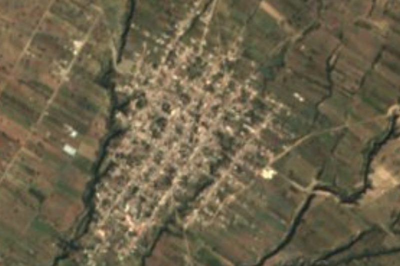
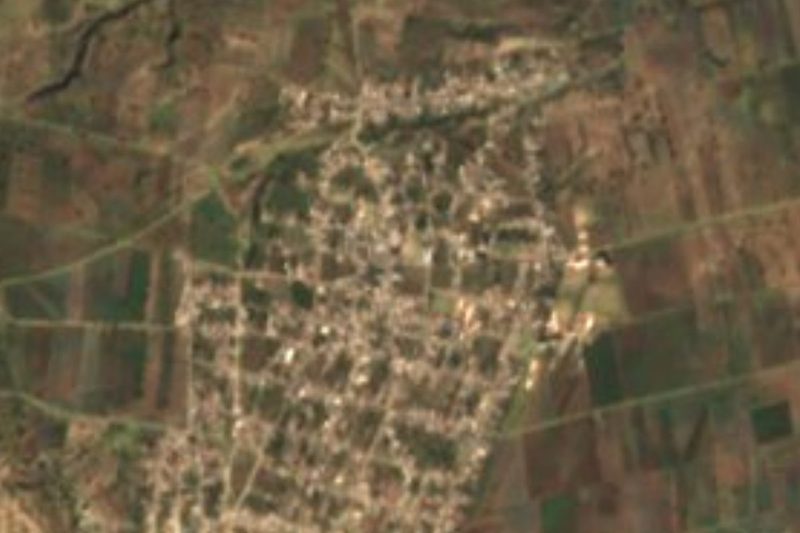
Near Mazapiltepec de Juárez





Drive times by road from OpenStreetMap, without traffic. Times marked ~ are estimated from the straight-line distance.
Location from OpenStreetMap. Written by Puebloteca.