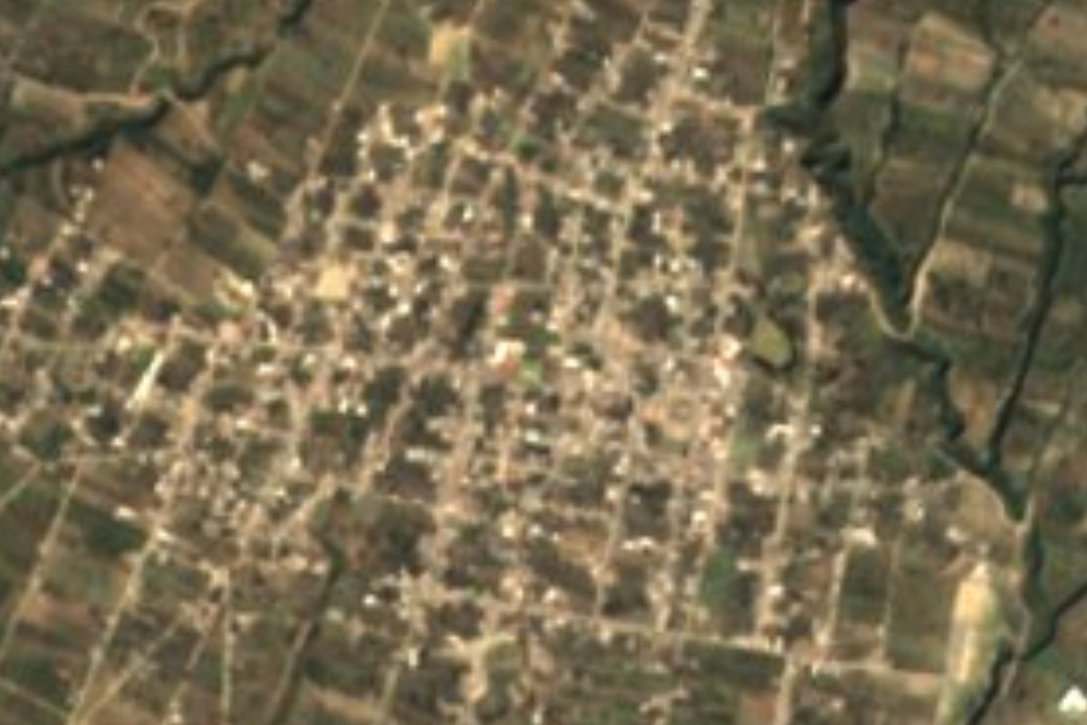
Village Acatzingo, Puebla Municipality of Acatzingo
Acatzingo village at 2,317 m on the high edge of the Tepeaca Valley, where the cornfields start climbing toward the Sierra Madre Oriental.
From Huamantla: 45 min by car (52 km by road) How to get there ↓
Near here
See everything nearby ↓

Plan your visit to San Sebastián Villanueva
Where to stay near San Sebastián Villanueva
Compare hotels, posadas and guest houses in San Sebastián Villanueva.
Tours to San Sebastián Villanueva
Day trips and guided outings from Ixtenco often include San Sebastián Villanueva; with a local guide you can get there without a car.
How to get to San Sebastián Villanueva
- From Huamantla: about 45 min by road (~52 km)
- Nearest airport: Puebla (PBC), 1 h 16 min by car to Ixtenco
Links open a partner site. We may earn a commission if you book, at no cost to you.
About San Sebastián Villanueva
While the floor of the Tepeaca Valley sits around 2,100 metres, San Sebastián Villanueva lies higher, at 2,317, in the northern strip of Acatzingo municipality where the land begins to climb toward the foothills of the Sierra Madre Oriental, which reach 2,500 metres here. The 2020 census counted 8,287 residents. Its name honours the martyr Saint Sebastian, the village's patron. In a straight line it is about 50 km from the state capital and about 31 km from Ixtenco, across the border in Tlaxcala, with the bulk of La Malinche volcano as a landmark to the northwest.
Acatzingo comes from the Nahuatl Acatzinco, which translates as place of small reed beds. The municipality covers 125 km² and belongs to the Tepeaca Valley, the eastern extension of the great Puebla–Tlaxcala plain, whose subsoil holds large deposits of limestone and marble. Almost three quarters of the land is farmed, barely 6% keeps any forest and a similar share is grassland; the streams are seasonal and everything drains to the Atoyac basin. The climate is temperate, with averages of 12 to 18 °C and 600 to 900 mm of rain a year, mostly in summer. The dominant soils are cambisols, heavy clays that yield well with fertiliser but are hard to work.
Life in the area's villages revolves around the municipal seat, Acatzingo de Hidalgo, a dozen kilometres to the southwest. There stands the sixteenth-century Franciscan convent, whose church keeps remains of seventeenth- and eighteenth-century altarpieces and a monolithic baptismal font showing the Eucharist held by angels; also the 47-arch Portal Hidalgo and the eighteenth-century sanctuary of the Virgen de los Dolores, with paintings by Miguel Jerónimo Zendejas. Every September nearly eight kilometres of carpets made of sawdust, dyed sand and chopped alfalfa are laid for that Virgin's procession, and the street market sets up on Tuesdays. The municipality's ironworks build truck bodies and campers, and the local table means carnitas, mole and tamales, with palanquetas and jamoncillo for dessert.
How to get to San Sebastián Villanueva
Drive from Huamantla: 45 min, 52 km
San Sebastián Villanueva lies about 11 km northeast of Acatzingo de Hidalgo and some 50 km in a straight line from Puebla city. The easy route is the Puebla–Orizaba toll highway to the Acatzingo exit, then local roads uphill; buses run from Puebla's CAPU terminal to Acatzingo, and shared vans connect the seat with its outlying villages.
Directions to San Sebastián Villanueva on Google Maps
Distances are in a straight line; the road is usually longer.
Links open a partner site. We may earn a commission if you book, at no cost to you.
From the nearest cities to San Sebastián Villanueva
- Huamantla · 52 km by road, 45 min
- Puebla · 63 km by road, 55 min
- Chiautempan · 91 km by road, 1 h 15 min
Drive times by road from OpenStreetMap, without traffic or stops. Times marked ~ are estimated from the straight-line distance.
Visiting San Sebastián Villanueva: what to see and do
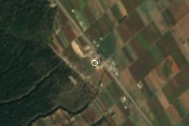
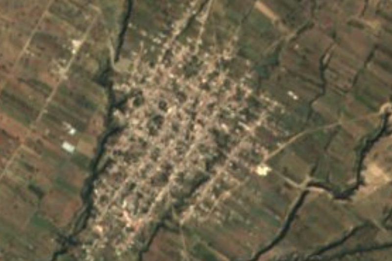
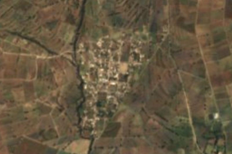
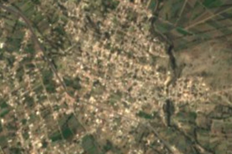
The streets and fields of San Sebastián Villanueva, on the upper edge of the valley.
In Acatzingo de Hidalgo: the sixteenth-century Franciscan convent and its monolithic font.
The 47-arch Portal Hidalgo and the Virgen de los Dolores sanctuary.
The September sawdust carpets and the Tuesday market.
Plan your trip
Places to stay in San Sebastián Villanueva
Compare hotels, posadas, and rentals in and around San Sebastián Villanueva.
Tours & activities
Day trips and guided outings from Ixtenco often include San Sebastián Villanueva; with a local guide you can get there without a car.
Rental cars
Pick up a car at PBC (Puebla): about 1 h 16 min by road to Ixtenco, then 31 km more to San Sebastián Villanueva, on your own schedule.
Flights
The nearest airport with scheduled flights is Puebla (PBC), about 1 h 16 min by road from Ixtenco, the base for San Sebastián Villanueva.
Mobile data
Signal can drop away from Ixtenco: download a map of the way to San Sebastián Villanueva before you set out, or carry an eSIM with data.
Links open a partner site. We may earn a commission if you book, at no cost to you.
When to go to San Sebastián Villanueva cool
San Sebastián Villanueva shares the climate of Ixtenco, 31 km away. The best months to visit are February, March, November, and December.
See the month-by-month climate of Ixtenco
Weather in San Sebastián Villanueva now and the next 7 days
Live forecast from Open-Meteo. Chance of rain is the day's highest.
The closest Pueblo Mágico: Ixtenco

Ixtenco is the Pueblo Mágico closest to San Sebastián Villanueva, with places to stay, food, and more to see.
Also close to
- Huamantla · Tlaxcala · 35 km away
- Cholula · Puebla · 62 km away
- Orizaba · Veracruz · 69 km away
- Coscomatepec · Veracruz · 71 km away
- Huejotzingo · Puebla · 73 km away
Closest to San Sebastián Villanueva
-
Mazapiltepec de Juárez · Village · 7 km away
-
Rinconada · Village · 7 km away
-
Santa Úrsula Chiconquiac · Village · 7 km away
-
Soltepec · Village · 7 km away
-
Aljibes · Village · 9 km away
-
Carmen Serdán · Village · 10 km away
-
Acatzingo de Hidalgo · Town · 11 km away
-
Ex-Hacienda el Carmen · Village · 11 km away

Near San Sebastián Villanueva







Drive times by road from OpenStreetMap, without traffic. Times marked ~ are estimated from the straight-line distance.
Location from OpenStreetMap. Written by Puebloteca.