
Village San Juan Atenco, Puebla
Village on the Llanos de San Andrés, "at the water's edge", a short way from the Aljojuca crater lake; a municipality since 1932.
From Huamantla: 50 min by car (60 km by road) How to get there ↓
Near here
See everything nearby ↓



Plan your visit to San Juan Atenco
Where to stay near San Juan Atenco
Compare hotels, posadas and guest houses in San Juan Atenco.
Tours to San Juan Atenco
Day trips and guided outings from Ixtenco often include San Juan Atenco; with a local guide you can get there without a car.
How to get to San Juan Atenco
- From Huamantla: about 50 min by road (~60 km)
- Nearest airport: Puebla (PBC), 1 h 16 min by car to Ixtenco
Links open a partner site. We may earn a commission if you book, at no cost to you.
About San Juan Atenco
San Juan Atenco is the seat of the municipality of the same name in east-central Puebla. The name comes from the Nahuatl atl, water, tentli, edge, and co, in: "at the water's edge". The village stands at about 2,440 m and had 2,111 people in 2020.
Nahua groups founded it before the Conquest, and its land belonged to Chalchicomula until September 1932, when it became a municipality that also took in the haciendas of San Antonio Ares and Ocotepec. The municipality covers about 96 km² and borders Aljojuca and San Nicolás Buenos Aires to the north, General Felipe Ángeles to the west, Quecholac to the south and Chalchicomula de Sesma to the east.
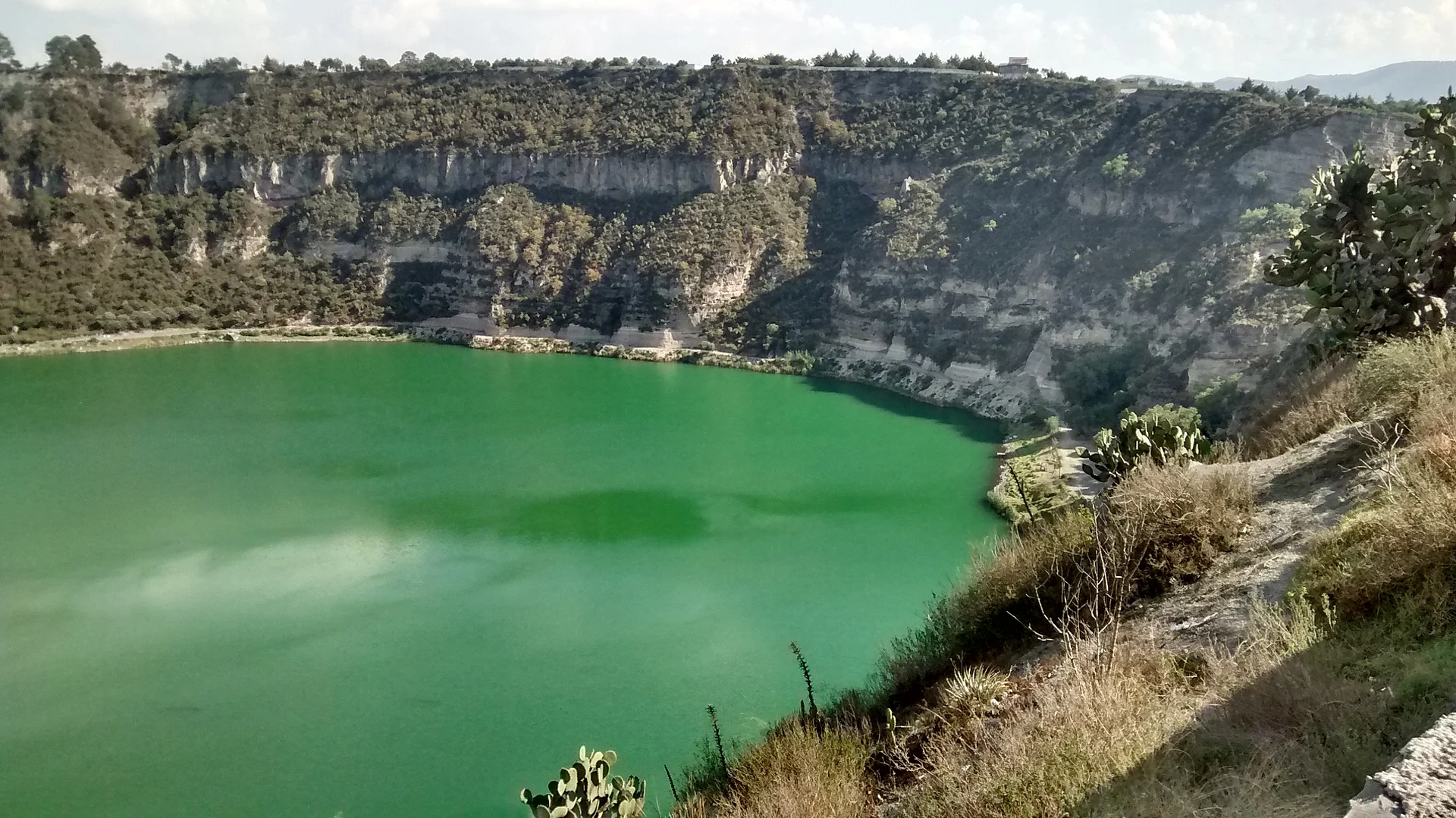
A kilometre and a half from the village, toward Aljojuca, lies Laguna de Aljojuca, a maar, a water-filled volcanic crater almost 1 km across and about 50 m deep. On its north side a small wood offers year-round camping and a dirt road leads down; on the south side, near-vertical cliffs. In winter comes what locals call the azuframiento: the water turns from deep blue to emerald green and the fish rise to the surface, the best time for fishing.
How to get to San Juan Atenco
Drive from Huamantla: 50 min, 60 km
San Juan Atenco lies in east-central Puebla next to Aljojuca. Laguna de Aljojuca is about an hour and a half from Puebla city, which is about 70 km away in a straight line. Orizaba in Veracruz is about 53 km away, and Ciudad Serdán, the seat of Chalchicomula, lies to the east. You reach the lake on footpaths or a dirt track; walking down takes under an hour.
Directions to San Juan Atenco on Google Maps
Distances are in a straight line; the road is usually longer.
Links open a partner site. We may earn a commission if you book, at no cost to you.
From the nearest cities to San Juan Atenco
- Huamantla · 60 km by road, 50 min
- Orizaba · 77 km by road, 1 h 5 min
- Puebla · 86 km by road, 1 h 15 min
Drive times by road from OpenStreetMap, without traffic or stops. Times marked ~ are estimated from the straight-line distance.
Before you go to San Juan Atenco: hours, prices and tips
- Best season
- In winter Laguna de Aljojuca turns from blue to emerald green (the azuframiento), the best season for fishing. Wikipedia · checked Oct 2026
Hours and prices change, especially around holidays. Each fact links to where we checked it.
Visiting San Juan Atenco: what to see and do
The Aljojuca crater lake, 1.5 km away.
Camping in the small wood on the lake's north side.
The winter colour change of the water, the azuframiento.
The old haciendas of San Antonio Ares and Ocotepec.
Plan your trip
Places to stay in San Juan Atenco
Compare hotels, posadas, and rentals in and around San Juan Atenco.
Tours & activities
Day trips and guided outings from Ixtenco often include San Juan Atenco; with a local guide you can get there without a car.
Rental cars
Pick up a car at PBC (Puebla): about 1 h 16 min by road to Ixtenco, then 45 km more to San Juan Atenco, on your own schedule.
Flights
The nearest airport with scheduled flights is Puebla (PBC), about 1 h 16 min by road from Ixtenco, the base for San Juan Atenco.
Mobile data
Signal can drop away from Ixtenco: download a map of the way to San Juan Atenco before you set out, or carry an eSIM with data.
Links open a partner site. We may earn a commission if you book, at no cost to you.
When to go to San Juan Atenco cool
San Juan Atenco shares the climate of Ixtenco, 45 km away. The best months to visit are February, March, November, and December.
See the month-by-month climate of Ixtenco
Weather in San Juan Atenco now and the next 7 days
Live forecast from Open-Meteo. Chance of rain is the day's highest.
The closest Pueblo Mágico: Ixtenco

Ixtenco is the Pueblo Mágico closest to San Juan Atenco, with places to stay, food, and more to see.
Also close to
- Huamantla · Tlaxcala · 47 km away
- Coscomatepec · Veracruz · 52 km away
- Orizaba · Veracruz · 53 km away
- Xico · Veracruz · 67 km away
- Córdoba · Veracruz · 67 km away
Closest to San Juan Atenco
-
Aljojuca · Village · 2 km away
-
San Miguel Tecuitlapa · Village · 3 km away
-
Santa María Coatepec · Village · 6 km away
-
Aljibes · Village · 10 km away
-
Ahuatepec del Camino · Village · 12 km away
-
San Salvador el Seco · Town · 12 km away
-
Ciudad Serdán · Town · 15 km away
-
Rinconada · Village · 15 km away

Near San Juan Atenco

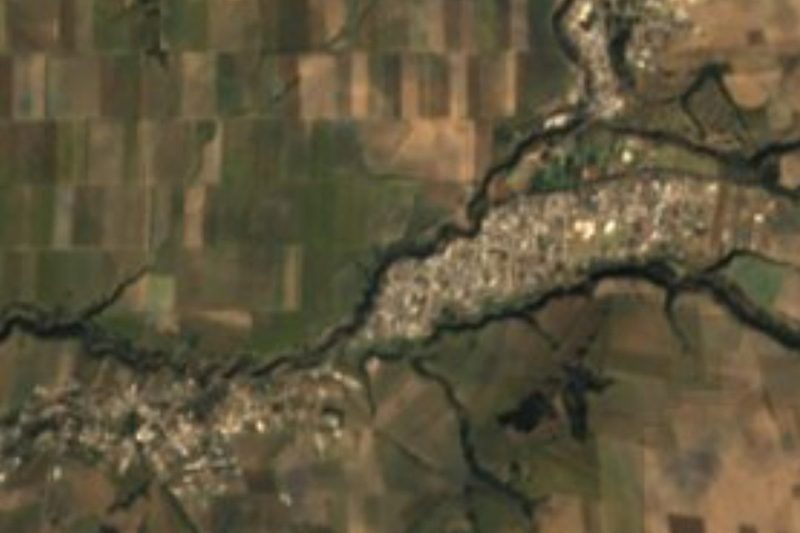


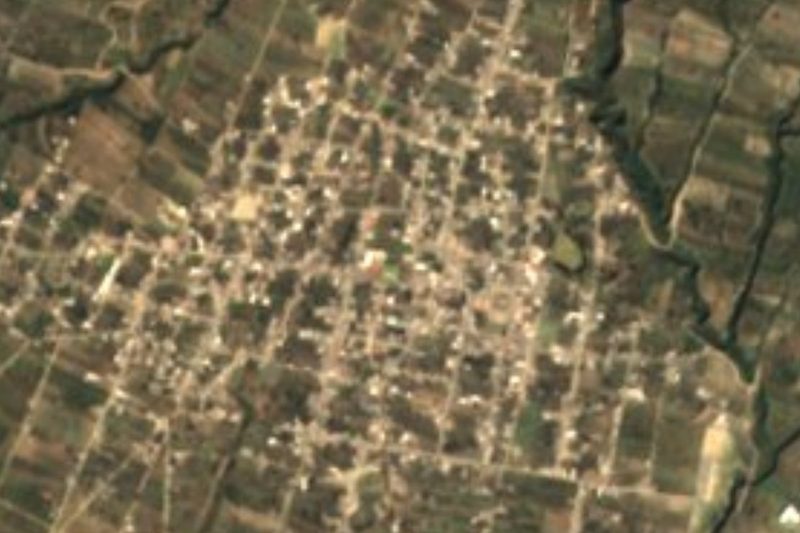
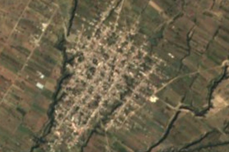


Drive times by road from OpenStreetMap, without traffic. Times marked ~ are estimated from the straight-line distance.
Location from OpenStreetMap. Written by Puebloteca.