Village Aljojuca, Puebla
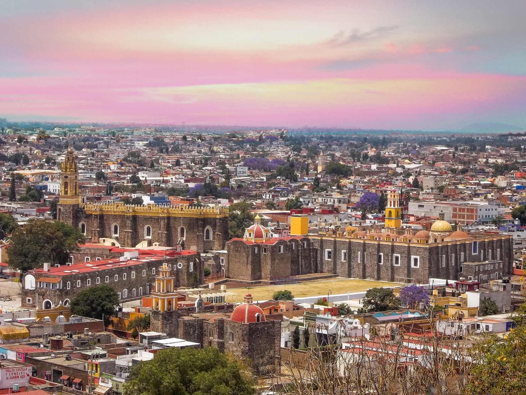
Village of Aljojuca, "behind the stones", on the cool plains of eastern Puebla, with its church of Saint Michael and a lake that bears its name.
From Huamantla: 50 min by car (59 km by road) How to get there ↓
Near here
See everything nearby ↓



Plan your visit to San Miguel Tecuitlapa
Where to stay near San Miguel Tecuitlapa
Compare hotels, posadas and guest houses in San Miguel Tecuitlapa.
Tours to San Miguel Tecuitlapa
Day trips and guided outings from Ixtenco often include San Miguel Tecuitlapa; with a local guide you can get there without a car.
 Tours from Puebla City
Africam Safari Zoo Admission with Transportation
★ 4.8 (87) · From US$35
How to get to San Miguel Tecuitlapa
- From Huamantla: about 50 min by road (~59 km)
- Nearest airport: Puebla (PBC), 1 h 16 min by car to Ixtenco
Links open a partner site. We may earn a commission if you book, at no cost to you.
Tours from Puebla City, near San Miguel Tecuitlapa


Tours, prices and ratings from Viator, checked weekly. We may earn a commission if you book.
About San Miguel Tecuitlapa
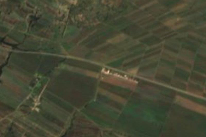
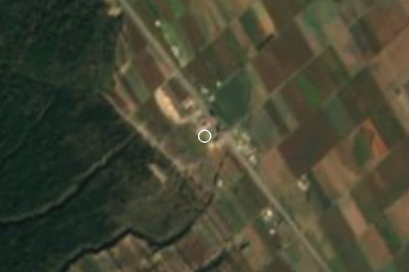
"Behind the stones": that is the meaning of Tecuitlapa, from the Nahuatl tetl, stone, and cuitlapan, behind. The village, dedicated to Saint Michael the Archangel, is one of the three main settlements of the small municipality of Aljojuca, along with the seat and San Antonio Jalapasco. In 2020, 1,439 people lived here, about 2,430 m above sea level, on the high plateau of eastern Puebla with Pico de Orizaba in view.
Aljojuca covers barely 52 km² and has no rivers: only streams that run in the rainy season and drain into the closed basin of Lake Totolcingo. Its two notable bodies of water are lakes: Laguna de Aljojuca, a crater lake beside the seat, and Laguna de Tecuitlapa, which shares this village's name. The surrounding plain is almost entirely farmed; the rest is grassland and some scrub. The climate is mild and rather dry, averaging 12 to 14 °C with 600 to 700 mm of rain a year.
The church of San Miguel Arcángel is listed as a historic monument. Local cooking includes mutton mixiote, barbacoa, chileatole and tejocote preserves, washed down with pulque. The municipality even has its own corrido, "Aljojuca".
How to get to San Miguel Tecuitlapa
Drive from Huamantla: 50 min, 59 km
San Miguel Tecuitlapa lies in the municipality of Aljojuca, on the plains of eastern Puebla, about 70 km in a straight line from the capital. Ciudad Serdán is close by to the south-east, and Aljojuca a few minutes away. The practical approach is by car on the Puebla–Orizaba highway, then local roads.
Directions to San Miguel Tecuitlapa on Google Maps
Distances are in a straight line; the road is usually longer.
Links open a partner site. We may earn a commission if you book, at no cost to you.
From the nearest cities to San Miguel Tecuitlapa
- Huamantla · 59 km by road, 50 min
- Orizaba · 81 km by road, 1 h 10 min
- Puebla · 85 km by road, 1 h 15 min
Drive times by road from OpenStreetMap, without traffic or stops. Times marked ~ are estimated from the straight-line distance.
Visiting San Miguel Tecuitlapa: what to see and do
The church of San Miguel Arcángel.
Laguna de Tecuitlapa.
The crater lake at Aljojuca, the municipal seat.
Views of Pico de Orizaba across the plain.
Plan your trip
Places to stay in San Miguel Tecuitlapa
Compare hotels, posadas, and rentals in and around San Miguel Tecuitlapa.
Tours & activities
Day trips and guided outings from Ixtenco often include San Miguel Tecuitlapa; with a local guide you can get there without a car.
Rental cars
Pick up a car at PBC (Puebla): about 1 h 16 min by road to Ixtenco, then 43 km more to San Miguel Tecuitlapa, on your own schedule.
Flights
The nearest airport with scheduled flights is Puebla (PBC), about 1 h 16 min by road from Ixtenco, the base for San Miguel Tecuitlapa.
Mobile data
Signal can drop away from Ixtenco: download a map of the way to San Miguel Tecuitlapa before you set out, or carry an eSIM with data.
Links open a partner site. We may earn a commission if you book, at no cost to you.
When to go to San Miguel Tecuitlapa cool
San Miguel Tecuitlapa shares the climate of Ixtenco, 43 km away. The best months to visit are February, March, November, and December.
See the month-by-month climate of Ixtenco
Weather in San Miguel Tecuitlapa now and the next 7 days
Live forecast from Open-Meteo. Chance of rain is the day's highest.
The closest Pueblo Mágico: Ixtenco

Ixtenco is the Pueblo Mágico closest to San Miguel Tecuitlapa, with places to stay, food, and more to see.
Also close to
- Huamantla · Tlaxcala · 45 km away
- Coscomatepec · Veracruz · 53 km away
- Orizaba · Veracruz · 55 km away
- Xico · Veracruz · 67 km away
- Córdoba · Veracruz · 69 km away
Closest to San Miguel Tecuitlapa
-
Aljojuca · Village · 3 km away
-
San Juan Atenco · Village · 3 km away
-
Santa María Coatepec · Village · 5 km away
-
Aljibes · Village · 10 km away
-
San Salvador el Seco · Town · 10 km away
-
Rinconada · Village · 14 km away
-
Ahuatepec del Camino · Village · 15 km away
-
Mazapiltepec de Juárez · Village · 16 km away
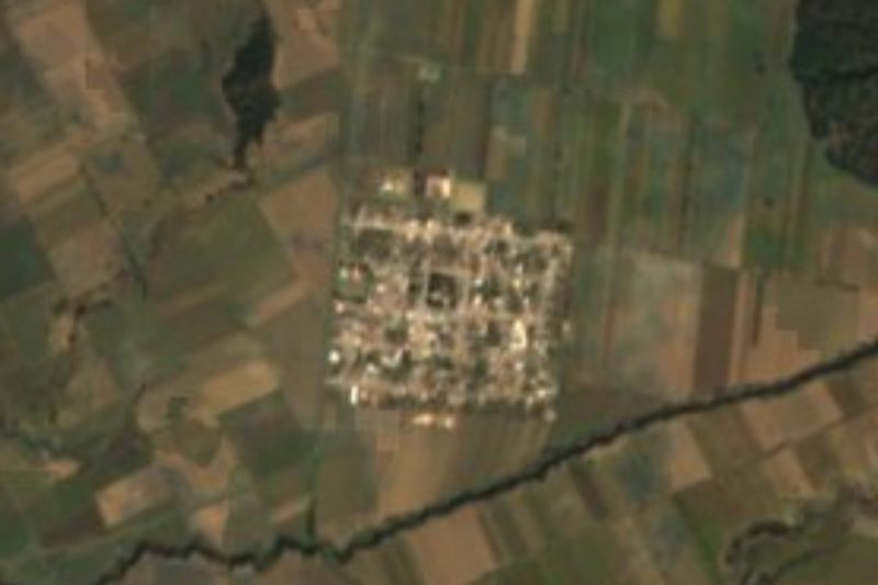

Near San Miguel Tecuitlapa


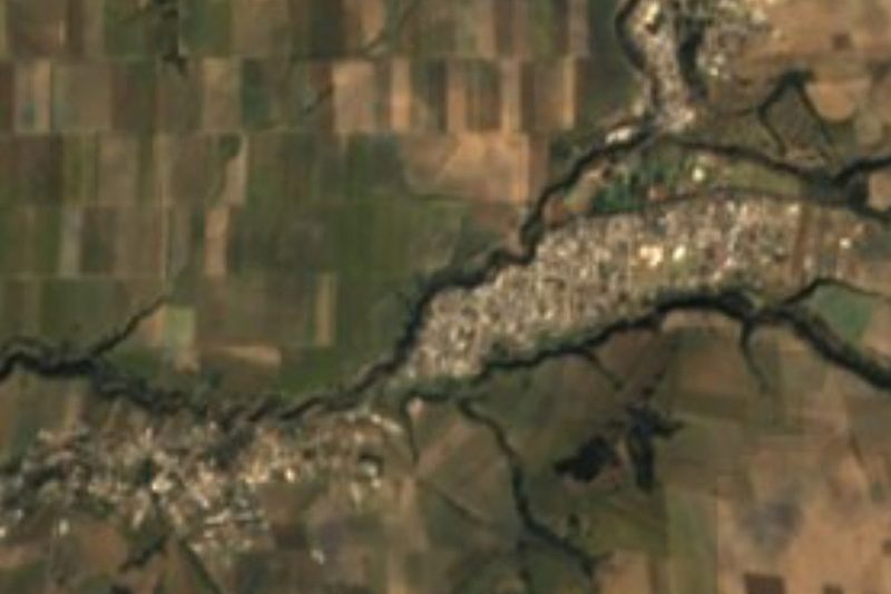
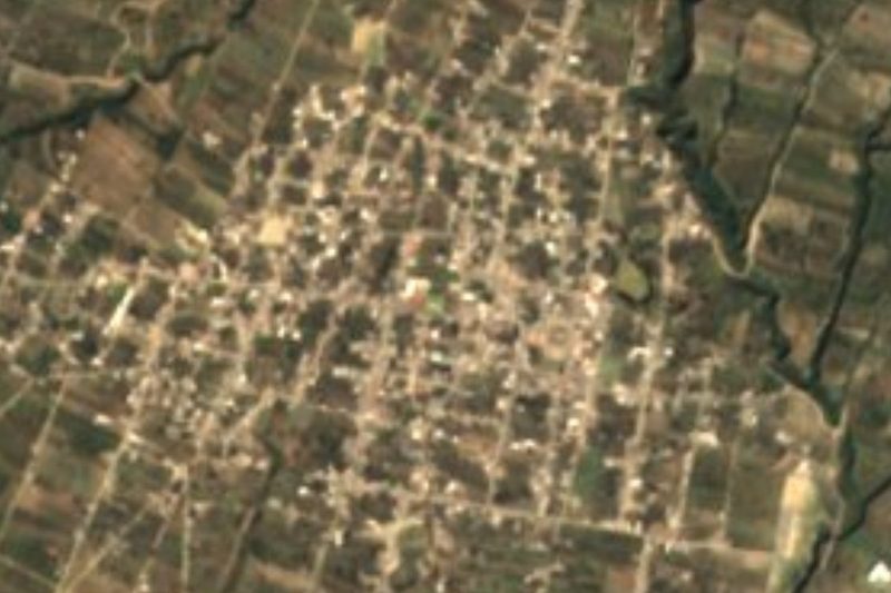
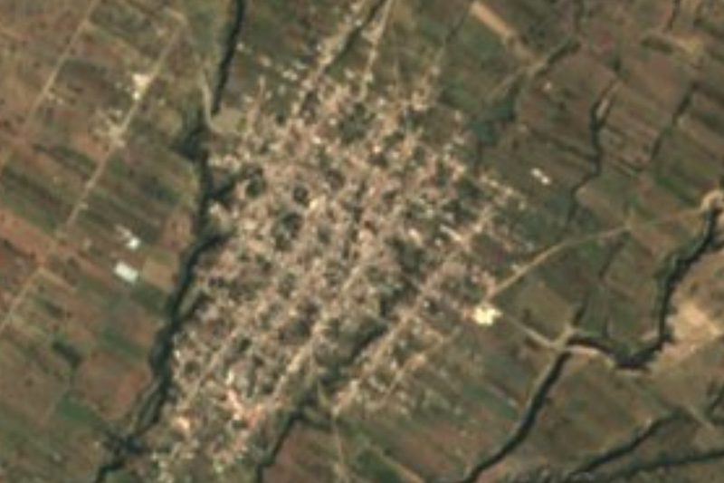
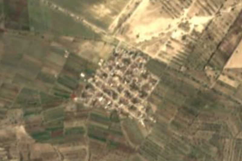




Drive times by road from OpenStreetMap, without traffic. Times marked ~ are estimated from the straight-line distance.
Location from OpenStreetMap. Written by Puebloteca.