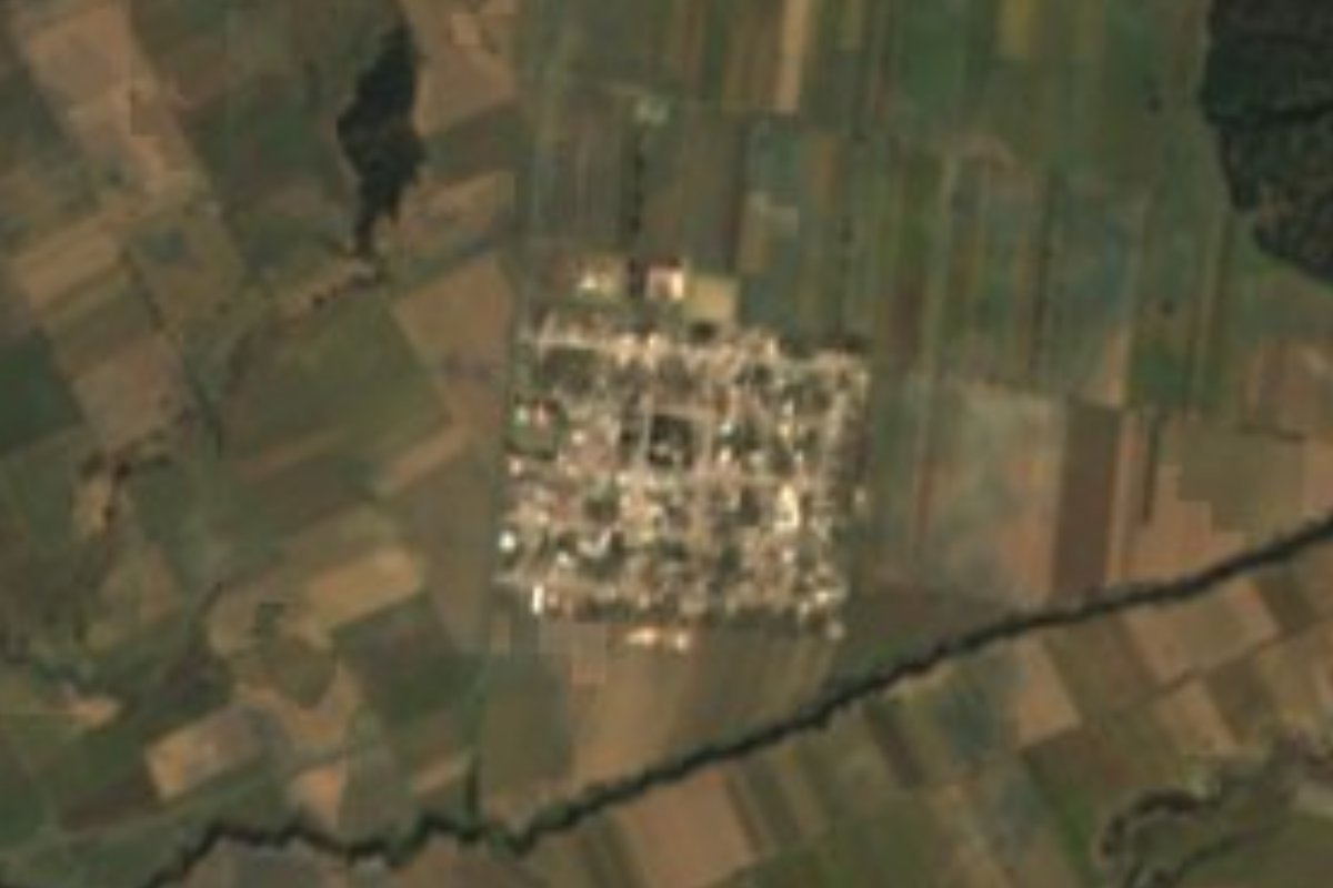
Village Chalchicomula de Sesma, Puebla Municipality of Chalchicomula de Sesma
Farming village on the Llanos de San Andrés, "on the hill of oaks", at 2,654 m and 10 km from Ciudad Serdán, facing Pico de Orizaba.
From Orizaba: 1 h by car (70 km by road) How to get there ↓
Near here
See everything nearby ↓


Plan your visit to Ahuatepec del Camino
Where to stay near Ahuatepec del Camino
Compare hotels, posadas and guest houses in Ahuatepec del Camino.
Tours to Ahuatepec del Camino
Day trips and guided outings from Coscomatepec often include Ahuatepec del Camino; with a local guide you can get there without a car.
 Tours from Puebla City
Africam Safari Zoo Admission with Transportation
★ 4.8 (87) · From US$35
How to get to Ahuatepec del Camino
- From Orizaba: about 1 h by road (~70 km)
- Nearest airport: Veracruz (VER), 1 h 50 min by car to Coscomatepec
Links open a partner site. We may earn a commission if you book, at no cost to you.
Tours from Puebla City, near Ahuatepec del Camino


Tours, prices and ratings from Viator, checked weekly. We may earn a commission if you book.
About Ahuatepec del Camino
At this altitude, 2,654 m, the eastern horizon belongs to the Citlaltépetl, Mexico's highest mountain, rising some 20 km from Ciudad Serdán. Ahuatepec del Camino lies on the plain north of that town, about 5.8 km in a straight line, and in 2020 it had 1,510 residents, 771 women and 739 men, making it the fifth most populous of Chalchicomula de Sesma's 59 localities. Its Nahuatl name joins ahuatl, oak, tepetl, hill, and the locative co: "on the hill of oaks". Some 2.5 km to the northeast rises Cerro Ahuatepec, at 2,831 m.
The village lives off the land. In the municipality almost 79% of the surface is farmed, and 64% of the territory is the plain known as the Llanos de San Andrés or Serdán valley, built of volcanic cones and debris. Water comes down from Pico de Orizaba's glaciers and soaks into the plain itself. The local climate is cool, averaging close to 13 °C with around 1,000 mm of rain; January is the coldest month. Nearby stand colonial haciendas whose main houses lie 3 to 8 km from the municipal seat, such as San Cayetano, Santa Inés, San Diego, La Concepción and San Jerónimo, plus the San Juan aqueduct and arches of 1723.
Nearly every home has electricity and piped water, and in 2020 two in three households had a mobile phone. There is no lodging in the village: the nearest hotels are 8 or 9 km away in Ciudad Serdán, as are most fondas, taco stands and pulquerías; there is also food in San Francisco Independencia, 3 km west. The closest neighbours are San Miguel Ocotenco and San Diego Texmelucan, just over 3 km away. The region makes colonial-style rustic furniture, leaded glass, leather shoes and wrought-iron bells. The cooking includes chileatole, mushroom texmole, tlaxcales, huitlacoche quesadillas and broad-bean soup, with tejocote preserves, sweetcorn cake, pulque and capulín or plum liqueurs. At religious fiestas the Teponaxtle dance is performed with shawm and conch.
How to get to Ahuatepec del Camino
Drive from Orizaba: 1 h, 70 km
From Puebla city it is about 103 km and around 1 h 35 min by car: highway 150D toward Orizaba, then federal roads 140 and 144 to Ciudad Serdán and finally state road PUE 394. From Ciudad Serdán it is 10 km, about 11 minutes, via 144 and PUE 394. By public transport, the practical option is the ADO terminal in Ciudad Serdán, where the Busbud search site lists AU departures to and from Puebla and Mexico City; check times before travelling. We found no published shared-van timetable between Ciudad Serdán and the village; ask at the terminal.
Directions to Ahuatepec del Camino on Google Maps
Distances are in a straight line; the road is usually longer.
Links open a partner site. We may earn a commission if you book, at no cost to you.
From the nearest cities to Ahuatepec del Camino
- Orizaba · 70 km by road, 1 h
- Huamantla · 77 km by road, 1 h 5 min
- Tehuacán · 81 km by road, 1 h 5 min
Drive times by road from OpenStreetMap, without traffic or stops. Times marked ~ are estimated from the straight-line distance.
Visiting Ahuatepec del Camino: what to see and do
Views of Pico de Orizaba and Sierra Negra from the plain.
Cerro Ahuatepec (2,831 m), 2.5 km away.
Colonial hacienda houses and the San Juan arches (1723) in the municipality.
Ciudad Serdán, 10 km away.
Plan your trip
Places to stay in Ahuatepec del Camino
Compare hotels, posadas, and rentals in and around Ahuatepec del Camino.
Tours & activities
Day trips and guided outings from Coscomatepec often include Ahuatepec del Camino; with a local guide you can get there without a car.
Rental cars
Pick up a car at VER (Veracruz): about 1 h 50 min by road to Coscomatepec, then 41 km more to Ahuatepec del Camino, on your own schedule.
Flights
The nearest airport with scheduled flights is Veracruz (VER), about 1 h 50 min by road from Coscomatepec, the base for Ahuatepec del Camino.
Mobile data
Signal can drop away from Coscomatepec: download a map of the way to Ahuatepec del Camino before you set out, or carry an eSIM with data.
Links open a partner site. We may earn a commission if you book, at no cost to you.
When to go to Ahuatepec del Camino mild
Ahuatepec del Camino shares the climate of Coscomatepec, 41 km away. The best months to visit are February, March, April, and December.
See the month-by-month climate of Coscomatepec
Weather in Ahuatepec del Camino now and the next 7 days
Live forecast from Open-Meteo. Chance of rain is the day's highest.
The closest Pueblo Mágico: Coscomatepec

Coscomatepec is the Pueblo Mágico closest to Ahuatepec del Camino, with places to stay, food, and more to see.
Also close to
Closest to Ahuatepec del Camino
-
Ciudad Serdán · Town · 6 km away
-
San Juan Arcos Ojo de Agua · Village · 6 km away
-
Santa Cruz El Veladero · Village · 10 km away
-
Aljojuca · Village · 12 km away
-
San Juan Atenco · Village · 12 km away
-
San Miguel Tecuitlapa · Village · 15 km away
-
Pico de Orizaba · Mountain · 18 km away
-
Santa María Coatepec · Village · 18 km away


Near Ahuatepec del Camino



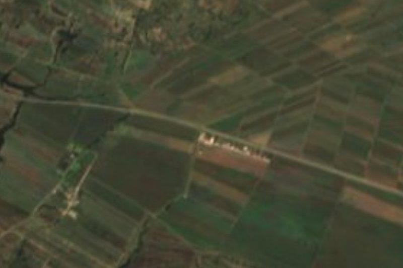

Drive times by road from OpenStreetMap, without traffic. Times marked ~ are estimated from the straight-line distance.
Location from OpenStreetMap. Written by Puebloteca.