


Mountain Veracruz Altas Montañas (Orizaba and Córdoba)
Mexico's highest peak rises right behind Coscomatepec; the road via Calcahualco climbs to high villages on its eastern slopes.
From Orizaba: 1 h 35 min by car (72 km by road) How to get there ↓
Near here
See everything nearby ↓



Plan your visit to Pico de Orizaba
Tours to Pico de Orizaba
Day trips and guided outings from Coscomatepec often include Pico de Orizaba; with a local guide you can get there without a car.
 Hiking Tour on the Pico de Orizaba Volcano
★ 3.7 (3) · From US$160
How to get to Pico de Orizaba
- From Orizaba: about 1 h 35 min by road (~72 km)
- 24 km west of Coscomatepec
- Nearest airport: Veracruz (VER), 1 h 50 min by car to Coscomatepec
Links open a partner site. We may earn a commission if you book, at no cost to you.
Popular tours to Pico de Orizaba
Tours, prices and ratings from Viator, checked weekly. We may earn a commission if you book.
About Pico de Orizaba
The Pico de Orizaba, or Citlaltépetl, "mountain of the star" in Nahuatl, is the highest mountain in Mexico at about 5,636 meters and the third highest in North America. It is a dormant volcano on the border between Veracruz and Puebla, and on a clear morning its snow cap fills the sky above Coscomatepec.
The volcano and its slopes have been a national park since 1936. Going up from Coscomatepec, the land changes fast: coffee and sugarcane give way to cornfields, then to pine and fir forest, and finally to bare volcanic sand and the glaciers near the top. The road through Calcahualco climbs to small mountain villages around 3,500 meters, among the highest communities on the Veracruz side.
Climbing to the summit is a serious mountaineering trip that needs acclimatization, glacier gear, and an experienced guide, and most climbers go between October and March. But you do not have to summit to enjoy the mountain: a drive up through the villages, a day hike in the high forest, or simply the view of the peak at sunrise makes the trip worthwhile.
How to get to Pico de Orizaba
Drive from Orizaba: 1 h 35 min, 72 km
From Coscomatepec, take the road northwest to Calcahualco and keep climbing toward the high villages on the volcano's slopes; allow at least an hour, and more in fog. The upper stretches are narrow and steep, and the weather changes quickly, so drive in daylight and bring warm clothes. Summit climbs are usually organized by guides, often from the Puebla side via Tlachichuca; check park rules with CONANP before going.
24 km west of Coscomatepec
Directions from Coscomatepec on Google Maps
Distances are in a straight line; the road is usually longer.
Links open a partner site. We may earn a commission if you book, at no cost to you.
From the nearest cities to Pico de Orizaba
- Orizaba · 72 km by road, 1 h 35 min
- Tehuacán · 89 km by road, 1 h 50 min
- Córdoba · 95 km by road, 1 h 55 min
Drive times by road from OpenStreetMap, without traffic or stops. Times marked ~ are estimated from the straight-line distance.
Before you go to Pico de Orizaba: hours, prices and tips
- Time needed
- A guided summit climb is usually a three-day trip; climbers are advised to train for about eight weeks first. El Financiero · checked Oct 2026
- Best season
- October to February is the best climbing window, once the rains have stopped. El Financiero · checked Oct 2026
- Guide or tour
- Civil Protection urges climbers to go with a certified guide who knows the mountain; the climb is high-risk and needs mountain experience. Tours: Viator GetYourGuide N+ Veracruz · checked Oct 2026
- What to bring
- Three layers of thermal clothing, waterproof gloves, hat and jacket, high-altitude boots, UV sunglasses, a 45-litre pack with 2 litres of water, snacks, first-aid kit, headlamp, helmet, harness, poles and ice axe. N+ Veracruz (Protección Civil La Perla) · checked Oct 2026
- Rules
- Check the mountain weather before setting out and tell the municipal police and Civil Protection before you climb; in an emergency call 911. N+ Veracruz (Protección Civil La Perla) · checked Oct 2026
Hours and prices change, especially around holidays. Each fact links to where we checked it.
Visiting Pico de Orizaba: what to see and do
Watch the sunrise light up the snow cap from Coscomatepec or the road above it.
Drive up through Calcahualco to the high mountain villages and walk in the pine and fir forest.
Hike with a local guide on the lower slopes of the national park.
For experienced climbers only: attempt the summit with a certified guide between October and March.
Plan your trip
Places to stay in Pico de Orizaba
Villas pico Orizaba Hotel · 6.3 km from the center Find on Expedia Villas Pico de Orizaba Hotel · 6.3 km from the center Find on Expedia Villas Puerta del Cielo Hotel · 6.3 km from the center Find on Expedia Flor de Hielo Hostel · 7.6 km from the center Find on ExpediaTours & activities
Day trips and guided outings from Coscomatepec often include Pico de Orizaba; with a local guide you can get there without a car.
Rental cars
Pick up a car at VER (Veracruz): about 1 h 50 min by road to Coscomatepec, then 24 km more to Pico de Orizaba, on your own schedule.
Flights
The nearest airport with scheduled flights is Veracruz (VER), about 1 h 50 min by road from Coscomatepec, the base for Pico de Orizaba.
Travel insurance
If you plan on hiking at altitude at Pico de Orizaba, check that your policy covers it: some plans leave adventure activities out.
Mobile data
Signal can drop away from Coscomatepec: download a map of the way to Pico de Orizaba before you set out, or carry an eSIM with data.
Links open a partner site. We may earn a commission if you book, at no cost to you. Hotel names from OpenStreetMap.
Photos
When to go to Pico de Orizaba mild
Pico de Orizaba shares the climate of Coscomatepec, 24 km away. The best months to visit are February, March, April, and December.
For the clearest views from Pico de Orizaba, go in the driest months (February, March, April, and December); in the rains, clouds tend to build up by midday.
See the month-by-month climate of Coscomatepec
Weather in Pico de Orizaba now and the next 7 days
Live forecast from Open-Meteo. Chance of rain is the day's highest.
Make Coscomatepec your base

Pico de Orizaba is an easy trip from Coscomatepec, a Pueblo Mágico with places to stay, food, and more to see.
Also close to
Closest to Pico de Orizaba
-
Chilapa · Village · 13 km away · Veracruz
-
San Isidro el Berro · Village · 13 km away · Veracruz
-
San Juan Arcos Ojo de Agua · Village · 14 km away · Puebla
-
Toluca · Village · 15 km away · Puebla
-
Atzitzintla · Town · 16 km away · Puebla
-
Ahuatepec del Camino · Village · 18 km away · Puebla
-
Cascada de Cocalzingo · Waterfall · 18 km away
-
Ciudad Serdán · Town · 20 km away · Puebla
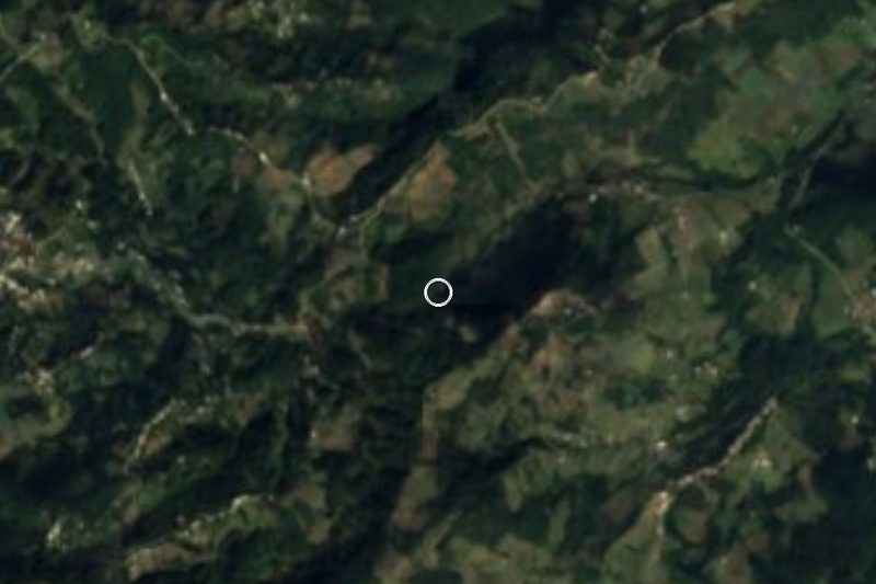

Near Pico de Orizaba
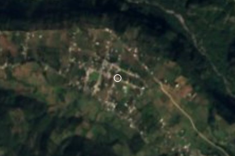





Drive times by road from OpenStreetMap, without traffic. Times marked ~ are estimated from the straight-line distance.
Lists with Pico de Orizaba
Mountains near Coscomatepec · 4 Mountains near Xico · 4Something wrong or missing on this page? Suggest a fix or addition
Location from OpenStreetMap. Written by Puebloteca.