Town Chilchotla, Puebla
Highland municipal seat on the Veracruz line, officially named Rafael J. García; waterfalls minutes from town, trout and guinda liqueur.
From Xalapa: 1 h 30 min by car (75 km by road) How to get there ↓
Near here
See everything nearby ↓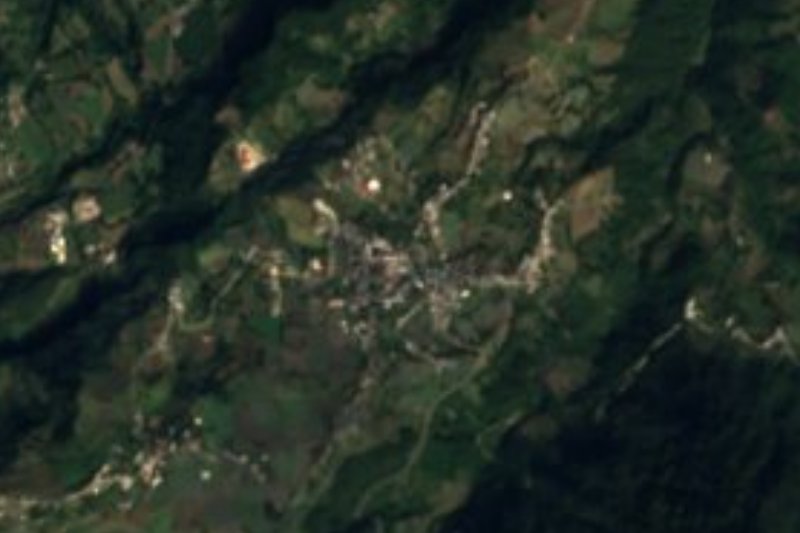



Plan your visit to Chilchotla
Where to stay near Chilchotla
Compare hotels, posadas and guest houses in Chilchotla.
Tours to Chilchotla
Day trips around Coscomatepec sometimes stop in Chilchotla; a tour is the easy way to see it without a car.
How to get to Chilchotla
- From Xalapa: about 1 h 30 min by road (~75 km)
- Nearest airport: Veracruz (VER), 1 h 50 min by car to Coscomatepec
Links open a partner site. We may earn a commission if you book, at no cost to you.
About Chilchotla
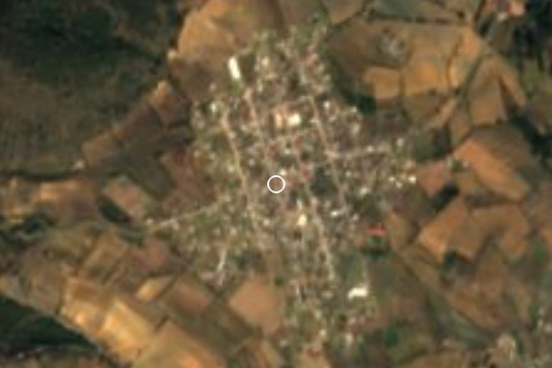
INEGI lists Chilchotla's municipal seat as Rafael J. García, after the politician who served as interim governor of Puebla in 1867, but locally everyone uses the municipality's name. The town sits at about 2,195 m on the western flank of the Sierra de Quimixtlán, a volcanic spur of the Sierra Madre Oriental, and the municipality borders Veracruz to the north. In 2020 the town had 6,054 residents, and the municipality 21,002 across 31 communities.
The name has two explanations. One traces it to Nahuatl chilchotl, the hot chilli that makes you cry; the other, which the municipal encyclopedia finds more likely since there is no record of chilli farming here, reads it as a corruption of Xilxotla, "where young corn sprouts in abundance". A Nahua settlement conquered by the Spanish in 1522, it was an alcaldía mayor in the 17th century and came under the church jurisdiction of San Juan de los Llanos in 1750. It belonged to the Chalchicomula district until becoming a municipality in 1895.
Water shapes the area. The Huitzilapan, a headwater of the La Antigua river that reaches the Gulf north of the port of Veracruz, runs through the south of the municipality, and many streams drop off the hills. The climate is mild and wet, with heavy summer rain, and pine, oak and fir forest survives on the higher ground. That damp mountain setting explains the two things the town is known for: trout, and guinda, a fruit grown mostly around the seat and turned into a local liquor. People also weave blankets, gabanes and skirts, and festivals are played by brass bands and mariachis; the municipality counts six mariachi groups.
How to get to Chilchotla
Drive from Xalapa: 1 h 30 min, 75 km
From the city of Puebla it is about 145 km, roughly 2 h 15 min: toll road 150D toward Orizaba, then 140D toward Xalapa, then federal highways 136 and 140 until state road PUE 307, which runs down to Chilchotla. From Ciudad Serdán it is about 70 km, roughly 1 h 10 min, on federal 144 and state roads 394, 322 and 307. Xalapa, the nearest city, is about 75 km and 1 h 30 min away via Xico, Teocelo and Ixhuacán de los Reyes in Veracruz. From Coscomatepec, the nearest Pueblo Mágico, it is about 50 km, roughly 1 h 10 min, on mountain roads via Calcahualco. The waterfalls are reached on dirt roads.
Directions to Chilchotla on Google Maps
Distances are in a straight line; the road is usually longer.
Links open a partner site. We may earn a commission if you book, at no cost to you.
From the nearest cities to Chilchotla
- Xalapa · 75 km by road, 1 h 30 min
- Huamantla · 100 km by road, 1 h 35 min
- Córdoba · 77 km by road, 1 h 40 min
Drive times by road from OpenStreetMap, without traffic or stops. Times marked ~ are estimated from the straight-line distance.
Before you go to Chilchotla: hours, prices and tips
- Best season
- Patron feast of Saints Peter and Paul, 28 to 30 June. Enciclopedia de los Municipios de México (INAFED) · checked Oct 2026
Hours and prices change, especially around holidays. Each fact links to where we checked it.
Visiting Chilchotla: what to see and do
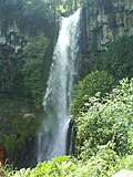
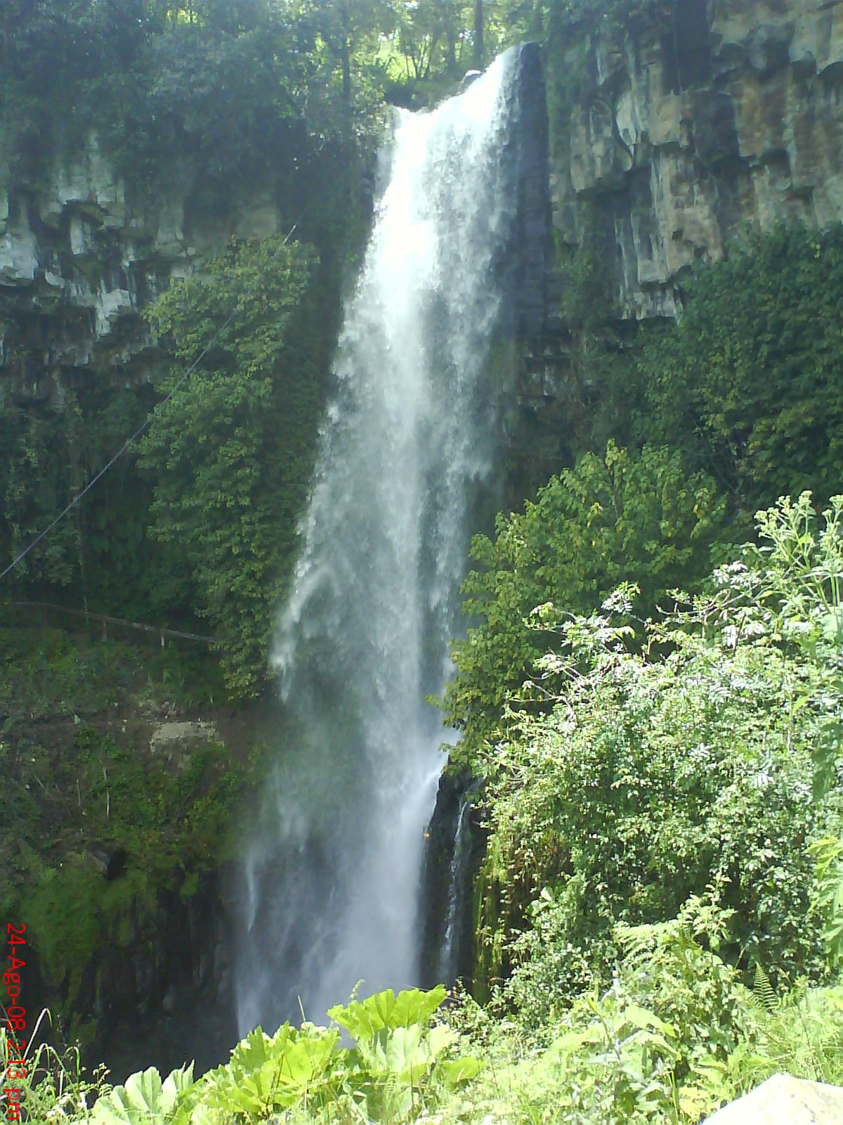
La Cascada waterfall, about 5 minutes from town in the 4th section.
La Fundición waterfall, about 10 minutes away on a dirt road toward the 3rd section.
The La Virgen recreation area, half an hour away on a dirt road.
Trout and guinda liqueur in the town's eateries.
The feast of Saints Peter and Paul, 28 to 30 June.
Plan your trip
Places to stay in Chilchotla
Compare hotels, posadas, and rentals in and around Chilchotla.
Tours & activities
Day trips around Coscomatepec sometimes stop in Chilchotla; a tour is the easy way to see it without a car.
Rental cars
Pick up a car at VER (Veracruz): about 1 h 50 min by road to Coscomatepec, then 25 km more to Chilchotla, on your own schedule.
Flights
The nearest airport with scheduled flights is Veracruz (VER), about 1 h 50 min by road from Coscomatepec, the base for Chilchotla.
Mobile data
Signal can drop away from Coscomatepec: download a map of the way to Chilchotla before you set out, or carry an eSIM with data.
Links open a partner site. We may earn a commission if you book, at no cost to you.
When to go to Chilchotla mild
Chilchotla shares the climate of Coscomatepec, 25 km away. The best months to visit are February, March, April, and December.
See the month-by-month climate of Coscomatepec
Weather in Chilchotla now and the next 7 days
Live forecast from Open-Meteo. Chance of rain is the day's highest.
The closest Pueblo Mágico: Coscomatepec

Coscomatepec is the Pueblo Mágico closest to Chilchotla, with places to stay, food, and more to see.
Also close to
Closest to Chilchotla
-
Quimixtlán · Village · 5 km away
-
Tlanalapan · Village · 10 km away
-
González Ortega · Village · 13 km away
-
Saltillo · Village · 13 km away
-
Chichiquila · Village · 14 km away
-
San José · Village · 14 km away
-
Cruz Verde · Village · 15 km away
-
Guadalupe Victoria · Town · 17 km away
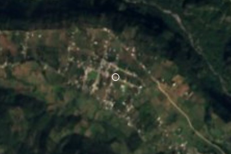

Near Chilchotla


Drive times by road from OpenStreetMap, without traffic. Times marked ~ are estimated from the straight-line distance.
Location from OpenStreetMap. Written by Puebloteca.