Village Chichiquila, Puebla Altas Montañas (Orizaba and Córdoba)
Village at Puebla's far eastern edge, on the slopes of Pico de Orizaba by Veracruz, near Coscomatepec; "where bitter greens abound".
From Córdoba: 1 h 10 min by car (66 km by road) How to get there ↓
Near here
See everything nearby ↓


Plan your visit to Chichiquila
Where to stay near Chichiquila
Compare hotels, posadas and guest houses in Chichiquila.
Tours to Chichiquila
Day trips and guided outings from Coscomatepec often include Chichiquila; with a local guide you can get there without a car.
 Tours from Veracruz
Private Sunrise Taj Mahal Tour from Delhi By Car -All inclusive
★ 5.0 (549) · From US$14
How to get to Chichiquila
- From Córdoba: about 1 h 10 min by road (~66 km)
- Nearest airport: Veracruz (VER), 1 h 50 min by car to Coscomatepec
Links open a partner site. We may earn a commission if you book, at no cost to you.
Tours from Veracruz, near Chichiquila


Tours, prices and ratings from Viator, checked weekly. We may earn a commission if you book.
About Chichiquila
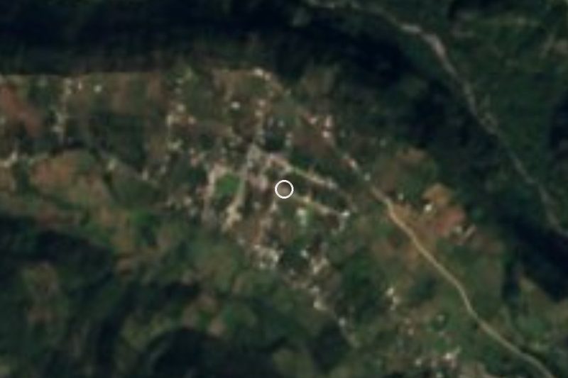
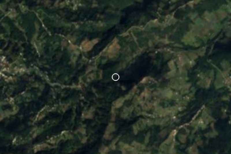
Chichiquila, on Puebla's eastern rim where the foothills of Pico de Orizaba drop toward Veracruz, governs a municipality almost surrounded by that state. The place name is Nahuatl, from chichic, bitter, quilitl, wild greens, and tlan, place of plenty: "place where bitter greens abound". The village had 3,163 people in 2020 and stands at about 1,800 m.
It was a Nahua settlement that the Spaniards subdued in 1522; lying on an important pass, it was soon granted in encomienda. Until the mid-19th century it belonged to the district of Chalchicomula de Sesma, and in 1895 it became a free municipality.
The municipality, about 110 km², drops from 2,400 to 1,200 m, from the flank of the volcano down toward the milder lands facing the Gulf. Veracruz almost surrounds it: it borders Quimixtlán, on the Puebla side, to the north and west, and the Veracruz municipalities of Ixhuacán de los Reyes, Tlaltetela, Huatusco, Coscomatepec and Calcahualco to the north-east, east and south. The Pueblo Mágico of Coscomatepec is about 14 km away and Córdoba about 37 km.
How to get to Chichiquila
Drive from Córdoba: 1 h 10 min, 66 km
Chichiquila lies at the far eastern edge of Puebla, on the Veracruz line. The Pueblo Mágico of Coscomatepec in Veracruz is about 14 km away in a straight line, and Córdoba about 37 km, roughly 50 minutes to an hour by car. It is some 121 km in a straight line to Puebla city. These are mountain roads: travel by daylight.
Directions to Chichiquila on Google Maps
Distances are in a straight line; the road is usually longer.
Links open a partner site. We may earn a commission if you book, at no cost to you.
From the nearest cities to Chichiquila
- Córdoba · 66 km by road, 1 h 10 min
- Orizaba · 75 km by road, 1 h 15 min
- Teziutlán · about 100 km by road, ~1 h 25 min
Drive times by road from OpenStreetMap, without traffic or stops. Times marked ~ are estimated from the straight-line distance.
Visiting Chichiquila: what to see and do
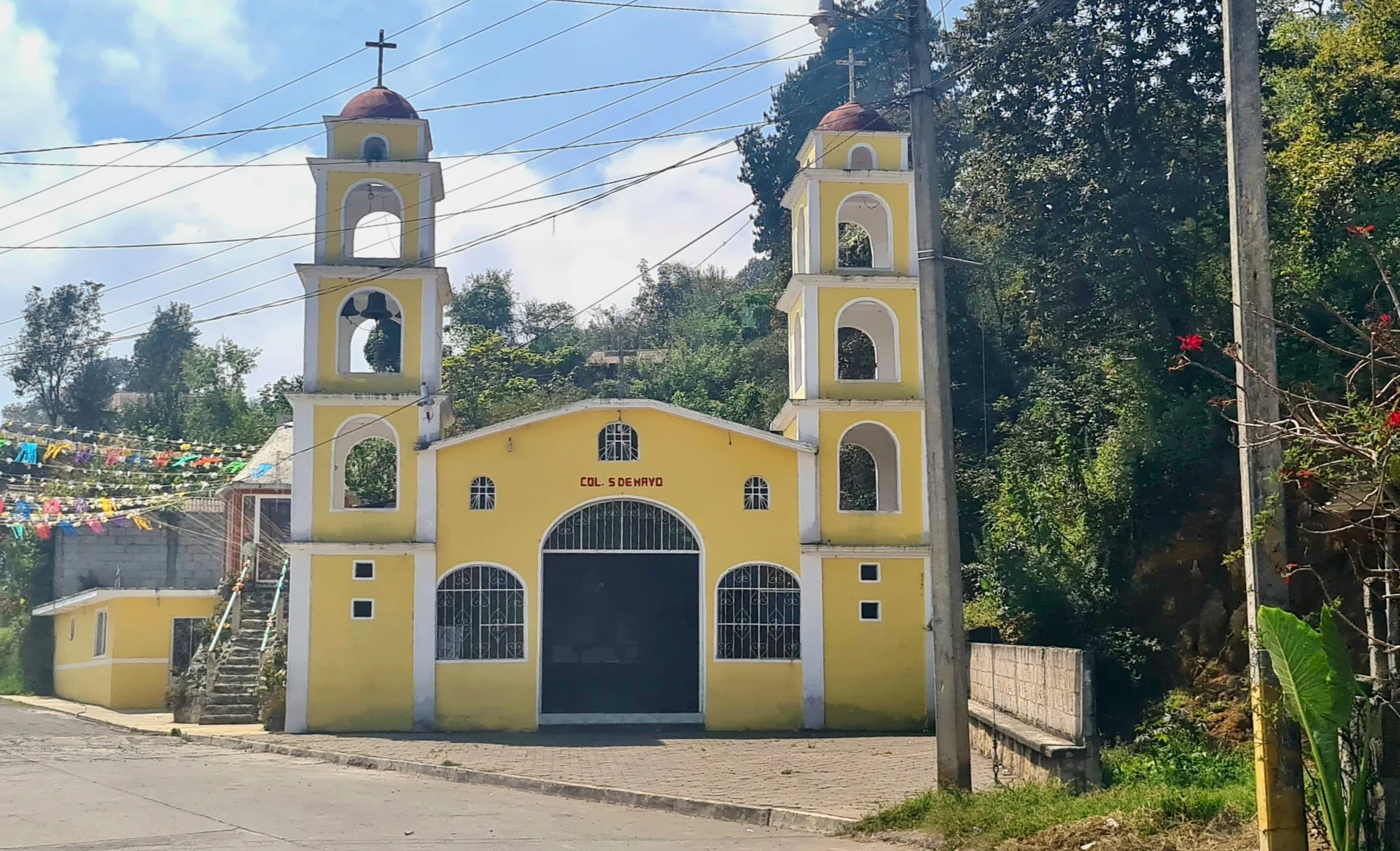
The village church.
The landscape of the Pico de Orizaba foothills dropping toward Veracruz.
Pair it with Coscomatepec, a Pueblo Mágico in Veracruz, about 14 km away.
Plan your trip
Places to stay in Chichiquila
Compare hotels, posadas, and rentals in and around Chichiquila.
Tours & activities
Day trips and guided outings from Coscomatepec often include Chichiquila; with a local guide you can get there without a car.
Rental cars
Pick up a car at VER (Veracruz): about 1 h 50 min by road to Coscomatepec, then 14 km more to Chichiquila, on your own schedule.
Flights
The nearest airport with scheduled flights is Veracruz (VER), about 1 h 50 min by road from Coscomatepec, the base for Chichiquila.
Mobile data
Signal can drop away from Coscomatepec: download a map of the way to Chichiquila before you set out, or carry an eSIM with data.
Links open a partner site. We may earn a commission if you book, at no cost to you.
When to go to Chichiquila mild
Chichiquila shares the climate of Coscomatepec, 14 km away. The best months to visit are February, March, April, and December.
See the month-by-month climate of Coscomatepec
Weather in Chichiquila now and the next 7 days
Live forecast from Open-Meteo. Chance of rain is the day's highest.
The closest Pueblo Mágico: Coscomatepec

Coscomatepec is the Pueblo Mágico closest to Chichiquila, with places to stay, food, and more to see.
Also close to
Closest to Chichiquila
-
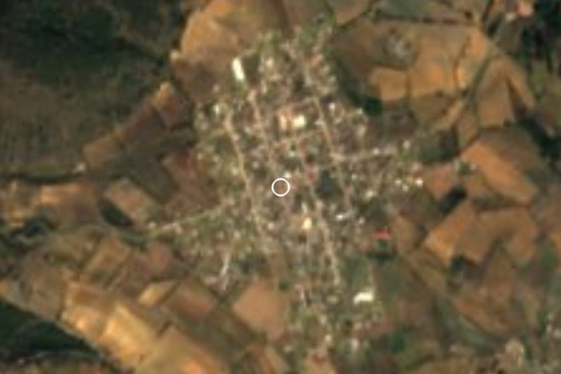
San José · Village · 1 km away
-
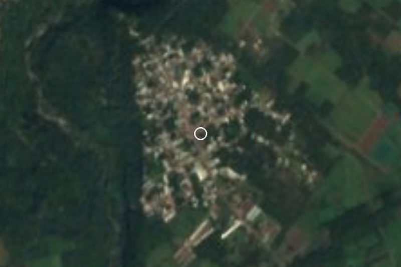
Cruz Verde · Village · 8 km away
-
Quimixtlán · Village · 9 km away
-
Ohuapan · Village · 10 km away
-
Cascada de Cocalzingo · Waterfall · 12 km away
-
Huatusco · Town · 12 km away
-
Chilchotla · Town · 14 km away
-
Tomatlán · Town · 20 km away


Near Chichiquila





Drive times by road from OpenStreetMap, without traffic. Times marked ~ are estimated from the straight-line distance.
Location from OpenStreetMap. Written by Puebloteca.