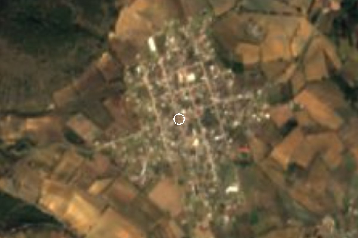
Village Lafragua, Puebla Municipality of Lafragua
A Lafragua village at about 2,880 m, called Cuecuello until around 1940 and renamed for the general who defended Puebla in the 1863 siege.
From Xalapa: 1 h 15 min by car (82 km by road) How to get there ↓
Near here
See everything nearby ↓


Plan your visit to González Ortega
Where to stay near González Ortega
Compare hotels, posadas and guest houses in González Ortega.
Tours to González Ortega
Day trips and guided outings from Xico often include González Ortega; with a local guide you can get there without a car.
How to get to González Ortega
- From Xalapa: about 1 h 15 min by road (~82 km)
- Nearest airport: Veracruz (VER), 1 h 44 min by car to Xico
Links open a partner site. We may earn a commission if you book, at no cost to you.
About González Ortega
Until around 1940 this village in eastern Puebla was called Cuecuello, a Nahuatl word for a pleated or flounced skirt. The image comes from the hill rising north-west of the village, whose folded slopes suggest a gathered skirt, and the hill still carries the old name. The present name honours Jesús González Ortega, the liberal general who held the city of Puebla against the French army from March to May 1863.
González Ortega shares with Cuauhtémoc and Tlanalapan the status of junta auxiliar, a local district with its own elected board, within Lafragua, about 15 km from the municipal seat, Saltillo. It sits at around 2,880 metres, in the belt where the mountains on the Veracruz border drop toward the dry Llanos de San Juan; Perote is a little over half an hour away. The 2020 census counted 1,879 people, most of them farmers.
Water reaches the village from mountain springs through aqueducts that also serve Tlanalapan and Saltillo, and the district has a small area of managed woodland. This is a working village with no tourist services; it suits travellers on the back roads between Perote and Lafragua's high villages who want to see daily life at nearly 3,000 metres. Typical food in the municipality includes barbacoa, mixiote cooked in maguey leaf and tamales wrapped in corn leaves, with pulque to drink.
How to get to González Ortega
Drive from Xalapa: 1 h 15 min, 82 km
The nearest city is Perote, in Veracruz: from there it is about 33 km and 40 minutes south on federal highway 140 and then local roads into Puebla. From Xalapa it is about 84 km (1 h 15 min) on the 140D motorway to Perote and the same last stretch. Xico, the closest Pueblo Mágico (in Veracruz), lies some 56 km away on mountain roads via Tonalaco; allow an hour and a half. Puebla city is about 126 km and 2 hours away on the motorway toward Xalapa, then federal and state roads (MEX-140, PUE-307). With no documented public transport, a car is the practical option.
Directions to González Ortega on Google Maps
Distances are in a straight line; the road is usually longer.
Links open a partner site. We may earn a commission if you book, at no cost to you.
From the nearest cities to González Ortega
- Xalapa · 82 km by road, 1 h 15 min
- Teziutlán · 81 km by road, 1 h 20 min
- Huamantla · 84 km by road, 1 h 20 min
Drive times by road from OpenStreetMap, without traffic or stops. Times marked ~ are estimated from the straight-line distance.
Visiting González Ortega: what to see and do
Cerro Cuecuello, north-west of the village, which gave it its old name.
The transition from the mountains on the Veracruz border to the Llanos de San Juan plain.
Aqueducts carrying spring water to the villages of Lafragua.
Municipal cooking: barbacoa, mixiote in maguey leaf, tamales in corn leaves and pulque.
Plan your trip
Places to stay in González Ortega
Compare hotels, posadas, and rentals in and around González Ortega.
Tours & activities
Day trips and guided outings from Xico often include González Ortega; with a local guide you can get there without a car.
Rental cars
Pick up a car at VER (Veracruz): about 1 h 44 min by road to Xico, then 30 km more to González Ortega, on your own schedule.
Flights
The nearest airport with scheduled flights is Veracruz (VER), about 1 h 44 min by road from Xico, the base for González Ortega.
Mobile data
Signal can drop away from Xico: download a map of the way to González Ortega before you set out, or carry an eSIM with data.
Links open a partner site. We may earn a commission if you book, at no cost to you.
When to go to González Ortega mild
González Ortega shares the climate of Xico, 30 km away. The best months to visit are February, March, April, and May.
See the month-by-month climate of Xico
Weather in González Ortega now and the next 7 days
Live forecast from Open-Meteo. Chance of rain is the day's highest.
The closest Pueblo Mágico: Xico

Xico is the Pueblo Mágico closest to González Ortega, with places to stay, food, and more to see.
Also close to
- Coatepec · Veracruz · 35 km away
- Coscomatepec · Veracruz · 38 km away
- Naolinco · Veracruz · 54 km away
- Teziutlán · Puebla · 58 km away
- Orizaba · Veracruz · 58 km away
Closest to González Ortega
-
La Gloria · Village · 6 km away
-
Saltillo · Village · 6 km away
-
Guadalupe Victoria · Town · 10 km away
-
San Agustín · Village · 10 km away
-
Tlanalapan · Village · 10 km away
-
Chilchotla · Town · 13 km away
-
Chichicuautla · Village · 14 km away
-
Los Altos · Village · 14 km away


Near González Ortega






Drive times by road from OpenStreetMap, without traffic. Times marked ~ are estimated from the straight-line distance.
Location from OpenStreetMap. Written by Puebloteca.