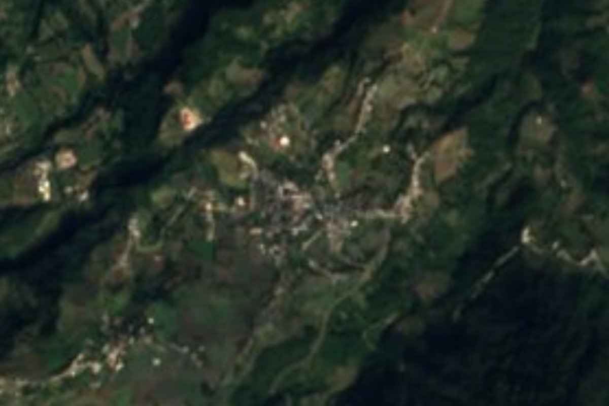
Village Quimixtlán, Puebla
Seat of a Sierra Madre Oriental municipality near the Veracruz line, with the San Juan Bautista parish.
From Xalapa: 1 h 30 min by car (71 km by road) How to get there ↓
Near here
See everything nearby ↓



Plan your visit to Quimixtlán
Where to stay near Quimixtlán
Compare hotels, posadas and guest houses in Quimixtlán.
Tours to Quimixtlán
Day trips and guided outings from Coscomatepec often include Quimixtlán; with a local guide you can get there without a car.
How to get to Quimixtlán
- From Xalapa: about 1 h 30 min by road (~71 km)
- Nearest airport: Veracruz (VER), 1 h 50 min by car to Coscomatepec
Links open a partner site. We may earn a commission if you book, at no cost to you.
About Quimixtlán
Quimixtlán is the seat of its municipality, in the west-central part of Puebla's Sierra Madre Oriental, inside the Ciudad Serdán region. The town stands at about 2,000 metres, and the 2020 census counted 1,771 residents; the whole municipality, with 59 localities, had 22,136 people in 2015. It borders Ixhuacán de los Reyes to the north and Alpatláhuac to the south, both in Veracruz, Chichiquila to the east and Chilchotla to the west.
The municipality is rugged: its height runs from 900 to 2,600 metres, averaging about 1,960. The wet mountain climate shows in the numbers: daily highs average about 26 °C and lows about 11 °C, and more than 1,600 mm of rain falls a year, concentrated between June and September, with around 186 days of measurable rain.
The seat has grown slowly and unevenly. It had 1,050 inhabitants in 1900, fell to 443 in 1910 and 354 in 1921, years of upheaval, and did not pass 1,000 again until 1980. At its centre stands the parish of San Juan Bautista. Visitors will find a mountain town rather than a headline destination: a base for exploring the roads around it.
How to get to Quimixtlán
Drive from Xalapa: 1 h 30 min, 71 km
Quimixtlán lies in the Sierra Madre Oriental close to the Veracruz line, and the road distance from the state capital is around 155 km. Neighbouring municipalities that serve as reference points are Chilchotla to the west and Chichiquila to the east; to the north and south lie Ixhuacán de los Reyes and Alpatláhuac, in Veracruz. In a straight line Coscomatepec is about 22 km away and Xalapa about 39 km (approx. 25 and 45 minutes, estimated), although mountain roads lengthen the trip. No fixed bus or colectivo timetable is published: ask at Puebla's CAPU or the terminals in Ciudad Serdán and Xalapa about services that climb to Quimixtlán, and confirm the return time. In the rainy months (June to September) allow extra time.
Directions to Quimixtlán on Google Maps
Distances are in a straight line; the road is usually longer.
Links open a partner site. We may earn a commission if you book, at no cost to you.
From the nearest cities to Quimixtlán
- Xalapa · 71 km by road, 1 h 30 min
- Córdoba · 69 km by road, 1 h 35 min
- Orizaba · 78 km by road, 1 h 35 min
Drive times by road from OpenStreetMap, without traffic or stops. Times marked ~ are estimated from the straight-line distance.
Before you go to Quimixtlán: hours, prices and tips
- Best time of day
- Rain falls mostly from June to September (about 1,612 mm a year); outside those months the road and views are drier. Wikipedia (en) · checked Oct 2026
Hours and prices change, especially around holidays. Each fact links to where we checked it.
Visiting Quimixtlán: what to see and do
Parish of San Juan Bautista, at the town's centre
The plaza and streets of the seat, at about 2,000 m
Mountain roads toward Chichiquila and Chilchotla
Wet mountain landscape, with rain from June to September
Plan your trip
Places to stay in Quimixtlán
Compare hotels, posadas, and rentals in and around Quimixtlán.
Tours & activities
Day trips and guided outings from Coscomatepec often include Quimixtlán; with a local guide you can get there without a car.
Rental cars
Pick up a car at VER (Veracruz): about 1 h 50 min by road to Coscomatepec, then 22 km more to Quimixtlán, on your own schedule.
Flights
The nearest airport with scheduled flights is Veracruz (VER), about 1 h 50 min by road from Coscomatepec, the base for Quimixtlán.
Mobile data
Signal can drop away from Coscomatepec: download a map of the way to Quimixtlán before you set out, or carry an eSIM with data.
Links open a partner site. We may earn a commission if you book, at no cost to you.
When to go to Quimixtlán mild
Quimixtlán shares the climate of Coscomatepec, 22 km away. The best months to visit are February, March, April, and December.
See the month-by-month climate of Coscomatepec
Weather in Quimixtlán now and the next 7 days
Live forecast from Open-Meteo. Chance of rain is the day's highest.
The closest Pueblo Mágico: Coscomatepec

Coscomatepec is the Pueblo Mágico closest to Quimixtlán, with places to stay, food, and more to see.
Also close to
Closest to Quimixtlán
-
Chilchotla · Town · 5 km away
-
Chichiquila · Village · 9 km away
-
San José · Village · 9 km away
-
Cruz Verde · Village · 13 km away
-
Tlanalapan · Village · 15 km away
-
Ohuapan · Village · 16 km away
-
Cascada de Cocalzingo · Waterfall · 17 km away
-
González Ortega · Village · 17 km away
Near Quimixtlán


Drive times by road from OpenStreetMap, without traffic. Times marked ~ are estimated from the straight-line distance.
Location from OpenStreetMap. Written by Puebloteca.