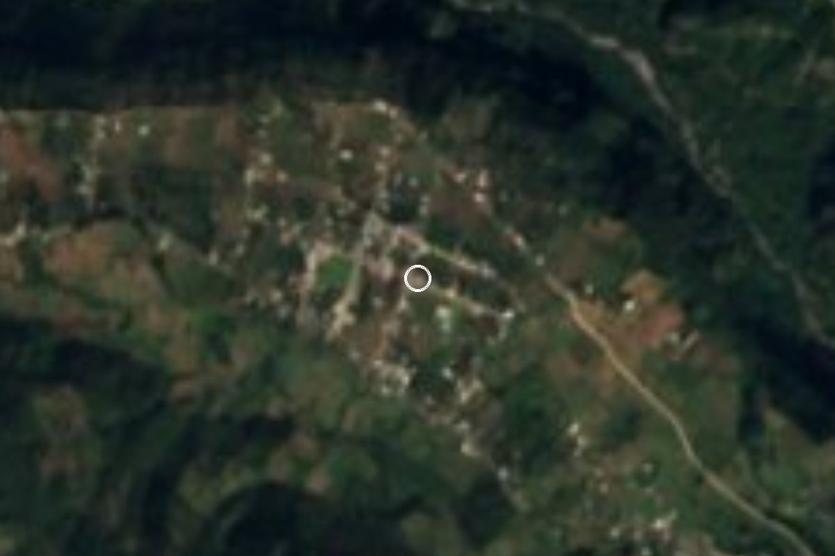
Village Calcahualco, Veracruz Altas Montañas (Orizaba and Córdoba)
Mountain village of Calcahualco at 1,940 m, just beyond the municipal seat on the slopes rising toward Pico de Orizaba; about 20 minutes from Coscomatepec.
From Córdoba: 50 min by car (40 km by road) How to get there ↓
Near here
See everything nearby ↓



Plan your visit to Cruz Verde
Where to stay near Cruz Verde
Compare hotels, posadas and guest houses in Cruz Verde.
Tours to Cruz Verde
Day trips and guided outings from Coscomatepec often include Cruz Verde; with a local guide you can get there without a car.
How to get to Cruz Verde
- From Córdoba: about 50 min by road (~40 km)
- Nearest airport: Veracruz (VER), 1 h 50 min by car to Coscomatepec
Links open a partner site. We may earn a commission if you book, at no cost to you.
About Cruz Verde
At 1,940 metres, Cruz Verde is one of the largest communities in Calcahualco, the Veracruz municipality that climbs the foothills of the Sierra Madre Oriental between Pico de Orizaba and the Cofre de Perote. Municipal land runs from about 1,400 m up to 5,500 m, and Cruz Verde sits in the lived-in, farmed belt just above the municipal seat, on the same road that comes up from Coscomatepec.
It had 1,151 residents in 2020. A century earlier, in 1921, there were 336, and by 2000 the count had passed 840. In 2020 over two thirds of homes had a mobile phone and about a quarter had internet.
Calcahualco's climate is temperate and humid, with an annual mean of about 13 °C and heavy rain in summer and early autumn. With that average, pack a warm layer. Almost the whole municipality drains into the Jamapa River basin, fed here by year-round streams such as the Cuapa, the Tizaqui and the Tliapa.
The municipality's name is usually translated from Nahuatl as "in the abandoned houses". The main feast is that of San Salvador, Calcahualco's patron, from 5 to 7 August in the municipal seat, a few minutes from Cruz Verde.
How to get to Cruz Verde
Drive from Córdoba: 50 min, 40 km
The way in is through Coscomatepec, the nearest Pueblo Mágico: from the centre head north along Calle Santos Degollado and follow the mountain road to Calcahualco; it is about 12 km and some 20 minutes to Cruz Verde, which lies about 3.4 km beyond the municipal seat. From Córdoba it is about 39 km and 50 minutes via the Córdoba–Chocamán road and then Federal Highway 143 to Coscomatepec. From Orizaba it is about 50 km, roughly an hour, on the 150D toll road and Highway 143. Long-distance buses arrive at the Córdoba and Orizaba bus stations; we found no published timetable for transport from Coscomatepec to Calcahualco or Cruz Verde, so ask in Coscomatepec or take a taxi.
Directions to Cruz Verde on Google Maps
Distances are in a straight line; the road is usually longer.
Links open a partner site. We may earn a commission if you book, at no cost to you.
From the nearest cities to Cruz Verde
- Córdoba · 40 km by road, 50 min
- Orizaba · 49 km by road, 55 min
- Teziutlán · about 105 km by road, ~1 h 30 min
Drive times by road from OpenStreetMap, without traffic or stops. Times marked ~ are estimated from the straight-line distance.
Visiting Cruz Verde: what to see and do
Views of the slopes climbing toward Pico de Orizaba.
The mountain road from Coscomatepec through Calcahualco to Cruz Verde.
The municipal seat, Calcahualco, a few minutes' drive away.
The feast of San Salvador in Calcahualco, 5 to 7 August.
Coscomatepec, a Pueblo Mágico, about 20 minutes away.
Plan your trip
Places to stay in Cruz Verde
Compare hotels, posadas, and rentals in and around Cruz Verde.
Tours & activities
Day trips and guided outings from Coscomatepec often include Cruz Verde; with a local guide you can get there without a car.
Rental cars
Pick up a car at VER (Veracruz): about 1 h 50 min by road to Coscomatepec, then 10 km more to Cruz Verde, on your own schedule.
Flights
The nearest airport with scheduled flights is Veracruz (VER), about 1 h 50 min by road from Coscomatepec, the base for Cruz Verde.
Mobile data
Signal can drop away from Coscomatepec: download a map of the way to Cruz Verde before you set out, or carry an eSIM with data.
Links open a partner site. We may earn a commission if you book, at no cost to you.
When to go to Cruz Verde mild
Cruz Verde shares the climate of Coscomatepec, 10 km away. The best months to visit are February, March, April, and December.
See the month-by-month climate of Coscomatepec
Weather in Cruz Verde now and the next 7 days
Live forecast from Open-Meteo. Chance of rain is the day's highest.
The closest Pueblo Mágico: Coscomatepec

Coscomatepec is the Pueblo Mágico closest to Cruz Verde, with places to stay, food, and more to see.
Also close to
Closest to Cruz Verde
-
Cascada de Cocalzingo · Waterfall · 4 km away
-
San José · Village · 7 km away
-
Chichiquila · Village · 8 km away
-
Quimixtlán · Village · 13 km away
-
Chilchotla · Town · 15 km away
-
Huatusco · Town · 15 km away
-
Tomatlán · Town · 16 km away
-
Chilapa · Village · 17 km away


Near Cruz Verde




Drive times by road from OpenStreetMap, without traffic. Times marked ~ are estimated from the straight-line distance.
Location from OpenStreetMap. Written by Puebloteca.