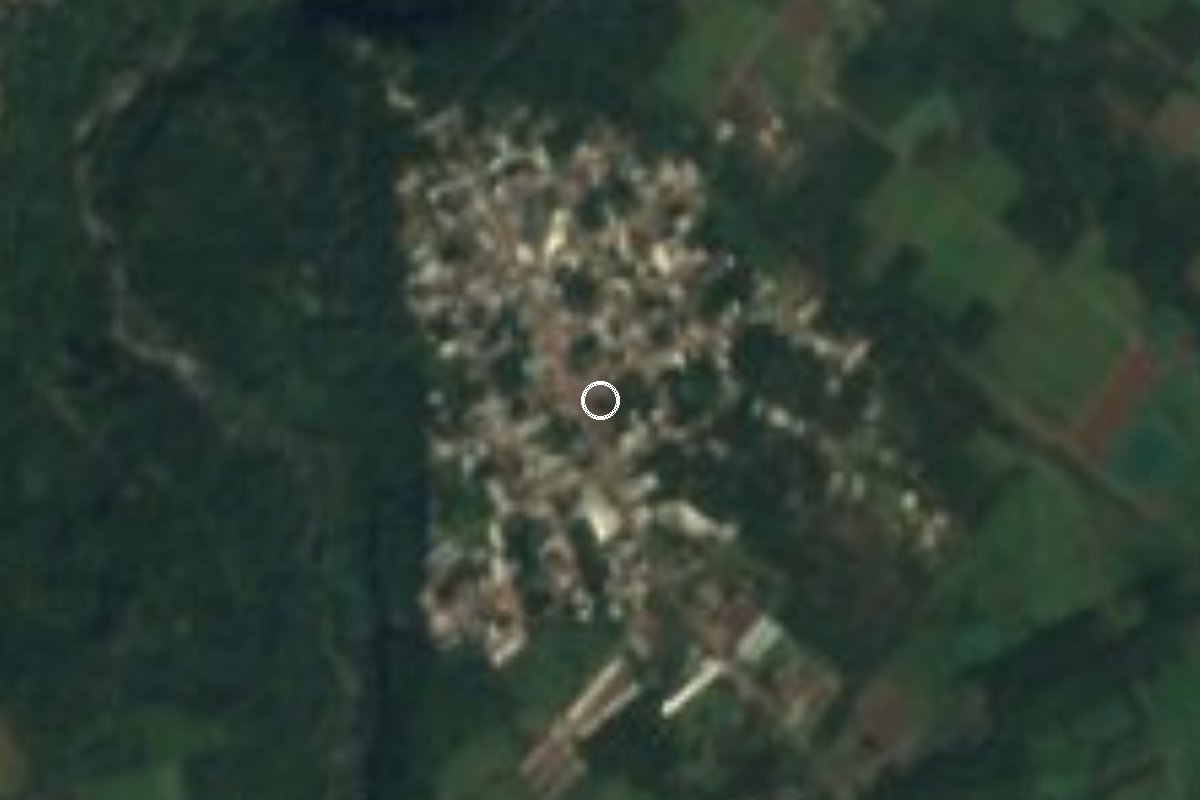
Village Fortín, Veracruz Municipality of Fortín Altas Montañas (Orizaba and Córdoba)
Fortín village on Highway 143 to Huatusco, beside the Metlac River, five minutes from Fortín de las Flores and 13 from Córdoba.
From Córdoba: 15 min by car (12 km by road) How to get there ↓
Near here
See everything nearby ↓


Plan your visit to Monte Salas
Where to stay near Monte Salas
Compare hotels, posadas and guest houses in Monte Salas.
Tours to Monte Salas
Day trips and guided outings from Córdoba often include Monte Salas; with a local guide you can get there without a car.
 Tours from Veracruz
Private Sunrise Taj Mahal Tour from Delhi By Car -All inclusive
★ 5.0 (549) · From US$14
How to get to Monte Salas
- From Córdoba: about 15 min by road (~12 km)
- Nearest airport: Veracruz (VER), 1 h 25 min by car to Córdoba
Links open a partner site. We may earn a commission if you book, at no cost to you.
Tours from Veracruz, near Monte Salas


Tours, prices and ratings from Viator, checked weekly. We may earn a commission if you book.
About Monte Salas
Monte Salas is Fortín's northern exit. Federal Highway 143, which runs from Fortín to Huatusco, doubles as its main street, and alongside it flows the Metlac River, the same river whose ravine, a few kilometres south, is famous for its bridges. With 2,222 people in 2020, up from 1,850 in 2010, it is the fifth largest of the municipality's 79 localities and has grown quickly in recent years.
It sits at about 1,170 metres, which gives it a mild and very wet climate: the yearly average is around 18 °C and it rains on more than 300 days a year. Around the village are the Metlac–Río Blanco ecological reserve and a waterfall on the river that maps label Cascada de Guadalupe. In the centre there is a park, the church, the Josefa Ortiz de Domínguez primary school, the Ricardo Muñoz Lazcano telesecundaria, a kindergarten and the Casa del Campesino community hall; along the highway there are shops, a motel and a transport stop. Eight homes in ten have a mobile phone and four in ten have internet.
Fortín is flower country: each May it holds a regional flower show, the Expo-flor, and what little craftwork there is revolves around flowers. Local sweets include jamoncillos, duquesas and palanquetas made with piloncillo. A few minutes away is the Metlac ravine, crossed by four bridges from different eras: the colonial San Miguel bridge, the Mexican Railway viaduct, in service from 1873 to 1985 and painted by José María Velasco, a newer railway bridge and the Córdoba–Orizaba motorway bridge. On 19 April 1862 the ravine saw the first clash between Mexican and French troops of the Intervention.
How to get to Monte Salas
Drive from Córdoba: 15 min, 12 km
From central Fortín de las Flores it is about 5 km and 5 minutes: head north on Federal Highway 143 (Fortín–Huatusco), which runs straight into Monte Salas. From Córdoba, the nearest Pueblo Mágico, it is about 12.5 km and 13 minutes via Bulevar Tratados de Córdoba, the 150D motorway and then the 143. From Orizaba, also a Pueblo Mágico, allow about 19 km and 19 minutes via the 150, the 150D motorway and the 143. The whole way is paved. There is a transport stop on the highway in the village, but we found no published routes or timetables; from Fortín or Córdoba a taxi is simplest.
Directions to Monte Salas on Google Maps
Distances are in a straight line; the road is usually longer.
Links open a partner site. We may earn a commission if you book, at no cost to you.
From the nearest cities to Monte Salas
- Córdoba · 12 km by road, 15 min
- Orizaba · 19 km by road, 20 min
- Tehuacán · 86 km by road, 1 h 15 min
Drive times by road from OpenStreetMap, without traffic or stops. Times marked ~ are estimated from the straight-line distance.
Visiting Monte Salas: what to see and do
The Metlac River, flowing beside the village.
The Metlac–Río Blanco ecological reserve.
The park and church of Monte Salas.
The Metlac ravine and its four bridges, a few minutes away.
Fortín's Expo-flor flower show in May.
Local sweets: jamoncillos, duquesas and palanquetas.
Plan your trip
Places to stay in Monte Salas
Compare hotels, posadas, and rentals in and around Monte Salas.
Tours & activities
Day trips and guided outings from Córdoba often include Monte Salas; with a local guide you can get there without a car.
Rental cars
Pick up a car at VER (Veracruz): about 1 h 25 min by road to Córdoba, then 10 km more to Monte Salas, on your own schedule.
Flights
The nearest airport with scheduled flights is Veracruz (VER), about 1 h 25 min by road from Córdoba, the base for Monte Salas.
Mobile data
Signal can drop away from Córdoba: download a map of the way to Monte Salas before you set out, or carry an eSIM with data.
Links open a partner site. We may earn a commission if you book, at no cost to you.
When to go to Monte Salas mild
Monte Salas shares the climate of Córdoba, 10 km away. The best months to visit are February, March, April, and December.
See the month-by-month climate of Córdoba
Weather in Monte Salas now and the next 7 days
Live forecast from Open-Meteo. Chance of rain is the day's highest.
The closest Pueblo Mágico: Córdoba

Córdoba is the Pueblo Mágico closest to Monte Salas, with places to stay, food, and more to see.
Also close to
- Orizaba · Veracruz · 13 km away
- Coscomatepec · Veracruz · 15 km away
- Xico · Veracruz · 53 km away
- Coatepec · Veracruz · 58 km away
Closest to Monte Salas
-
Barranca de Metlac · Viewpoint · 3 km away
-
Monte Blanco · Village · 3 km away
-
Moyoapan · Village · 4 km away
-
Sumidero · Village · 4 km away
-
Fortín de las Flores · Town · 5 km away
-
Cuautlapan · Village · 7 km away
-
Cuapichapan · Village · 8 km away
-
Escamela · Village · 9 km away


Near Monte Salas


Drive times by road from OpenStreetMap, without traffic. Times marked ~ are estimated from the straight-line distance.
Location from OpenStreetMap. Written by Puebloteca.