

Village Amatlán de los Reyes, Veracruz Altas Montañas (Orizaba and Córdoba)
Town of 5,400 on Highway 150 between Córdoba and Amatlán; home to the Universidad Veracruzana's farm-science faculty.
From Córdoba: 5 min by car (6 km by road) How to get there ↓
Near here
See everything nearby ↓


Plan your visit to Peñuela
Where to stay near Peñuela
Compare hotels, posadas and guest houses in Peñuela.
Tours to Peñuela
Day trips and guided outings from Córdoba often include Peñuela; with a local guide you can get there without a car.
 Tours from Veracruz
Private Sunrise Taj Mahal Tour from Delhi By Car -All inclusive
★ 5.0 (549) · From US$14
How to get to Peñuela
- From Córdoba: about 5 min by road (~6 km)
- Nearest airport: Veracruz (VER), 1 h 25 min by car to Córdoba
Links open a partner site. We may earn a commission if you book, at no cost to you.
Tours from Veracruz, near Peñuela


Tours, prices and ratings from Viator, checked weekly. We may earn a commission if you book.
About Peñuela
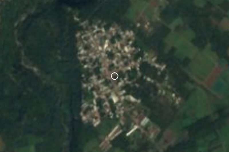
With 5,411 residents in the 2020 census, Peñuela is a sizeable community in the municipality of Amatlán de los Reyes, and barely changed from 2010, when it had 5,421. It sits at about 726 metres on Federal Highway 150, which runs through it as Avenida Hidalgo, roughly 3 km east-northeast of central Amatlán. To the west, the Córdoba–Peñuela boulevard reaches Córdoba within minutes, so day to day it works like another district of the Córdoba area.
The name is the diminutive of peña, a big boulder standing out on a hillside; locals are called peñuelenses. Its population curve is uneven: 1,170 people lived here in 1900, only 635 in 1930, and from the 1970s the town grew quickly, passing 4,600 by 1990.
The Mexico City–Veracruz railway via Córdoba had a station named Peñuela; El Jarocho, the passenger train on that route, stopped running in 1999 and only freight trains use the line now. On the Peñuela–Amatlán road, on Calle Josefa Ortiz de Domínguez, stands the Universidad Veracruzana's Faculty of Biological and Agricultural Sciences for the Orizaba-Córdoba region, which keeps a steady flow of students in town. Farmland surrounds it: nearly all of the municipality is cultivated, sugar cane matters in the La Peñuela ejido, and the climate is warm and humid, averaging 22 to 24 °C, with heavy summer rain.
How to get to Peñuela
Drive from Córdoba: 5 min, 6 km
From central Córdoba it is about 6 km and 7 minutes: head east on Avenida 3, then take the Córdoba–Peñuela boulevard, which meets Highway 150 (Avenida Hidalgo) inside Peñuela. From central Amatlán de los Reyes it is about 5 km, some 6 minutes, via Avenida Morelos and Boulevard 5 de Mayo. From Orizaba it is about 29 km and half an hour on the 150D Puebla–Córdoba–Veracruz toll road, leaving at Córdoba for Boulevard 5 de Mayo. By bus, the practical option is Córdoba's bus terminal, then a taxi or local transport toward Amatlán; we found no published combi routes or timetables to Peñuela.
Directions to Peñuela on Google Maps
Distances are in a straight line; the road is usually longer.
Links open a partner site. We may earn a commission if you book, at no cost to you.
From the nearest cities to Peñuela
Drive times by road from OpenStreetMap, without traffic or stops. Times marked ~ are estimated from the straight-line distance.
Visiting Peñuela: what to see and do
Avenida Hidalgo, the in-town stretch of Highway 150, with its everyday shops.
The UV Faculty of Biological and Agricultural Sciences campus on the Amatlán road.
The Mexico City–Veracruz railway and the site of the old Peñuela station.
The cane fields of the La Peñuela ejido.
Central Amatlán de los Reyes, about 5 km away by road.
Plan your trip
Places to stay in Peñuela
Compare hotels, posadas, and rentals in and around Peñuela.
Tours & activities
Day trips and guided outings from Córdoba often include Peñuela; with a local guide you can get there without a car.
Rental cars
Pick up a car at VER (Veracruz): about 1 h 25 min by road to Córdoba, then 5 km more to Peñuela, on your own schedule.
Flights
The nearest airport with scheduled flights is Veracruz (VER), about 1 h 25 min by road from Córdoba, the base for Peñuela.
Mobile data
Signal can drop away from Córdoba: download a map of the way to Peñuela before you set out, or carry an eSIM with data.
Links open a partner site. We may earn a commission if you book, at no cost to you.
When to go to Peñuela mild
Peñuela shares the climate of Córdoba, 5 km away. The best months to visit are February, March, April, and December.
See the month-by-month climate of Córdoba
Weather in Peñuela now and the next 7 days
Live forecast from Open-Meteo. Chance of rain is the day's highest.
The closest Pueblo Mágico: Córdoba

Córdoba is the Pueblo Mágico closest to Peñuela, with places to stay, food, and more to see.
Also close to
- Orizaba · Veracruz · 22 km away
- Coscomatepec · Veracruz · 28 km away
- Xico · Veracruz · 62 km away
- Coatepec · Veracruz · 66 km away
Closest to Peñuela
-
Naranjal · Village · 9 km away
-
Villa Unión · Village · 9 km away
-
Cuapichapan · Village · 11 km away
-
Yanga · Town · 11 km away
-
Coetzapotitla · Village · 12 km away
-
Cuesta del Mexicano · Village · 12 km away
-
Fortín de las Flores · Town · 12 km away
-
Barranca de Metlac · Viewpoint · 13 km away


Near Peñuela



Drive times by road from OpenStreetMap, without traffic. Times marked ~ are estimated from the straight-line distance.
Location from OpenStreetMap. Written by Puebloteca.