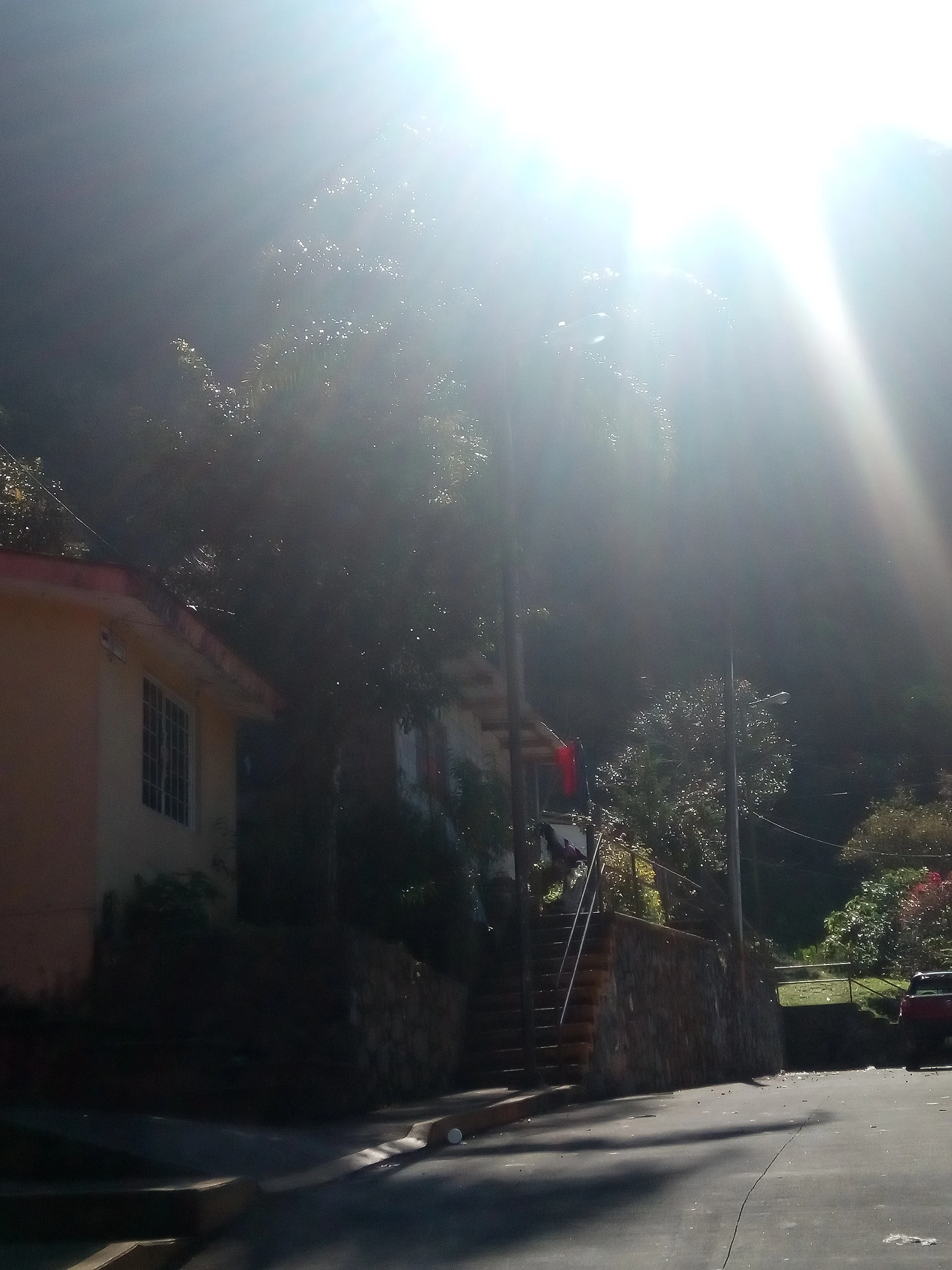
Village Ixtaczoquitlán, Veracruz Municipality of Ixtaczoquitlán Altas Montañas (Orizaba and Córdoba)
An industrial village of Ixtaczoquitlán at the foot of Cerro de Escamela, 5 km from Orizaba, where Morelos won a battle in 1812.
From Orizaba: 10 min by car (6 km by road) How to get there ↓
Near here
See everything nearby ↓


Plan your visit to Escamela
Where to stay near Escamela
Compare hotels, posadas and guest houses in Escamela.
Tours to Escamela
Day trips and guided outings from Orizaba often include Escamela; with a local guide you can get there without a car.
How to get to Escamela
- From Orizaba: about 10 min by road (~6 km)
- Nearest airport: Veracruz (VER), 1 h 42 min by car to Orizaba
Links open a partner site. We may earn a commission if you book, at no cost to you.
About Escamela
Escamela is a community in the municipality of Ixtaczoquitlán, on the edge of the Orizaba metropolitan area about 5 km from that city's centre along federal Highway 150. The name is usually read in Nahuatl as "land of ants" or "place of the ants", and it is shared with Cerro de Escamela, a 1,647 m hill between Orizaba and Ixtaczoquitlán that serves as a green lung for the valley.
The village has a place in the War of Independence. In 1812 the insurgents of José María Morelos defeated royalist troops under Brigadier Luis del Águila here, a fight that cleared the way for the capture of Orizaba later that year, and a parade still honours the local fighters every year. In December 1883 Escamela was made the municipal seat; the title then moved to Ixtaczoquitlán, to El Sumidero, and back to Ixtaczoquitlán for good in 1926. The earthquake of 28 August 1973 hit the community hard and brought down its church, Emperatriz de América.
Today Escamela is the busiest economic hub of the municipality. Strung along the Mexico City–Veracruz highway are paper plants such as Kimberly-Clark, a Holcim Apasco cement works and one of Pemex's most important fuel storage terminals in the state, while the surrounding ranches grow coffee, chayote and oranges. What draws visitors are the Arcos de Escamela, the rebuilt church and, above all, the hill. Hawks, opossums and armadillos still live on it, possible marine fossils have been reported in its caves, and its summit, looking over Orizaba city and the snow cone of Pico de Orizaba, is a popular walk; many people climb it on 1 January for an open-air New Year mass.
How to get to Escamela
Drive from Orizaba: 10 min, 6 km
From central Orizaba it is about 5 km and under 10 minutes east on Highway 150 (Avenida Oriente 6 and its extension, which becomes Boulevard Fernando Gutiérrez Barrios). From Córdoba it is about 21 km and 20 minutes on the 150D Córdoba–Puebla toll road to the Ixtaczoquitlán exit, then the same boulevard. Local vans and city buses running between Orizaba, Ixtaczoquitlán and Córdoba on the free road pass through the area, and ADO buses reach Orizaba from TAPO in Mexico City, CAPU in Puebla and the ADO terminal in the port of Veracruz. For the hill, go early and not alone.
Directions to Escamela on Google Maps
Distances are in a straight line; the road is usually longer.
Links open a partner site. We may earn a commission if you book, at no cost to you.
From the nearest cities to Escamela
Drive times by road from OpenStreetMap, without traffic or stops. Times marked ~ are estimated from the straight-line distance.
Visiting Escamela: what to see and do
The walk up 1,647 m Cerro de Escamela, with views of Orizaba and Pico de Orizaba.
The hill's caves, where possible marine fossils have been reported.
The Arcos de Escamela.
The Emperatriz de América church, rebuilt after the 1973 earthquake.
The yearly parade remembering the 1812 Battle of Escamela.
The coffee, chayote and orange ranches around the village.
Plan your trip
Places to stay in Escamela
Compare hotels, posadas, and rentals in and around Escamela.
Tours & activities
Day trips and guided outings from Orizaba often include Escamela; with a local guide you can get there without a car.
Rental cars
Pick up a car at VER (Veracruz): about 1 h 42 min by road to Orizaba, then 6 km more to Escamela, on your own schedule.
Flights
The nearest airport with scheduled flights is Veracruz (VER), about 1 h 42 min by road from Orizaba, the base for Escamela.
Mobile data
Signal can drop away from Orizaba: download a map of the way to Escamela before you set out, or carry an eSIM with data.
Links open a partner site. We may earn a commission if you book, at no cost to you.
When to go to Escamela mild
Escamela shares the climate of Orizaba, 6 km away. The best months to visit are February, March, April, and December.
See the month-by-month climate of Orizaba
Weather in Escamela now and the next 7 days
Live forecast from Open-Meteo. Chance of rain is the day's highest.
The closest Pueblo Mágico: Orizaba

Orizaba is the Pueblo Mágico closest to Escamela, with places to stay, food, and more to see.
Also close to
- Córdoba · Veracruz · 13 km away
- Coscomatepec · Veracruz · 24 km away
- Xico · Veracruz · 62 km away
- Coatepec · Veracruz · 67 km away
Closest to Escamela
-
Cascada El Elefante · Waterfall · 2 km away
-
Cuautlapan · Village · 4 km away
-
Campo Grande · Village · 6 km away
-
Cuapichapan · Village · 6 km away
-
Moyoapan · Village · 6 km away
-
Sumidero · Village · 6 km away
-
Barranca de Metlac · Viewpoint · 7 km away
-
Fortín de las Flores · Town · 7 km away


Near Escamela


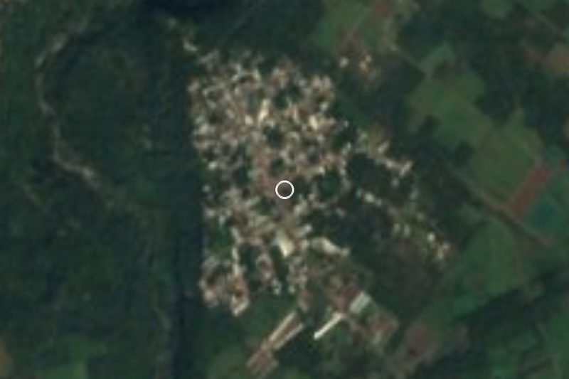


Drive times by road from OpenStreetMap, without traffic. Times marked ~ are estimated from the straight-line distance.
Location from OpenStreetMap. Written by Puebloteca.