


Nature reserve Huiloapan de Cuauhtémoc, Veracruz Altas Montañas (Orizaba and Córdoba)
A national park since 1938 around Orizaba, with pine-covered peaks, waterfalls on the Río Blanco, and trails above the valley.
From Orizaba: 20 min by car (13 km by road) How to get there ↓
Near here
See everything nearby ↓


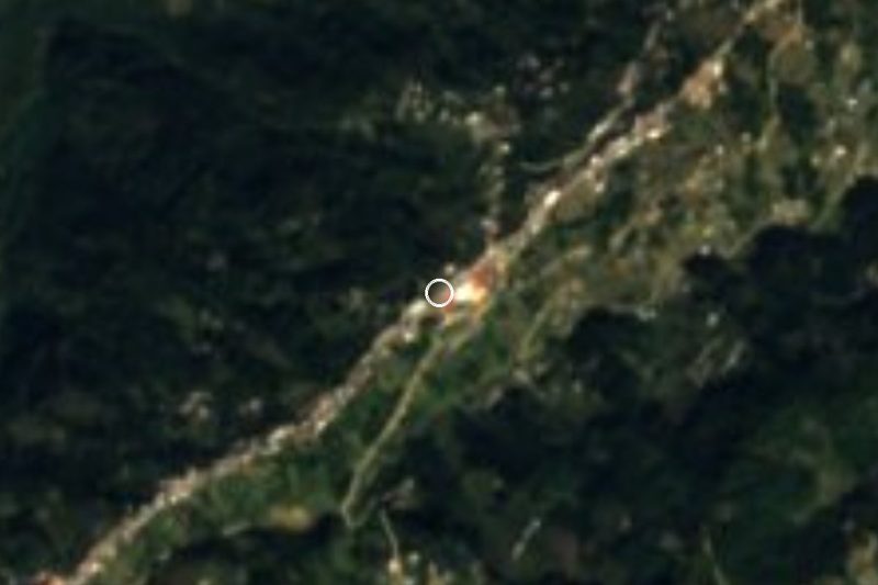
Plan your visit to Cañón del Río Blanco
Where to stay near Cañón del Río Blanco
Estacion Alameda Hotel · ★★★ · 3.5 km from the center Prices Tres79 Hotel Boutique Orizaba Hotel · ★★★ · 4.0 km from the center PricesTours to Cañón del Río Blanco
Day trips and guided outings from Orizaba often include Cañón del Río Blanco; with a local guide you can get there without a car.
How to get to Cañón del Río Blanco
- From Orizaba: about 20 min by road (~13 km)
- 4 km southwest of Orizaba
- Nearest airport: Veracruz (VER), 1 h 42 min by car to Orizaba
Links open a partner site. We may earn a commission if you book, at no cost to you.
About Cañón del Río Blanco
The Cañón del Río Blanco National Park wraps around Orizaba and its neighboring towns. It was created in March 1938 and covers close to 49,000 hectares of mountains in Veracruz and a corner of Puebla, from the Cumbres de Acultzingo in the west to the Metlac ravine in the east, at elevations from about 1,000 to over 3,000 meters.
The park takes its name from the Río Blanco, which runs down the valley past Ciudad Mendoza, Nogales, Río Blanco, Orizaba and Ixtaczoquitlán and forms many waterfalls along the way, including the Cascada El Elefante and the falls at Tuxpango, where the river feeds a hydroelectric plant. The slopes above the valley are covered in pine and oak forest, with cloud forest in the wetter ravines, and Mexico's biodiversity agency has recorded thousands of plant and animal species here.
Unlike many national parks, this one has towns and factories inside it, so it is less a single place than a collection of spots: canyons, springs, lookouts and trails that are easy to reach from Orizaba.
How to get to Cañón del Río Blanco
Drive from Orizaba: 20 min, 13 km
The park has no single entrance: its sights are spread along the valley within about 30 minutes of Orizaba by car or local bus, east toward Ixtaczoquitlán and west toward Nogales, Ciudad Mendoza and Acultzingo. Most spots are free or charge a small local fee.
4 km southwest of Orizaba
Directions from Orizaba on Google Maps
Distances are in a straight line; the road is usually longer.
Links open a partner site. We may earn a commission if you book, at no cost to you.
From the nearest cities to Cañón del Río Blanco
- Orizaba · 13 km by road, 20 min
- Córdoba · 33 km by road, 35 min
- Tehuacán · 78 km by road, 1 h 20 min
Drive times by road from OpenStreetMap, without traffic or stops. Times marked ~ are estimated from the straight-line distance.
Before you go to Cañón del Río Blanco: hours, prices and tips
- Best season
- In the rainy season the trail down into the canyon can get slippery; check the weather and trail conditions before you go. México Desconocido (Escapadas) · checked Oct 2026
- What to bring
- Comfortable shoes with good grip, plenty of water, sunscreen, insect repellent and a camera. The climb back up is the hard part, so come reasonably fit. México Desconocido (Escapadas) · checked Oct 2026
Hours and prices change, especially around holidays. Each fact links to where we checked it.
Visiting Cañón del Río Blanco: what to see and do
Walk down the 500 steps to the Cascada El Elefante and swim at Los Sifones.
Spend an afternoon at the spring-fed Laguna de Nogales.
Drive up to the Cumbres de Acultzingo for wide views over the mountains.
Hike the forested hills around the valley with a local guide.
Plan your trip
Places to stay in Cañón del Río Blanco
Estacion Alameda Hotel · ★★★ · 3.5 km from the center Find on Expedia Tres79 Hotel Boutique Orizaba Hotel · ★★★ · 4.0 km from the center Find on Expedia Hotel Posada Gandag Hotel · ★★★ · 4.1 km from the center Find on Expedia Gamma Orizaba Grand Hotel de France Hotel · ★★★ · 4.2 km from the center Find on Expedia Hotel Ha Hotel · ★★★ · 4.2 km from the center Find on Expedia Silmar Hotel Motel Hotel · ★★ · 2.4 km from the center Find on ExpediaTours & activities
Day trips and guided outings from Orizaba often include Cañón del Río Blanco; with a local guide you can get there without a car.
Rental cars
Pick up a car at VER (Veracruz): about 1 h 42 min by road to Orizaba, then 4 km more to Cañón del Río Blanco, on your own schedule.
Flights
The nearest airport with scheduled flights is Veracruz (VER), about 1 h 42 min by road from Orizaba, the base for Cañón del Río Blanco.
Travel insurance
If you plan on hiking at Cañón del Río Blanco, check that your policy covers it: some plans leave adventure activities out.
Mobile data
Signal can drop away from Orizaba: download a map of the way to Cañón del Río Blanco before you set out, or carry an eSIM with data.
Links open a partner site. We may earn a commission if you book, at no cost to you. Hotel names from OpenStreetMap.
Photos
When to go to Cañón del Río Blanco mild
Cañón del Río Blanco shares the climate of Orizaba, 4 km away. The best months to visit are February, March, April, and December.
See the month-by-month climate of Orizaba
Weather in Cañón del Río Blanco now and the next 7 days
Live forecast from Open-Meteo. Chance of rain is the day's highest.
Make Orizaba your base

Cañón del Río Blanco is an easy trip from Orizaba, a Pueblo Mágico with places to stay, food, and more to see.
Also close to
- Córdoba · Veracruz · 22 km away
- Coscomatepec · Veracruz · 30 km away
- Xico · Veracruz · 68 km away
- Coatepec · Veracruz · 73 km away
Closest to Cañón del Río Blanco
-
Laguna de Nogales · Lake · 4 km away
-
Ciudad Mendoza · Town · 6 km away
-
Cascada El Elefante · Waterfall · 7 km away
-
Escamela · Village · 9 km away · Veracruz
-
Magdalena · Town · 10 km away · Veracruz
-
Atzompa · Village · 12 km away · Veracruz
-
Campo Grande · Village · 12 km away · Veracruz
-
Huitzila · Village · 12 km away · Veracruz

Near Cañón del Río Blanco






Drive times by road from OpenStreetMap, without traffic. Times marked ~ are estimated from the straight-line distance.
Lists with Cañón del Río Blanco
Nature Parks in Veracruz · 6 Nature Parks near Coscomatepec · 4Something wrong or missing on this page? Suggest a fix or addition
Location from OpenStreetMap. Written by Puebloteca.