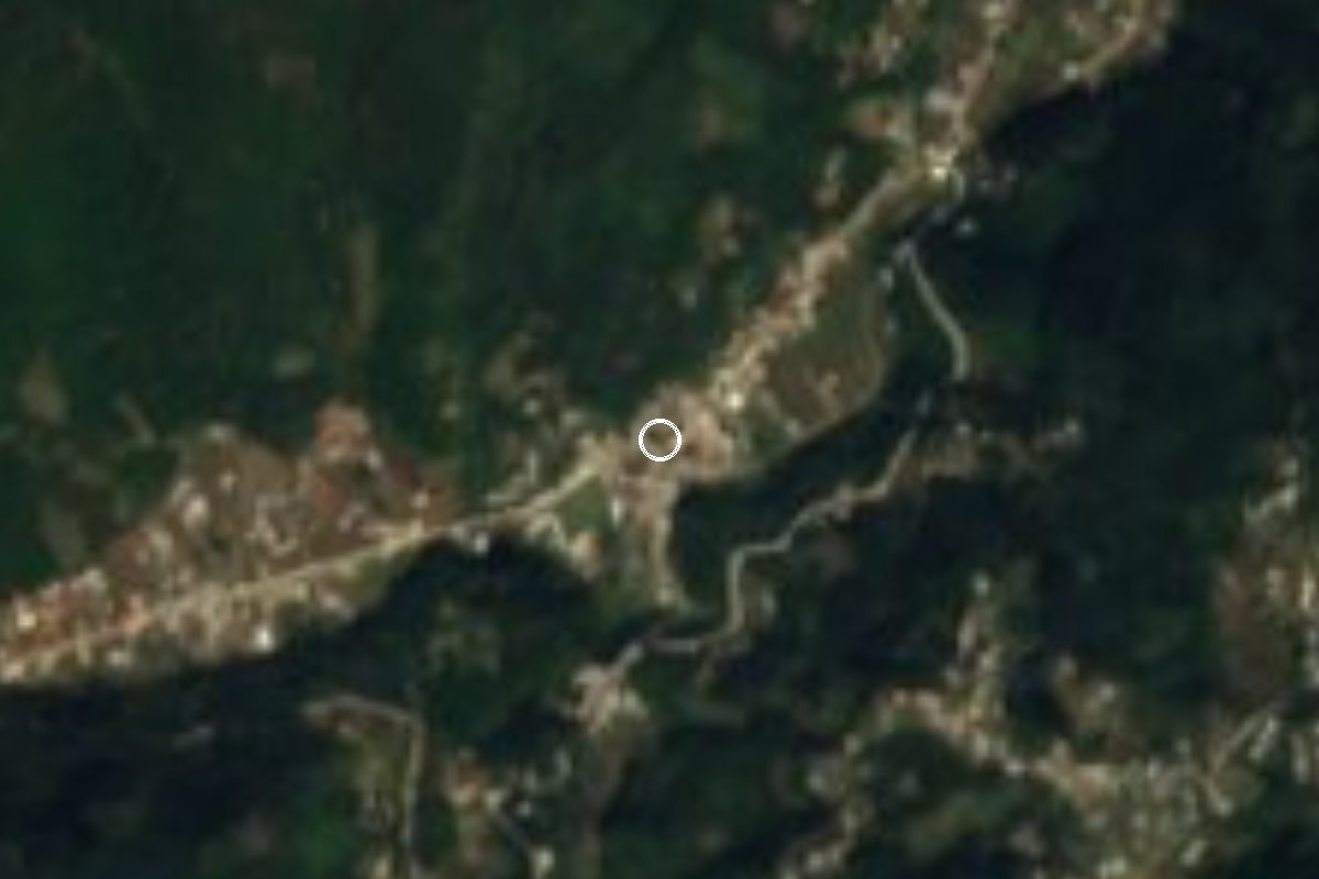
Village Atlahuilco, Veracruz Altas Montañas (Orizaba and Córdoba)
Nahua municipal seat in the Sierra de Zongolica, 1,760 m up by the Manzinga river; its November feast of San Martín is danced with tocotines and negritos.
From Orizaba: 30 min by car (24 km by road) How to get there ↓
Near here
See everything nearby ↓



Plan your visit to Atlahuilco
Where to stay near Atlahuilco
Compare hotels, posadas and guest houses in Atlahuilco.
Tours to Atlahuilco
Day trips and guided outings from Orizaba often include Atlahuilco; with a local guide you can get there without a car.
How to get to Atlahuilco
- From Orizaba: about 30 min by road (~24 km)
- Nearest airport: Veracruz (VER), 1 h 42 min by car to Orizaba
Links open a partner site. We may earn a commission if you book, at no cost to you.
About Atlahuilco
The name comes from Nahuatl and is usually translated as "in the clear" or "lit-up water". The local explanation is down to earth: the first settlers had no water nearby and had to fetch it from caves, lighting the way with pine torches or oil lamps. Atlahuilco is the seat of a small municipality of 62 km² in the foothills of the Sierra de Zongolica; the village, with 1,241 people in 2020, stands at 1,760 metres on the banks of the Manzinga river, ringed by peaks above 2,000 metres. This is Nahua country and Nahuatl is the everyday language.
In the 16th century the area was dominated by three towns, Zacamilulan (now Zacamilola), Quechulinco and Atlihuayan; San Martín Atlahuilco only appears in the records from the mid-18th century. By 1831 it was a municipality with a church and a chapel, in 1846 it gained its own lands, and in 1937 its boundary with Los Reyes was fixed. The climate is temperate with cold winters, and people raise pigs, sheep, goats and turkeys and grow maize, with some beans and fruit such as peaches, plums and apples.
The big date is the feast of Saint Martin (San Martín Caballero), 10 to 12 November, which draws people from neighbouring municipalities. Dancers perform the Tocotines, Moors and Christians and, at the steward's request, the Xochicolohke, also called negritos or panaderos, to sones played on guitar, violin, vihuela and double bass. When the flowers for the festive arch are carried in, musicians beat the ayotsi, a turtle shell used as a drum. The Holy Cross is celebrated on 3 May.
How to get to Atlahuilco
Drive from Orizaba: 30 min, 24 km
From Orizaba it is about 23 km, roughly 30 minutes: head south on Calle Sur 11 and Calzada San José to Federal Highway 123 (Orizaba–Zongolica), follow it about 15 km to Tequila, then take Avenida Lindavista and the road of about 4 km to Atlahuilco. From Tequila it is about 6 km, 7 minutes. The last stretch from Tequila has been described as a dirt road; ask in Tequila about its condition if you travel in the rainy season. Orizaba is where buses arrive (ADO, ADO GL, AU and others); there is no published service to Atlahuilco itself, so either hire a taxi or ask in Orizaba which local vehicles go up to Tequila.
Directions to Atlahuilco on Google Maps
Distances are in a straight line; the road is usually longer.
Links open a partner site. We may earn a commission if you book, at no cost to you.
From the nearest cities to Atlahuilco
- Orizaba · 24 km by road, 30 min
- Córdoba · 44 km by road, 45 min
- Tehuacán · 82 km by road, 1 h 30 min
Drive times by road from OpenStreetMap, without traffic or stops. Times marked ~ are estimated from the straight-line distance.
Visiting Atlahuilco: what to see and do
The feast of San Martín Caballero, 10 to 12 November, with Tocotines, Moors and Christians and Xochicolohke dances.
The ayotsi, the turtle-shell drum played when the flowers are carried in.
The Holy Cross, 3 May.
The Manzinga river at the edge of the village.
The Sierra de Zongolica peaks, over 2,000 metres, all around.
Plan your trip
Places to stay in Atlahuilco
Compare hotels, posadas, and rentals in and around Atlahuilco.
Tours & activities
Day trips and guided outings from Orizaba often include Atlahuilco; with a local guide you can get there without a car.
Rental cars
Pick up a car at VER (Veracruz): about 1 h 42 min by road to Orizaba, then 17 km more to Atlahuilco, on your own schedule.
Flights
The nearest airport with scheduled flights is Veracruz (VER), about 1 h 42 min by road from Orizaba, the base for Atlahuilco.
Mobile data
Signal can drop away from Orizaba: download a map of the way to Atlahuilco before you set out, or carry an eSIM with data.
Links open a partner site. We may earn a commission if you book, at no cost to you.
When to go to Atlahuilco mild
Atlahuilco shares the climate of Orizaba, 17 km away. The best months to visit are February, March, April, and December.
See the month-by-month climate of Orizaba
Weather in Atlahuilco now and the next 7 days
Live forecast from Open-Meteo. Chance of rain is the day's highest.
The closest Pueblo Mágico: Orizaba

Orizaba is the Pueblo Mágico closest to Atlahuilco, with places to stay, food, and more to see.
Also close to
- Córdoba · Veracruz · 27 km away
- Coscomatepec · Veracruz · 42 km away
- Huautla · Oaxaca · 68 km away
Closest to Atlahuilco
-
Xoxocotla · Village · 8 km away
-
Huitzila · Village · 9 km away
-
Magdalena · Town · 9 km away
-
Atzompa · Village · 10 km away
-
Zongolica · Town · 10 km away
-
Tuxpanguillo · Village · 13 km away
-
Cañón del Río Blanco · Nature reserve · 14 km away
-
Ciudad Mendoza · Town · 15 km away


Near Atlahuilco
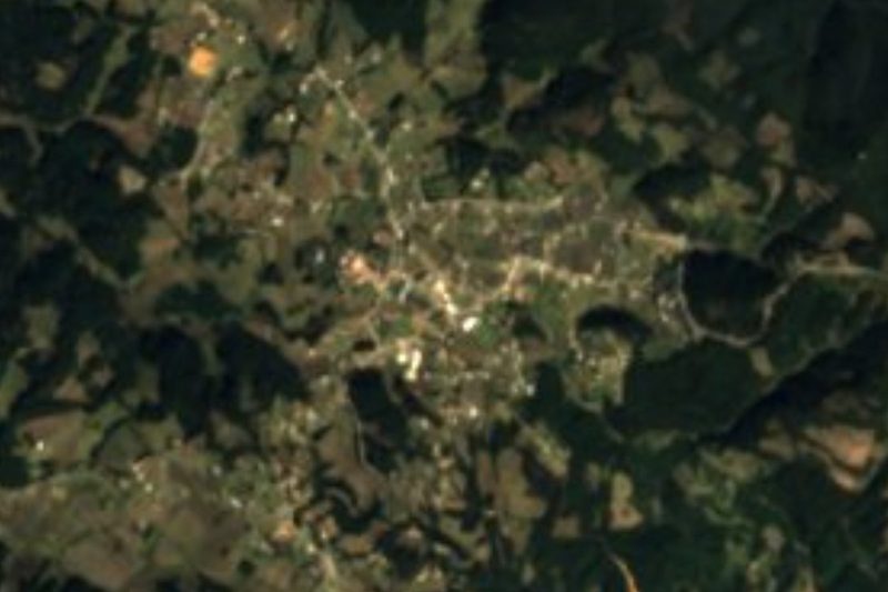


Drive times by road from OpenStreetMap, without traffic. Times marked ~ are estimated from the straight-line distance.
Location from OpenStreetMap. Written by Puebloteca.