

Village Ixtaczoquitlán, Veracruz Municipality of Ixtaczoquitlán Altas Montañas (Orizaba and Córdoba)
Nahua village of 3,900 south of Ixtaczoquitlán; San Sebastián feast on 20 January, with pole flyers on the 18th.
From Orizaba: 25 min by car (20 km by road) How to get there ↓
Near here
See everything nearby ↓


Plan your visit to Tuxpanguillo
Where to stay near Tuxpanguillo
Compare hotels, posadas and guest houses in Tuxpanguillo.
Tours to Tuxpanguillo
Day trips and guided outings from Orizaba often include Tuxpanguillo; with a local guide you can get there without a car.
How to get to Tuxpanguillo
- From Orizaba: about 25 min by road (~20 km)
- Nearest airport: Veracruz (VER), 1 h 42 min by car to Orizaba
Links open a partner site. We may earn a commission if you book, at no cost to you.
About Tuxpanguillo
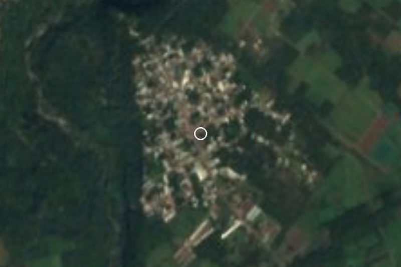
Tuxpanguillo is the fourth-largest community in the municipality of Ixtaczoquitlán, with 3,884 people in 2020. It lies at about 797 metres, 8 km south-southeast of the municipal seat, in the valley south of the municipal seat, between Orizaba and Córdoba. It is a Nahua community that still counts Nahuatl as its own language.
The name is an affectionate diminutive of neighbouring Tuxpango, from Tuchpanco, "at the banner of the rabbits"; some locals translate it instead as "village of eels". Around 1831 it was a ranch belonging to the municipality of Santa María Zoquitlán, and an 1832 survey lists it as Tuspanguillo. It has grown ever since: 480 inhabitants in 1900, 2,218 in 1970.
Village life revolves around the church of San Sebastián, one of the most visited in the municipality. The patron feast of Saint Sebastian the Martyr on 20 January turns into a fair, and two days earlier, on the 18th, the Papantla pole flyers (voladores) perform. The calendar continues with the Niño Doctor (20 April), San Isidro (15 May), Santa Cecilia (22 November) and, in December, the Virgin of Juquila on the 8th, with the Moors and Negritos dance, and Guadalupe on the 12th. Local cooking means chilcaldo, mole and tamales, and feast days bring decorations made from cucharilla (desert spoon) leaves and legume seeds. People from here are tuxpanguillenses, and the Tuxpanguillo stream shares the name.
How to get to Tuxpanguillo
Drive from Orizaba: 25 min, 20 km
From Orizaba it is about 21 km and 26 minutes: leave east on Highway 150 (Avenida Oriente 6 and Boulevard Fernando Gutiérrez Barrios), take the road to the Tuxpango valley, cross the Tuxpango ridge and drop down Calzada de Tláloc into the village. From the Ixtaczoquitlán municipal seat it is about 16 km, roughly 21 minutes, by the same valley road. From Córdoba it is about 26 km and half an hour: Highway 150 to Fortín, the road to Villa Unión, then Zapoapan and Cuesta del Mexicano. Long-distance buses stop at the Orizaba and Córdoba terminals; we found no published combi routes or timetables for the last leg, so ask locally in Orizaba or take a taxi.
Directions to Tuxpanguillo on Google Maps
Distances are in a straight line; the road is usually longer.
Links open a partner site. We may earn a commission if you book, at no cost to you.
From the nearest cities to Tuxpanguillo
- Orizaba · 20 km by road, 25 min
- Córdoba · 25 km by road, 30 min
- Tehuacán · 88 km by road, 1 h 25 min
Drive times by road from OpenStreetMap, without traffic or stops. Times marked ~ are estimated from the straight-line distance.
Before you go to Tuxpanguillo: hours, prices and tips
- Best time of day
- 20 January for the San Sebastián fair; the pole flyers perform on 18 January. Diccionario Enciclopédico Veracruzano (UV) · checked Oct 2026
Hours and prices change, especially around holidays. Each fact links to where we checked it.
Visiting Tuxpanguillo: what to see and do
The church of San Sebastián at the heart of the village.
The Saint Sebastian fair on 20 January.
The Papantla pole flyers every 18 January.
The Moors and Negritos dance at the Virgin of Juquila feast on 8 December.
Feast decorations made from cucharilla leaves and seeds.
Chilcaldo, the village's home-style chilli broth.
Plan your trip
Places to stay in Tuxpanguillo
Compare hotels, posadas, and rentals in and around Tuxpanguillo.
Tours & activities
Day trips and guided outings from Orizaba often include Tuxpanguillo; with a local guide you can get there without a car.
Rental cars
Pick up a car at VER (Veracruz): about 1 h 42 min by road to Orizaba, then 12 km more to Tuxpanguillo, on your own schedule.
Flights
The nearest airport with scheduled flights is Veracruz (VER), about 1 h 42 min by road from Orizaba, the base for Tuxpanguillo.
Mobile data
Signal can drop away from Orizaba: download a map of the way to Tuxpanguillo before you set out, or carry an eSIM with data.
Links open a partner site. We may earn a commission if you book, at no cost to you.
When to go to Tuxpanguillo mild
Tuxpanguillo shares the climate of Orizaba, 12 km away. The best months to visit are February, March, April, and December.
See the month-by-month climate of Orizaba
Weather in Tuxpanguillo now and the next 7 days
Live forecast from Open-Meteo. Chance of rain is the day's highest.
The closest Pueblo Mágico: Orizaba

Orizaba is the Pueblo Mágico closest to Tuxpanguillo, with places to stay, food, and more to see.
Also close to
- Córdoba · Veracruz · 15 km away
- Coscomatepec · Veracruz · 33 km away
- Xico · Veracruz · 71 km away
- Huautla · Oaxaca · 74 km away
- Coatepec · Veracruz · 75 km away
Closest to Tuxpanguillo
-
Cuesta del Mexicano · Village · 4 km away
-
Magdalena · Town · 4 km away
-
Campo Grande · Village · 5 km away
-
Naranjal · Village · 6 km away
-
Sótano de Popocatl · Cave · 7 km away
-
Cascada El Elefante · Waterfall · 9 km away
-
Coetzapotitla · Village · 9 km away
-
Villa Unión · Village · 9 km away


Near Tuxpanguillo




Drive times by road from OpenStreetMap, without traffic. Times marked ~ are estimated from the straight-line distance.
Location from OpenStreetMap. Written by Puebloteca.