

Village Naranjal, Veracruz Altas Montañas (Orizaba and Córdoba)
Coffee-growing municipal seat at 740 m, 10 km south of Córdoba by the Río Blanco; church of San Cristóbal and patron feast in July.
From Córdoba: 15 min by car (13 km by road) How to get there ↓
Near here
See everything nearby ↓


Plan your visit to Naranjal
Where to stay near Naranjal
Compare hotels, posadas and guest houses in Naranjal.
Tours to Naranjal
Day trips and guided outings from Córdoba often include Naranjal; with a local guide you can get there without a car.
How to get to Naranjal
- From Córdoba: about 15 min by road (~13 km)
- Nearest airport: Veracruz (VER), 1 h 25 min by car to Córdoba
Links open a partner site. We may earn a commission if you book, at no cost to you.
About Naranjal
Naranjal, seat of the municipality of the same name, lies just 10 km south of Córdoba at about 740 metres, on the south bank of the Río Blanco. The name means "orange grove", but coffee is what really grows here: it covers around 80% of the municipality's farmland, ahead of bananas (10%) and oranges (7%). The municipal coat of arms sums it up with the motto "Fertile and fruitful land".
For its size, the place has a long administrative history. It had its first town council in 1814; on 28 March 1831 it became a municipality under the name San Cristóbal Naranjal, within the canton of Orizaba, and on 15 January 1918 it became a free municipality. The town had 2,261 inhabitants in 2010 and is the only urban locality among the municipality's twelve, where more than 70% of people identify as of Indigenous ancestry and almost a fifth as of African ancestry.
The centre is anchored by the church of San Cristóbal, with a yellow façade trimmed in red and a single-stage bell tower facing a tree-lined forecourt; the town hall and the market are close by. In July the town celebrates its patron, Saint Christopher. On the outskirts, overgrown with vegetation, stand the remains of the old bridge that once linked Naranjal with Córdoba. The climate is mild and humid, averaging 21 °C, with very heavy rain in summer and early autumn; the Blanco and Popocatl rivers run through the municipality.
How to get to Naranjal
Drive from Córdoba: 15 min, 13 km
From central Córdoba it is about 13 km, some 15 minutes, on the Córdoba–Naranjal state road, which heads south, crosses the Río Blanco and enters the town. From Orizaba it is about 25 km, roughly half an hour, on Federal Highway 150 and local roads through Tuxpango and Villa Unión. Long-distance travellers arrive first at Córdoba's bus station, a city with connections to Mexico City, Puebla and Veracruz, and continue by local transport or taxi; the last leg is short.
Directions to Naranjal on Google Maps
Distances are in a straight line; the road is usually longer.
Links open a partner site. We may earn a commission if you book, at no cost to you.
From the nearest cities to Naranjal
- Córdoba · 13 km by road, 15 min
- Orizaba · 24 km by road, 30 min
- Tehuacán · 92 km by road, 1 h 30 min
Drive times by road from OpenStreetMap, without traffic or stops. Times marked ~ are estimated from the straight-line distance.
Visiting Naranjal: what to see and do
The church of San Cristóbal with its yellow and red façade.
The patron feast of Saint Christopher in July.
The market and town hall in the centre.
The remains of the old bridge to Córdoba.
The coffee and banana plantations around the town.
The Río Blanco along the municipality's northern edge.
Plan your trip
Places to stay in Naranjal
Compare hotels, posadas, and rentals in and around Naranjal.
Tours & activities
Day trips and guided outings from Córdoba often include Naranjal; with a local guide you can get there without a car.
Rental cars
Pick up a car at VER (Veracruz): about 1 h 25 min by road to Córdoba, then 10 km more to Naranjal, on your own schedule.
Flights
The nearest airport with scheduled flights is Veracruz (VER), about 1 h 25 min by road from Córdoba, the base for Naranjal.
Mobile data
Signal can drop away from Córdoba: download a map of the way to Naranjal before you set out, or carry an eSIM with data.
Links open a partner site. We may earn a commission if you book, at no cost to you.
When to go to Naranjal mild
Naranjal shares the climate of Córdoba, 10 km away. The best months to visit are February, March, April, and December.
See the month-by-month climate of Córdoba
Weather in Naranjal now and the next 7 days
Live forecast from Open-Meteo. Chance of rain is the day's highest.
The closest Pueblo Mágico: Córdoba

Córdoba is the Pueblo Mágico closest to Naranjal, with places to stay, food, and more to see.
Also close to
- Orizaba · Veracruz · 16 km away
- Coscomatepec · Veracruz · 30 km away
- Xico · Veracruz · 67 km away
- Coatepec · Veracruz · 71 km away
- Huautla · Oaxaca · 77 km away
Closest to Naranjal
-
Cuesta del Mexicano · Village · 3 km away
-
Campo Grande · Village · 5 km away
-
Villa Unión · Village · 5 km away
-
Sótano de Popocatl · Cave · 6 km away
-
Tuxpanguillo · Village · 6 km away
-
Coetzapotitla · Village · 7 km away
-
Cuapichapan · Village · 7 km away
-
Peñuela · Village · 9 km away


Near Naranjal


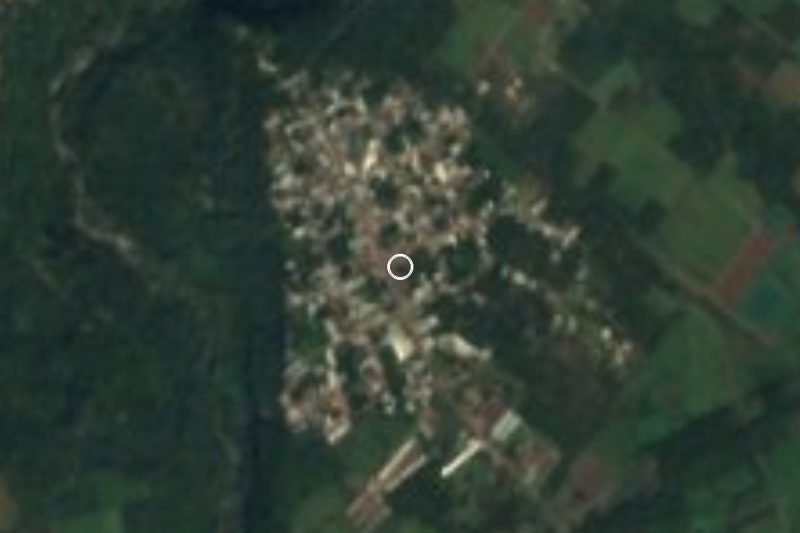


Drive times by road from OpenStreetMap, without traffic. Times marked ~ are estimated from the straight-line distance.
Location from OpenStreetMap. Written by Puebloteca.