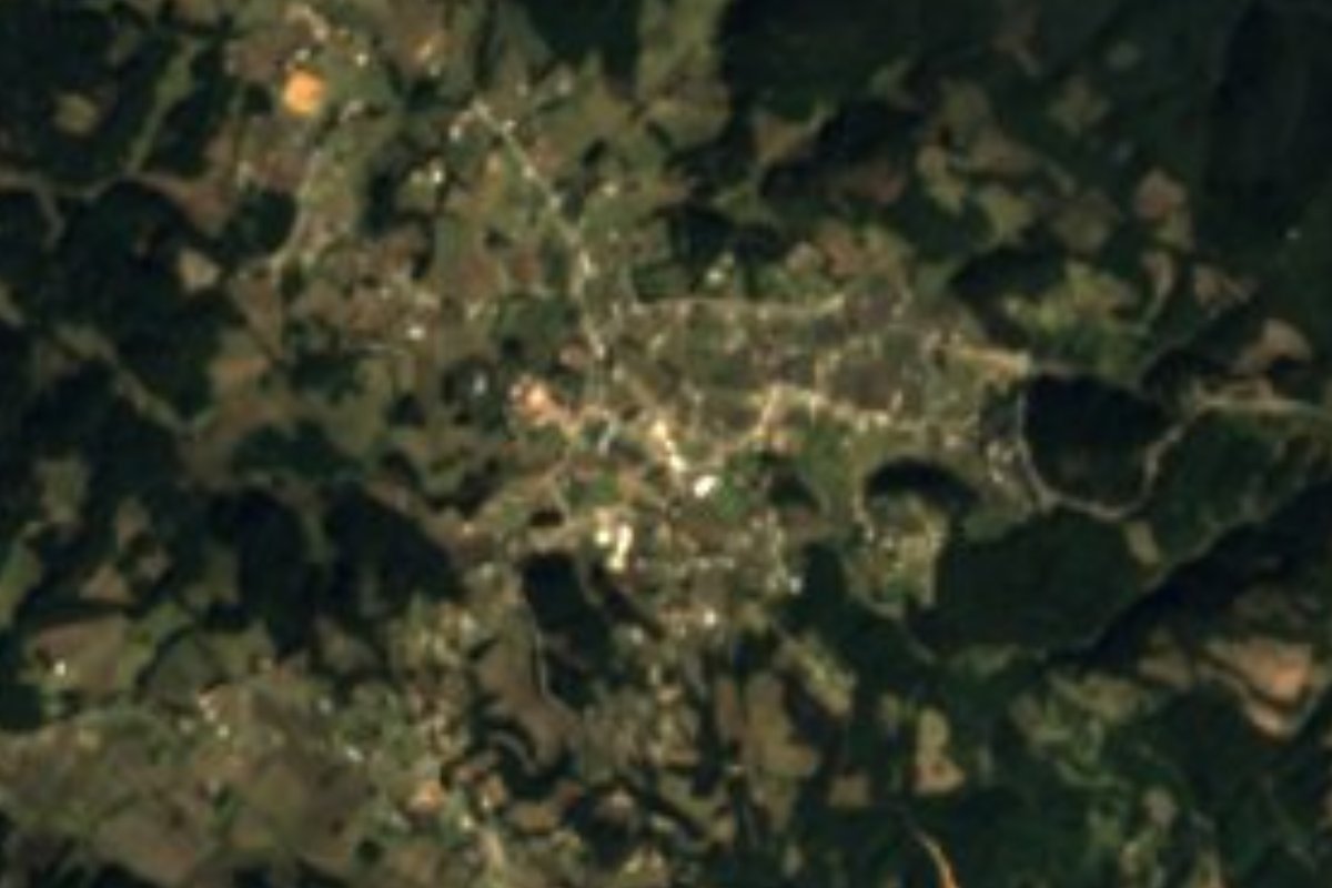
Village Vicente Guerrero, Puebla Tehuacán Valley
Mountain village of Vicente Guerrero, "where there is water", at 2,663 m below Cerro Zacatepec, 9 km from Santa María del Monte.
From Orizaba: 55 min by car (47 km by road) How to get there ↓
Near here
See everything nearby ↓


Plan your visit to Alhuaca
Where to stay near Alhuaca
Compare hotels, posadas and guest houses in Alhuaca.
Tours to Alhuaca
Day trips and guided outings from Orizaba often include Alhuaca; with a local guide you can get there without a car.
How to get to Alhuaca
- From Orizaba: about 55 min by road (~47 km)
- Nearest airport: Veracruz (VER), 1 h 42 min by car to Orizaba
Links open a partner site. We may earn a commission if you book, at no cost to you.
About Alhuaca
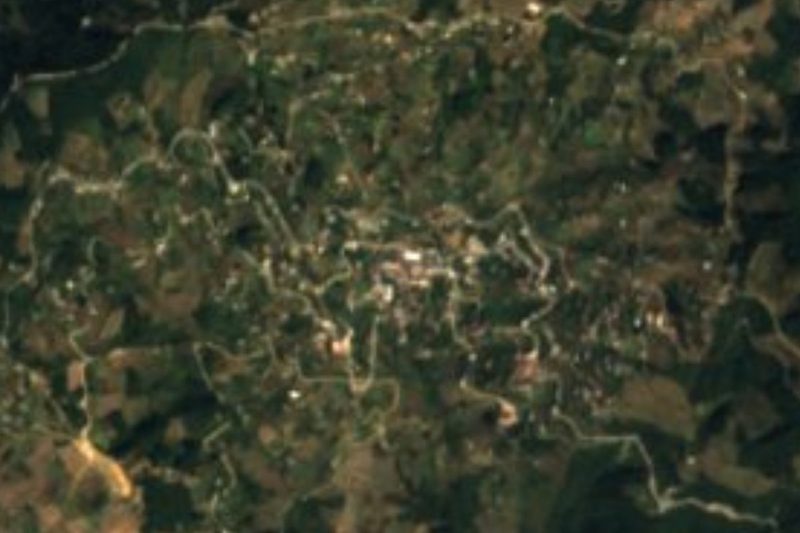
Just above the village, a little over a kilometre to the northeast, Cerro Zacatepec reaches 2,897 m. Alhuaca sits on the slope at 2,663 m, in the cool mountains of southeastern Puebla between Tehuacán and Orizaba. Its Nahuatl name joins atl, water, hua, possessive, and can, locative: "where there is water". In 2020 it had 1,891 residents, 1,014 women and 877 men, up from 1,655 in 2005, and it is the fourth most populous of the 57 localities in Vicente Guerrero municipality, whose seat is Santa María del Monte, about 5 km in a straight line to the southwest.
The climate is wet mountain weather: the annual mean barely reaches 12 °C, January is the coldest month and rainfall tops 1,100 mm, concentrated in June and the summer months. Four fifths of the municipality has a temperate subhumid climate, and forest covers almost 40% of the land, with farming on just over half. Water drains to the Papaloapan basin through rivers such as the Atoyac, Apatlahuaya, Tlaxitla and Xoxocotla, and the municipality has two permanent lakes, Laguna Chica and Laguna Grande. Other hills ring the village, such as Cerro Bola (2,829 m) to the east and Xocotegua (2,739 m) to the west.
About a fifth of residents identify as Indigenous; Nahuatl and Zapotec are spoken in the municipality. Services have improved: piped water reached 72% of homes in 2020, up from 43% in 2010, though only 5.5% had internet and four in ten households a mobile phone. There is no lodging in Alhuaca; the nearest hotels are in Santa María del Monte, about 8 km away, where most eateries are too. The town has the 16th-century parish church dedicated to the Virgin Mary. The local craft is palm and reed weaving, and municipal cooking includes mole de caderas or de espinazo, totopos, tlaxcales and chileatole, with peach, tejocote and apple preserves, atole, chocolate, aguardiente and mezcal.
How to get to Alhuaca
Drive from Orizaba: 55 min, 47 km
From Santa María del Monte, the municipal seat, it is 9 km by road, about 10 minutes. From Tehuacán it is about 60 km and roughly an hour via federal 150 and state road PUE 726. From Puebla city, about 152 km and around 2 h 15 min: highway 150D, PUE 714, federal 144 and PUE 726. Orizaba is 32 km in a straight line. By bus, ADO and Autobuses Unidos run from Puebla's CAPU to Tehuacán in about 2 hours; beyond that we found no line with a published timetable to Santa María del Monte or Alhuaca, so a car is the surest option, or ask about local transport in Tehuacán.
Directions to Alhuaca on Google Maps
Distances are in a straight line; the road is usually longer.
Links open a partner site. We may earn a commission if you book, at no cost to you.
From the nearest cities to Alhuaca
- Orizaba · 47 km by road, 55 min
- Tehuacán · 61 km by road, 1 h 5 min
- Córdoba · 67 km by road, 1 h 10 min
Drive times by road from OpenStreetMap, without traffic or stops. Times marked ~ are estimated from the straight-line distance.
Visiting Alhuaca: what to see and do
Cerro Zacatepec (2,897 m), 1.1 km northeast.
The forests and hills around the village, such as Bola and Xocotegua.
The 16th-century parish church of the Virgin Mary in Santa María del Monte.
Laguna Chica and Laguna Grande, in the municipality.
Plan your trip
Places to stay in Alhuaca
Compare hotels, posadas, and rentals in and around Alhuaca.
Tours & activities
Day trips and guided outings from Orizaba often include Alhuaca; with a local guide you can get there without a car.
Rental cars
Pick up a car at VER (Veracruz): about 1 h 42 min by road to Orizaba, then 32 km more to Alhuaca, on your own schedule.
Flights
The nearest airport with scheduled flights is Veracruz (VER), about 1 h 42 min by road from Orizaba, the base for Alhuaca.
Mobile data
Signal can drop away from Orizaba: download a map of the way to Alhuaca before you set out, or carry an eSIM with data.
Links open a partner site. We may earn a commission if you book, at no cost to you.
When to go to Alhuaca mild
Alhuaca shares the climate of Orizaba, 32 km away. The best months to visit are February, March, April, and December.
See the month-by-month climate of Orizaba
Weather in Alhuaca now and the next 7 days
Live forecast from Open-Meteo. Chance of rain is the day's highest.
The closest Pueblo Mágico: Orizaba

Orizaba is the Pueblo Mágico closest to Alhuaca, with places to stay, food, and more to see.
Also close to
- Córdoba · Veracruz · 44 km away
- Coscomatepec · Veracruz · 58 km away
- Huautla · Oaxaca · 59 km away
Closest to Alhuaca
-
Xoxocotla · Village · 9 km away
-
Otzelotzi · Mountain · 10 km away
-
Atlahuilco · Village · 16 km away
-
Huitzila · Village · 17 km away
-
Atzompa · Village · 18 km away
-
Zongolica · Town · 21 km away
-
Acultzingo · Town · 22 km away
-
Chichicapa · Village · 22 km away


Near Alhuaca




Drive times by road from OpenStreetMap, without traffic. Times marked ~ are estimated from the straight-line distance.
Location from OpenStreetMap. Written by Puebloteca.