
Town Chapulco, Puebla Tehuacán Valley
Former Popoloca lordship on the slope that closes the Tehuacán valley to the east, by Cerro Chapoltzin and the Veracruz line.
From Tehuacán: 20 min by car (20 km by road) How to get there ↓
Near here
See everything nearby ↓

Plan your visit to Chapulco
Where to stay near Chapulco
Compare hotels, posadas and guest houses in Chapulco.
Tours to Chapulco
Day trips around Orizaba sometimes stop in Chapulco; a tour is the easy way to see it without a car.
 Tours from Puebla City
Africam Safari Zoo Admission with Transportation
★ 4.8 (87) · From US$35
How to get to Chapulco
- From Tehuacán: about 20 min by road (~20 km)
- Nearest airport: Veracruz (VER), 1 h 42 min by car to Orizaba
Links open a partner site. We may earn a commission if you book, at no cost to you.
Tours from Puebla City, near Chapulco


Tours, prices and ratings from Viator, checked weekly. We may earn a commission if you book.
About Chapulco
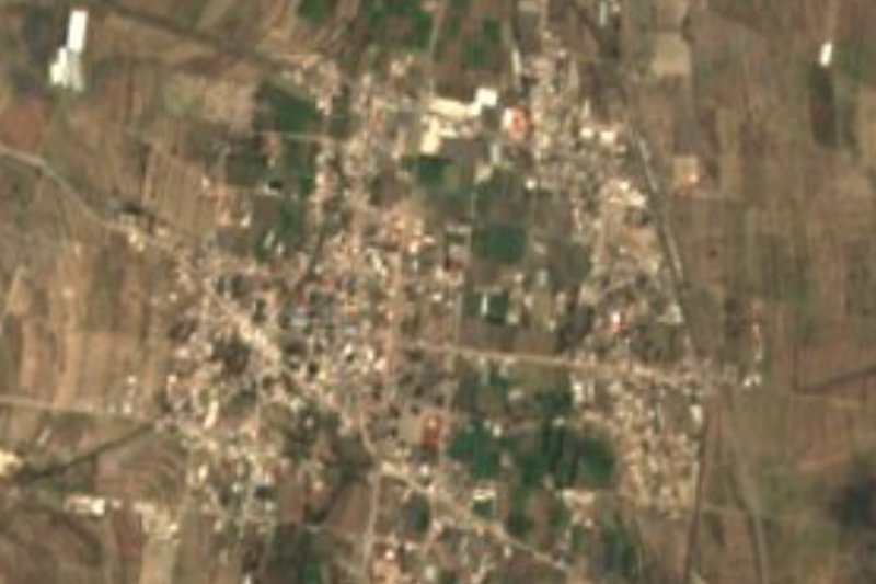
Chapulco clings to the slope that closes the Tehuacán valley to the east and has been a municipal seat since the 19th century. The place name is Nahuatl, from chapollin, grasshopper, and co, place; the town takes it from Cerro Chapoltzin, the hill beside it. It had 6,536 people in 2020 and stands at about 1,990 m.
Before the Conquest it was a Popoloca lordship, which came under Spanish rule in 1522. In the 16th century it was granted in encomienda to Esteban de Carbajal and the following year passed to the Crown. In 1837 the Puebla departmental council made it a municipality of the Tehuacán district, and in 1895 the municipality of Nicolás Bravo was carved out of its territory.
The municipality, about 147 km², lies on the western slope of the Sierra Madre Oriental, the range that closes the Tehuacán valley to the east. The land rises from about 2,000 m to 2,500 m toward the north-east, where one of its high points, Cerro Macho, stands. Many streams rise here, belonging to the Papaloapan basin and feeding the Tehuacán canal. It borders Cañada Morelos, Nicolás Bravo, Santiago Miahuatlán, Tepanco de López and, at its north-eastern tip, Acultzingo in Veracruz.
How to get to Chapulco
Drive from Tehuacán: 20 min, 20 km
Chapulco lies north-east of Tehuacán, about 18 km in a straight line, roughly 25 minutes by car. ADO and Autobuses Unidos buses from Puebla's CAPU terminal take about two hours to Tehuacán; from there continue by car. Orizaba in Veracruz is about 41 km away, and Puebla city about 96 km in a straight line.
Directions to Chapulco on Google Maps
Distances are in a straight line; the road is usually longer.
Links open a partner site. We may earn a commission if you book, at no cost to you.
From the nearest cities to Chapulco
Drive times by road from OpenStreetMap, without traffic or stops. Times marked ~ are estimated from the straight-line distance.
Visiting Chapulco: what to see and do
Cerro Chapoltzin, which gives the town its name.
The slope of the Sierra Madre Oriental above the Tehuacán valley.
Cerro Macho, one of the municipality's high points.
Pair it with Tehuacán, about 18 km away.
Plan your trip
Places to stay in Chapulco
Compare hotels, posadas, and rentals in and around Chapulco.
Tours & activities
Day trips around Orizaba sometimes stop in Chapulco; a tour is the easy way to see it without a car.
Rental cars
Pick up a car at VER (Veracruz): about 1 h 42 min by road to Orizaba, then 41 km more to Chapulco, on your own schedule.
Flights
The nearest airport with scheduled flights is Veracruz (VER), about 1 h 42 min by road from Orizaba, the base for Chapulco.
Mobile data
Signal can drop away from Orizaba: download a map of the way to Chapulco before you set out, or carry an eSIM with data.
Links open a partner site. We may earn a commission if you book, at no cost to you.
When to go to Chapulco mild
Chapulco shares the climate of Orizaba, 41 km away. The best months to visit are February, March, April, and December.
See the month-by-month climate of Orizaba
Weather in Chapulco now and the next 7 days
Live forecast from Open-Meteo. Chance of rain is the day's highest.
The closest Pueblo Mágico: Orizaba

Orizaba is the Pueblo Mágico closest to Chapulco, with places to stay, food, and more to see.
Also close to
- Córdoba · Veracruz · 59 km away
- Coscomatepec · Veracruz · 63 km away
- Huautla · Oaxaca · 80 km away
Closest to Chapulco
-
Azumbilla · Village · 3 km away
-
Santiago Miahuatlán · Village · 8 km away
-
Magdalena Cuayucatepec · Town · 11 km away
-
San José Ixtapa · Village · 12 km away
-
Morelos Cañada · Village · 13 km away
-
Acultzingo · Town · 16 km away
-
Otzelotzi · Mountain · 16 km away
-
San Luis Temalacayuca · Village · 16 km away


Near Chapulco


Drive times by road from OpenStreetMap, without traffic. Times marked ~ are estimated from the straight-line distance.
Location from OpenStreetMap. Written by Puebloteca.