

Village Tepanco de López, Puebla Municipality of Tepanco de López Tehuacán Valley
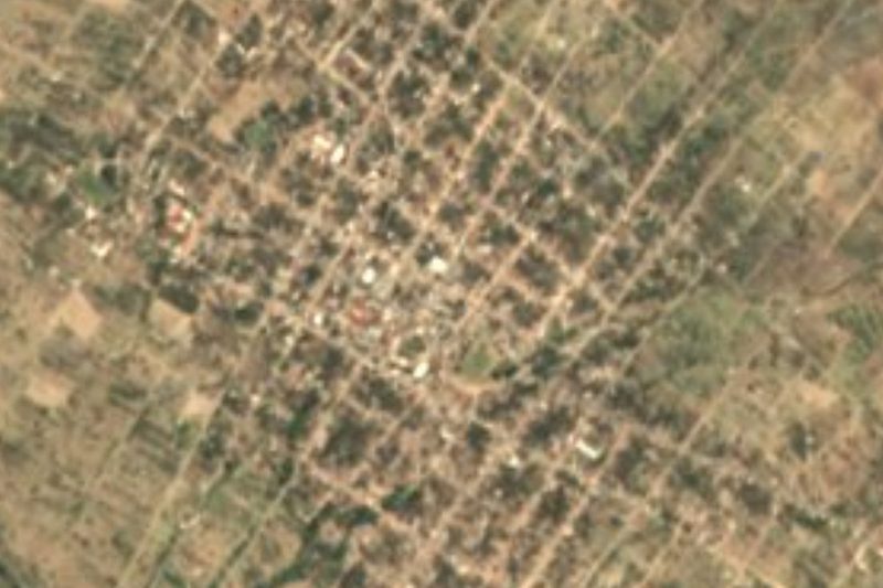
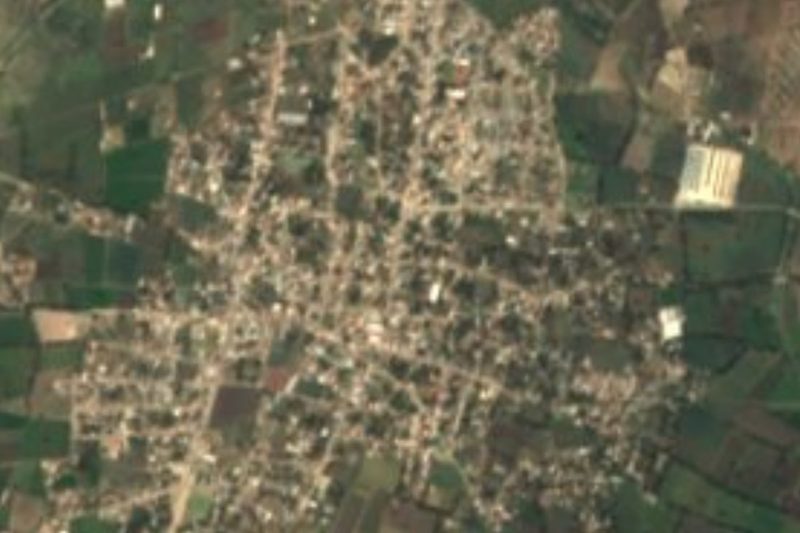
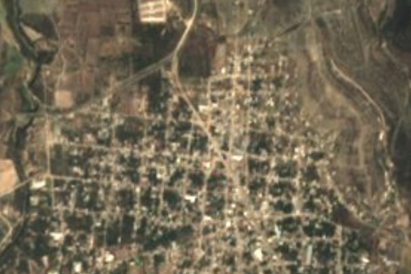
Popoloca village in the north-western Tehuacán valley, "place full of spindle whorls", with a church of San Luis Obispo from around 1604.
From Tehuacán: 35 min by car (27 km by road) How to get there ↓
Near here
See everything nearby ↓


Plan your visit to San Luis Temalacayuca
Where to stay near San Luis Temalacayuca
Compare hotels, posadas and guest houses in San Luis Temalacayuca.
Tours to San Luis Temalacayuca
Day trips and guided outings from Orizaba often include San Luis Temalacayuca; with a local guide you can get there without a car.
 Tours from Puebla City
Africam Safari Zoo Admission with Transportation
★ 4.8 (87) · From US$35
How to get to San Luis Temalacayuca
- From Tehuacán: about 35 min by road (~27 km)
- Nearest airport: Veracruz (VER), 1 h 42 min by car to Orizaba
Links open a partner site. We may earn a commission if you book, at no cost to you.
Tours from Puebla City, near San Luis Temalacayuca


Tours, prices and ratings from Viator, checked weekly. We may earn a commission if you book.
About San Luis Temalacayuca
San Luis Temalacayuca is a junta auxiliar of the municipality of Tepanco de López, on the north-western side of the Tehuacán valley. It stands at about 1,880 m and had 2,695 people in 2020. Its Nahuatl name, Temalacayocan, means "place full of spindle whorls or stone wheels", and in Ngiwa, the Popoloca language, it is Taann Cuchi. The malacates were round sandstone discs used to spin cotton and also in a ceremonial combat; there were said to be a great many here.
It borders Pazoltepec, in the municipality of Tlacotepec de Benito Juárez, to the north-west, and Tepanco de López, the municipal seat, to the south-east. Farming is the mainstay, with maize, beans and wheat, though plots are small and soils poor; guaje pods, prickly pears and other plants round out the diet, and a few goats, pigs, turkeys and chickens are raised. Women weave palm mats, which they trade for maize or sell to middlemen, and many men work as labourers or migrate to Mexico City and the United States.
The church of San Luis Obispo de Tolosa was built around 1604 and is one of the oldest in the region, in Franciscan style. The municipality of Tepanco takes the name López in honour of the liberal guerrilla José María "El Güero" López, born here, who distinguished himself in Oaxaca during the French Intervention.
How to get to San Luis Temalacayuca
Drive from Tehuacán: 35 min, 27 km
San Luis Temalacayuca lies in the municipality of Tepanco de López, north-west of Tehuacán, about 24 km in a straight line, roughly 30 minutes by car. Tehuacán is about 2 hours by bus from Puebla's CAPU terminal (ADO and Autobuses Unidos). Puebla city is about 84 km away in a straight line.
Directions to San Luis Temalacayuca on Google Maps
Distances are in a straight line; the road is usually longer.
Links open a partner site. We may earn a commission if you book, at no cost to you.
From the nearest cities to San Luis Temalacayuca
- Tehuacán · 27 km by road, 35 min
- Orizaba · 83 km by road, 1 h 30 min
- Puebla · 106 km by road, 1 h 40 min
Drive times by road from OpenStreetMap, without traffic or stops. Times marked ~ are estimated from the straight-line distance.
Visiting San Luis Temalacayuca: what to see and do
The church of San Luis Obispo de Tolosa, from around 1604.
The palm mats woven by the village women.
The landscape of the north-western Tehuacán valley.
Pair it with Tehuacán, about 24 km away.
Plan your trip
Places to stay in San Luis Temalacayuca
Compare hotels, posadas, and rentals in and around San Luis Temalacayuca.
Tours & activities
Day trips and guided outings from Orizaba often include San Luis Temalacayuca; with a local guide you can get there without a car.
Rental cars
Pick up a car at VER (Veracruz): about 1 h 42 min by road to Orizaba, then 55 km more to San Luis Temalacayuca, on your own schedule.
Flights
The nearest airport with scheduled flights is Veracruz (VER), about 1 h 42 min by road from Orizaba, the base for San Luis Temalacayuca.
Mobile data
Signal can drop away from Orizaba: download a map of the way to San Luis Temalacayuca before you set out, or carry an eSIM with data.
Links open a partner site. We may earn a commission if you book, at no cost to you.
When to go to San Luis Temalacayuca mild
San Luis Temalacayuca shares the climate of Orizaba, 55 km away. The best months to visit are February, March, April, and December.
See the month-by-month climate of Orizaba
Weather in San Luis Temalacayuca now and the next 7 days
Live forecast from Open-Meteo. Chance of rain is the day's highest.
The closest Pueblo Mágico: Orizaba

Orizaba is the Pueblo Mágico closest to San Luis Temalacayuca, with places to stay, food, and more to see.
Also close to
- Córdoba · Veracruz · 73 km away
- Coscomatepec · Veracruz · 75 km away
Closest to San Luis Temalacayuca
-
Tepanco de López · Village · 5 km away
-
San Marcos Tlacoyalco · Village · 9 km away
-
Magdalena Cuayucatepec · Town · 10 km away
-
Santa María la Alta · Village · 10 km away
-
San Bartolo Teontepec · Village · 13 km away
-
Santiago Miahuatlán · Village · 13 km away
-
Tlacotepec de Benito Juárez · Village · 14 km away
-
Chapulco · Town · 16 km away


Near San Luis Temalacayuca
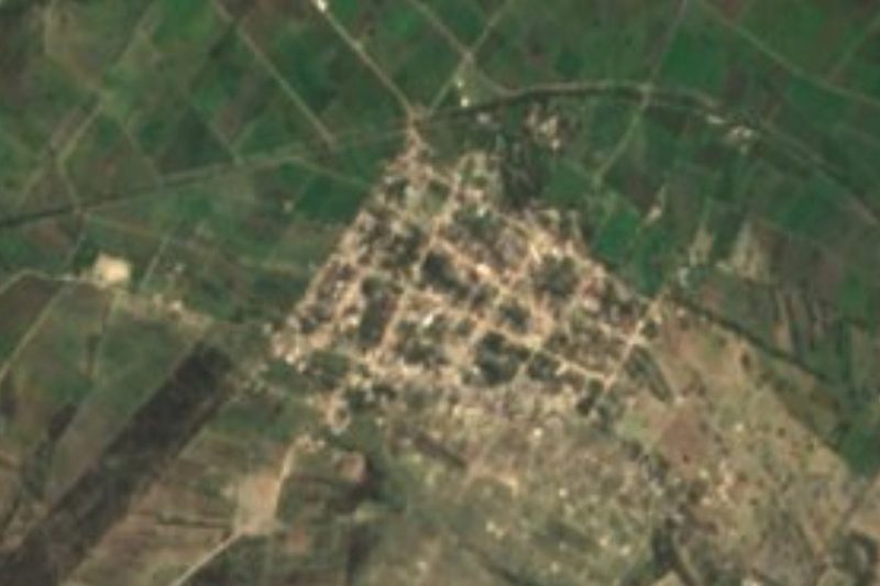
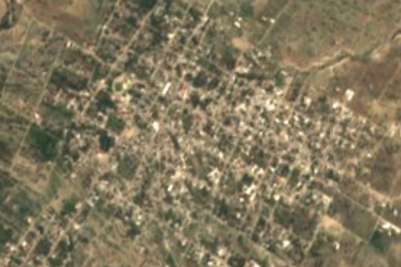


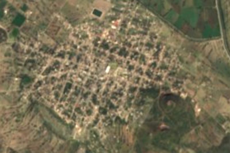
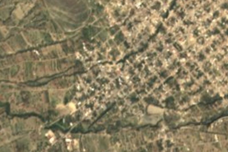


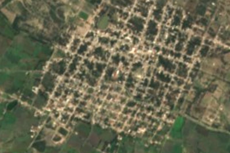

Drive times by road from OpenStreetMap, without traffic. Times marked ~ are estimated from the straight-line distance.
Location from OpenStreetMap. Written by Puebloteca.