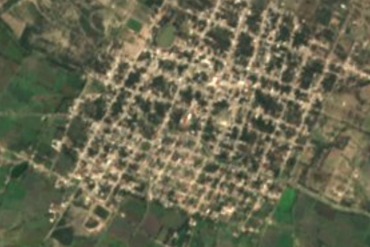
Village Xochitlán Todos Santos, Puebla Mixteca Poblana
"Place among the flowers", an irrigated farming town south of Tecamachalco, with a 17th-century Assumption parish and old Jesuit haciendas.
From Tehuacán: 1 h by car (55 km by road) How to get there ↓
Near here
See everything nearby ↓


Plan your visit to Xochitlán Todos Santos
Where to stay near Xochitlán Todos Santos
Compare hotels, posadas and guest houses in Xochitlán Todos Santos.
Tours to Xochitlán Todos Santos
Day trips and guided outings from Ixtenco often include Xochitlán Todos Santos; with a local guide you can get there without a car.
 Tours from Puebla City
Africam Safari Zoo Admission with Transportation
★ 4.8 (87) · From US$35
How to get to Xochitlán Todos Santos
- From Tehuacán: about 1 h by road (~55 km)
- Nearest airport: Puebla (PBC), 1 h 16 min by car to Ixtenco
Links open a partner site. We may earn a commission if you book, at no cost to you.
Tours from Puebla City, near Xochitlán Todos Santos


Tours, prices and ratings from Viator, checked weekly. We may earn a commission if you book.
About Xochitlán Todos Santos
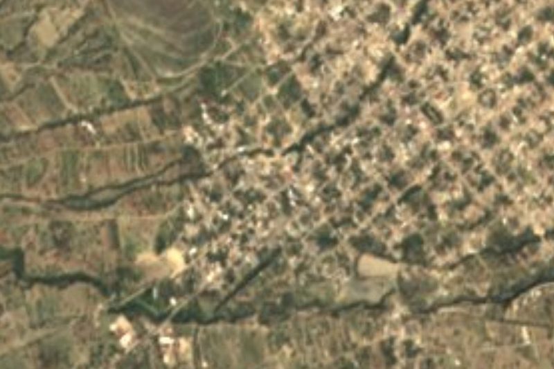
At the main entrance of the chapel of the old San Jerónimo Alfaro hacienda, founded by the Jesuits and dedicated to Saint Rosalia, is the mouth of a tunnel that, as people in town tell it, ran all the way to Tecamachalco and was last used during the Revolution. The chapel has a black-stone façade carved with saints and angels. It is one of the corners of Xochitlán Todos Santos, whose Nahuatl name, from xochitl, flower, and tlan, among, translates as "place among the flowers". The town had 5,975 people in 2020 and sits at about 1,900 m in the farming valley of east-central Puebla, some 59 km in a straight line from the capital and 49 km from Tehuacán.
It was founded by Olmec-Xicalanca groups; before the Spanish conquest it answered to Tepeaca, which in turn paid tribute to Mexico-Tenochtitlan. Later it belonged to the Tecamachalco district, and in 1895 it became a free municipality, now almost 164 km², bordering Tochtepec, Tecamachalco, Huitziltepec, Molcaxac, Juan N. Méndez, Tepexi de Rodríguez, Yehualtepec and Tlacotepec de Benito Juárez. The 17th-century parish church of the Assumption, part of the Diocese of Tehuacán, dominates the centre; south of town lies the Aranzazú hacienda.
Water is shared carefully here: several irrigation canals cross the municipality from north-east to south-east, run by the Emiliano Zapata irrigation unit, which makes sure each farmer pays his quota and keeps the channels maintained. Streams feed small ponds called jagüeyes, such as Jagüey Chiquito, El Arroyo, Los Santiagos, Plan Juárez and Los Moros, and drinking water comes from wells and the Cuesta del Toro dam. More than half the land is farmed, with maize, beans, alfalfa and sorghum, and the rest is scrub; cattle and pigs are the main livestock. The climate is mild and dry, 14 to 18 °C with only 600 to 800 mm of rain. People weave palm and saw building planks, and the kitchen serves mole poblano, pipián and tamales, with atole, chocolate and aguardiente.
How to get to Xochitlán Todos Santos
Drive from Tehuacán: 1 h, 55 km
The usual link is Tecamachalco, about 20 km north in a straight line. Autobuses Valles leaves Puebla's CAPU for Tecamachalco every 10 minutes, taking about 55 minutes. From Tecamachalco, Ruta 19 runs to Xochitlán and on to Tlacotepec de Benito Juárez. Three roads reach the town: from Tecamachalco, from Tlacotepec and from Dolores Hidalgo. In town there is a taxi rank and two mototaxi stands.
Directions to Xochitlán Todos Santos on Google Maps
Distances are in a straight line; the road is usually longer.
Links open a partner site. We may earn a commission if you book, at no cost to you.
From the nearest cities to Xochitlán Todos Santos
- Tehuacán · 55 km by road, 1 h
- Puebla · 75 km by road, 1 h 25 min
- Huamantla · 105 km by road, 1 h 40 min
Drive times by road from OpenStreetMap, without traffic or stops. Times marked ~ are estimated from the straight-line distance.
Visiting Xochitlán Todos Santos: what to see and do
The 17th-century parish church of the Assumption.
The chapel of Santa Rosalía at the former San Jerónimo Alfaro hacienda, with its black-stone façade.
The Aranzazú hacienda, south of town.
The irrigation canals and jagüey ponds.
The Cuesta del Toro dam.
Plan your trip
Places to stay in Xochitlán Todos Santos
Compare hotels, posadas, and rentals in and around Xochitlán Todos Santos.
Tours & activities
Day trips and guided outings from Ixtenco often include Xochitlán Todos Santos; with a local guide you can get there without a car.
Rental cars
Pick up a car at PBC (Puebla): about 1 h 16 min by road to Ixtenco, then 63 km more to Xochitlán Todos Santos, on your own schedule.
Flights
The nearest airport with scheduled flights is Puebla (PBC), about 1 h 16 min by road from Ixtenco, the base for Xochitlán Todos Santos.
Mobile data
Signal can drop away from Ixtenco: download a map of the way to Xochitlán Todos Santos before you set out, or carry an eSIM with data.
Links open a partner site. We may earn a commission if you book, at no cost to you.
When to go to Xochitlán Todos Santos cool
Xochitlán Todos Santos shares the climate of Ixtenco, 63 km away. The best months to visit are February, March, November, and December.
See the month-by-month climate of Ixtenco
Weather in Xochitlán Todos Santos now and the next 7 days
Live forecast from Open-Meteo. Chance of rain is the day's highest.
The closest Pueblo Mágico: Ixtenco

Ixtenco is the Pueblo Mágico closest to Xochitlán Todos Santos, with places to stay, food, and more to see.
Also close to
Closest to Xochitlán Todos Santos
-
Tepazolco · Village · 8 km away
-
San Gabriel Tetzoyocan · Village · 10 km away
-
Santa Cruz Huitziltepec · Village · 11 km away
-
San Andrés Mimiahuapan · Village · 12 km away
-
Santa Clara Huitziltepec · Village · 13 km away
-
Tlacotepec de Benito Juárez · Village · 13 km away
-
San Miguel Zozutla · Village · 14 km away
-
Molcaxac · Village · 15 km away
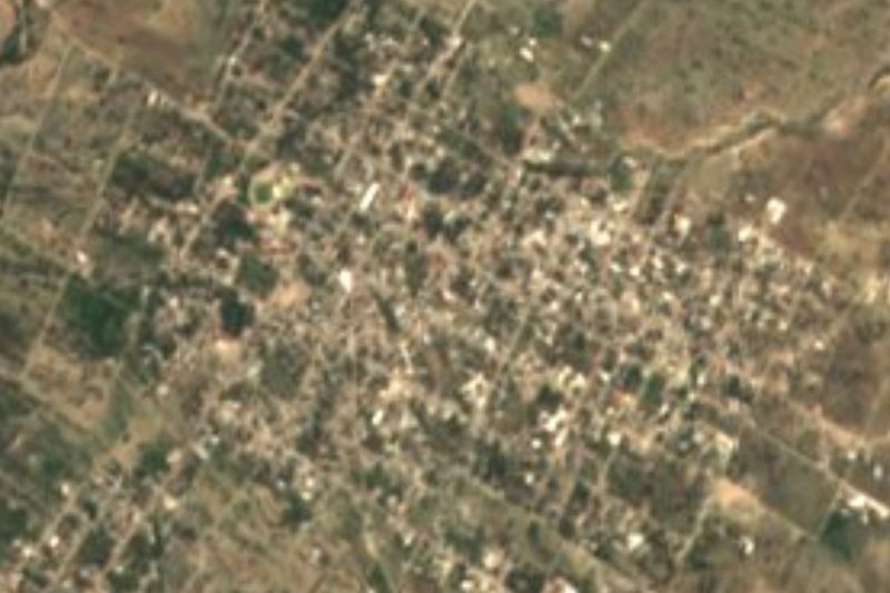
Near Xochitlán Todos Santos






Drive times by road from OpenStreetMap, without traffic. Times marked ~ are estimated from the straight-line distance.
Location from OpenStreetMap. Written by Puebloteca.