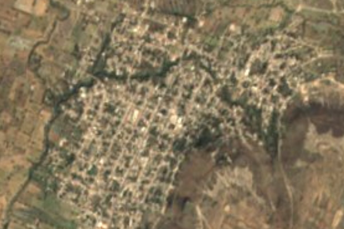
Village Tecamachalco, Puebla Municipality of Tecamachalco
Tecamachalco's largest community after the city itself: 11,824 people below Cerro del Águila and its pre-Hispanic eagle figure in white tepetate.
From Puebla: 1 h by car (57 km by road) How to get there ↓
Near here
See everything nearby ↓

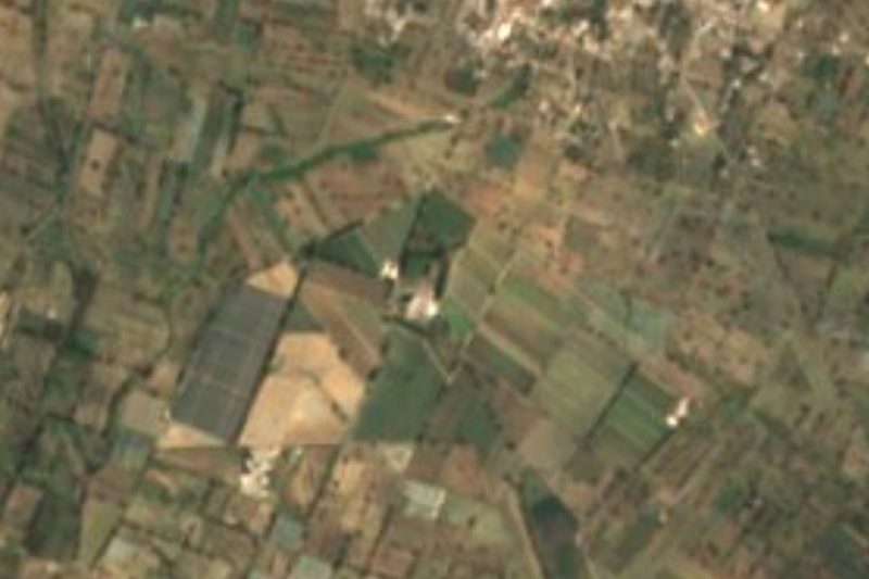
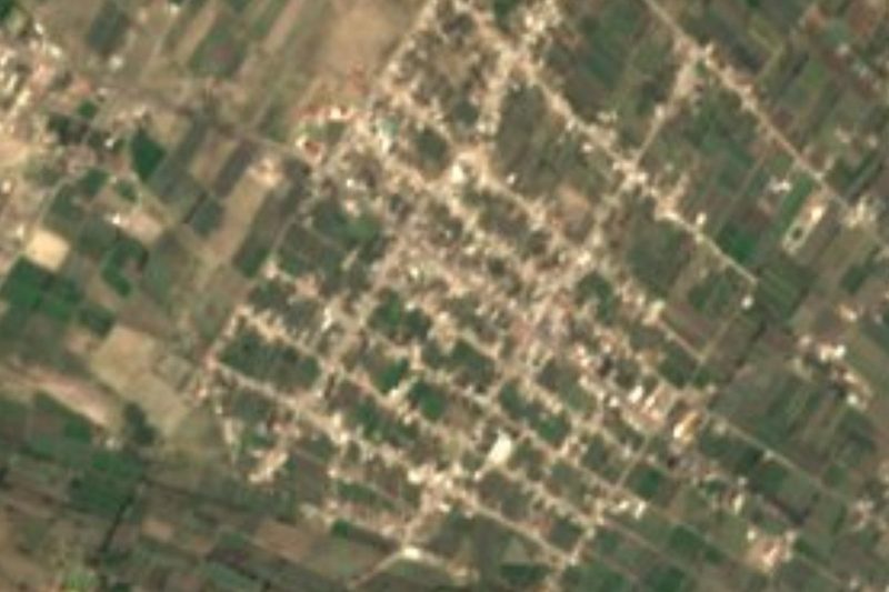


Plan your visit to San Mateo Tlaixpan
Where to stay near San Mateo Tlaixpan
Compare hotels, posadas and guest houses in San Mateo Tlaixpan.
Tours to San Mateo Tlaixpan
Day trips and guided outings from Ixtenco often include San Mateo Tlaixpan; with a local guide you can get there without a car.
 Tours from Puebla City
Africam Safari Zoo Admission with Transportation
★ 4.8 (87) · From US$35
How to get to San Mateo Tlaixpan
- From Puebla: about 1 h by road (~57 km)
- Nearest airport: Puebla (PBC), 1 h 16 min by car to Ixtenco
Links open a partner site. We may earn a commission if you book, at no cost to you.
Tours from Puebla City, near San Mateo Tlaixpan


Tours, prices and ratings from Viator, checked weekly. We may earn a commission if you book.
About San Mateo Tlaixpan
Behind the city of Tecamachalco, on the hill that rises north of San Mateo Tlaixpan, you can make out the outline of an eagle drawn on white tepetate by the peoples who lived here before the Conquest; that is why it is called Cerro del Águila, though its name is Cuautepec. Between that hill and Techachales, the two that enclose the city and Tlaixpan, lies the cave of King Cuetzpa. With 11,824 residents in 2020, Tlaixpan is one of the municipality's most important communities, along with Santiago Alseseca and Santa Rosa, and sits at about 2,058 metres, right next to the municipal seat.
Tecamachalco means "at the stone jaw", after the jaw-shaped hill where its first settlers lived. According to municipal history, Popoloca groups founded it in 1441; it lived under Tepeaca, Tlacotepec and the Mexica, and after the Conquest the Franciscans built its convent. That convent holds a rarity: 28 medallions painted in 1562 by Juan Gerson, an Indigenous painter, on the vault beneath the choir loft, showing Old Testament and Apocalypse scenes taken from European engravings; they are signed and dated murals, unique in sixteenth-century Mexico. In the atrium of the nearby church of San Sebastián, bulls were fought in 1568 and 1585.
The municipality covers about 218 km² and borders Quecholac, Palmar de Bravo, Xochitlán Todos Santos, Yehualtepec, San Salvador Huixcolotla and Tochtepec. Irrigation shapes the landscape: the main canal of Irrigation District 30, Valle de Valsequillo, runs through here, which is headquartered here and makes Tecamachalco the only municipality in the state with a federal irrigation district, along with smaller canals such as Tochtepec, Águila, Arenal, El Muerto and San Nicolás, which continue south toward the Tehuacán valley. That is why more than 60% of the land is farmed even though rain is scarce, 500 to 700 mm a year, with averages of 14 to 18 °C. Weaving, woodwork and palm craft are practised in the area, and on August 15 the municipal seat celebrates the Assumption with a mole fair.
How to get to San Mateo Tlaixpan
Drive from Puebla: 1 h, 57 km
Tlaixpan adjoins the city of Tecamachalco, about 50 km in a straight line southeast of Puebla; by road the municipal seat is roughly 65 km from the state capital. Take the Puebla–Tehuacán federal road or the Mexico–Veracruz highway with the Tecamachalco exit; from town it is a short hop to the village.
Directions to San Mateo Tlaixpan on Google Maps
Distances are in a straight line; the road is usually longer.
Links open a partner site. We may earn a commission if you book, at no cost to you.
From the nearest cities to San Mateo Tlaixpan
- Puebla · 57 km by road, 1 h
- Tehuacán · 80 km by road, 1 h 5 min
- Huamantla · 66 km by road, 1 h 10 min
Drive times by road from OpenStreetMap, without traffic or stops. Times marked ~ are estimated from the straight-line distance.
Visiting San Mateo Tlaixpan: what to see and do
Cerro del Águila (Cuautepec) and its eagle figure in white tepetate, north of the village.
The cave of King Cuetzpa, between Cuautepec and Techachales hills.
Tecamachalco's Franciscan former convent and Juan Gerson's medallions (1562).
The church of San Sebastián Mártir and the Asunción parish church.
Plan your trip
Places to stay in San Mateo Tlaixpan
Compare hotels, posadas, and rentals in and around San Mateo Tlaixpan.
Tours & activities
Day trips and guided outings from Ixtenco often include San Mateo Tlaixpan; with a local guide you can get there without a car.
Rental cars
Pick up a car at PBC (Puebla): about 1 h 16 min by road to Ixtenco, then 43 km more to San Mateo Tlaixpan, on your own schedule.
Flights
The nearest airport with scheduled flights is Puebla (PBC), about 1 h 16 min by road from Ixtenco, the base for San Mateo Tlaixpan.
Mobile data
Signal can drop away from Ixtenco: download a map of the way to San Mateo Tlaixpan before you set out, or carry an eSIM with data.
Links open a partner site. We may earn a commission if you book, at no cost to you.
When to go to San Mateo Tlaixpan cool
San Mateo Tlaixpan shares the climate of Ixtenco, 43 km away. The best months to visit are February, March, November, and December.
See the month-by-month climate of Ixtenco
Weather in San Mateo Tlaixpan now and the next 7 days
Live forecast from Open-Meteo. Chance of rain is the day's highest.
The closest Pueblo Mágico: Ixtenco

Ixtenco is the Pueblo Mágico closest to San Mateo Tlaixpan, with places to stay, food, and more to see.
Also close to
- Huamantla · Tlaxcala · 48 km away
- Cholula · Puebla · 62 km away
- Orizaba · Veracruz · 67 km away
- Atlixco · Puebla · 73 km away
- Coscomatepec · Veracruz · 75 km away
Closest to San Mateo Tlaixpan
-
Tecamachalco · City · 3 km away
-
San Salvador Huixcolotla · Town · 4 km away
-
Ex-Hacienda el Carmen · Village · 5 km away
-
San José Tuzuapan · Village · 8 km away
-
Santiago Alseseca · Town · 8 km away
-
Acatzingo de Hidalgo · Town · 9 km away
-
Cuapiaxtla de Madero · Town · 9 km away
-
Quecholac · Village · 9 km away
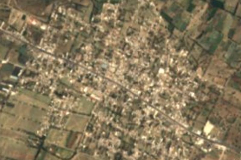

Near San Mateo Tlaixpan



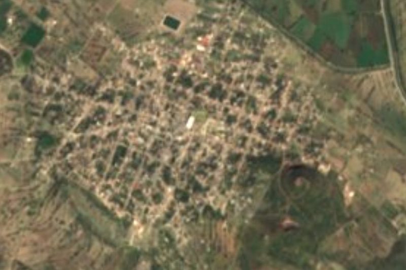

Drive times by road from OpenStreetMap, without traffic. Times marked ~ are estimated from the straight-line distance.
Location from OpenStreetMap. Written by Puebloteca.