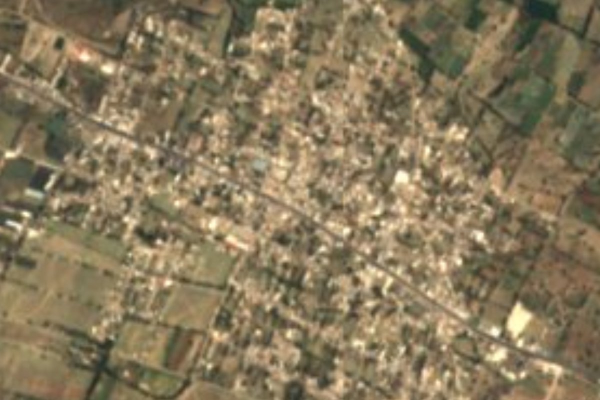
Town Cuapiaxtla de Madero, Puebla
Farming seat in the middle of the Tepeaca valley, with a 16th-century Santa Catarina parish church and a patron fiesta on 25 November.
From Puebla: 45 min by car (50 km by road) How to get there ↓
Near here
See everything nearby ↓



Plan your visit to Cuapiaxtla de Madero
Where to stay near Cuapiaxtla de Madero
Compare hotels, posadas and guest houses in Cuapiaxtla de Madero.
Tours to Cuapiaxtla de Madero
Day trips around Ixtenco sometimes stop in Cuapiaxtla de Madero; a tour is the easy way to see it without a car.
How to get to Cuapiaxtla de Madero
- From Puebla: about 45 min by road (~50 km)
- Nearest airport: Puebla (PBC), 1 h 16 min by car to Ixtenco
Links open a partner site. We may earn a commission if you book, at no cost to you.
About Cuapiaxtla de Madero
Cuapiaxtla de Madero lives off irrigation. The town sits in the middle of the Tepeaca valley, a plain of limestone soils that also holds marble deposits, and the main Valsequillo canal, one of the key channels of the valley's irrigation system, runs through the municipality. Nearly all the land is farmed. The seat has grown quickly, from 1,072 people in 1900 to 3,300 in 1980 and 8,241 at the 2020 census.
The name comes from Nahuatl and translates as "where there are many tall trees". It was a Nahua town within the domain of Tepeaca; by 1522 it was under Spanish control, and at the end of the colonial period it belonged to the Tepeaca district. It became a separate municipality by decree on 30 September 1935, adding "de Madero" in honour of Francisco I. Madero.
In the centre stands the parish church of Santa Catarina, built in the 16th century. Her feast on 25 November brings Masses, processions, fireworks towers, brass bands and the Tecuanis and Doce Pares de Francia dances. Around the town are old hacienda and ranch buildings with colonial façades: Santa Catarina La Noria, Torija and San Mauricio.
Household crafts include palm and reed weaving, knitting, crochet, tatting (frivolité), beadwork and bread-dough flowers. For food, the municipal profile lists mole de caderas y espinazo, tlaxcales, chileatole and pit-roasted barbacoa, plus peach, tejocote and apple preserves. About 3 km away is Miguel Negrete, an auxiliary town of the same municipality.
How to get to Cuapiaxtla de Madero
Drive from Puebla: 45 min, 50 km
From the city of Puebla, take the 150D Puebla-Orizaba toll road and leave it at the Tepeaca exit (via Gorozpe); go through Tepeaca and follow federal highway 150 (Puebla-Tehuacán) about 10 km to Cuapiaxtla. That is about 50 km and 50 minutes. From Ixtenco, Tlaxcala, the nearest pueblo mágico, it is about 64 km and 55 minutes via road 136, the 140D Puebla-Xalapa toll road and then the 150D and federal 150. By public transport, the practical option is a bus from Puebla's CAPU towards Tepeaca or Tecamachalco along federal 150, getting off at Cuapiaxtla or continuing by local transport from Tepeaca.
Directions to Cuapiaxtla de Madero on Google Maps
Distances are in a straight line; the road is usually longer.
Links open a partner site. We may earn a commission if you book, at no cost to you.
From the nearest cities to Cuapiaxtla de Madero
Drive times by road from OpenStreetMap, without traffic or stops. Times marked ~ are estimated from the straight-line distance.
Visiting Cuapiaxtla de Madero: what to see and do
The 16th-century parish church of Santa Catarina in the centre.
The Santa Catarina fiesta on 25 November, with Tecuanis and Doce Pares de Francia dances.
The colonial façades of La Noria, Torija and San Mauricio.
The Valsequillo canal and the irrigated fields of the Tepeaca valley.
Day of the Dead altars on 1 and 2 November.
Plan your trip
Places to stay in Cuapiaxtla de Madero
Compare hotels, posadas, and rentals in and around Cuapiaxtla de Madero.
Tours & activities
Day trips around Ixtenco sometimes stop in Cuapiaxtla de Madero; a tour is the easy way to see it without a car.
Rental cars
Pick up a car at PBC (Puebla): about 1 h 16 min by road to Ixtenco, then 39 km more to Cuapiaxtla de Madero, on your own schedule.
Flights
The nearest airport with scheduled flights is Puebla (PBC), about 1 h 16 min by road from Ixtenco, the base for Cuapiaxtla de Madero.
Mobile data
Signal can drop away from Ixtenco: download a map of the way to Cuapiaxtla de Madero before you set out, or carry an eSIM with data.
Links open a partner site. We may earn a commission if you book, at no cost to you.
When to go to Cuapiaxtla de Madero cool
Cuapiaxtla de Madero shares the climate of Ixtenco, 39 km away. The best months to visit are February, March, November, and December.
See the month-by-month climate of Ixtenco
Weather in Cuapiaxtla de Madero now and the next 7 days
Live forecast from Open-Meteo. Chance of rain is the day's highest.
The closest Pueblo Mágico: Ixtenco

Ixtenco is the Pueblo Mágico closest to Cuapiaxtla de Madero, with places to stay, food, and more to see.
Also close to
- Huamantla · Tlaxcala · 45 km away
- Cholula · Puebla · 54 km away
- Atlixco · Puebla · 64 km away
- Huejotzingo · Puebla · 67 km away
- Orizaba · Veracruz · 76 km away
Closest to Cuapiaxtla de Madero
-
San Martín Caltenco · Village · 3 km away
-
Miguel Negrete · Village · 4 km away
-
Santo Tomás Hueyotlipan · Village · 5 km away
-
San Hipólito Xochiltenango · Village · 6 km away
-
San Salvador Huixcolotla · Town · 6 km away
-
Acatzingo de Hidalgo · Town · 8 km away
-
Tochtepec · Town · 8 km away
-
San Mateo Tlaixpan · Village · 9 km away

Near Cuapiaxtla de Madero






Drive times by road from OpenStreetMap, without traffic. Times marked ~ are estimated from the straight-line distance.
Location from OpenStreetMap. Written by Puebloteca.