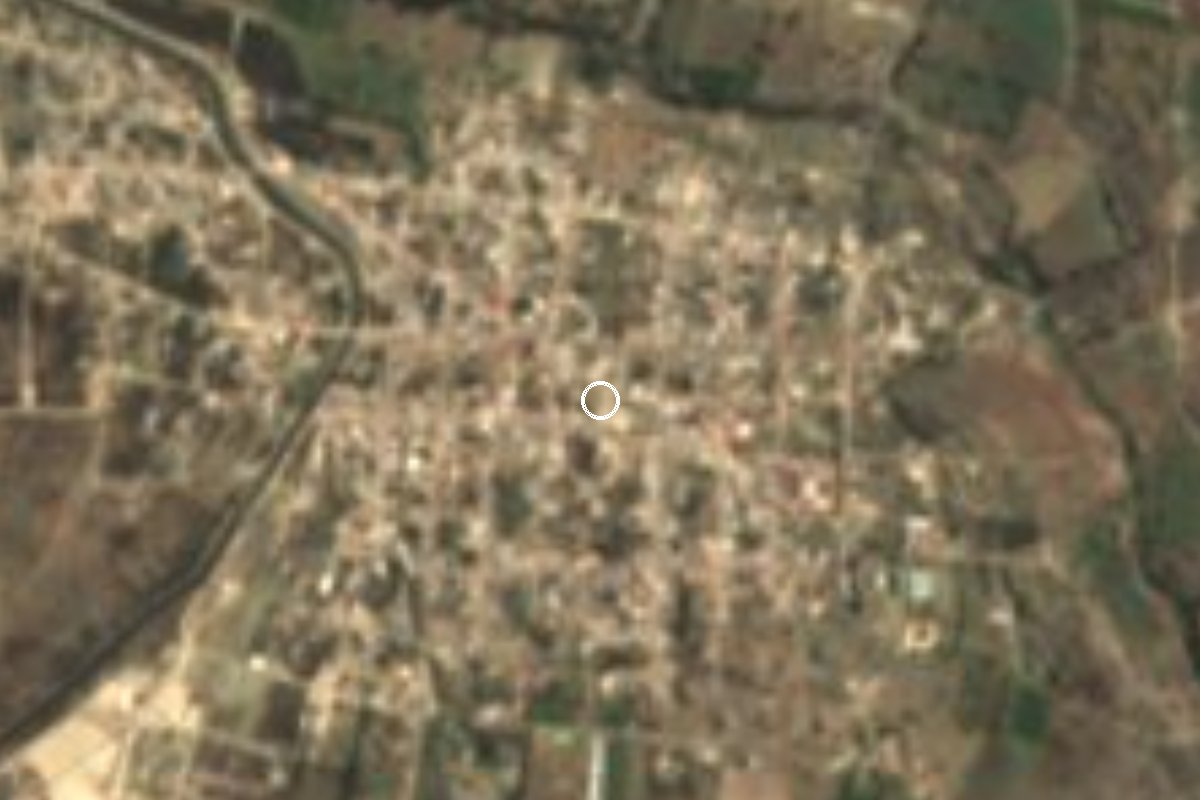
Village Tecali de Herrera, Puebla Puebla Valley
Trading junta auxiliar of Tecali de Herrera at 2,000 m in the Puebla valley; the colonial pueblo of Santa María Ahuatepec, now home to almost 5,000.
From Puebla: 50 min by car (49 km by road) How to get there ↓
Near here
See everything nearby ↓



Plan your visit to Ahuatepec
Where to stay near Ahuatepec
Compare hotels, posadas and guest houses in Ahuatepec.
Tours to Ahuatepec
Day trips and guided outings from Ixtenco often include Ahuatepec; with a local guide you can get there without a car.
 Tours from Puebla City
Africam Safari Zoo Admission with Transportation
★ 4.8 (87) · From US$35
How to get to Ahuatepec
- From Puebla: about 50 min by road (~49 km)
- Nearest airport: Puebla (PBC), 1 h 16 min by car to Ixtenco
Links open a partner site. We may earn a commission if you book, at no cost to you.
Tours from Puebla City, near Ahuatepec


Tours, prices and ratings from Viator, checked weekly. We may earn a commission if you book.
About Ahuatepec
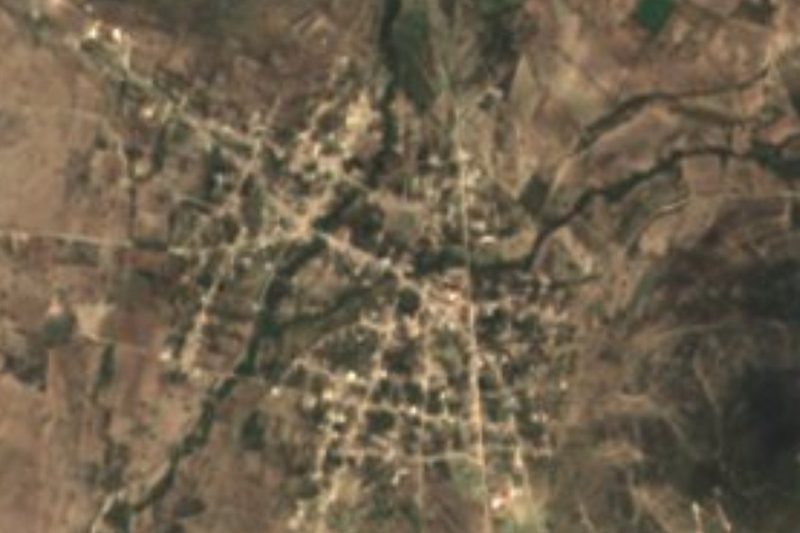
"On the hill of the oaks": that is the meaning of Ahuatepec, from the Nahuatl ahuatl (oak) and tepetl (hill). The village lies at about 2,000 m, northeast of the town of Tecali de Herrera, in the part of the Puebla valley that faces Tepeaca. The climate is mild, averaging close to 17 °C over the year, with most rain in summer.
It already existed in colonial times as Santa María Ahuatepec. The HGIS de las Indias project records it in the early 18th century as part of the jurisdiction of Tepeaca and, from 1709, of Tecali, both within the diocese of Puebla.
It has grown a great deal over the last century: the census counted 466 people in 1900, about 1,400 by mid-century, 3,567 in 2000 and 4,832 in 2020, which puts it among the largest communities in the municipality. It is one of Tecali's six juntas auxiliares, with its own auxiliary president and councillors elected by residents. Unlike many nearby communities, where farming dominates, trade is the main occupation here.
To round out a visit, head down to Tecali, about 12 km away. It has a 16th-century Franciscan convent facing the main square and workshops where onyx and marble are carved, the craft the municipality is known for.
How to get to Ahuatepec
Drive from Puebla: 50 min, 49 km
From Tecali de Herrera take the Tecali-Tepeyahualco federal road northeast: about 12 km, roughly 12 minutes. From the city of Puebla it is about 52 km and 55 minutes, leaving by Boulevard Valsequillo and following state road 527 to Tecali, then the Tecali-Tepeyahualco road. Alternatively come in from Tepeaca, about 15 km (around 22 minutes) via the road to Santa Isabel Tlanepantla and the Ahuatepec road; Tepeaca is reached from Puebla's CAPU on highway 150D. From Ixtenco in Tlaxcala, the nearest pueblo mágico, it is about 68 km and 1 hour via highways 136, 140D and 150D.
Directions to Ahuatepec on Google Maps
Distances are in a straight line; the road is usually longer.
Links open a partner site. We may earn a commission if you book, at no cost to you.
From the nearest cities to Ahuatepec
- Puebla · 49 km by road, 50 min
- Atlixco · 73 km by road, 1 h 10 min
- Huamantla · 76 km by road, 1 h 10 min
Drive times by road from OpenStreetMap, without traffic or stops. Times marked ~ are estimated from the straight-line distance.
Visiting Ahuatepec: what to see and do
The 16th-century Franciscan convent at Tecali de Herrera, about 12 km away.
The onyx and marble workshops of Tecali.
The Santiago Apóstol fair in Tecali, 22-25 July.
Plan your trip
Places to stay in Ahuatepec
Compare hotels, posadas, and rentals in and around Ahuatepec.
Tours & activities
Day trips and guided outings from Ixtenco often include Ahuatepec; with a local guide you can get there without a car.
Rental cars
Pick up a car at PBC (Puebla): about 1 h 16 min by road to Ixtenco, then 44 km more to Ahuatepec, on your own schedule.
Flights
The nearest airport with scheduled flights is Puebla (PBC), about 1 h 16 min by road from Ixtenco, the base for Ahuatepec.
Mobile data
Signal can drop away from Ixtenco: download a map of the way to Ahuatepec before you set out, or carry an eSIM with data.
Links open a partner site. We may earn a commission if you book, at no cost to you.
When to go to Ahuatepec cool
Ahuatepec shares the climate of Ixtenco, 44 km away. The best months to visit are February, March, November, and December.
See the month-by-month climate of Ixtenco
Weather in Ahuatepec now and the next 7 days
Live forecast from Open-Meteo. Chance of rain is the day's highest.
The closest Pueblo Mágico: Ixtenco

Ixtenco is the Pueblo Mágico closest to Ahuatepec, with places to stay, food, and more to see.
Also close to
- Cholula · Puebla · 47 km away
- Huamantla · Tlaxcala · 51 km away
- Atlixco · Puebla · 54 km away
- Huejotzingo · Puebla · 62 km away
Closest to Ahuatepec
-
Atoyatempan · Town · 4 km away
-
Santo Tomás Hueyotlipan · Village · 6 km away
-
Tepeyahualco de Cuauhtémoc · Village · 6 km away
-
Tecali de Herrera · Town · 7 km away
-
San Hipólito Xochiltenango · Village · 10 km away
-
Tochtepec · Town · 10 km away
-
San Martín Caltenco · Village · 11 km away
-
Santa Clara Huitziltepec · Village · 11 km away


Near Ahuatepec






Drive times by road from OpenStreetMap, without traffic. Times marked ~ are estimated from the straight-line distance.
Location from OpenStreetMap. Written by Puebloteca.