

Village Molcaxac, Puebla Municipality of Molcaxac Mixteca Poblana
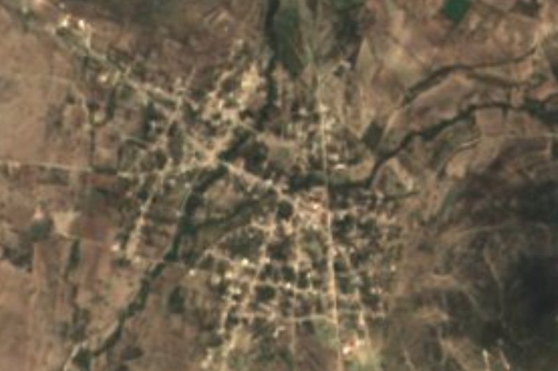
Municipal seat in Puebla's Mixteca, at 1,854 m, with the Asunción parish, the Sierra de Tentzo behind it and the Pececitos waterfall nearby.
From Puebla: 1 h 5 min by car (66 km by road) How to get there ↓
Near here
See everything nearby ↓


Plan your visit to Molcaxac
Where to stay near Molcaxac
Compare hotels, posadas and guest houses in Molcaxac.
Tours to Molcaxac
Day trips and guided outings from Cholula often include Molcaxac; with a local guide you can get there without a car.
 Tours from Puebla City
Africam Safari Zoo Admission with Transportation
★ 4.8 (87) · From US$35
How to get to Molcaxac
- From Puebla: about 1 h 5 min by road (~66 km)
- Nearest airport: Puebla (PBC), 16 min by car to Cholula
Links open a partner site. We may earn a commission if you book, at no cost to you.
Tours from Puebla City, near Molcaxac


Tours, prices and ratings from Viator, checked weekly. We may earn a commission if you book.
About Molcaxac
Molcaxac lies in Puebla's Mixteca, at 1,854 metres, in the south-central part of the state. The town had 1,764 residents in 2020 and the municipality it heads, 6,668. The name joins molotl (sparrow), caxa (nest) and c (at): "where the sparrows have their nests". The climate is temperate and subhumid, with temperatures of 14 to 20 °C and 600 to 700 mm of rain a year, and over forty per cent of the land is under crops.
The documented story begins in the viceregal period, when Molcaxac was subject to the town of Tepexi. The Asunción parish was founded in 1755 and in 1766 residents asked to break away from that centre; the free municipality came in 1895. A 1916 episode is still told: a quarrel with the army of General Juan Andrew Almazán, some 4,000 men, ended with residents sheltering in the parish towers and the town being burned, starting with the church doors.
The setting mixes farmland and hills. The Sierra de Tentzo can be seen from town, and the municipality has four auxiliary boards: Santa Cruz Huitziltepec, San Andrés Mimiahuapan, San Luis Tehuizotla and San José de Gracia. San Andrés has the church shown in the municipality's photographs, and the municipality has a waterfall known as Pececitos. Farming, cattle and trade carry the economy.
How to get to Molcaxac
Drive from Puebla: 1 h 5 min, 66 km
From the city of Puebla, take the federal road Puebla-Cuapiaxtla and at the junction known as La Colorada, in Cuapiaxtla de Madero, turn south onto the Cuapiaxtla-Ixcaquixtla secondary road. According to the municipal monograph the drive takes about 1 h 10 from Puebla and some 30 minutes from La Colorada (approx.); the distance to the state capital is given as 80 to 92 km depending on the source. From Cholula it is about 55 km in a straight line and from Puebla 45 km, a bit more by road. By bus, start at CAPU in Puebla toward Cuapiaxtla and ask there for a combi or taxi on to Molcaxac; no fixed timetable is published. The auxiliary towns, such as San Andrés Mimiahuapan or Santa Cruz Huitziltepec, are reached by roads inside the municipality.
Directions to Molcaxac on Google Maps
Distances are in a straight line; the road is usually longer.
Links open a partner site. We may earn a commission if you book, at no cost to you.
From the nearest cities to Molcaxac
- Puebla · 66 km by road, 1 h 5 min
- Huamantla · 95 km by road, 1 h 20 min
- Atlixco · 90 km by road, 1 h 25 min
Drive times by road from OpenStreetMap, without traffic or stops. Times marked ~ are estimated from the straight-line distance.
Visiting Molcaxac: what to see and do
The parish church of Nuestra Señora de la Asunción, founded in 1755, and its towers.
The Sierra de Tentzo, seen as a panorama from the town.
The church of San Andrés Mimiahuapan, in one of the auxiliary towns.
The Pececitos waterfall.
The farmland and upper Mixteca scenery around the seat.
Plan your trip
Places to stay in Molcaxac
Compare hotels, posadas, and rentals in and around Molcaxac.
Tours & activities
Day trips and guided outings from Cholula often include Molcaxac; with a local guide you can get there without a car.
Rental cars
Pick up a car at PBC (Puebla): about 16 min by road to Cholula, then 55 km more to Molcaxac, on your own schedule.
Flights
The nearest airport with scheduled flights is Puebla (PBC), about 16 min by road from Cholula, the base for Molcaxac.
Mobile data
Signal can drop away from Cholula: download a map of the way to Molcaxac before you set out, or carry an eSIM with data.
Links open a partner site. We may earn a commission if you book, at no cost to you.
When to go to Molcaxac mild
Molcaxac shares the climate of Cholula, 55 km away. The best months to visit are January, February, March, and December.
See the month-by-month climate of Cholula
Weather in Molcaxac now and the next 7 days
Live forecast from Open-Meteo. Chance of rain is the day's highest.
The closest Pueblo Mágico: Cholula

Cholula is the Pueblo Mágico closest to Molcaxac, with places to stay, food, and more to see.
Also close to
- Ixtenco · Tlaxcala · 57 km away
- Atlixco · Puebla · 58 km away
- Huamantla · Tlaxcala · 64 km away
- Huejotzingo · Puebla · 70 km away
Closest to Molcaxac
-
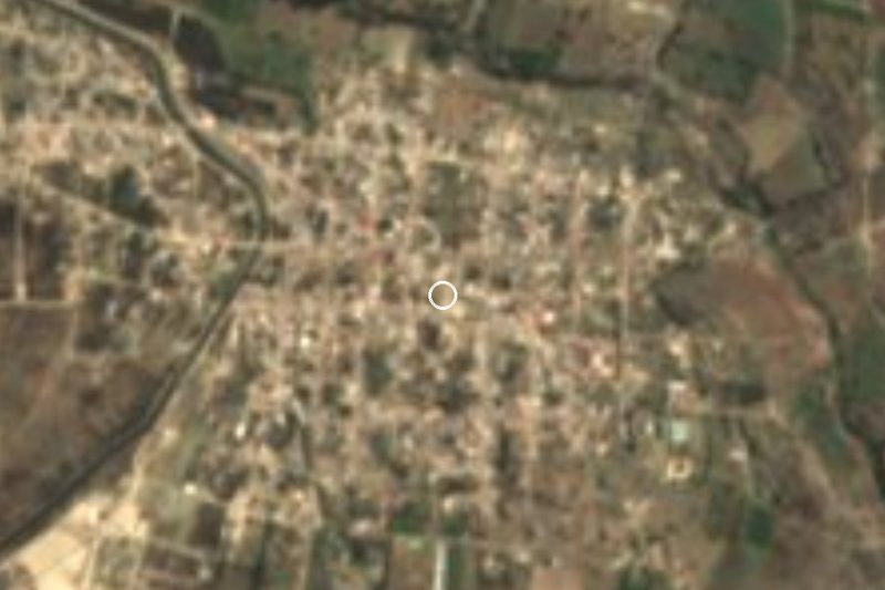
Cascada de Los Pescaditos · Waterfall · 4 km away
-
Santa Cruz Huitziltepec · Village · 4 km away
-
Santa Clara Huitziltepec · Village · 5 km away
-
San Andrés Mimiahuapan · Village · 6 km away
-
Atoyatempan · Town · 9 km away
-
Tepeyahualco de Cuauhtémoc · Village · 9 km away
-
Ahuatepec · Village · 13 km away
-
Tochtepec · Town · 15 km away

Near Molcaxac






Drive times by road from OpenStreetMap, without traffic. Times marked ~ are estimated from the straight-line distance.
Location from OpenStreetMap. Written by Puebloteca.