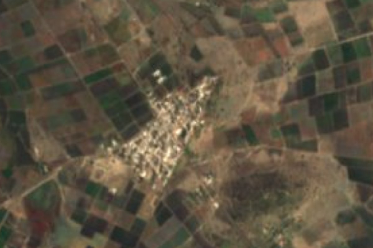
Village Ixcaquixtla, Puebla Mixteca Poblana
Farming village of Ixcaquixtla by the Cuatro Rayas stream, in a Popoloca valley of palm mats, Jesuit haciendas and ash tamales.
From Tehuacán: 1 h 35 min by car (72 km by road) How to get there ↓
Near here
See everything nearby ↓
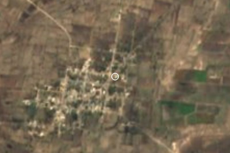
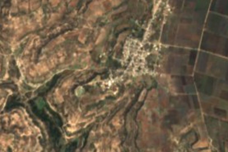

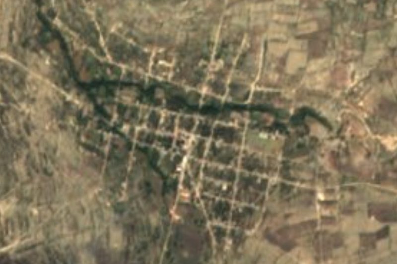

Plan your visit to Alta Luz Cuatro Rayas
Where to stay near Alta Luz Cuatro Rayas
Compare hotels, posadas and guest houses in Alta Luz Cuatro Rayas.
Tours to Alta Luz Cuatro Rayas
Day trips and guided outings from Atlixco often include Alta Luz Cuatro Rayas; with a local guide you can get there without a car.
 Tours from Puebla City
Africam Safari Zoo Admission with Transportation
★ 4.8 (87) · From US$35
How to get to Alta Luz Cuatro Rayas
- From Tehuacán: about 1 h 35 min by road (~72 km)
- Nearest airport: Puebla (PBC), 41 min by car to Atlixco
Links open a partner site. We may earn a commission if you book, at no cost to you.
Tours from Puebla City, near Alta Luz Cuatro Rayas


Tours, prices and ratings from Viator, checked weekly. We may earn a commission if you book.
About Alta Luz Cuatro Rayas
One of the seasonal streams crossing Ixcaquixtla is called Cuatro Rayas, and the same name is carried by this community of 1,722 people in 2020, the most populous in the municipality after the seat. It stands at 1,852 m, about 7 km in a straight line from San Juan Ixcaquixtla and 69 km from Puebla city; Tehuacán, 51 km away, is the nearest large city. The landscape is a working valley: over 70% of the municipal land is farmed, the rest is scrub, and the climate is mild, averaging 16 to 18 °C with 600 to 800 mm of rain a year, mostly in summer.
The municipality's name has several readings. Tradition renders it as "the place where someone is called", recalling a first settler who, alone, called out to a passer-by to stay; a document from 1520 spells it Yxcaquixtlan, "where cotton comes out", and in Popoloca it was known as the place of many ponds. The Popoloca heritage is still visible in pyramid platforms in and around the seat, and in 2004 a pre-Hispanic tomb with mural painting was found, now in INAH custody and closed to the public. Beside the old Colorado reservoir a battle of the War of Independence was fought on 1 January 1817.
In the seat, a few minutes away, stand the Churrigueresque parish church of San Juan Bautista, from the 17th century; the 16th-century Soledad chapel; the granary where the valley's harvest was stored; the 18th-century Casa de Altos; a French-style Porfirian house and the old railway station on the royal road to Atenayuca. Nearby are former haciendas such as El Barragán, founded by the Jesuits. The main fiesta is on 24 June, and on 12 December comes the Noche del Maíz. People here weave palm mats, reed baskets and rope goods, and eat ash tamales, chicharrón teteles, tlaxcales, huaxmole and chilate with tempesquistle, with criollo plum atole and sweets.
How to get to Alta Luz Cuatro Rayas
Drive from Tehuacán: 1 h 35 min, 72 km
The municipality of Ixcaquixtla lies about 108 km from Puebla city, in the south of the state, and the village is some 7 km in a straight line from the seat, San Juan Ixcaquixtla. We found no bus line with a published timetable from the CAPU to Ixcaquixtla or Alta Luz; go by car, or ask about local transport in the seat or in Tepexi de Rodríguez, the neighbouring municipality to the north.
Directions to Alta Luz Cuatro Rayas on Google Maps
Distances are in a straight line; the road is usually longer.
Links open a partner site. We may earn a commission if you book, at no cost to you.
From the nearest cities to Alta Luz Cuatro Rayas
- Tehuacán · 72 km by road, 1 h 35 min
- Puebla · 99 km by road, 1 h 40 min
- Orizaba · about 115 km by road, ~1 h 40 min
Drive times by road from OpenStreetMap, without traffic or stops. Times marked ~ are estimated from the straight-line distance.
Visiting Alta Luz Cuatro Rayas: what to see and do
The farming valley of Alta Luz Cuatro Rayas and its seasonal stream.
In San Juan Ixcaquixtla: the 17th-century church of San Juan Bautista, the Soledad chapel and the old granary.
The Jesuit former hacienda of El Barragán.
The Noche del Maíz, every 12 December.
Plan your trip
Places to stay in Alta Luz Cuatro Rayas
Compare hotels, posadas, and rentals in and around Alta Luz Cuatro Rayas.
Tours & activities
Day trips and guided outings from Atlixco often include Alta Luz Cuatro Rayas; with a local guide you can get there without a car.
Rental cars
Pick up a car at PBC (Puebla): about 41 min by road to Atlixco, then 74 km more to Alta Luz Cuatro Rayas, on your own schedule.
Flights
The nearest airport with scheduled flights is Puebla (PBC), about 41 min by road from Atlixco, the base for Alta Luz Cuatro Rayas.
Mobile data
Signal can drop away from Atlixco: download a map of the way to Alta Luz Cuatro Rayas before you set out, or carry an eSIM with data.
Links open a partner site. We may earn a commission if you book, at no cost to you.
When to go to Alta Luz Cuatro Rayas mild
Alta Luz Cuatro Rayas shares the climate of Atlixco, 74 km away. The best months to visit are January, February, March, and December.
See the month-by-month climate of Atlixco
Weather in Alta Luz Cuatro Rayas now and the next 7 days
Live forecast from Open-Meteo. Chance of rain is the day's highest.
The closest Pueblo Mágico: Atlixco

Atlixco is the Pueblo Mágico closest to Alta Luz Cuatro Rayas, with places to stay, food, and more to see.
Also close to
- Cholula · Puebla · 77 km away
Closest to Alta Luz Cuatro Rayas
-
San Juan Ixcaquixtla · Town · 7 km away
-
Nativitas Cuautempan · Village · 9 km away
-
Almolonga · Village · 10 km away
-
Tepexi de Rodríguez · Town · 10 km away
-
Atenayuca · Village · 11 km away
-
San Felipe Otlaltepec · Village · 12 km away
-
San Mateo Zoyamazalco · Village · 12 km away
-
San Vicente Coyotepec · Village · 12 km away
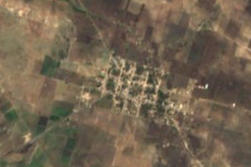
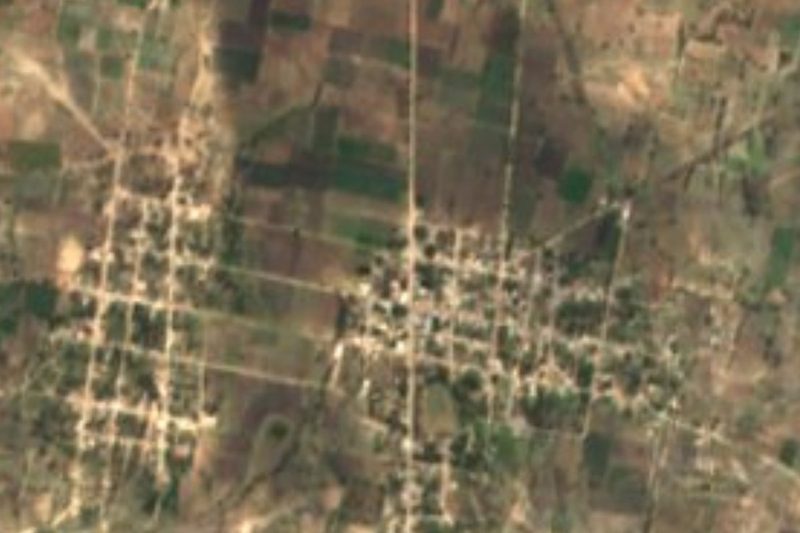
Near Alta Luz Cuatro Rayas


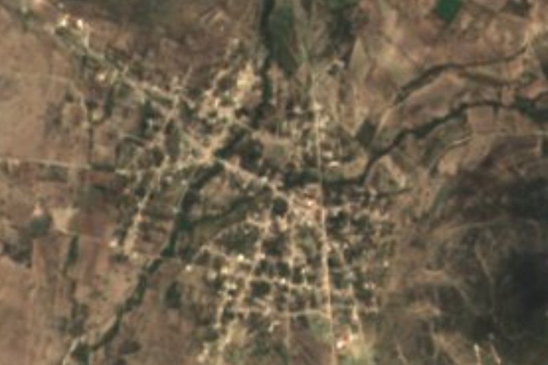

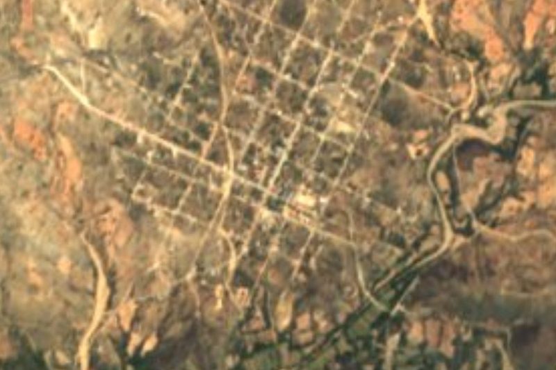


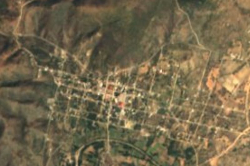
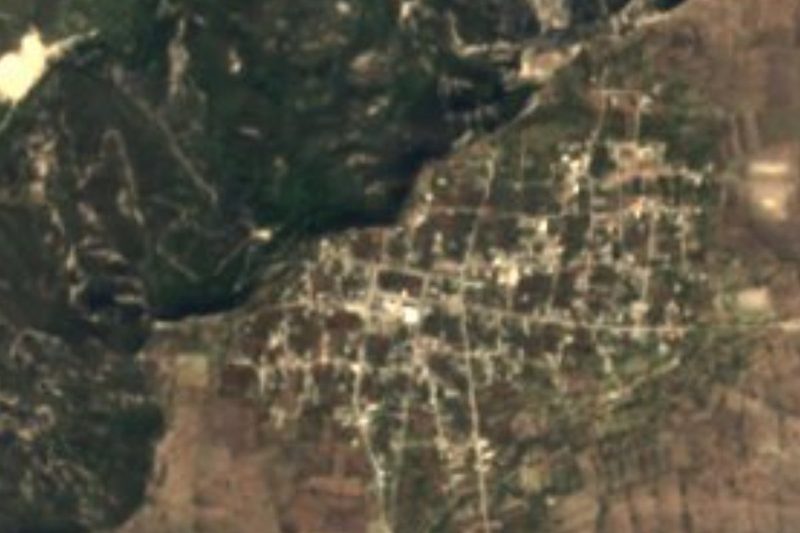
Drive times by road from OpenStreetMap, without traffic. Times marked ~ are estimated from the straight-line distance.
Location from OpenStreetMap. Written by Puebloteca.