Village Juan N. Méndez, Puebla Mixteca Poblana
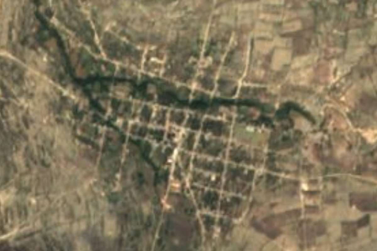
"Place of walled-in water": seat of Juan N. Méndez, with a 16th-century Santa Isabel parish church amid scrubland and palm weaving.
From Tehuacán: 1 h 5 min by car (53 km by road) How to get there ↓
Near here
See everything nearby ↓



Plan your visit to Atenayuca
Where to stay near Atenayuca
Compare hotels, posadas and guest houses in Atenayuca.
Tours to Atenayuca
Day trips and guided outings from Orizaba often include Atenayuca; with a local guide you can get there without a car.
 Tours from Puebla City
Africam Safari Zoo Admission with Transportation
★ 4.8 (87) · From US$35
How to get to Atenayuca
- From Tehuacán: about 1 h 5 min by road (~53 km)
- Nearest airport: Veracruz (VER), 1 h 42 min by car to Orizaba
Links open a partner site. We may earn a commission if you book, at no cost to you.
Tours from Puebla City, near Atenayuca


Tours, prices and ratings from Viator, checked weekly. We may earn a commission if you book.
About Atenayuca
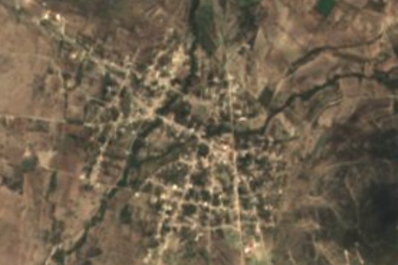
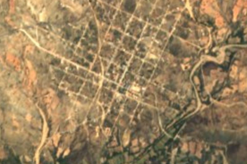
"Place of walled-in water" is the usual reading of Atenayuca, which joins the Nahuatl words atl, water, and tenamitl, wall or fence, with a place suffix. The name fits what you see from above: a tree-lined strip of stream crossing the street grid in an otherwise dry, brown landscape. This is where the council of Juan N. Méndez sits; the town had 1,827 residents in 2020 and lies at 1,924 metres, about 41 km in a straight line west of Tehuacán and 72 km southeast of Puebla city. Its oldest building is the parish church dedicated to Saint Elizabeth, raised in the 16th century.
The municipality was created in 1895 and covers about 225 km² of the south of the state. To the north it meets Molcaxac, Xochitlán Todos Santos and Tlacotepec de Benito Juárez; to the south, Coyotepec and Atexcal; to the east, Tehuacán; and to the west, Ixcaquixtla and Tepexi de Rodríguez. Nearly two-thirds of the land is scrub and under a third is farmed; built-up area barely reaches 1%. Water runs only in season, along streams such as the Axamilpa, Las Garzas and La Magdalena, most of them part of the Balsas basin, though one corner drains toward the Papaloapan. The climate is mostly mild with sparse summer rain, averaging 12 to 20 °C and 600 to 800 mm a year.
People weave palm, work clay and draw ixtle fibre from maguey. On the table are mole poblano, pipián, tamales and pan criollo, with pumpkin sweets, jamoncillo and xemezcal, maguey heart cooked underground, for dessert; to drink, atole, chocolate, aguardiente or mezcal. Besides Spanish, about a hundred people speak Indigenous languages: Nahuatl, Mazatec and Popoloca. It suits travellers moving slowly through the Mixteca and the Tehuacán valley who want to see a scrubland municipal seat well away from the tourist circuit.
How to get to Atenayuca
Drive from Tehuacán: 1 h 5 min, 53 km
Atenayuca lies 41 km in a straight line west of Tehuacán and 72 km southeast of Puebla city. Buses leave Puebla's CAPU terminal for Tehuacán very frequently (about two hours); from there you continue west by road. We found no documented public route to the town itself, so ask about local transport in Tehuacán or drive.
Directions to Atenayuca on Google Maps
Distances are in a straight line; the road is usually longer.
Links open a partner site. We may earn a commission if you book, at no cost to you.
From the nearest cities to Atenayuca
- Tehuacán · 53 km by road, 1 h 5 min
- Atlixco · about 105 km by road, ~1 h 35 min
- Orizaba · 109 km by road, 2 h
Drive times by road from OpenStreetMap, without traffic or stops. Times marked ~ are estimated from the straight-line distance.
Visiting Atenayuca: what to see and do
The 16th-century parish church of Saint Elizabeth.
The tree-lined stream that crosses town.
Palm weaving, pottery and ixtle made in the municipality.
The dry scrubland around the town.
Plan your trip
Places to stay in Atenayuca
Compare hotels, posadas, and rentals in and around Atenayuca.
Tours & activities
Day trips and guided outings from Orizaba often include Atenayuca; with a local guide you can get there without a car.
Rental cars
Pick up a car at VER (Veracruz): about 1 h 42 min by road to Orizaba, then 78 km more to Atenayuca, on your own schedule.
Flights
The nearest airport with scheduled flights is Veracruz (VER), about 1 h 42 min by road from Orizaba, the base for Atenayuca.
Mobile data
Signal can drop away from Orizaba: download a map of the way to Atenayuca before you set out, or carry an eSIM with data.
Links open a partner site. We may earn a commission if you book, at no cost to you.
When to go to Atenayuca mild
Atenayuca shares the climate of Orizaba, 78 km away. The best months to visit are February, March, April, and December.
See the month-by-month climate of Orizaba
Weather in Atenayuca now and the next 7 days
Live forecast from Open-Meteo. Chance of rain is the day's highest.
The closest Pueblo Mágico: Orizaba

Orizaba is the Pueblo Mágico closest to Atenayuca, with places to stay, food, and more to see.
Also close to
- Atlixco · Puebla · 80 km away
Closest to Atenayuca
-
Alta Luz Cuatro Rayas · Village · 11 km away
-
San Juan Ixcaquixtla · Town · 11 km away
-
Santa María la Alta · Village · 13 km away
-
San Mateo Zoyamazalco · Village · 14 km away
-
Nativitas Cuautempan · Village · 16 km away
-
San Martín Atexcal · Village · 16 km away
-
San Vicente Coyotepec · Village · 17 km away
-
Tepexi de Rodríguez · Town · 17 km away
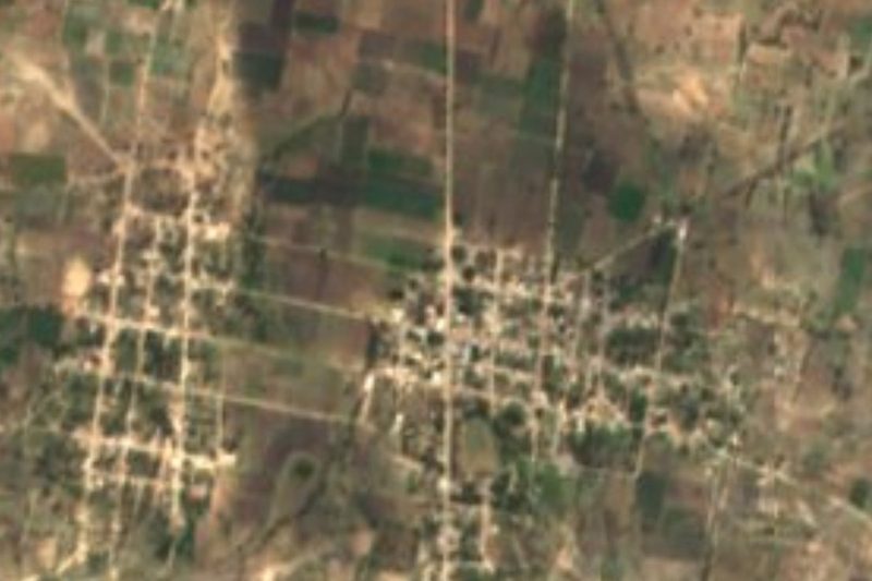

Near Atenayuca

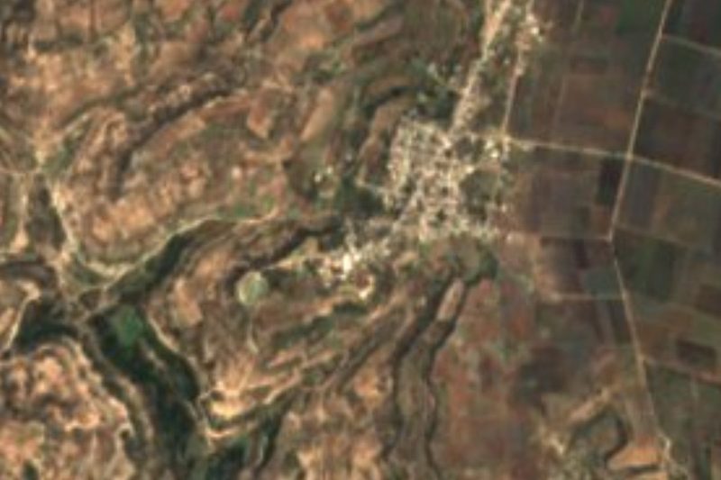


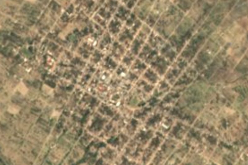


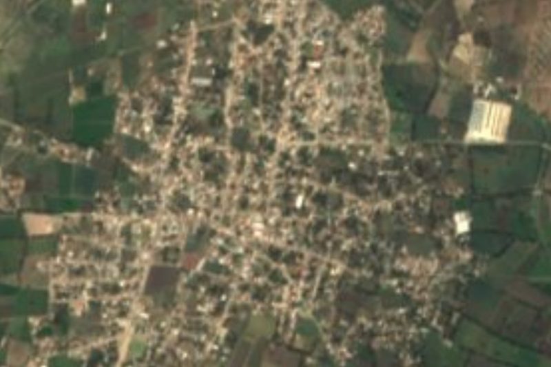


Drive times by road from OpenStreetMap, without traffic. Times marked ~ are estimated from the straight-line distance.
Location from OpenStreetMap. Written by Puebloteca.