Village Coyotepec, Puebla Municipality of Coyotepec Mixteca Poblana
Village in the Acatlán River basin, "on the hill of the coyote", seat of a municipality of about 2,300 people next to Ixcaquixtla.
From Tehuacán: 1 h 35 min by car (64 km by road) How to get there ↓
Near here
See everything nearby ↓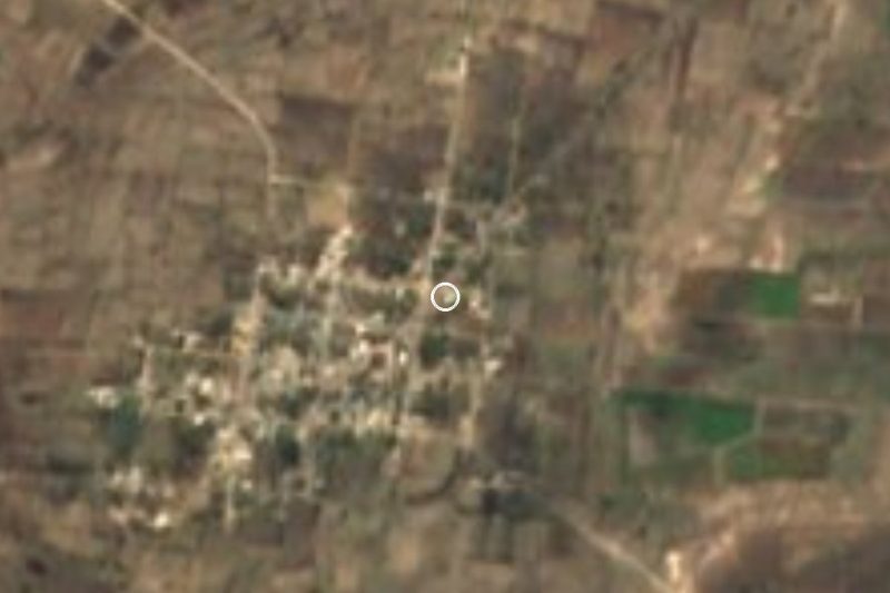


Plan your visit to San Vicente Coyotepec
Where to stay near San Vicente Coyotepec
Compare hotels, posadas and guest houses in San Vicente Coyotepec.
Tours to San Vicente Coyotepec
Day trips and guided outings from Atlixco often include San Vicente Coyotepec; with a local guide you can get there without a car.
 Tours from Puebla City
Africam Safari Zoo Admission with Transportation
★ 4.8 (87) · From US$35
How to get to San Vicente Coyotepec
- From Tehuacán: about 1 h 35 min by road (~64 km)
- Nearest airport: Puebla (PBC), 41 min by car to Atlixco
Links open a partner site. We may earn a commission if you book, at no cost to you.
Tours from Puebla City, near San Vicente Coyotepec


Tours, prices and ratings from Viator, checked weekly. We may earn a commission if you book.
About San Vicente Coyotepec
San Vicente Coyotepec is the seat of the municipality of Coyotepec in southern Puebla, in the Acatlán River basin and within the Tehuacán region. The name joins its patron, Saint Vincent Ferrer, with the Nahuatl Coyotepec, from coyotl, coyote, tepetl, hill, and c, place: "on the hill of the coyote". The village stands at about 1,880 m and had 1,277 people in 2020.
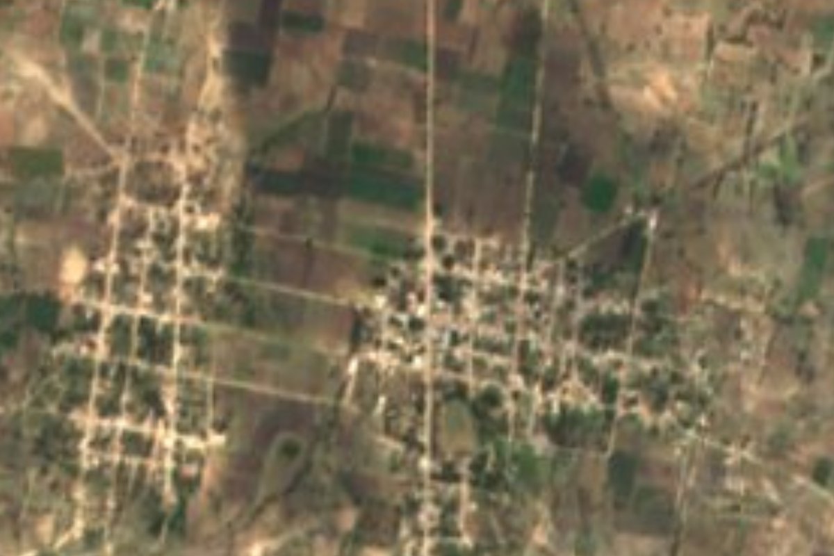
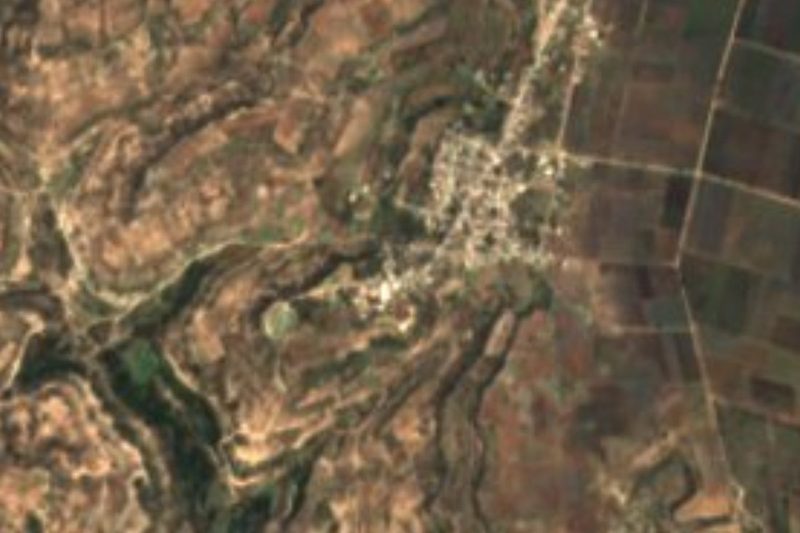
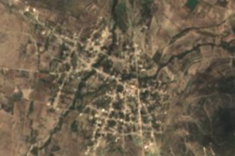
It is a small municipality. The 2020 census counted 2,334 people in four settlements. It borders Ixcaquixtla, which wraps around its north, and the municipalities of the Acatlán basin. From above, its houses form two clusters of gridded streets among rain-fed fields.
The parish church of San Vicente Ferrer holds the village's parish archive. For anyone exploring the area, it pairs well with Ixcaquixtla, with its Churrigueresque church and Night of Maize, and with Tepexi de Rodríguez.
How to get to San Vicente Coyotepec
Drive from Tehuacán: 1 h 35 min, 64 km
San Vicente Coyotepec lies in southern Puebla next to Ixcaquixtla, which is about 108 km from the capital by road. Tehuacán is about 47 km away in a straight line and Puebla city about 81 km in a straight line. The practical way is by car via Tepexi de Rodríguez and Ixcaquixtla.
Directions to San Vicente Coyotepec on Google Maps
Distances are in a straight line; the road is usually longer.
Links open a partner site. We may earn a commission if you book, at no cost to you.
From the nearest cities to San Vicente Coyotepec
- Tehuacán · 64 km by road, 1 h 35 min
- Huajuapan de León · 89 km by road, 1 h 35 min
- Orizaba · about 120 km by road, ~1 h 45 min
Drive times by road from OpenStreetMap, without traffic or stops. Times marked ~ are estimated from the straight-line distance.
Visiting San Vicente Coyotepec: what to see and do
The parish church of San Vicente Ferrer.
The landscape of the Acatlán River basin.
Pair it with neighbouring San Juan Ixcaquixtla.
Plan your trip
Places to stay in San Vicente Coyotepec
Compare hotels, posadas, and rentals in and around San Vicente Coyotepec.
Tours & activities
Day trips and guided outings from Atlixco often include San Vicente Coyotepec; with a local guide you can get there without a car.
Rental cars
Pick up a car at PBC (Puebla): about 41 min by road to Atlixco, then 84 km more to San Vicente Coyotepec, on your own schedule.
Flights
The nearest airport with scheduled flights is Puebla (PBC), about 41 min by road from Atlixco, the base for San Vicente Coyotepec.
Mobile data
Signal can drop away from Atlixco: download a map of the way to San Vicente Coyotepec before you set out, or carry an eSIM with data.
Links open a partner site. We may earn a commission if you book, at no cost to you.
When to go to San Vicente Coyotepec mild
San Vicente Coyotepec shares the climate of Atlixco, 84 km away. The best months to visit are January, February, March, and December.
See the month-by-month climate of Atlixco
Weather in San Vicente Coyotepec now and the next 7 days
Live forecast from Open-Meteo. Chance of rain is the day's highest.
The closest Pueblo Mágico: Atlixco

Atlixco is the Pueblo Mágico closest to San Vicente Coyotepec, with places to stay, food, and more to see.
Closest to San Vicente Coyotepec
-
Nativitas Cuautempan · Village · 4 km away
-
San Mateo Zoyamazalco · Village · 4 km away
-
San Juan Ixcaquixtla · Town · 6 km away
-
San Felipe Otlaltepec · Village · 8 km away
-
San Martín Atexcal · Village · 10 km away
-
Alta Luz Cuatro Rayas · Village · 12 km away
-
Almolonga · Village · 16 km away
-
Atenayuca · Village · 17 km away
Near San Vicente Coyotepec





Drive times by road from OpenStreetMap, without traffic. Times marked ~ are estimated from the straight-line distance.
Location from OpenStreetMap. Written by Puebloteca.