Village Coyotepec, Puebla Municipality of Coyotepec Mixteca Poblana
"Where the palms fork": a village of 599 people in Coyotepec, in Puebla's dry south, where palm and zoyate are woven into sleeping mats.
From Tehuacán: 1 h 30 min by car (61 km by road) How to get there ↓
Near here
See everything nearby ↓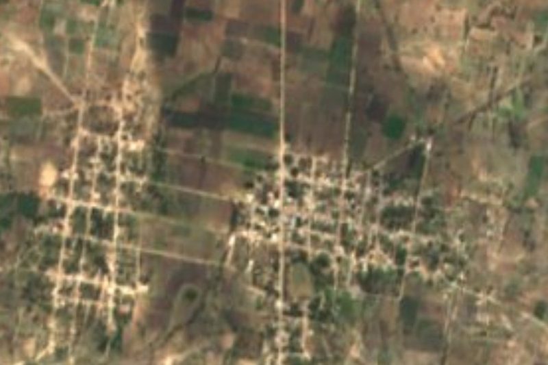

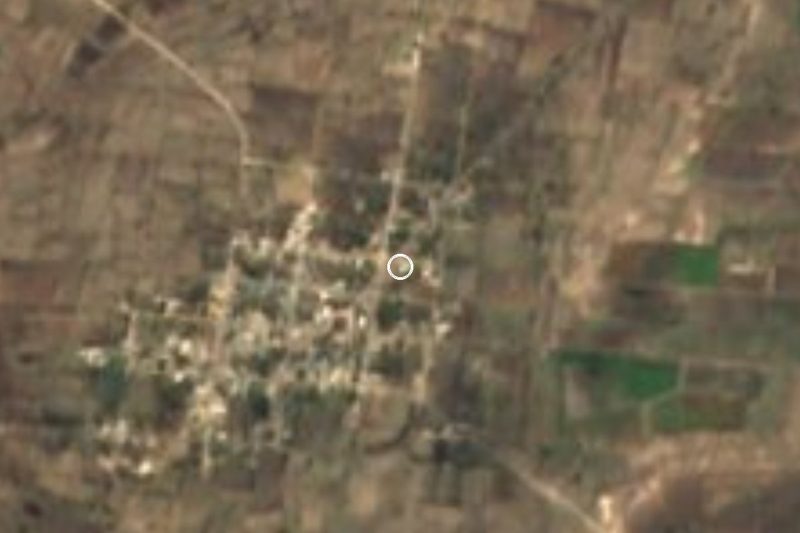

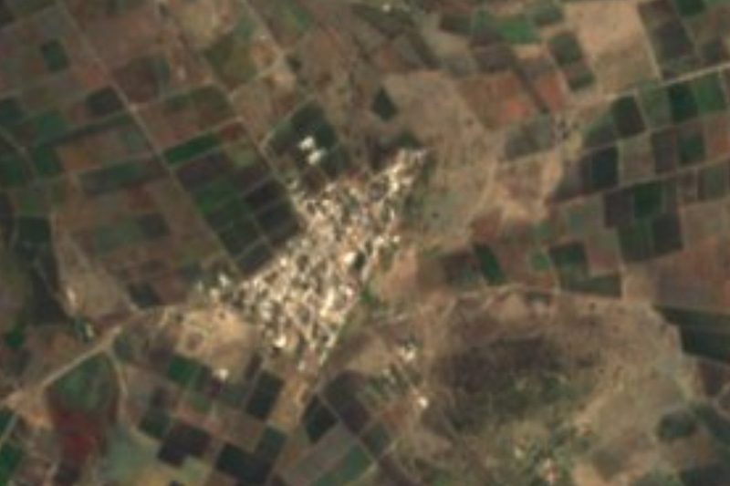

Plan your visit to San Mateo Zoyamazalco
Where to stay near San Mateo Zoyamazalco
Compare hotels, posadas and guest houses in San Mateo Zoyamazalco.
Tours to San Mateo Zoyamazalco
Day trips and guided outings from Atlixco often include San Mateo Zoyamazalco; with a local guide you can get there without a car.
 Tours from Puebla City
Africam Safari Zoo Admission with Transportation
★ 4.8 (87) · From US$35
How to get to San Mateo Zoyamazalco
- From Tehuacán: about 1 h 30 min by road (~61 km)
- Nearest airport: Puebla (PBC), 41 min by car to Atlixco
Links open a partner site. We may earn a commission if you book, at no cost to you.
Tours from Puebla City, near San Mateo Zoyamazalco


Tours, prices and ratings from Viator, checked weekly. We may earn a commission if you book.
About San Mateo Zoyamazalco
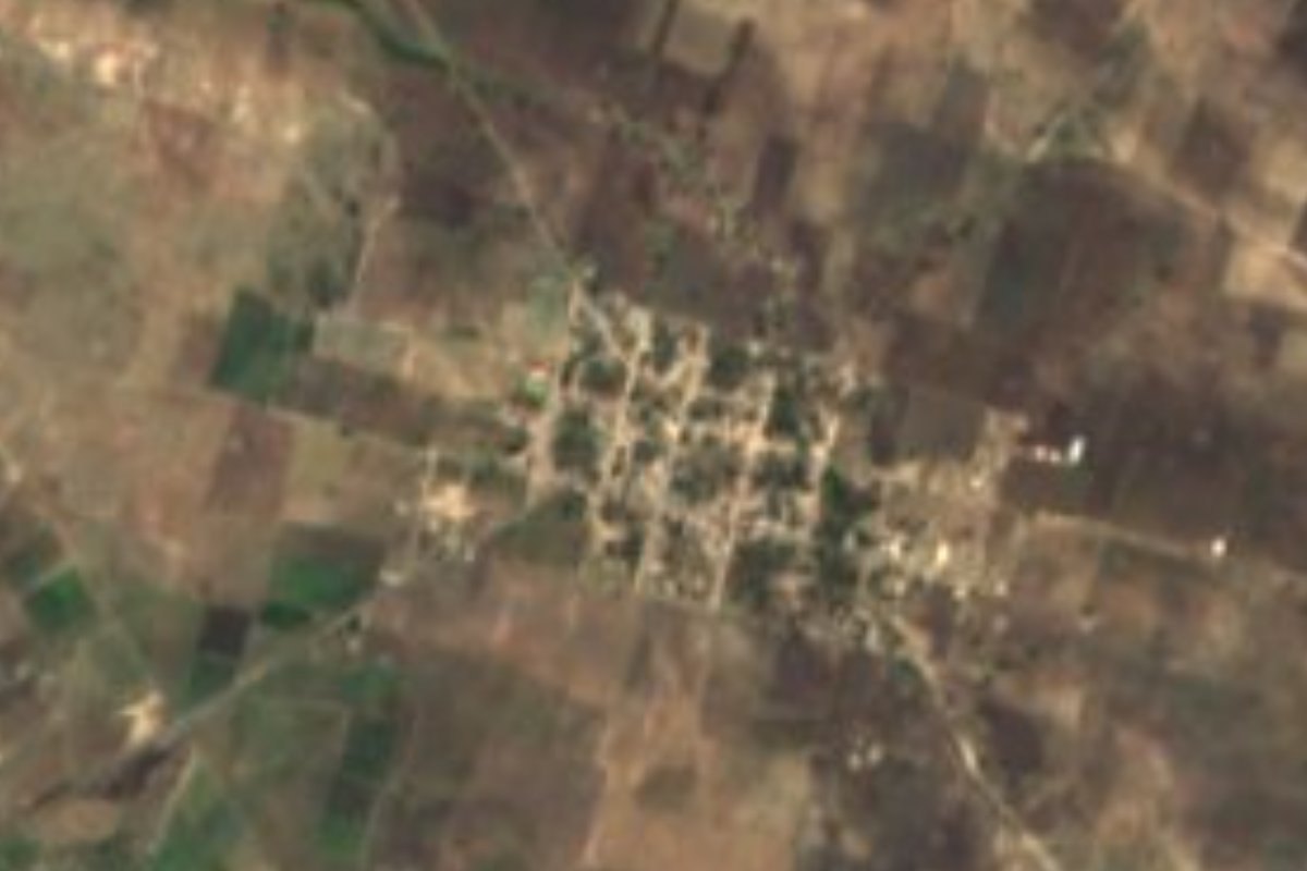
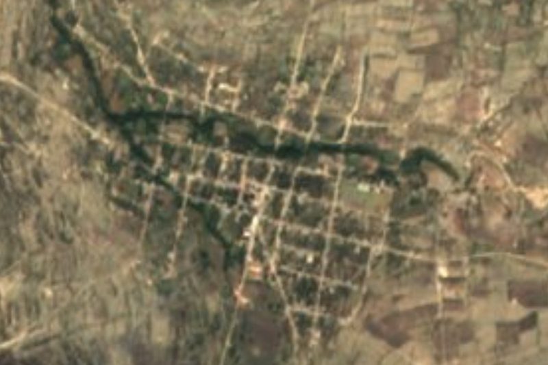
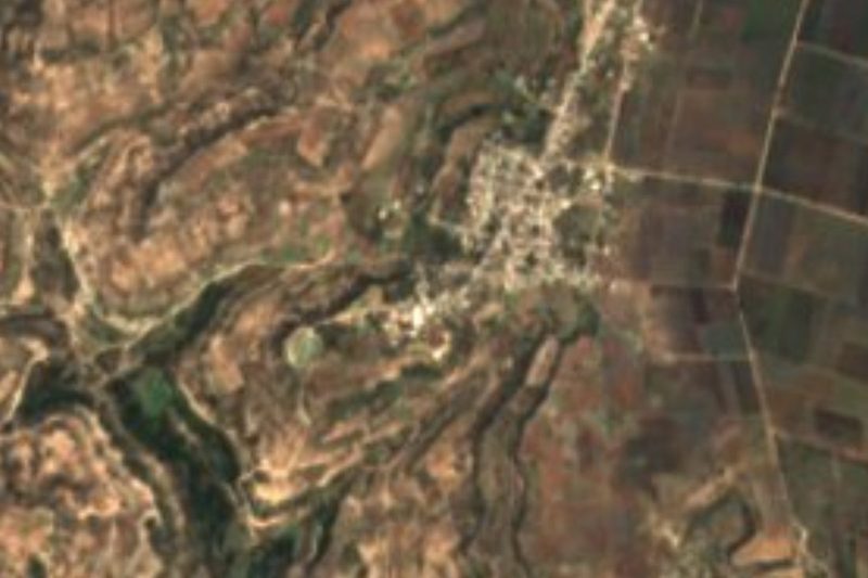
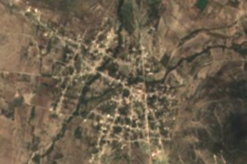
Zoyamazalco comes from Nahuatl zoyatl, palm, maxaltie, fork, and the locative co: "where the palms fork". The name fits Coyotepec, where palm groves cover about 13% of the land and palm and zoyate are the raw material for petates and tenates, the region's woven mats and baskets. Saint Matthew the Evangelist is the village patron. In 2020 it had 599 residents, at about 1,903 metres above sea level. From above you see a compact grid of a few tree-shaded blocks, surrounded by brown rain-fed plots and the odd green patch of irrigated land.
Coyotepec is a small, thinly populated municipality: in 2010 it had seven localities and 2,339 residents, spread over a territory that is 0.39% of the state, between 1,700 and 2,200 metres. It borders Ixcaquixtla, Juan N. Méndez, Atexcal, Totoltepec de Guerrero and Tepexi de Rodríguez, and belongs to the Sierras del Sur de Puebla. Most of it is a plain on rocky ground with thin soils, broken only here and there by steep volcanic slopes and a basalt plateau. Water drains toward the Acatlán river, in the Atoyac and Balsas basin, through streams that only run in the rainy season, such as the Magdalena.
The climate is warmer than in the central valleys: averages run from 16 to 22 °C, with 600 to 800 mm of rain, and a sixth of the municipality is already semi-warm. A little under half the land is farmed; the rest is scrub, palm grove and small remnants of low forest and woodland. The municipal seat keeps a sixteenth-century parish church dedicated to San Vicente, and Popoloca and Nahuatl are still spoken in the municipality. Besides palm weaving, people carve bone and work leather. On the table you find mutton and goat barbacoa, mole poblano, chicharrón and carnitas, calabazate for dessert and, to drink, atole, chocolate, aguardiente and mezcal.
How to get to San Mateo Zoyamazalco
Drive from Tehuacán: 1 h 30 min, 61 km
Zoyamazalco is in the south of the state, about 81 km in a straight line from Puebla city, 44 km from Tehuacán and 86 km from Atlixco. By road, first head for Tepexi de Rodríguez or Ixcaquixtla, neighbouring municipalities, and from there take secondary roads to Coyotepec and the village; ask about road conditions in the rainy season.
Directions to San Mateo Zoyamazalco on Google Maps
Distances are in a straight line; the road is usually longer.
Links open a partner site. We may earn a commission if you book, at no cost to you.
From the nearest cities to San Mateo Zoyamazalco
- Tehuacán · 61 km by road, 1 h 30 min
- Huajuapan de León · 92 km by road, 1 h 40 min
- Orizaba · about 115 km by road, ~1 h 40 min
Drive times by road from OpenStreetMap, without traffic or stops. Times marked ~ are estimated from the straight-line distance.
Visiting San Mateo Zoyamazalco: what to see and do
San Mateo Zoyamazalco's small grid of streets and its rain-fed fields.
The palm groves and the weaving of petates and tenates from palm and zoyate.
The sixteenth-century parish church of San Vicente, in Coyotepec's municipal seat.
Plan your trip
Places to stay in San Mateo Zoyamazalco
Compare hotels, posadas, and rentals in and around San Mateo Zoyamazalco.
Tours & activities
Day trips and guided outings from Atlixco often include San Mateo Zoyamazalco; with a local guide you can get there without a car.
Rental cars
Pick up a car at PBC (Puebla): about 41 min by road to Atlixco, then 86 km more to San Mateo Zoyamazalco, on your own schedule.
Flights
The nearest airport with scheduled flights is Puebla (PBC), about 41 min by road from Atlixco, the base for San Mateo Zoyamazalco.
Mobile data
Signal can drop away from Atlixco: download a map of the way to San Mateo Zoyamazalco before you set out, or carry an eSIM with data.
Links open a partner site. We may earn a commission if you book, at no cost to you.
When to go to San Mateo Zoyamazalco mild
San Mateo Zoyamazalco shares the climate of Atlixco, 86 km away. The best months to visit are January, February, March, and December.
See the month-by-month climate of Atlixco
Weather in San Mateo Zoyamazalco now and the next 7 days
Live forecast from Open-Meteo. Chance of rain is the day's highest.
The closest Pueblo Mágico: Atlixco

Atlixco is the Pueblo Mágico closest to San Mateo Zoyamazalco, with places to stay, food, and more to see.
Closest to San Mateo Zoyamazalco
-
San Vicente Coyotepec · Village · 4 km away
-
San Juan Ixcaquixtla · Town · 5 km away
-
Nativitas Cuautempan · Village · 6 km away
-
San Martín Atexcal · Village · 7 km away
-
Alta Luz Cuatro Rayas · Village · 12 km away
-
San Felipe Otlaltepec · Village · 12 km away
-
Atenayuca · Village · 14 km away
-
Almolonga · Village · 18 km away
Near San Mateo Zoyamazalco





Drive times by road from OpenStreetMap, without traffic. Times marked ~ are estimated from the straight-line distance.
Location from OpenStreetMap. Written by Puebloteca.