Town Santa Inés Ahuatempan, Puebla Mixteca Poblana
Town in Puebla's Mixteca founded in 1605, "at the edge of the oak wood", beside the Mesa Carbajal, where the Acatlán River rises.
From Atlixco: about 1 h 20 min by road (~90 km) How to get there ↓
Near here
See everything nearby ↓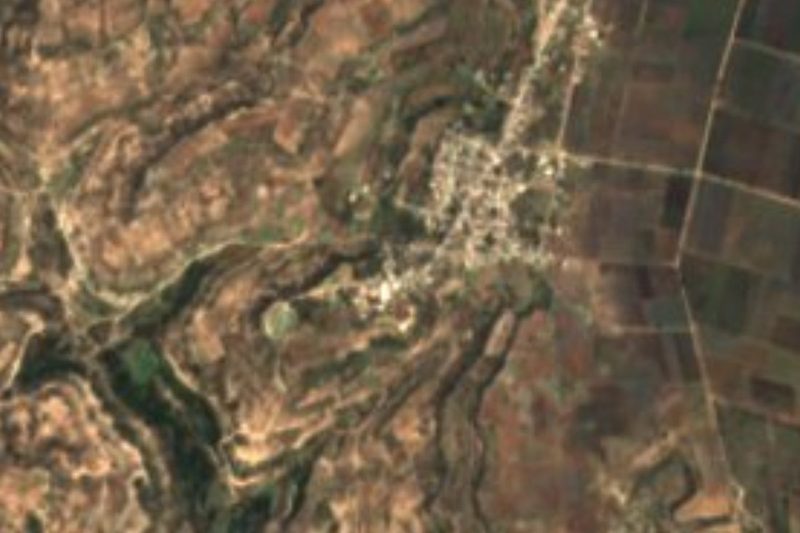

Plan your visit to Santa Inés Ahuatempan
Where to stay near Santa Inés Ahuatempan
Compare hotels, posadas and guest houses in Santa Inés Ahuatempan.
Tours to Santa Inés Ahuatempan
Day trips around Atlixco sometimes stop in Santa Inés Ahuatempan; a tour is the easy way to see it without a car.
 Tours from Atlixco
Atlixco Volcano Views Popocatépetl Tour Forest Route
From US$108
How to get to Santa Inés Ahuatempan
- From Atlixco: about 1 h 20 min by road (~90 km)
- Nearest airport: Puebla (PBC), 41 min by car to Atlixco
Links open a partner site. We may earn a commission if you book, at no cost to you.
Tours from Atlixco, near Santa Inés Ahuatempan
Tours, prices and ratings from Viator, checked weekly. We may earn a commission if you book.
About Santa Inés Ahuatempan
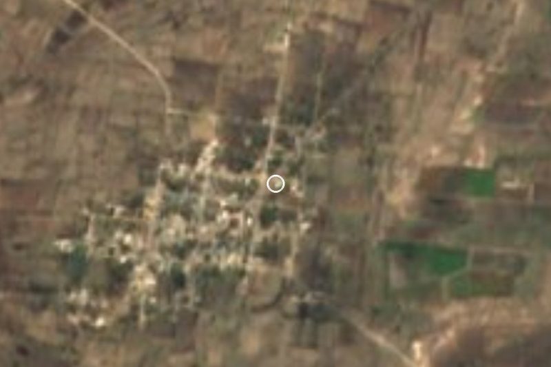
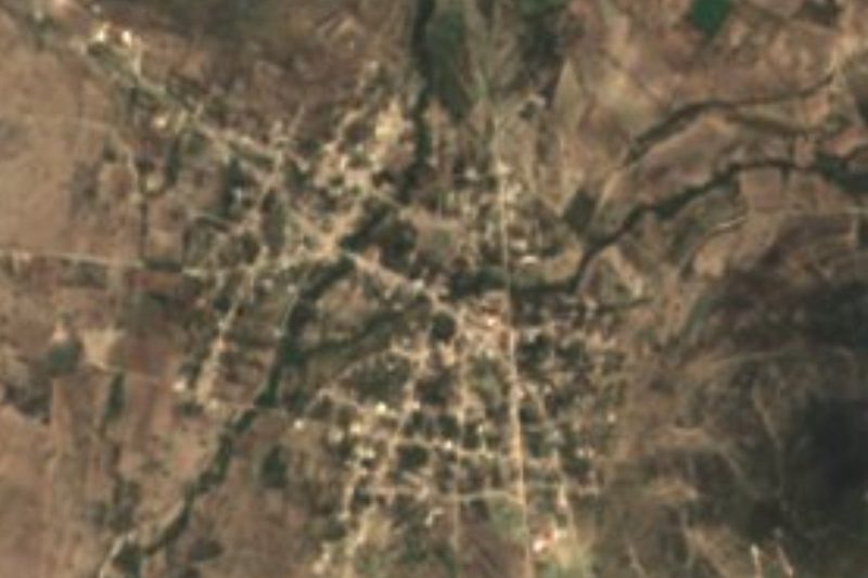
Santa Inés Ahuatempan is the seat of the municipality of the same name in Puebla's Mixteca, about 100 km from Puebla city. The name comes from the Nahuatl ahuatl, oak, tentli, edge, and pan, in: "at the edge of the oak wood". The town stands at about 1,800 m and had 4,426 people in 2020. It was founded on 20 January 1605, when the area's scattered inhabitants were gathered on donated land, and became a free municipality in 1895.
The municipality, about 283 km², straddles two regions: the plains of Tepexi de Rodríguez to the north and the Sierra de Acatlán to the south. Down its middle, north to south, runs the Mesa Carbajal, a tableland more than 10 km long and 2 km wide at about 1,900 m, the highest ground in the territory. From it the land drops sharply toward the Atoyac, Acatlán and Carnero rivers, past hills such as El Metate, El Tecorral, Loma Toro, Ometolonte and La Víbora, and mesas such as Cuesta Blanca and Moctezuma Chichica.
There are no big rivers, but many streams run off the mesa: to the north and west they feed the Atoyac; to the south-west they are dammed in the Boqueroncito reservoir in Tehuitzingo; and to the south they form the source of the Acatlán River, first called the Santa Inés and then El Chivo. The municipality borders Zacapala, Tepexi de Rodríguez, Acatlán, Xayacatlán de Bravo, Totoltepec de Guerrero, San Jerónimo Xayacatlán, Cuayuca de Andrade and Tehuitzingo.
How to get to Santa Inés Ahuatempan
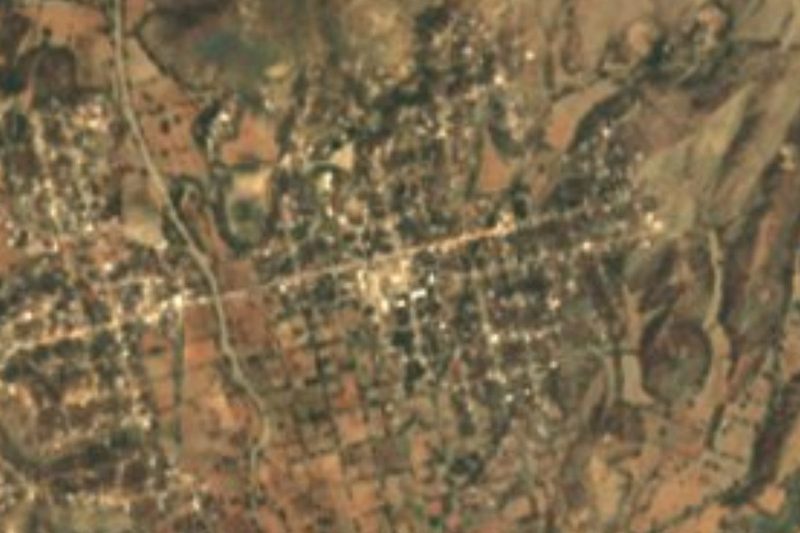
Santa Inés Ahuatempan lies in Puebla's Mixteca, about 100 km from Puebla city, roughly 1 h 45 min by car, between Tepexi de Rodríguez to the north and Acatlán to the south. Tehuacán is about 67 km away in a straight line.
Directions to Santa Inés Ahuatempan on Google Maps
Distances are in a straight line; the road is usually longer.
Links open a partner site. We may earn a commission if you book, at no cost to you.
From the nearest cities to Santa Inés Ahuatempan
- Atlixco · about 90 km by road, ~1 h 20 min
- Huajuapan de León · 99 km by road, 1 h 50 min
- Puebla · 113 km by road, 2 h
Drive times by road from OpenStreetMap, without traffic or stops. Times marked ~ are estimated from the straight-line distance.
Visiting Santa Inés Ahuatempan: what to see and do
The Mesa Carbajal, the municipality's highest tableland.
The source of the Acatlán River, here called the Santa Inés.
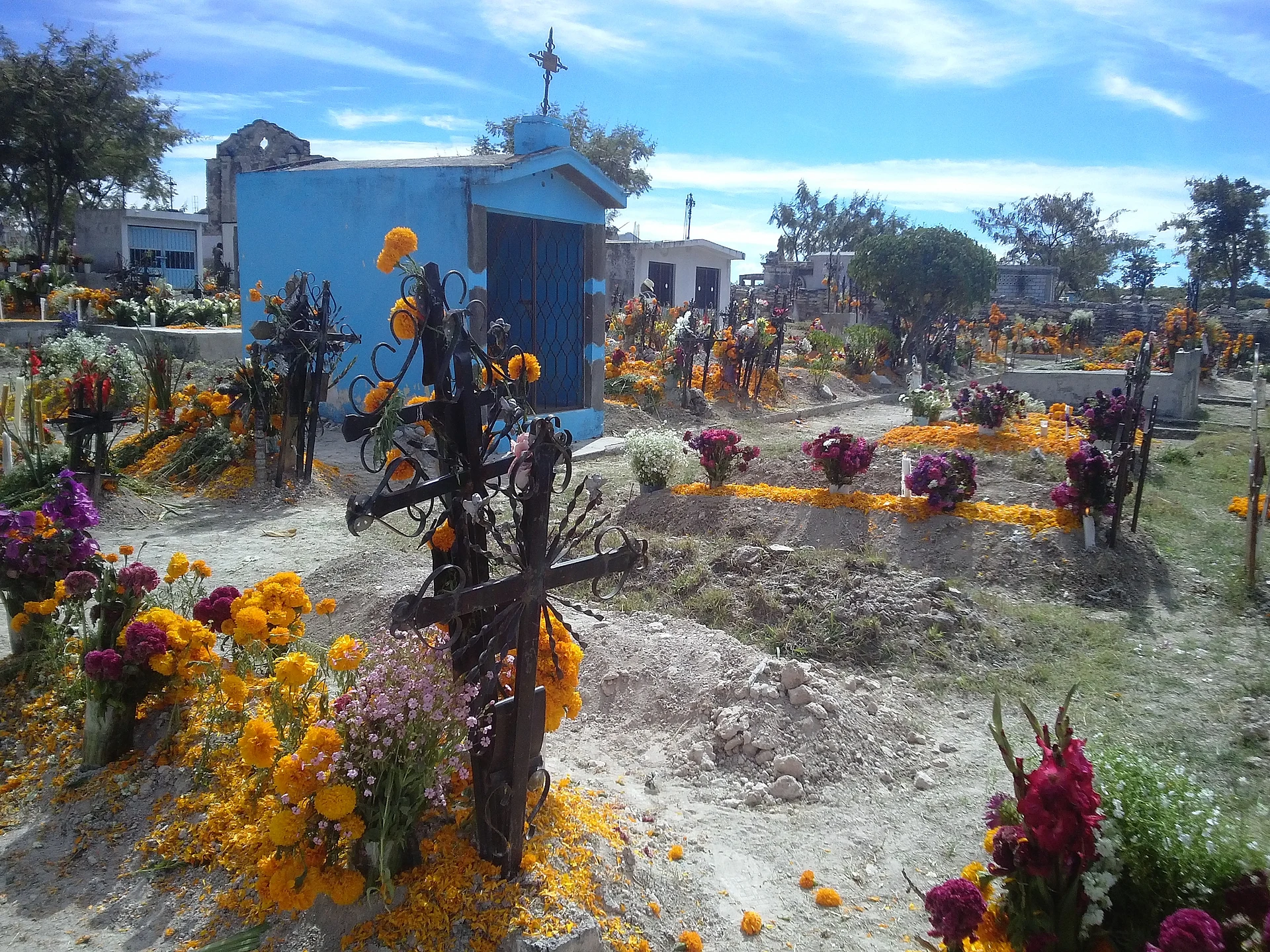
The village cemetery.
Pair it with Tepexi de Rodríguez to the north.
Plan your trip
Places to stay in Santa Inés Ahuatempan
Compare hotels, posadas, and rentals in and around Santa Inés Ahuatempan.
Tours & activities
Day trips around Atlixco sometimes stop in Santa Inés Ahuatempan; a tour is the easy way to see it without a car.
Rental cars
Pick up a car at PBC (Puebla): about 41 min by road to Atlixco, then 70 km more to Santa Inés Ahuatempan, on your own schedule.
Flights
The nearest airport with scheduled flights is Puebla (PBC), about 41 min by road from Atlixco, the base for Santa Inés Ahuatempan.
Mobile data
Signal can drop away from Atlixco: download a map of the way to Santa Inés Ahuatempan before you set out, or carry an eSIM with data.
Links open a partner site. We may earn a commission if you book, at no cost to you.
When to go to Santa Inés Ahuatempan mild
Santa Inés Ahuatempan shares the climate of Atlixco, 70 km away. The best months to visit are January, February, March, and December.
See the month-by-month climate of Atlixco
Weather in Santa Inés Ahuatempan now and the next 7 days
Live forecast from Open-Meteo. Chance of rain is the day's highest.
The closest Pueblo Mágico: Atlixco

Atlixco is the Pueblo Mágico closest to Santa Inés Ahuatempan, with places to stay, food, and more to see.
Also close to
- Cholula · Puebla · 78 km away
Closest to Santa Inés Ahuatempan
-
Almolonga · Village · 9 km away
-
San Felipe Otlaltepec · Village · 12 km away
-
San Vicente Boquerón · Village · 15 km away
-
Nativitas Cuautempan · Village · 17 km away
-
Alta Luz Cuatro Rayas · Village · 19 km away
-
San Vicente Coyotepec · Village · 20 km away
-
Xayacatlán de Bravo · Village · 20 km away
-
San Juan Ixcaquixtla · Town · 21 km away


Near Santa Inés Ahuatempan






Drive times by road from OpenStreetMap, without traffic. Times marked ~ are estimated from the straight-line distance.
Location from OpenStreetMap. Written by Puebloteca.