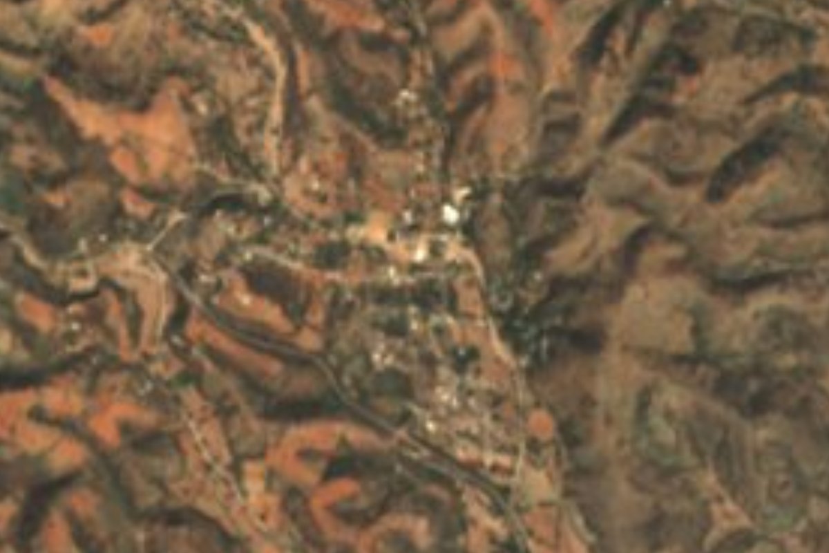
Village Acatlán, Puebla Municipality of Acatlán Mixteca Poblana
Acatlán village in the Mixteca, among dry forest and hills, that honours the Virgin of Guadalupe on 12 January, once the harvest is in.
From Huajuapan de León: 1 h 10 min by car (74 km by road) How to get there ↓
Near here
See everything nearby ↓



Plan your visit to San Bernardo
Where to stay near San Bernardo
Compare hotels, posadas and guest houses in San Bernardo.
Tours to San Bernardo
Day trips and guided outings from Atlixco often include San Bernardo; with a local guide you can get there without a car.
How to get to San Bernardo
- From Huajuapan de León: about 1 h 10 min by road (~74 km)
- Nearest airport: Puebla (PBC), 41 min by car to Atlixco
Links open a partner site. We may earn a commission if you book, at no cost to you.
About San Bernardo
In San Bernardo the Virgin of Guadalupe is celebrated a month late. Since nearly everyone farmed and was still busy in the fields in December, the town decided to move the feast to 12 January, after the harvest; locals now count it among the biggest celebrations in the region, with dawn serenades, masses and well-known bands. This Mixteca village is a junta auxiliar of the municipality of Acatlán and became one of its subdivisions on 3 April 1883 because of its closeness to Acatlán de Osorio. It sits at 1,272 metres; in 2020 it had 828 inhabitants, and counting the outlying settlements under it the total reached 1,472.
Its modern history revolves around land. The ejido was formed from the lands of the Tulapa hacienda, and a presidential resolution under Lázaro Cárdenas, published on 30 July 1935, handed 2,332 hectares of grazing land to 162 farmers. Two extensions followed, in 1941 and 1981, and the ejido now covers about 3,286 hectares. The first church of San Bernardo was built between 1936 and 1941 and now serves as the sanctuary for the Blessed Sacrament; in 1992 the parish of San Bernardo de Claraval was created, part of the diocese of Huajuapan de León. For posadas, the calenda procession and the Stations of the Cross the community divides into barrios with names like El Mimilte, La Cuchilla, Palo Amarrado and Los Ciruelos.
The landscape belongs to the Sierra Madre del Sur: heavily eroded metamorphic, igneous and sedimentary rock, rugged relief and tropical dry forest that drops almost all its leaves in the dry season. Copal, frangipani, organ cactus and jiotilla are common, and the hills hold armadillos, deer, iguanas, coyotes, roadrunners and rattlesnakes. The traditional milpa is planted from May to July with maize, beans, squash, peanuts, hibiscus and sesame, and harvested in November and December, while goats grazed on the open range are the main livestock. In the second half of the 20th century bentonite, white stone and talc were mined north of the village; those mines now lie abandoned.
How to get to San Bernardo
Drive from Huajuapan de León: 1 h 10 min, 74 km
San Bernardo is very close to Acatlán de Osorio, the municipal seat, in the heart of the Puebla Mixteca. It lies about 93 km in a straight line south of Puebla city, 85 km from Atlixco and 80 km from Tehuacán. It borders Hermenegildo Galeana to the north, Amatitlán de Azueta and San Pablo Anicano to the south and Ahuehuetitla to the west; the practical route is to reach Acatlán first.
Directions to San Bernardo on Google Maps
Distances are in a straight line; the road is usually longer.
Links open a partner site. We may earn a commission if you book, at no cost to you.
From the nearest cities to San Bernardo
- Huajuapan de León · 74 km by road, 1 h 10 min
- Tehuacán · about 105 km by road, ~1 h 30 min
- Atlixco · 112 km by road, 1 h 45 min
Drive times by road from OpenStreetMap, without traffic or stops. Times marked ~ are estimated from the straight-line distance.
Visiting San Bernardo: what to see and do
The parish church of San Bernardo de Claraval and, beside it, the original church of 1936-1941. The patron feast is on 20 August, with a calenda and floats from each barrio; 12 January is the Guadalupe feast, and on 1 and 2 November families set up altars and keep an all-night vigil at the cemetery, decked with marigolds and cockscomb. All around are the Mixteca dry forest and Mimilte hill.
Plan your trip
Places to stay in San Bernardo
Compare hotels, posadas, and rentals in and around San Bernardo.
Tours & activities
Day trips and guided outings from Atlixco often include San Bernardo; with a local guide you can get there without a car.
Rental cars
Pick up a car at PBC (Puebla): about 41 min by road to Atlixco, then 85 km more to San Bernardo, on your own schedule.
Flights
The nearest airport with scheduled flights is Puebla (PBC), about 41 min by road from Atlixco, the base for San Bernardo.
Mobile data
Signal can drop away from Atlixco: download a map of the way to San Bernardo before you set out, or carry an eSIM with data.
Links open a partner site. We may earn a commission if you book, at no cost to you.
When to go to San Bernardo mild
San Bernardo shares the climate of Atlixco, 85 km away. The best months to visit are January, February, March, and December.
See the month-by-month climate of Atlixco
Weather in San Bernardo now and the next 7 days
Live forecast from Open-Meteo. Chance of rain is the day's highest.
The closest Pueblo Mágico: Atlixco

Atlixco is the Pueblo Mágico closest to San Bernardo, with places to stay, food, and more to see.
Closest to San Bernardo
-
Amatitlán de Azueta · Village · 5 km away
-
Acatlán de Osorio · Town · 6 km away
-
San Vicente Boquerón · Village · 9 km away
-
San Pablo Anicano · Village · 10 km away
-
San Pedro Yeloixtlahuaca · Village · 11 km away
-
Ahuehuetitla · Village · 12 km away
-
Xayacatlán de Bravo · Village · 14 km away
-
Chinantla · Village · 17 km away

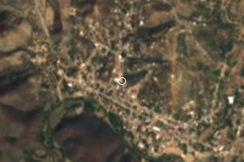
Near San Bernardo





Drive times by road from OpenStreetMap, without traffic. Times marked ~ are estimated from the straight-line distance.
Location from OpenStreetMap. Written by Puebloteca.