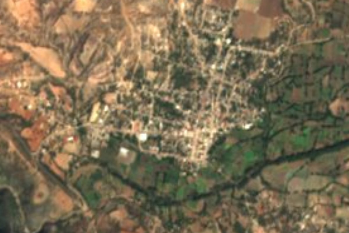
Village Petlalcingo, Puebla Municipality of Petlalcingo Mixteca Poblana
Municipal seat in Puebla's Lower Mixteca, at the foot of Cerro Petlalcingo, beside the Oaxaca line.
From Huajuapan de León: 40 min by car (41 km by road) How to get there ↓
Near here
See everything nearby ↓



Plan your visit to Petlalcingo
Where to stay near Petlalcingo
Compare hotels, posadas and guest houses in Petlalcingo.
Tours to Petlalcingo
Day trips and guided outings from Teposcolula often include Petlalcingo; with a local guide you can get there without a car.
How to get to Petlalcingo
- From Huajuapan de León: about 40 min by road (~41 km)
- Nearest airport: Oaxaca (OAX), 1 h 45 min by car to Teposcolula
Links open a partner site. We may earn a commission if you book, at no cost to you.
About Petlalcingo
Petlalcingo, seat of its own municipality, sits at the far southern tip of Puebla, right on the Oaxaca line, in the area known as the Lower Mixteca. The name is Nahuatl and roughly means place of little petates, or fine mats, an image carried by the municipal coat of arms. The 2010 census gave the town 2,621 residents, at about 1,360 metres above sea level.
According to the history compiled by Mexico's municipal-development institute, INAFED, the town was founded by Mixtec groups on the slopes of Cerro Petlalcingo, where an extensive lagoon lay. The first settlers channelled the water away until the ground was firm enough for houses, on the spot where the town stands today. It became a free municipality in 1895.
The Sierra Mixteca frames the landscape. To the northeast the hills Calahuate, Xicúi and Santa Rosa mark the boundary with San Jerónimo Xayacatlán and Totoltepec, and to the north opens the small alluvial Acatlán valley. The Petlalcingo river runs through the municipality, a tributary of the Acatlán and part of the Atoyac-Balsas basin. The municipality covers about 234 km² and rises from 1,200 to 2,000 metres; it borders Huajuapan de León and other Oaxacan municipalities. As across much of the Mixteca, many people have emigrated, mostly to the United States, and that shapes everyday life. Among the municipality's other communities are San Pedro Yeloixtlahuaca and El Rosario Micaltepec.
How to get to Petlalcingo
Drive from Huajuapan de León: 40 min, 41 km
Petlalcingo lies at the southern tip of Puebla, on the Oaxaca line, and the district of Acatlán de Osorio to the north is the regional reference point: its electoral district is seated there. From Tehuacán the estimated trip is 80 minutes, about 70 km in a straight line. On the Oaxaca side, the municipality of Huajuapan de León borders Petlalcingo, so the town can also be reached from there. For buses and colectivos no fixed timetable is published: ask at Puebla's CAPU, Tehuacán's terminal, or the terminals in Acatlán de Osorio and Huajuapan about which lines cover the last stretch.
Directions to Petlalcingo on Google Maps
Distances are in a straight line; the road is usually longer.
Links open a partner site. We may earn a commission if you book, at no cost to you.
From the nearest cities to Petlalcingo
- Huajuapan de León · 41 km by road, 40 min
- Tlapa · about 120 km by road, ~1 h 45 min
- Tehuacán · 114 km by road, 2 h
Drive times by road from OpenStreetMap, without traffic or stops. Times marked ~ are estimated from the straight-line distance.
Visiting Petlalcingo: what to see and do
Cerro Petlalcingo, at whose foot the town was founded
The municipal coat of arms, which depicts the mats of the name
The Petlalcingo river, a tributary of the Acatlán
The hills Calahuate, Xicúi and Santa Rosa to the northeast
El Rosario Micaltepec and San Pedro Yeloixtlahuaca, neighbouring communities
Plan your trip
Places to stay in Petlalcingo
Compare hotels, posadas, and rentals in and around Petlalcingo.
Tours & activities
Day trips and guided outings from Teposcolula often include Petlalcingo; with a local guide you can get there without a car.
Rental cars
Pick up a car at OAX (Oaxaca): about 1 h 45 min by road to Teposcolula, then 78 km more to Petlalcingo, on your own schedule.
Flights
The nearest airport with scheduled flights is Oaxaca (OAX), about 1 h 45 min by road from Teposcolula, the base for Petlalcingo.
Mobile data
Signal can drop away from Teposcolula: download a map of the way to Petlalcingo before you set out, or carry an eSIM with data.
Links open a partner site. We may earn a commission if you book, at no cost to you.
When to go to Petlalcingo cool
Petlalcingo shares the climate of Teposcolula, 78 km away. The best months to visit are January, February, March, and December.
See the month-by-month climate of Teposcolula
Weather in Petlalcingo now and the next 7 days
Live forecast from Open-Meteo. Chance of rain is the day's highest.
The closest Pueblo Mágico: Teposcolula

Teposcolula is the Pueblo Mágico closest to Petlalcingo, with places to stay, food, and more to see.
Closest to Petlalcingo
-
El Rosario Micaltepec · Village · 8 km away
-
Texcalapa de Juárez · Village · 8 km away
-
Chila · Village · 14 km away
-
San Jerónimo Xayacatlán · Village · 16 km away
-
San José Ayuquila · Town · 17 km away
-
San Pedro Yeloixtlahuaca · Village · 17 km away
-
Totoltepec de Guerrero · Village · 17 km away
-
San Pablo Anicano · Village · 18 km away
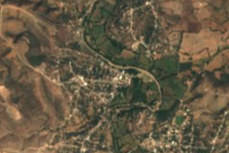
Near Petlalcingo

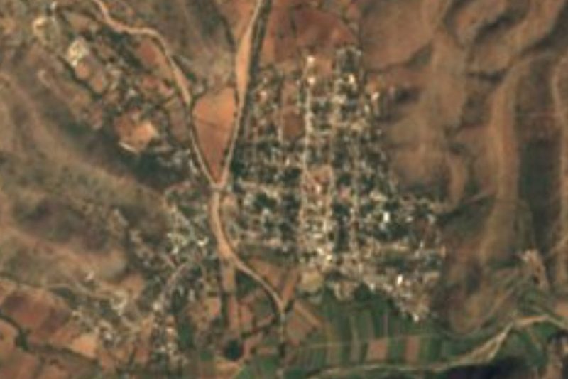
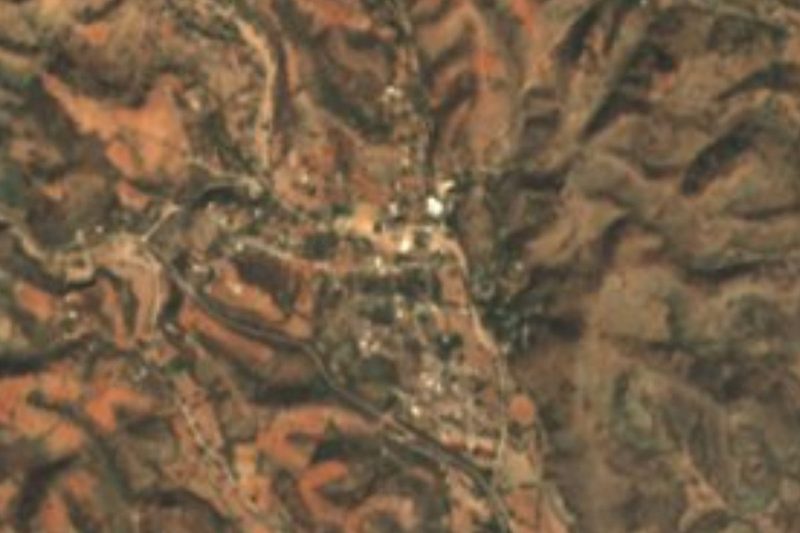
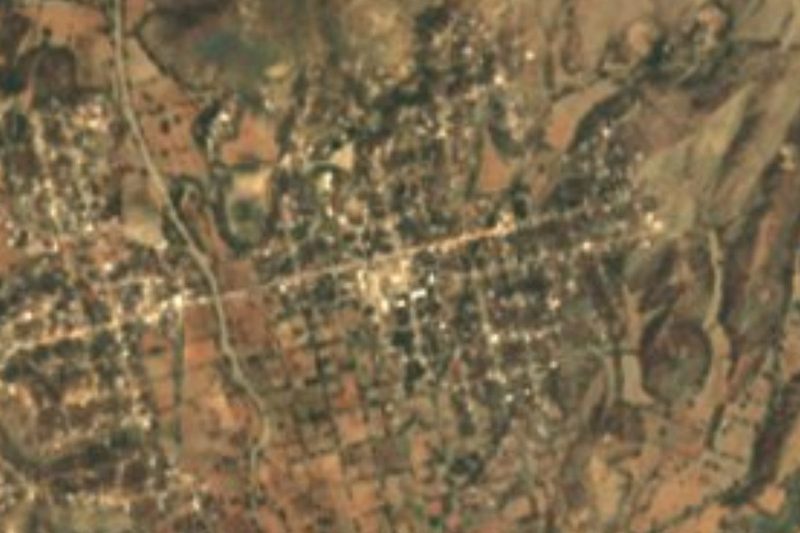


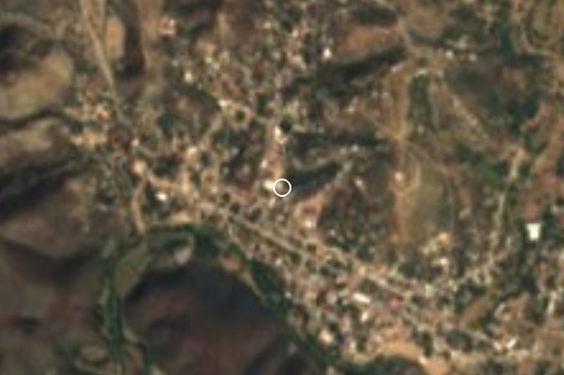
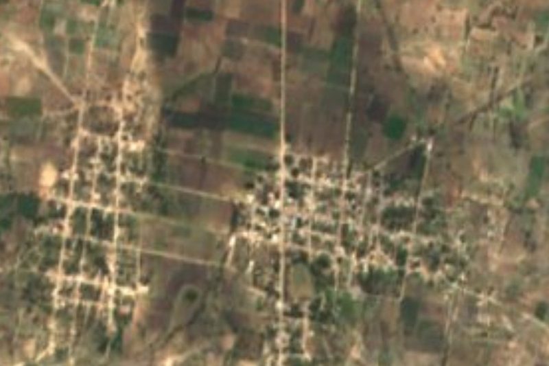
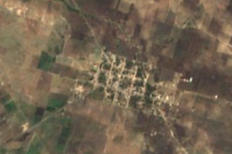
Drive times by road from OpenStreetMap, without traffic. Times marked ~ are estimated from the straight-line distance.
Location from OpenStreetMap. Written by Puebloteca.