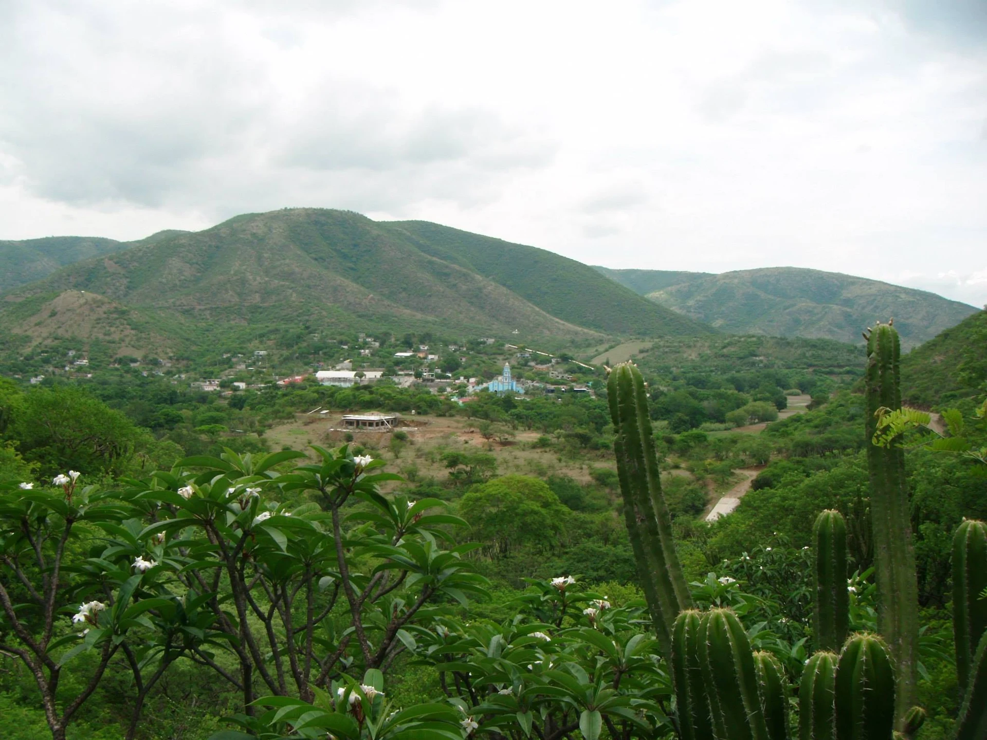
Village Xayacatlán de Bravo, Puebla Mixteca Poblana
Mixtec village in Puebla's lower Mixteca, next to Acatlán, with a 17th-century church of Our Lady of Ocotlán and a home-centred Day of the Dead.
From Huajuapan de León: 1 h 15 min by car (79 km by road) How to get there ↓
Near here
See everything nearby ↓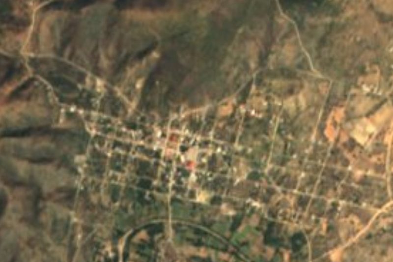

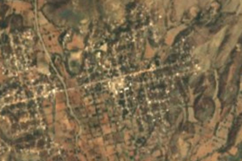
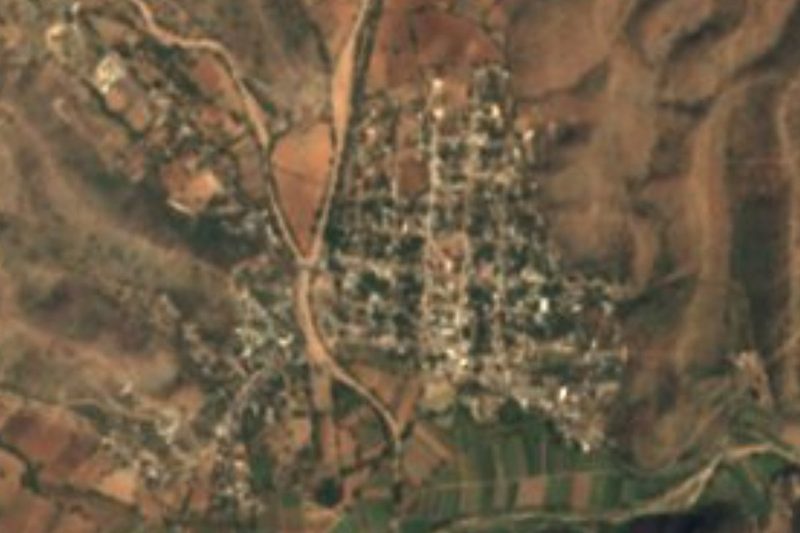
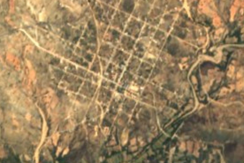
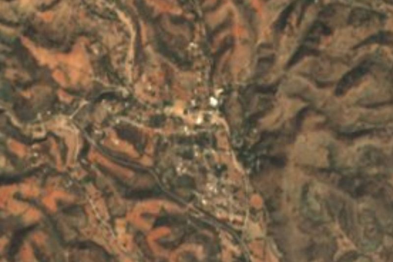
Plan your visit to Xayacatlán de Bravo
Where to stay near Xayacatlán de Bravo
Compare hotels, posadas and guest houses in Xayacatlán de Bravo.
Tours to Xayacatlán de Bravo
Day trips and guided outings from Atlixco often include Xayacatlán de Bravo; with a local guide you can get there without a car.
 Tours from Atlixco
Atlixco Volcano Views Popocatépetl Tour Forest Route
From US$108
How to get to Xayacatlán de Bravo
- From Huajuapan de León: about 1 h 15 min by road (~79 km)
- Nearest airport: Puebla (PBC), 41 min by car to Atlixco
Links open a partner site. We may earn a commission if you book, at no cost to you.
Tours from Atlixco, near Xayacatlán de Bravo
Tours, prices and ratings from Viator, checked weekly. We may earn a commission if you book.
About Xayacatlán de Bravo
In Xayacatlán de Bravo the Day of the Dead is spent not at the cemetery but at home. The ofrenda works as a meal served to the souls in courses: in the morning, coffee and a pozole of ground pumpkin seed with hierba santa, with totopos; at midday huaxmole, a mole of dried goat with guajillo chile, avocado leaf and guaje seed that starts cooking days ahead; in the afternoon xatos, triangular masa tortillas, and for supper enfrijoladas, known here as dìtànduchi. There is red sugar-dusted bread, clay jars of water, aguardiente cured with wormwood, fruit from the milpa, copal and candles, and the dead are believed to leave at two in the morning, when the food is shared among the living.
The village, seat of its municipality, had 1,079 people in 2020 and stands at about 1,250 m in Puebla's lower Mixteca. Its Nahuatl name joins xalli, sand, and yacatl, point or corner, with the locative tlan: "near the sandy corner". The municipality was founded in 1930, covers about 60 km² and had 1,570 residents in 2020; it borders Santa Inés Ahuatempan to the north, San Jerónimo Xayacatlán to the west and Acatlán to the south. Some six hundred people speak Mixtec or Nahuatl. The 17th-century parish church of the Virgin of Ocotlán keeps the style of its period, and the municipal brass band is part of village life.
The landscape is hills under dry tropical forest, which covers almost 70% of the land, with pasture on a quarter and very little farmland. The climate is semi-warm, averaging 18 to 24 °C with 700 to 900 mm of summer rain, and the water drains to the Acatlán River in the Balsas basin. Every part of the goat is used: the dried meat goes into huaxmole and the hides are laid out in the sun. Local hands paint gourds and gourd toys, weave reed baskets and, less and less, palm hats, mats and tenates, and carve stone metates and molcajetes; black or navy rebozos are still worn. Besides mole, pipián and tamales there are fruit preserves and palanquetas, jobo infusion and aguardiente.
How to get to Xayacatlán de Bravo
Drive from Huajuapan de León: 1 h 15 min, 79 km
The connection is through Acatlán de Osorio, about 8 km south in a straight line. Autobuses Oro runs from Puebla's CAPU to Acatlán every three hours, taking about 3 hours on the México–Oaxaca federal highway; you can also change at Izúcar de Matamoros. From Tehuacán it is about 105 km by road, around 1 h 40 min. Cover the last stretch by local transport or taxi.
Directions to Xayacatlán de Bravo on Google Maps
Distances are in a straight line; the road is usually longer.
Links open a partner site. We may earn a commission if you book, at no cost to you.
From the nearest cities to Xayacatlán de Bravo
- Huajuapan de León · 79 km by road, 1 h 15 min
- Puebla · about 120 km by road, ~1 h 45 min
- Tehuacán · 106 km by road, 1 h 55 min
Drive times by road from OpenStreetMap, without traffic or stops. Times marked ~ are estimated from the straight-line distance.
Visiting Xayacatlán de Bravo: what to see and do
The home Day of the Dead ofrendas, with huaxmole and xatos (ask before entering or taking photos).
The 17th-century church of the Virgin of Ocotlán.
Painted gourds, reed baskets and stone metates.
The dry-forest hills around the village.
Acatlán de Osorio, to the south.
Plan your trip
Places to stay in Xayacatlán de Bravo
Compare hotels, posadas, and rentals in and around Xayacatlán de Bravo.
Tours & activities
Day trips and guided outings from Atlixco often include Xayacatlán de Bravo; with a local guide you can get there without a car.
Rental cars
Pick up a car at PBC (Puebla): about 41 min by road to Atlixco, then 89 km more to Xayacatlán de Bravo, on your own schedule.
Flights
The nearest airport with scheduled flights is Puebla (PBC), about 41 min by road from Atlixco, the base for Xayacatlán de Bravo.
Mobile data
Signal can drop away from Atlixco: download a map of the way to Xayacatlán de Bravo before you set out, or carry an eSIM with data.
Links open a partner site. We may earn a commission if you book, at no cost to you.
When to go to Xayacatlán de Bravo mild
Xayacatlán de Bravo shares the climate of Atlixco, 89 km away. The best months to visit are January, February, March, and December.
See the month-by-month climate of Atlixco
Weather in Xayacatlán de Bravo now and the next 7 days
Live forecast from Open-Meteo. Chance of rain is the day's highest.
The closest Pueblo Mágico: Atlixco

Atlixco is the Pueblo Mágico closest to Xayacatlán de Bravo, with places to stay, food, and more to see.
Closest to Xayacatlán de Bravo
-
San Jerónimo Xayacatlán · Village · 7 km away
-
Acatlán de Osorio · Town · 9 km away
-
San Vicente Boquerón · Village · 10 km away
-
Amatitlán de Azueta · Village · 13 km away
-
Totoltepec de Guerrero · Village · 13 km away
-
San Bernardo · Village · 14 km away
-
San Pablo Anicano · Village · 17 km away
-
San Pedro Yeloixtlahuaca · Village · 17 km away
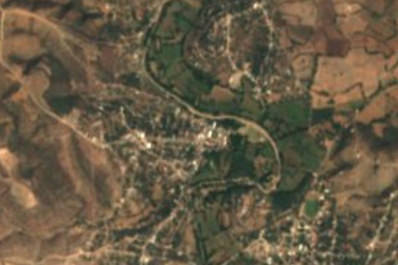

Near Xayacatlán de Bravo
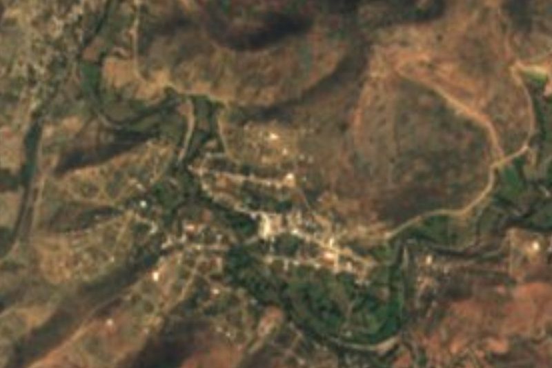


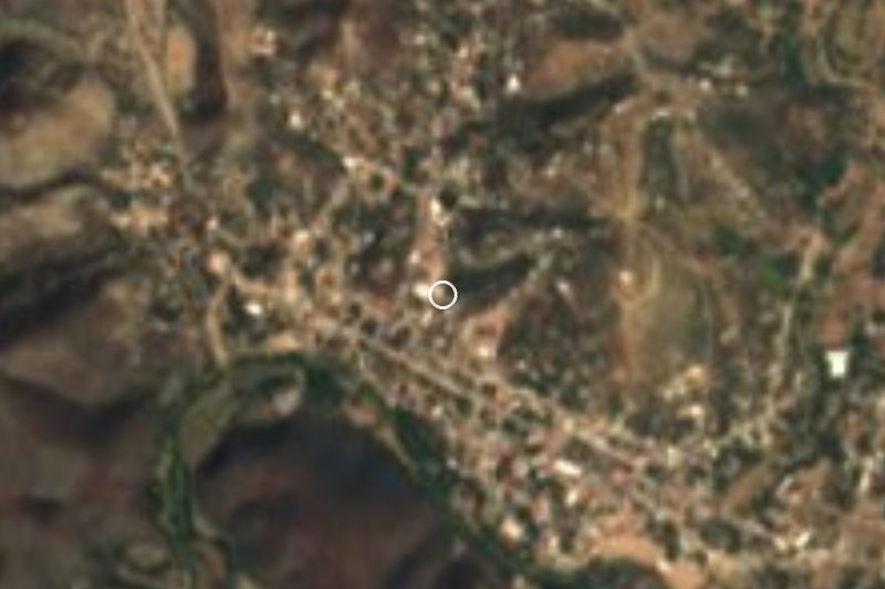


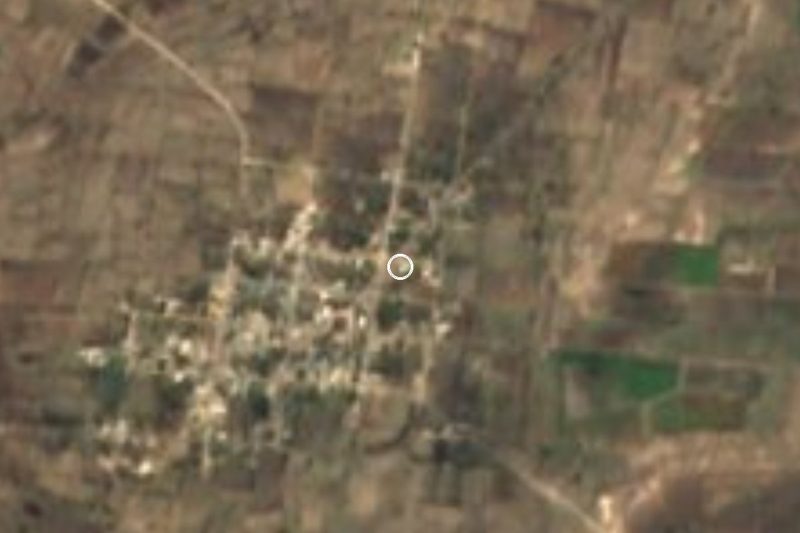
Drive times by road from OpenStreetMap, without traffic. Times marked ~ are estimated from the straight-line distance.
Location from OpenStreetMap. Written by Puebloteca.