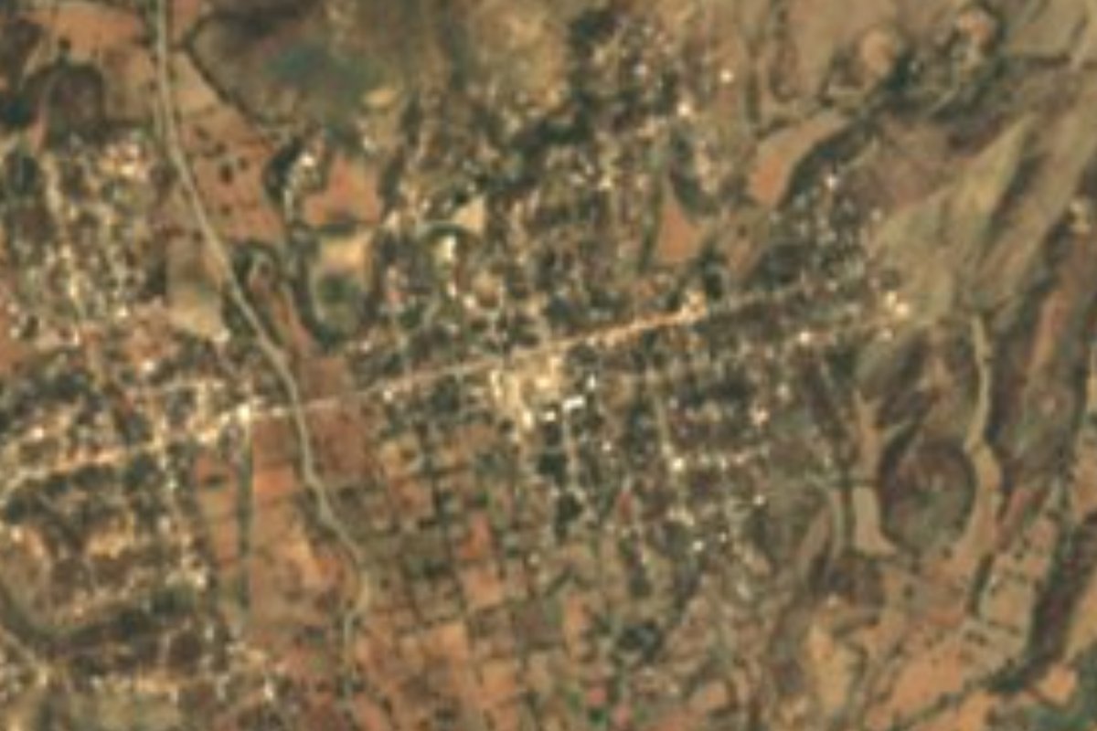
Village Acatlán, Puebla Municipality of Acatlán Mixteca Poblana
Mixteca village north of Acatlán, founded in 1918 by Zapatista farmers who fought to split up the land of a hacienda.
From Huajuapan de León: 1 h 15 min by car (74 km by road) How to get there ↓
Near here
See everything nearby ↓


Plan your visit to San Vicente Boquerón
Where to stay near San Vicente Boquerón
Compare hotels, posadas and guest houses in San Vicente Boquerón.
Tours to San Vicente Boquerón
Day trips and guided outings from Atlixco often include San Vicente Boquerón; with a local guide you can get there without a car.
 Tours from Atlixco
Atlixco Volcano Views Popocatépetl Tour Forest Route
From US$108
How to get to San Vicente Boquerón
- From Huajuapan de León: about 1 h 15 min by road (~74 km)
- Nearest airport: Puebla (PBC), 41 min by car to Atlixco
Links open a partner site. We may earn a commission if you book, at no cost to you.
Tours from Atlixco, near San Vicente Boquerón
Tours, prices and ratings from Viator, checked weekly. We may earn a commission if you book.
About San Vicente Boquerón
San Vicente Boquerón was born of the Revolution. Before, there was a hamlet here called El Boquerón, tucked inside the vast estates of large landowners; in 1918, with the war still raging, the farmers José G. Herrera and Román Rosas, followers of Zapata's ideals, led the fight to divide those lands and built the village that stands today. In 2020 it was home to 2,951 people, at about 1,272 metres above sea level, in Puebla's Mixteca region. It lies some 10 km north of Acatlán de Osorio, the municipal seat, linked to it by a paved road; Puebla city is about 86 km away in a straight line and Tehuacán 73.
Acatlán municipality is hot country compared with the central valleys. Average temperatures run from 18 to 26 °C and 700 to 900 mm of rain, with a warm, semi-humid climate over a little more than half the territory and a semi-arid one over another quarter. More than half the surface is covered by tropical forest, while farming takes up a quarter. Everything drains to the Balsas basin: the Acatlán and Mixteco rivers flow all year, and among the seasonal streams is one called Boquerones, whose name echoes this village's. Besides Spanish, Mixtec, Nahuatl and other Indigenous languages are spoken in the municipality.
The seat holds what visitors usually see in the area: a sundial carved in marble, statues of Benito Juárez and Miguel Hidalgo, and the archaeological remains at the site called El Zapote. Agrarian memory also lives in the local music, which keeps waltzes such as "El susto del Zapatismo" by Antonio Treviño alongside "Viva Acatlán" by Fidel González. The municipality's artisans work clay and weave palm hats. To eat there is mole poblano, tamales, chilates and tempezquixtles; for something sweet, palanqueta and jamoncillo, and for a toast, aguardiente on its own or mixed with jobo, the region's wild plum.
How to get to San Vicente Boquerón
Drive from Huajuapan de León: 1 h 15 min, 74 km
The way in is through Acatlán de Osorio: from there a paved road of about 10 km heads north to the village. Acatlán is reached from Puebla on federal highway 190 via Izúcar de Matamoros, and buses leave Puebla's CAPU terminal for Acatlán and Huajuapan; in Acatlán a taxi or shared van covers the last stretch.
Directions to San Vicente Boquerón on Google Maps
Distances are in a straight line; the road is usually longer.
Links open a partner site. We may earn a commission if you book, at no cost to you.
From the nearest cities to San Vicente Boquerón
- Huajuapan de León · 74 km by road, 1 h 15 min
- Puebla · about 110 km by road, ~1 h 40 min
- Tlapa · about 130 km by road, ~1 h 55 min
Drive times by road from OpenStreetMap, without traffic or stops. Times marked ~ are estimated from the straight-line distance.
Visiting San Vicente Boquerón: what to see and do
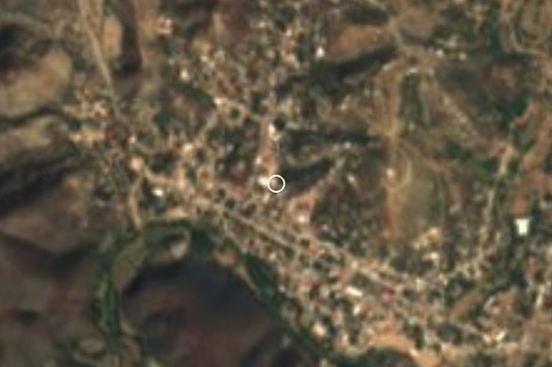
The agrarian village of San Vicente Boquerón and its hills of dry forest.
In Acatlán de Osorio: the marble sundial and the statues of Juárez and Hidalgo.
The archaeological remains at El Zapote.
The area's clay pieces and palm hats.
Plan your trip
Places to stay in San Vicente Boquerón
Compare hotels, posadas, and rentals in and around San Vicente Boquerón.
Tours & activities
Day trips and guided outings from Atlixco often include San Vicente Boquerón; with a local guide you can get there without a car.
Rental cars
Pick up a car at PBC (Puebla): about 41 min by road to Atlixco, then 81 km more to San Vicente Boquerón, on your own schedule.
Flights
The nearest airport with scheduled flights is Puebla (PBC), about 41 min by road from Atlixco, the base for San Vicente Boquerón.
Mobile data
Signal can drop away from Atlixco: download a map of the way to San Vicente Boquerón before you set out, or carry an eSIM with data.
Links open a partner site. We may earn a commission if you book, at no cost to you.
When to go to San Vicente Boquerón mild
San Vicente Boquerón shares the climate of Atlixco, 81 km away. The best months to visit are January, February, March, and December.
See the month-by-month climate of Atlixco
Weather in San Vicente Boquerón now and the next 7 days
Live forecast from Open-Meteo. Chance of rain is the day's highest.
The closest Pueblo Mágico: Atlixco

Atlixco is the Pueblo Mágico closest to San Vicente Boquerón, with places to stay, food, and more to see.
Closest to San Vicente Boquerón
-
Acatlán de Osorio · Town · 9 km away
-
San Bernardo · Village · 9 km away
-
Xayacatlán de Bravo · Village · 10 km away
-
Amatitlán de Azueta · Village · 12 km away
-
Santa Inés Ahuatempan · Town · 15 km away
-
San Jerónimo Xayacatlán · Village · 16 km away
-
San Pablo Anicano · Village · 18 km away
-
San Pedro Yeloixtlahuaca · Village · 18 km away
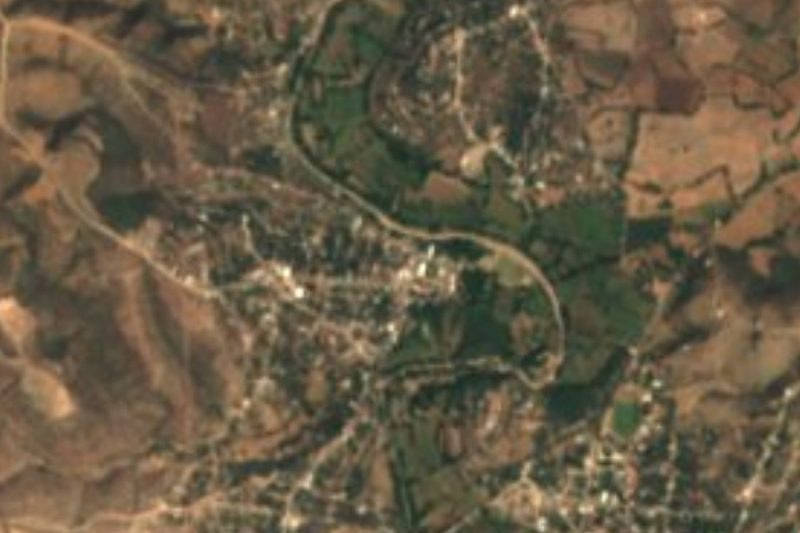

Near San Vicente Boquerón





Drive times by road from OpenStreetMap, without traffic. Times marked ~ are estimated from the straight-line distance.
Location from OpenStreetMap. Written by Puebloteca.