Village Tecomatlán, Puebla Mixteca Poblana
Mixteca Baja town among dry forest and rivers, host every year of the national Espartaqueada sports and culture games.
From Tlapa: 1 h 30 min by car (95 km by road) How to get there ↓
Near here
See everything nearby ↓

Plan your visit to Tecomatlán
Where to stay near Tecomatlán
Compare hotels, posadas and guest houses in Tecomatlán.
Tours to Tecomatlán
Day trips and guided outings from Atlixco often include Tecomatlán; with a local guide you can get there without a car.
 Tours from Atlixco
Atlixco Volcano Views Popocatépetl Tour Forest Route
From US$108
How to get to Tecomatlán
- From Tlapa: about 1 h 30 min by road (~95 km)
- Nearest airport: Puebla (PBC), 41 min by car to Atlixco
Links open a partner site. We may earn a commission if you book, at no cost to you.
Tours from Atlixco, near Tecomatlán
Tours, prices and ratings from Viator, checked weekly. We may earn a commission if you book.
About Tecomatlán
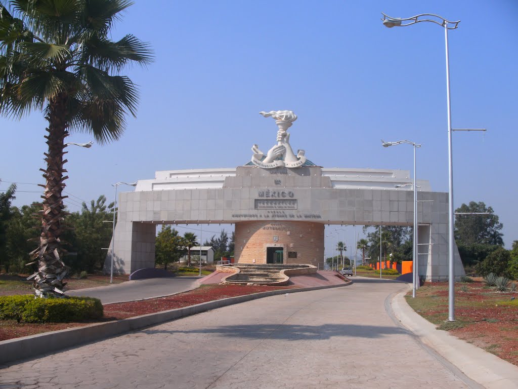
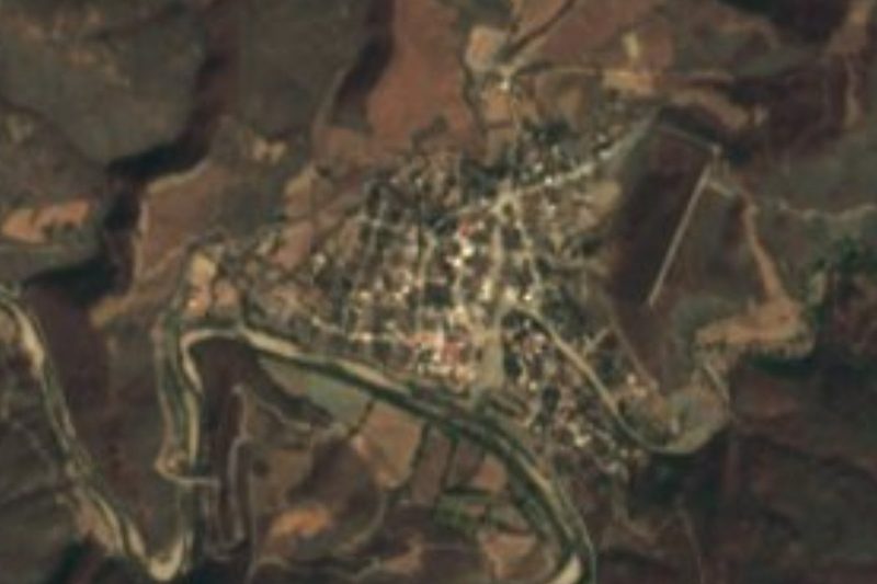
Every year Tecomatlán hosts the Espartaqueada Nacional Cultural y Deportiva, a kind of olympics of sport and the arts run by the Antorchista Movement. For decades the municipality has been governed through collective participation coordinated by that organisation, which holds it up as a model of development in one of the country's poorest regions; the monumental arch in the photo, at the entrance to town, is part of that image. The town had 3,706 people in 2020 and lies at 920 metres in the south of the state, some 104 km in a straight line south of the capital.
The name comes from Nahuatl and refers to the tecomate: a tree with round, hard-shelled fruits 15 to 30 cm across that are hollowed out to store water and keep it cool. Another reading translates it as "place of stone pots", from tecómitl. The municipality covers about 181 km², borders Piaxtla, Tulcingo, Chila de la Sal and Axutla, and even has a detached piece by the Oaxaca line, cut off from the rest by Piaxtla and Tulcingo. It belongs to the Puebla Mixteca Baja, in the Acatlán valley, where the Acatlán and Mixteco rivers run between the foothills of the sierras.
It is hot here: averages run from 20 to 26 °C, rainfall is 800 to 1,000 mm and almost the whole territory is very hot and semi-arid. Seven in ten hectares are low deciduous forest, which drops its leaves in the dry season and greens up with the rains; only about a quarter is farmed. The baroque parish church in the town is the municipality's most notable monument. On the table there is mole poblano and goat barbacoa, and the town's brass band provides the music at festivals.
How to get to Tecomatlán
Drive from Tlapa: 1 h 30 min, 95 km
Tecomatlán lies in the Puebla Mixteca, about 104 km in a straight line from Puebla city and 90 km from Atlixco. By road, head down through Izúcar de Matamoros toward Acatlán de Osorio and continue toward Piaxtla, the municipality that wraps around it to the north and east. Bring water: the valley heat is serious.
Directions to Tecomatlán on Google Maps
Distances are in a straight line; the road is usually longer.
Links open a partner site. We may earn a commission if you book, at no cost to you.
From the nearest cities to Tecomatlán
- Tlapa · 95 km by road, 1 h 30 min
- Huajuapan de León · 111 km by road, 1 h 45 min
- Atlixco · 115 km by road, 1 h 45 min
Drive times by road from OpenStreetMap, without traffic or stops. Times marked ~ are estimated from the straight-line distance.
Visiting Tecomatlán: what to see and do
The monumental arch at the entrance to town.
The baroque parish church in the town centre.
The Espartaqueada, if your visit matches its dates.
The low deciduous forest and the Acatlán and Mixteco rivers of the valley.
Plan your trip
Places to stay in Tecomatlán
Compare hotels, posadas, and rentals in and around Tecomatlán.
Tours & activities
Day trips and guided outings from Atlixco often include Tecomatlán; with a local guide you can get there without a car.
Rental cars
Pick up a car at PBC (Puebla): about 41 min by road to Atlixco, then 90 km more to Tecomatlán, on your own schedule.
Flights
The nearest airport with scheduled flights is Puebla (PBC), about 41 min by road from Atlixco, the base for Tecomatlán.
Mobile data
Signal can drop away from Atlixco: download a map of the way to Tecomatlán before you set out, or carry an eSIM with data.
Links open a partner site. We may earn a commission if you book, at no cost to you.
When to go to Tecomatlán mild
Tecomatlán shares the climate of Atlixco, 90 km away. The best months to visit are January, February, March, and December.
See the month-by-month climate of Atlixco
Weather in Tecomatlán now and the next 7 days
Live forecast from Open-Meteo. Chance of rain is the day's highest.
The closest Pueblo Mágico: Atlixco

Atlixco is the Pueblo Mágico closest to Tecomatlán, with places to stay, food, and more to see.
Closest to Tecomatlán
-
Chinantla · Village · 11 km away
-
Piaxtla · Village · 11 km away
-
Axutla · Village · 12 km away
-
Ahuehuetitla · Village · 15 km away
-
Tulcingo de Valle · Village · 15 km away
-
Chila de la Sal · Village · 18 km away
-
Xicotlán · Village · 23 km away
-
San Pablo Anicano · Village · 24 km away
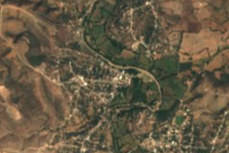
Near Tecomatlán

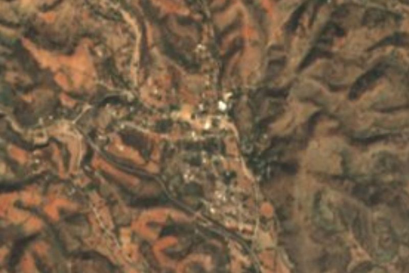
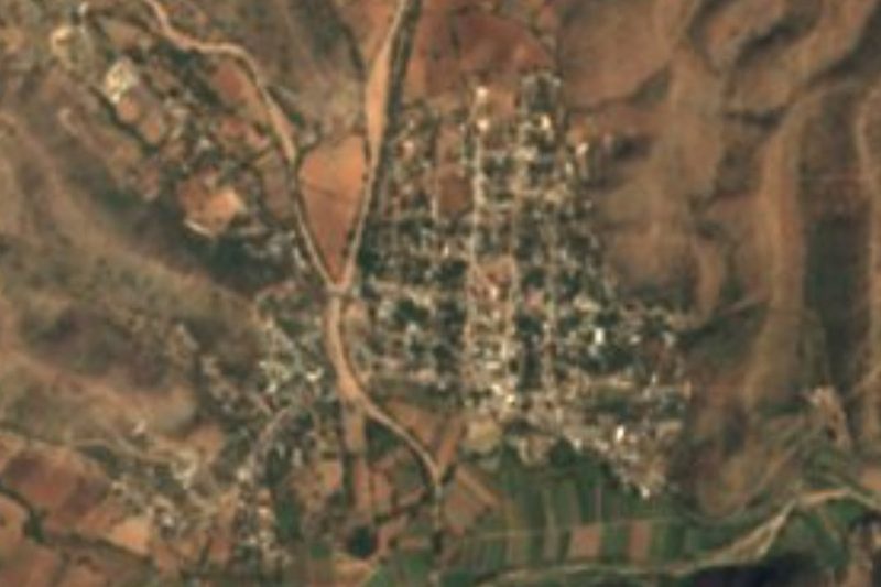


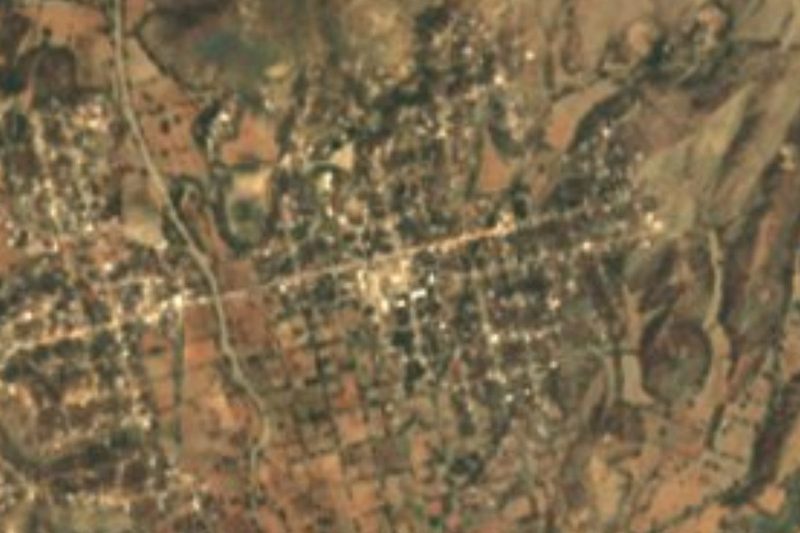


Drive times by road from OpenStreetMap, without traffic. Times marked ~ are estimated from the straight-line distance.
Location from OpenStreetMap. Written by Puebloteca.