

Village Albino Zertuche, Puebla Mixteca Poblana
Village in Puebla's Mixteca on the Guerrero line, "field of reeds", seat of one of the state's least populated municipalities.
From Tlapa: 1 h 25 min by car (81 km by road) How to get there ↓
Near here
See everything nearby ↓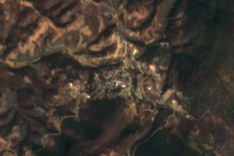

Plan your visit to Acaxtlahuacán de Albino Zertuche
Where to stay near Acaxtlahuacán de Albino Zertuche
Compare hotels, posadas and guest houses in Acaxtlahuacán de Albino Zertuche.
Tours to Acaxtlahuacán de Albino Zertuche
Day trips and guided outings from Tlaltizapán often include Acaxtlahuacán de Albino Zertuche; with a local guide you can get there without a car.
 Tours from Atlixco
Atlixco Volcano Views Popocatépetl Tour Forest Route
From US$108
How to get to Acaxtlahuacán de Albino Zertuche
- From Tlapa: about 1 h 25 min by road (~81 km)
- Nearest airport: Mexico City (MEX), 1 h 55 min by car to Tlaltizapán
Links open a partner site. We may earn a commission if you book, at no cost to you.
Tours from Atlixco, near Acaxtlahuacán de Albino Zertuche
Tours, prices and ratings from Viator, checked weekly. We may earn a commission if you book.
About Acaxtlahuacán de Albino Zertuche
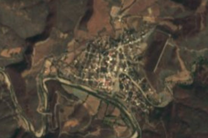
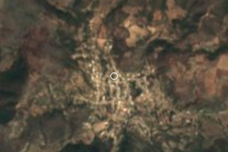
Acaxtlahuacán de Albino Zertuche is the seat of the municipality of Albino Zertuche, at the southern tip of Puebla in the Mixteca, right against the state of Guerrero, which wraps around it to the east and south. To the north it borders Ixcamilpa de Guerrero, Xicotlán and Tulcingo. The name Acaxtlahuacán comes from the Nahuatl acatl, reed, ixtlahuatl, plain, and can, place: "field of reeds". The surname honours General Albino Zertuche Garza, who fought on the liberal side in the Reform War and the French Intervention; the municipality was created on 1 October 1900.
It is one of the least populated municipalities in the state: about 80 km² and 1,770 people in 2010, nearly all of them in the village, which had 1,782 in 2020. The village stands at about 1,260 m, and the land ranges from 900 to 1,800 m. The climate is semi-dry and hot across almost the whole municipality, with mean temperatures of 19 to 25 °C and 700 to 900 mm of rain a year. There are no rivers, only seasonal streams draining to the Atoyac, in the Balsas region.
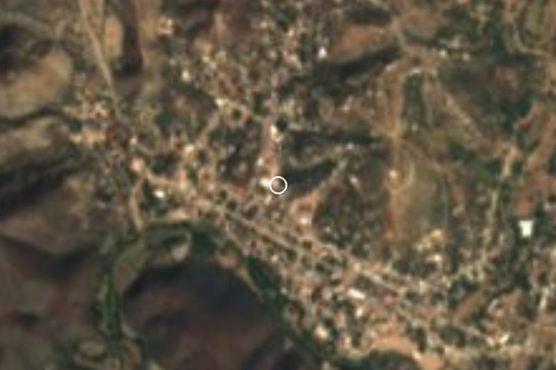
A small hill next to the village serves as a lookout over the church and the houses among the dry hills of the Mixteca.
How to get to Acaxtlahuacán de Albino Zertuche
Drive from Tlapa: 1 h 25 min, 81 km
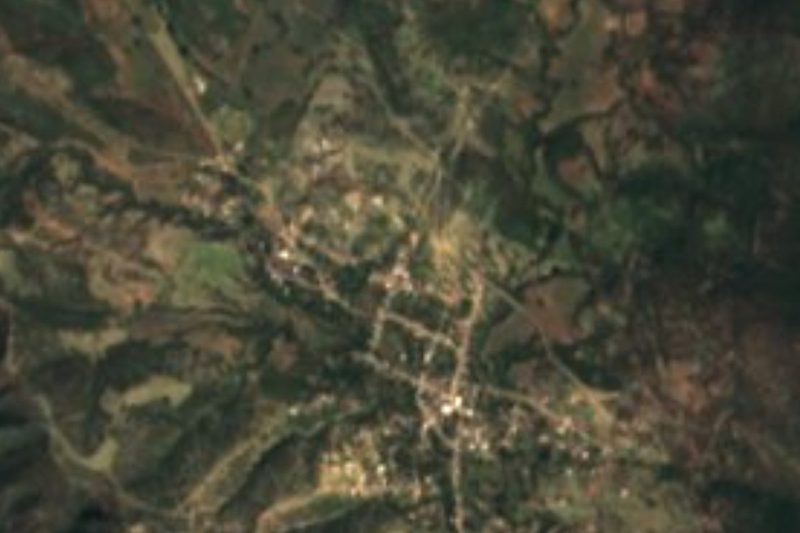
Acaxtlahuacán lies at the southern tip of Puebla, by the Guerrero state line. Tulcingo, the nearest sizeable town, is about 11 km away in a straight line, and Acatlán de Osorio about 56 km. Puebla city is about 119 km away in a straight line, and Cuautla in Morelos about 100 km. Your own vehicle is the practical way to come.
Directions to Acaxtlahuacán de Albino Zertuche on Google Maps
Distances are in a straight line; the road is usually longer.
Links open a partner site. We may earn a commission if you book, at no cost to you.
From the nearest cities to Acaxtlahuacán de Albino Zertuche
- Tlapa · 81 km by road, 1 h 25 min
- Iguala · about 145 km by road, ~2 h 10 min
- Huajuapan de León · 151 km by road, 2 h 30 min
Drive times by road from OpenStreetMap, without traffic or stops. Times marked ~ are estimated from the straight-line distance.
Visiting Acaxtlahuacán de Albino Zertuche: what to see and do
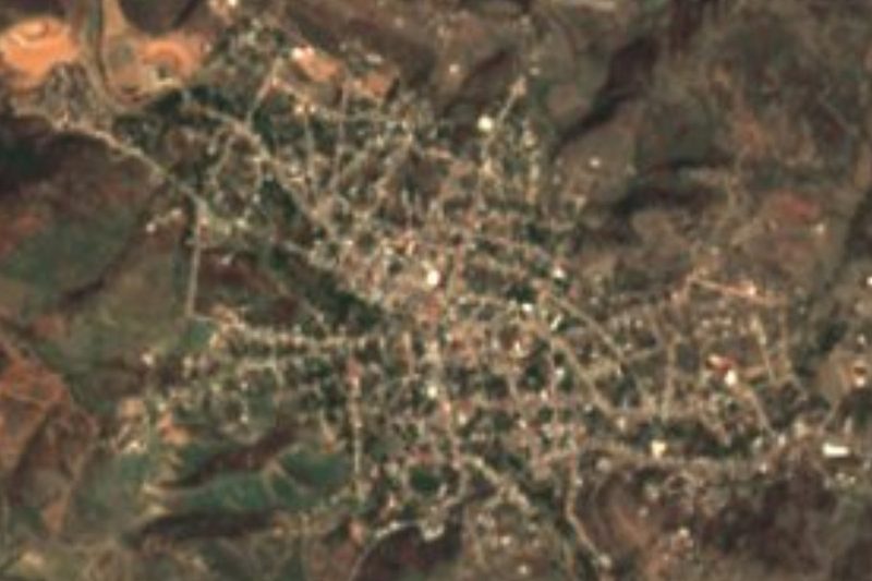
The lookout on the little hill, over the church and the village.
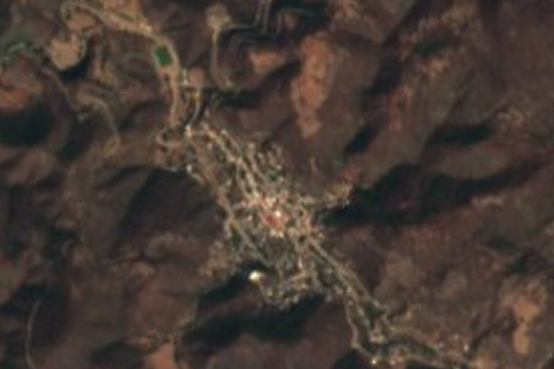
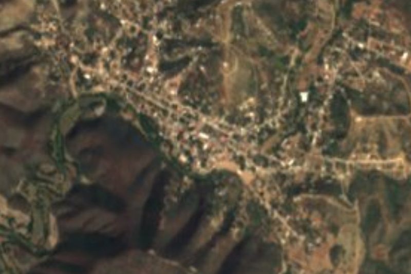
The village church.
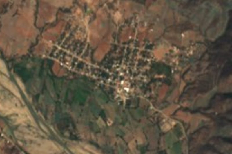
The dry Mixteca landscape on the Guerrero line.
Plan your trip
Places to stay in Acaxtlahuacán de Albino Zertuche
Compare hotels, posadas, and rentals in and around Acaxtlahuacán de Albino Zertuche.
Tours & activities
Day trips and guided outings from Tlaltizapán often include Acaxtlahuacán de Albino Zertuche; with a local guide you can get there without a car.
Rental cars
Pick up a car at MEX (Mexico City): about 1 h 55 min by road to Tlaltizapán, then 98 km more to Acaxtlahuacán de Albino Zertuche, on your own schedule.
Flights
The nearest airport with scheduled flights is Mexico City (MEX), about 1 h 55 min by road from Tlaltizapán, the base for Acaxtlahuacán de Albino Zertuche.
Mobile data
Signal can drop away from Tlaltizapán: download a map of the way to Acaxtlahuacán de Albino Zertuche before you set out, or carry an eSIM with data.
Links open a partner site. We may earn a commission if you book, at no cost to you.
When to go to Acaxtlahuacán de Albino Zertuche warm
Acaxtlahuacán de Albino Zertuche shares the climate of Tlaltizapán, 98 km away. The best months to visit are January, October, November, and December.
See the month-by-month climate of Tlaltizapán
Weather in Acaxtlahuacán de Albino Zertuche now and the next 7 days
Live forecast from Open-Meteo. Chance of rain is the day's highest.
The closest Pueblo Mágico: Tlaltizapán

Tlaltizapán is the Pueblo Mágico closest to Acaxtlahuacán de Albino Zertuche, with places to stay, food, and more to see.
Closest to Acaxtlahuacán de Albino Zertuche
-
Xicotlán · Village · 5 km away
-
Tulcingo de Valle · Village · 11 km away
-
Chila de la Sal · Village · 12 km away
-
Ixcamilpa · Village · 16 km away
-
Axutla · Village · 25 km away
-
Tecomatlán · Village · 26 km away
-
San Juan Pilcaya · Village · 30 km away
-
Chiautla de Tapia · Town · 32 km away

Near Acaxtlahuacán de Albino Zertuche





Drive times by road from OpenStreetMap, without traffic. Times marked ~ are estimated from the straight-line distance.
Location from OpenStreetMap. Written by Puebloteca.