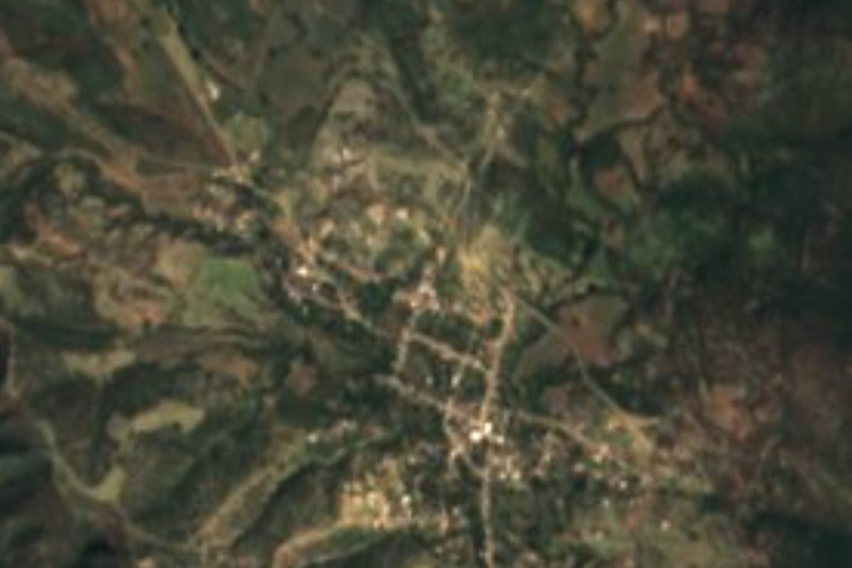
Village Chiautla, Puebla Municipality of Chiautla Mixteca Poblana
Hot-country village of Chiautla, in the Mixteca, close to the epicenter of the September 19, 2017 earthquake, which wrecked 85% of its buildings.
From Tlapa: about 1 h 30 min by road (~100 km) How to get there ↓
Near here
See everything nearby ↓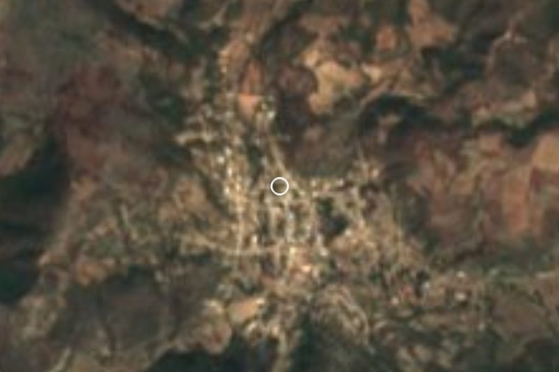



Plan your visit to San Juan Pilcaya
Where to stay near San Juan Pilcaya
Compare hotels, posadas and guest houses in San Juan Pilcaya.
Tours to San Juan Pilcaya
Day trips and guided outings from Tlaltizapán often include San Juan Pilcaya; with a local guide you can get there without a car.
How to get to San Juan Pilcaya
- From Tlapa: about 1 h 30 min by road (~100 km)
- Nearest airport: Mexico City (MEX), 1 h 55 min by car to Tlaltizapán
Links open a partner site. We may earn a commission if you book, at no cost to you.
About San Juan Pilcaya
On September 19, 2017 the ground shook almost directly beneath San Juan Pilcaya. The village was among the communities closest to the epicenter of that earthquake and one of the hardest hit: about 85% of its buildings were destroyed or damaged, though no one died. Pilcaya belongs to the municipality of Chiautla, in Puebla's Mixteca region, and had 1,129 residents in 2020. It lies in the southwest of the municipality at roughly 1,170 meters, linked by a paved road of about 20 km to the municipal seat, Chiautla de Tapia.
This is low, hot country, very different from the high valleys of central Puebla. INEGI describes the municipal climate as warm and sub-humid over nearly two thirds of the land, with very hot semi-arid patches, average temperatures of 18 to 26 °C and 700 to 900 mm of summer rain. Low tropical forest covers more than 60% of the territory, woodland another 12%, and only a quarter is farmed. Water drains to the Atoyac and Nexapa rivers of the Balsas basin, and the Nexapa flows year-round. From here Cuautla and Tlaltizapán, in Morelos, are closer (about 70 km) than the city of Puebla, 104 km away.
Chiautla has Augustinian roots: according to INEGI, the church of Tlanichiautla, home to an image of the Virgin of the Assumption, was the first in the municipality, built when the friars arrived; they later raised the convent that is now the center of Catholic life in the municipal seat. Traditional trades here are leather tanning, baqueta and suede work, and wicker. In the kitchen there is pipián with bean tamales, ash tamales with mole poblano, cuatomate salsa, cuahuayote mole and guaje huaxmole, and to drink, mezcal, nanche liqueur and cane spirit fermented with cuatecomate.
How to get to San Juan Pilcaya
Pilcaya is 104 km in a straight line from Puebla city. First reach Chiautla de Tapia, via Atlixco and Izúcar de Matamoros, then follow about 20 km of paved road to the southwest. Cuautla and Tlaltizapán, in Morelos, are about 70 km away.
Directions to San Juan Pilcaya on Google Maps
Distances are in a straight line; the road is usually longer.
Links open a partner site. We may earn a commission if you book, at no cost to you.
From the nearest cities to San Juan Pilcaya
- Tlapa · about 100 km by road, ~1 h 30 min
- Cuautla · 91 km by road, 1 h 35 min
- Iguala · about 115 km by road, ~1 h 40 min
Drive times by road from OpenStreetMap, without traffic or stops. Times marked ~ are estimated from the straight-line distance.
Visiting San Juan Pilcaya: what to see and do
The village, rebuilt after the 2017 earthquake.
The church of Tlanichiautla and the old Augustinian convent of Chiautla de Tapia, about 20 km away.
The low tropical forest and the Nexapa River in the Mixteca.
Plan your trip
Places to stay in San Juan Pilcaya
Compare hotels, posadas, and rentals in and around San Juan Pilcaya.
Tours & activities
Day trips and guided outings from Tlaltizapán often include San Juan Pilcaya; with a local guide you can get there without a car.
Rental cars
Pick up a car at MEX (Mexico City): about 1 h 55 min by road to Tlaltizapán, then 68 km more to San Juan Pilcaya, on your own schedule.
Flights
The nearest airport with scheduled flights is Mexico City (MEX), about 1 h 55 min by road from Tlaltizapán, the base for San Juan Pilcaya.
Mobile data
Signal can drop away from Tlaltizapán: download a map of the way to San Juan Pilcaya before you set out, or carry an eSIM with data.
Links open a partner site. We may earn a commission if you book, at no cost to you.
When to go to San Juan Pilcaya warm
San Juan Pilcaya shares the climate of Tlaltizapán, 68 km away. The best months to visit are January, October, November, and December.
See the month-by-month climate of Tlaltizapán
Weather in San Juan Pilcaya now and the next 7 days
Live forecast from Open-Meteo. Chance of rain is the day's highest.
The closest Pueblo Mágico: Tlaltizapán

Tlaltizapán is the Pueblo Mágico closest to San Juan Pilcaya, with places to stay, food, and more to see.
Closest to San Juan Pilcaya
-
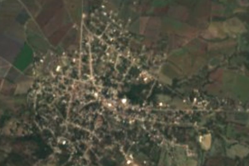
Ayoxuxtla · Village · 7 km away
-
Chiautla de Tapia · Town · 13 km away
-
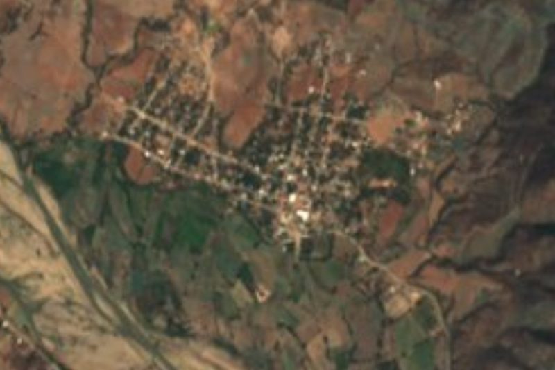
Huehuetlán el Chico · Town · 15 km away
-
Jolalpan · Village · 17 km away
-
Tlancualpican · Village · 22 km away
-
Ixcamilpa · Village · 23 km away
-
Buenavista de Benito Juárez · Village · 26 km away
-
Chila de la Sal · Village · 27 km away
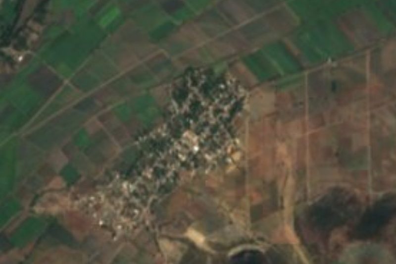
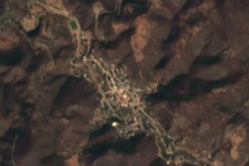
Near San Juan Pilcaya

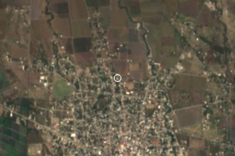
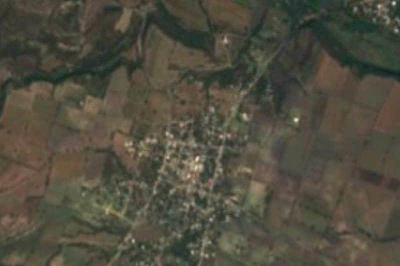
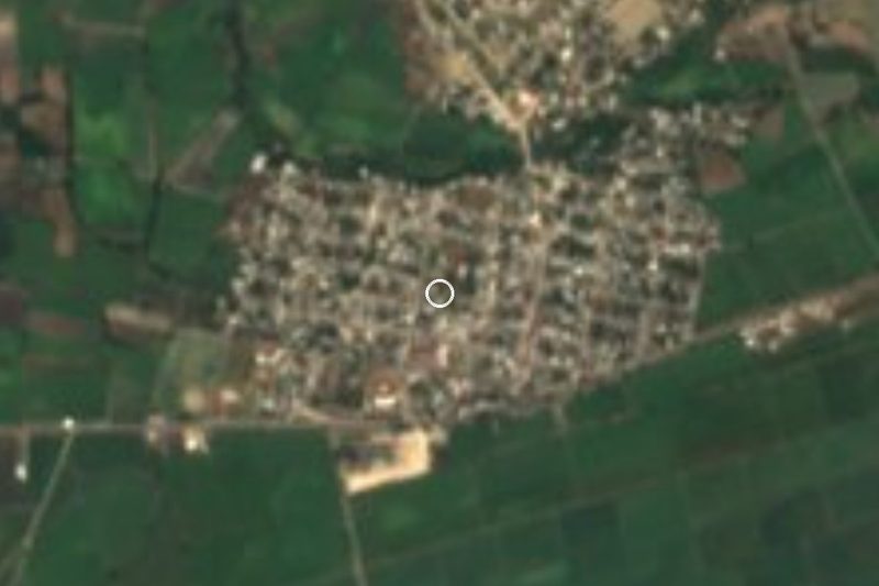

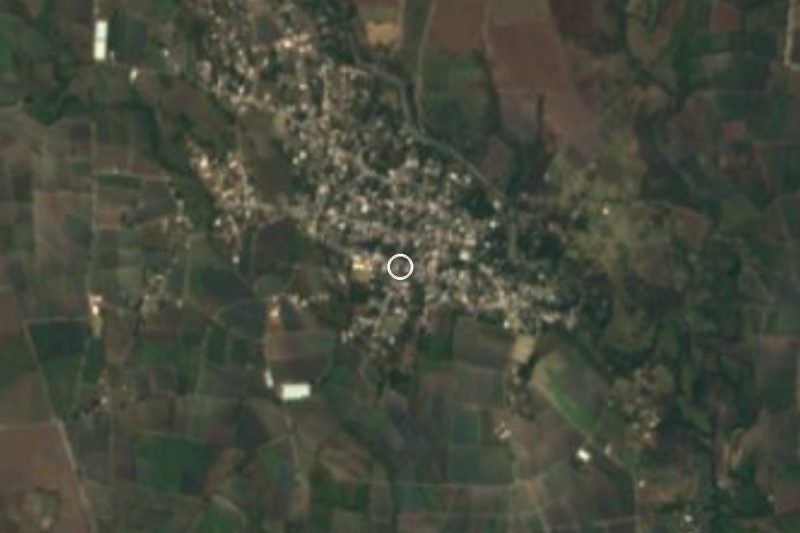
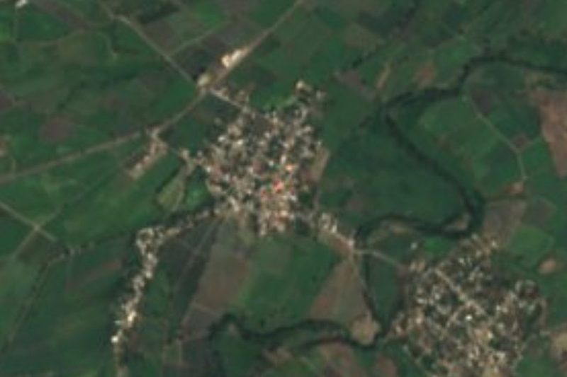
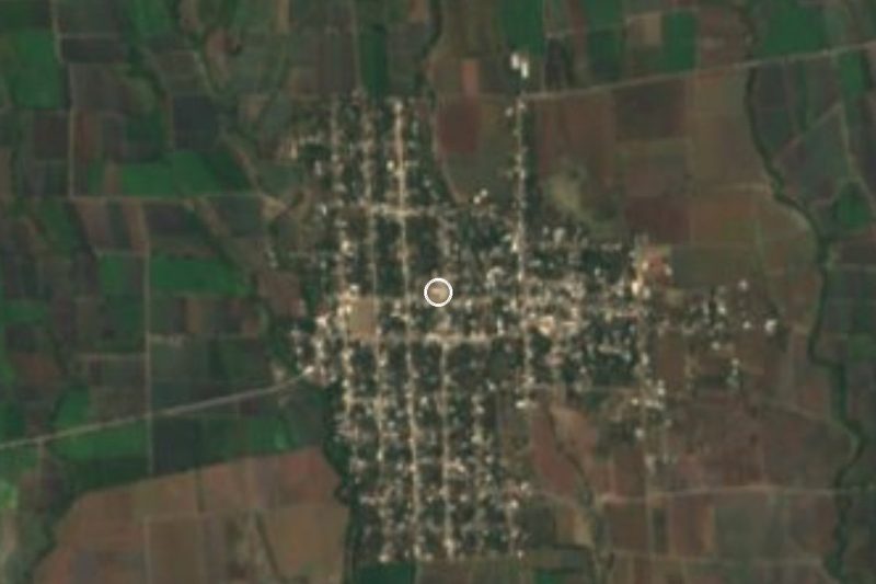
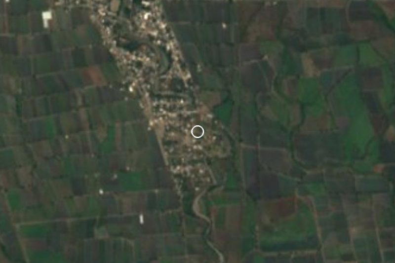
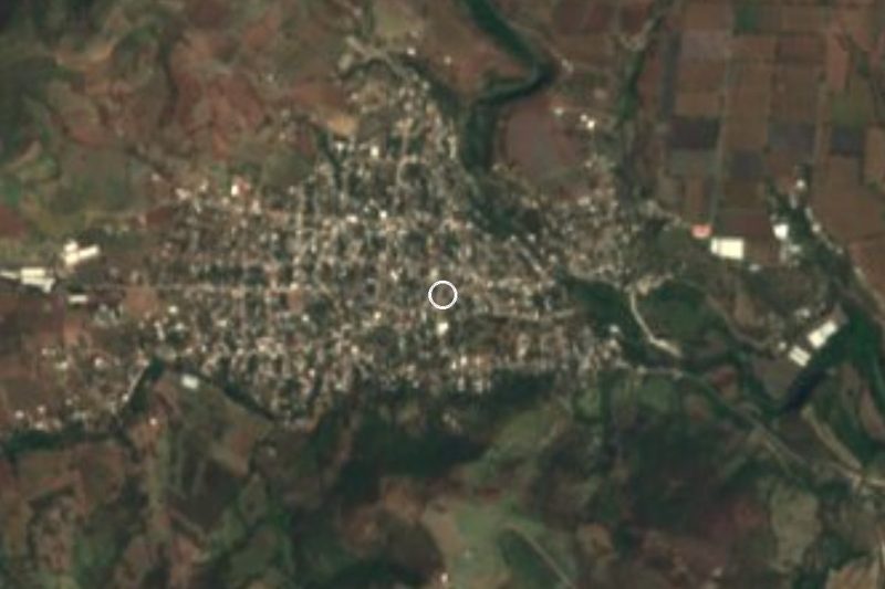

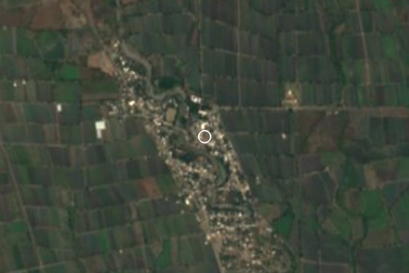
Drive times by road from OpenStreetMap, without traffic. Times marked ~ are estimated from the straight-line distance.
Location from OpenStreetMap. Written by Puebloteca.