Village Jolalpan, Puebla Mixteca Poblana
Hot-country municipal seat in Puebla's far southwest, a short hop from Morelos and Guerrero; its big feast is San Francisco on 4 October.
From Cuautla: 1 h 25 min by car (82 km by road) How to get there ↓
Near here
See everything nearby ↓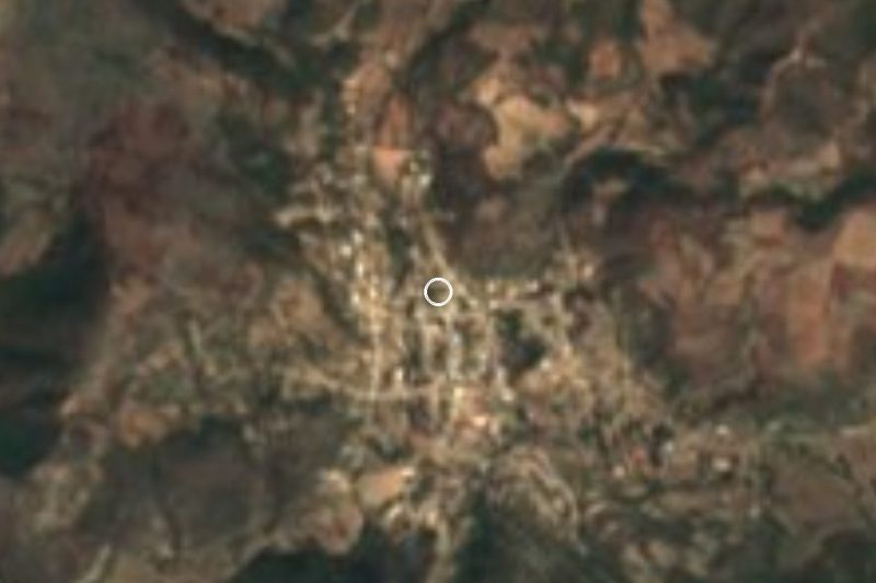


Plan your visit to Jolalpan
Where to stay near Jolalpan
Compare hotels, posadas and guest houses in Jolalpan.
Tours to Jolalpan
Day trips and guided outings from Tlaltizapán often include Jolalpan; with a local guide you can get there without a car.
 Tours from Cuernavaca
3hr Cooking Class in Cuernavaca 8 Recipes and Bottomless Drinks
From US$59
How to get to Jolalpan
- From Cuautla: about 1 h 25 min by road (~82 km)
- Nearest airport: Mexico City (MEX), 1 h 55 min by car to Tlaltizapán
Links open a partner site. We may earn a commission if you book, at no cost to you.
Tours from Cuernavaca, near Jolalpan


Tours, prices and ratings from Viator, checked weekly. We may earn a commission if you book.
About Jolalpan
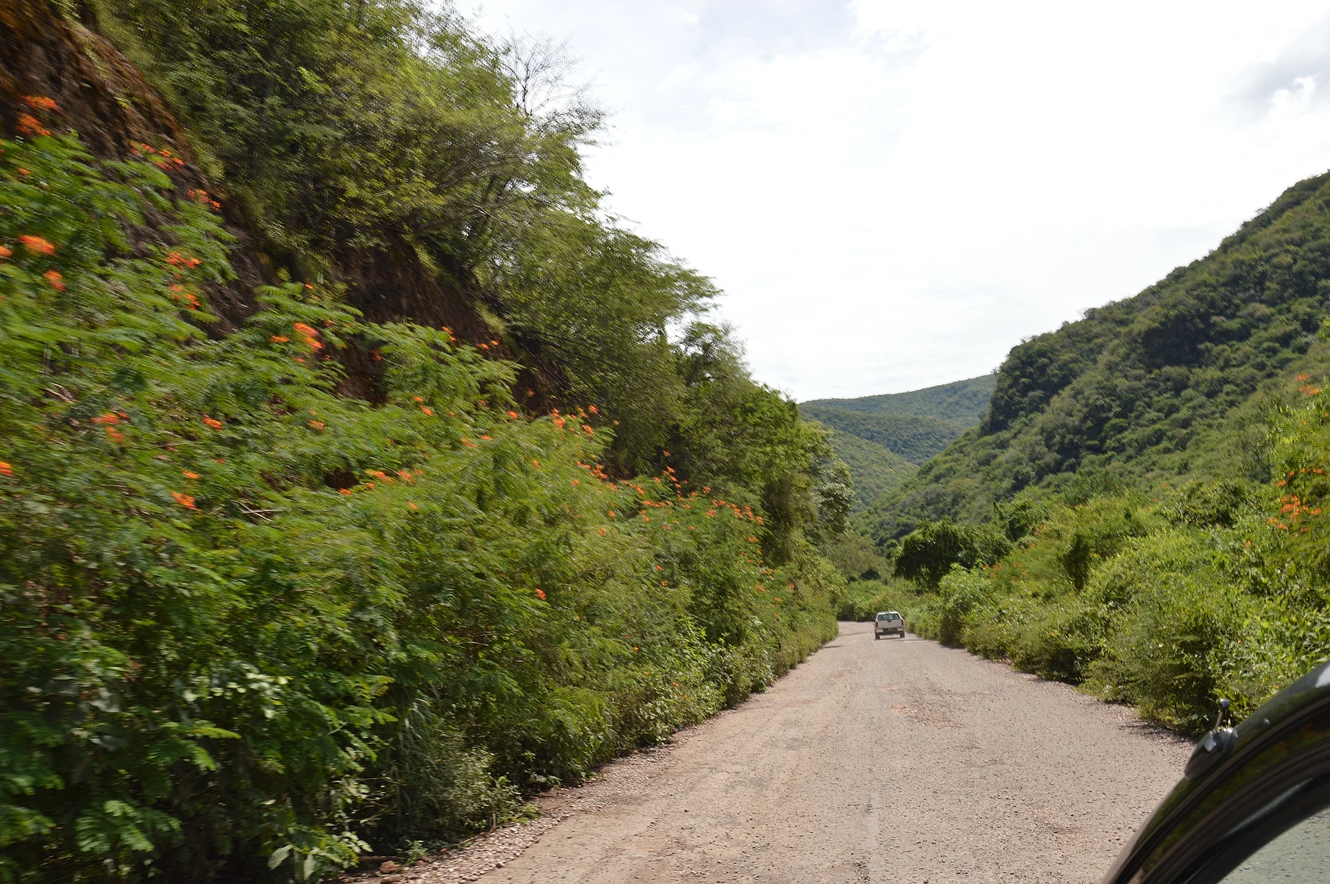
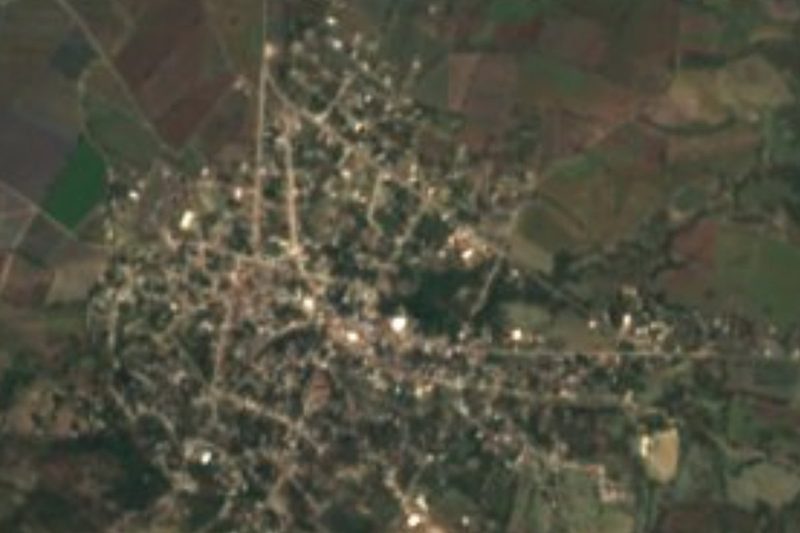
Jolalpan sits in the southwestern corner of Puebla, right where the borders with Morelos and Guerrero meet. It is the seat of a 603 km² municipality, and the 2020 census counted 7,760 people in the town itself, at 841 metres above sea level. The Nahuatl name combines xotlal and pan, roughly "on hot land", and the weather backs it up: warm and subhumid, with summer rain and dry deciduous forest as the dominant vegetation.
The Nexapa and Zinquihuila rivers run through the municipality, the second already part of the Amacuzac basin. Local fields yield maize, beans and tomatoes. To the east lies an extension of the Chiautla valley, flat and humid; to the west the land climbs into a range of hills reaching about 1,700 metres. Neighbours are Teotlalco, Huehuetlán el Chico, Cohetzala and Chiautla, and across the state line Tlaquiltenango (Morelos) plus Atenango del Río and Huitzuco (Guerrero).
The date that organises the year is 4 October, the feast of San Francisco. Stewards, the mayordomos, go door to door collecting contributions a year ahead. The day opens with mañanitas and firecrackers, a 6 a.m. mass, and free meals for anyone who turns up: barbecue, consommé, rice and tlacoyos. At night there is a serenade on the main square with invited acts, a ballet number, the fireworks tower and a dance.
How to get to Jolalpan
Drive from Cuautla: 1 h 25 min, 82 km
Jolalpan is in Puebla's far southwest and is easiest to reach through Morelos. The municipal development plan places it on the Axochiapan-Huachinantla state road, 30 km from Axochiapan, and about 130 km from the city of Puebla by way of Izúcar de Matamoros, Axochiapan and Jolalpan itself. From Cuautla head for Axochiapan, then take that state road south; Cuautla is about 57 km away in a straight line but noticeably more by road, roughly 1 h 15 to 1 h 30 (approx.). By bus, start from CAPU in Puebla toward Izúcar or Chiautla, or from Cuautla toward Axochiapan, and ask there for combis or taxis on to Jolalpan; no fixed timetable is published. The nearest larger pueblo in our list is Tlaltizapán, about 52 km straight-line.
Directions to Jolalpan on Google Maps
Distances are in a straight line; the road is usually longer.
Links open a partner site. We may earn a commission if you book, at no cost to you.
From the nearest cities to Jolalpan
- Cuautla · 82 km by road, 1 h 25 min
- Iguala · about 95 km by road, ~1 h 25 min
- Taxco · about 110 km by road, ~1 h 40 min
Drive times by road from OpenStreetMap, without traffic or stops. Times marked ~ are estimated from the straight-line distance.
Before you go to Jolalpan: hours, prices and tips
- Best season
- The patron feast of San Francisco is on 4 October: mañanitas and a 6:00 mass, free meals for all, serenade, fireworks tower and dance at night. The climate is warm year-round with summer rain. Wikipedia (es), Municipio de Jolalpan · checked Oct 2026
Hours and prices change, especially around holidays. Each fact links to where we checked it.
Visiting Jolalpan: what to see and do
The main square, stage for the serenade and fireworks of the San Francisco feast (4 October).
The parish church and the dawn mañanitas for the saint, with brass band and firecrackers.
The Nexapa valley to the east, hot country with maize and tomato plots.
The western sierra, rising to about 1,700 metres above sea level.
The dry deciduous forest that covers much of the municipality.
Plan your trip
Places to stay in Jolalpan
Compare hotels, posadas, and rentals in and around Jolalpan.
Tours & activities
Day trips and guided outings from Tlaltizapán often include Jolalpan; with a local guide you can get there without a car.
Rental cars
Pick up a car at MEX (Mexico City): about 1 h 55 min by road to Tlaltizapán, then 52 km more to Jolalpan, on your own schedule.
Flights
The nearest airport with scheduled flights is Mexico City (MEX), about 1 h 55 min by road from Tlaltizapán, the base for Jolalpan.
Mobile data
Signal can drop away from Tlaltizapán: download a map of the way to Jolalpan before you set out, or carry an eSIM with data.
Links open a partner site. We may earn a commission if you book, at no cost to you.
When to go to Jolalpan warm
Jolalpan shares the climate of Tlaltizapán, 52 km away. The best months to visit are January, October, November, and December.
See the month-by-month climate of Tlaltizapán
Weather in Jolalpan now and the next 7 days
Live forecast from Open-Meteo. Chance of rain is the day's highest.
The closest Pueblo Mágico: Tlaltizapán

Tlaltizapán is the Pueblo Mágico closest to Jolalpan, with places to stay, food, and more to see.
Also close to
- Tlayacapan · Morelos · 72 km away
- Xochitepec · Morelos · 72 km away
- Tepoztlán · Morelos · 79 km away
- Atlixco · Puebla · 79 km away
Closest to Jolalpan
-
Ayoxuxtla · Village · 10 km away
-
Huehuetlán el Chico · Town · 17 km away
-
San Juan Pilcaya · Village · 17 km away
-
Teotlalco · Village · 18 km away
-
Tlancualpican · Village · 20 km away
-
Axochiapan · Village · 22 km away
-
Cuauhtémoc · Village · 23 km away
-
Huautla · Village · 23 km away
Near Jolalpan
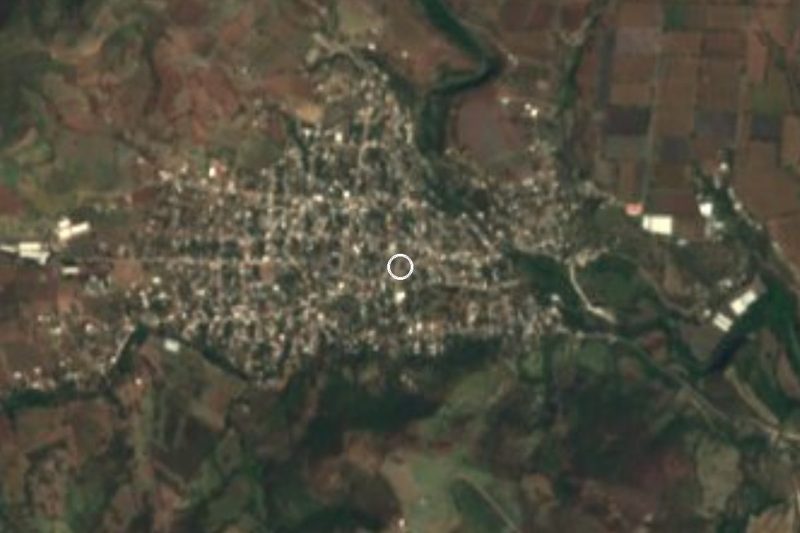

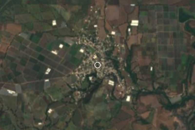
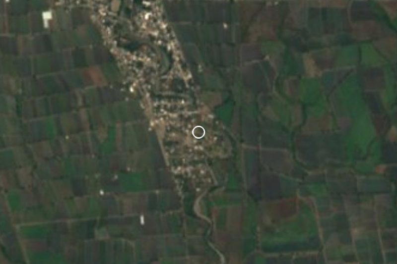
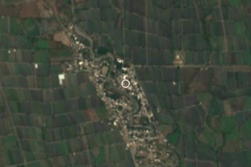
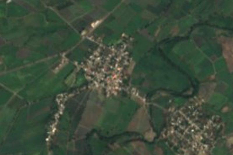


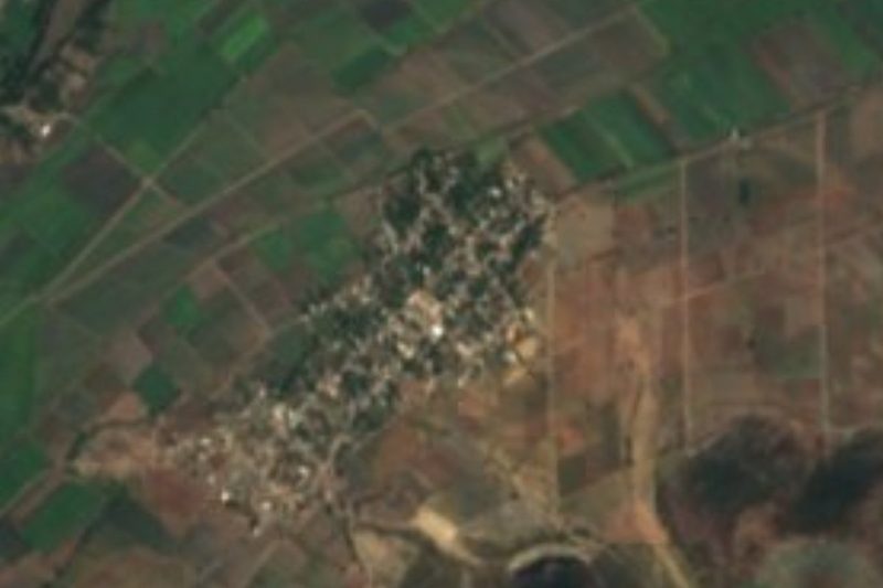
Drive times by road from OpenStreetMap, without traffic. Times marked ~ are estimated from the straight-line distance.
Location from OpenStreetMap. Written by Puebloteca.