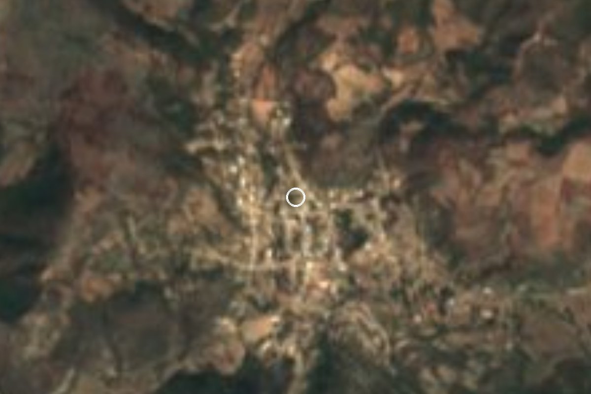
Village Huehuetlán el Chico, Puebla Mixteca Poblana
Village in Puebla's Mixteca where Emiliano Zapata signed the Plan of Ayala in November 1911, with a museum devoted to the event.
From Cuautla: 1 h 35 min by car (91 km by road) How to get there ↓
Near here
See everything nearby ↓



Plan your visit to Ayoxuxtla
Where to stay near Ayoxuxtla
Compare hotels, posadas and guest houses in Ayoxuxtla.
Tours to Ayoxuxtla
Day trips and guided outings from Tlaltizapán often include Ayoxuxtla; with a local guide you can get there without a car.
 Tours from Atlixco
Atlixco Volcano Views Popocatépetl Tour Forest Route
From US$108
How to get to Ayoxuxtla
- From Cuautla: about 1 h 35 min by road (~91 km)
- Nearest airport: Mexico City (MEX), 1 h 55 min by car to Tlaltizapán
Links open a partner site. We may earn a commission if you book, at no cost to you.
Tours from Atlixco, near Ayoxuxtla
Tours, prices and ratings from Viator, checked weekly. We may earn a commission if you book.
About Ayoxuxtla
The Plan of Ayala was signed here, not in Ayala. Zapata meant to draft it in the Morelos town that gave it its name, but pressure from federal troops pushed his forces into the Mixteca highlands of Puebla, and he picked this village because hills shelter it and few natural routes lead in. From 26 to 28 November 1911, Zapata, Otilio Montaño and the leaders of the Liberation Army of the South debated and wrote the document, which demanded that land be returned to the peasants and broke with Madero. It was signed on the afternoon of the 27th and read out publicly the next morning; after the celebrations Zapata rode off towards Jolalpan.
The Nahuatl name means place where squash flowers abound. Before the Spanish conquest the area belonged to the Tlahuicas and later paid tribute to the Triple Alliance. A 1975 decree renamed it Ayoxuxtla de Zapata. On 28 November 1979, the plan's 68th anniversary, the church of San Marcos Evangelista was inaugurated, and that same year, the centenary of Zapata's birth, the area was declared a zone of historic monuments. It has been twinned with Ciudad Ayala since 2011.
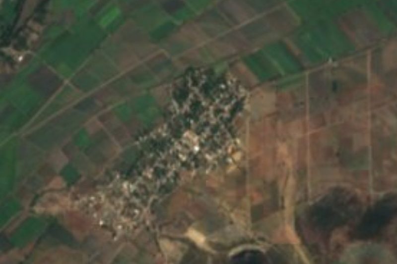
The village has belonged to Huehuetlán el Chico since 1926, yet it is cut off from the rest of that municipality, hemmed in by Chiautla, Cohetzala and Jolalpan. It sits at about 1,000 m, had 562 residents in the 2020 census, and is reached by a single state road from Santa María Cohetzala; that isolation weighs on local living standards.
The earthquake of 19 September 2017 flattened most of the village, including homes, the church, the school and the community museum. INAH repaired the church, and in 2021-2022 the federal agency SEDATU had the Colectivo C733 build a new square joined to the main plaza under a 20 by 36 m roof, with six primary classrooms, a library and media room, a community dining hall and the restored museum, using 45 cm walls of local clay to keep out the heat. The museum holds a wooden table and a log on which, locals say, Zapata sat to dictate, along with musical instruments, rifles and photographs.
How to get to Ayoxuxtla
Drive from Cuautla: 1 h 35 min, 91 km
Ayoxuxtla lies in the far south-west of Puebla and has a single way in, the state road from Santa María Cohetzala. From Cuautla in Morelos, the nearest city, it is about 89 km and 1 h 35 min: take federal highway 160 towards Izúcar de Matamoros, turn off through Axochiapan and Atlacahualoya onto the México-Chiautla road, pass through Chiautla de Tapia and follow the road towards Cohetzala and Ixcamilpa to the village. From Izúcar de Matamoros it is about 70 km and 1 h 20 min on the Izúcar-Amayuca road and the same final stretch. From Puebla city, count on about 147 km and 2 h 15 min via the Vía Atlixcáyotl, the Atlixco-Jantetelco (Siglo XXI) toll road and highway 160. From Tlaltizapán, the nearest pueblo mágico, it is about 93 km and 1 h 45 min via Tepalcingo and Axochiapan. We found no reliable public transport information for the village; a car is the practical option.
Directions to Ayoxuxtla on Google Maps
Distances are in a straight line; the road is usually longer.
Links open a partner site. We may earn a commission if you book, at no cost to you.
From the nearest cities to Ayoxuxtla
- Cuautla · 91 km by road, 1 h 35 min
- Iguala · about 105 km by road, ~1 h 35 min
- Tlapa · about 110 km by road, ~1 h 35 min
Drive times by road from OpenStreetMap, without traffic or stops. Times marked ~ are estimated from the straight-line distance.
Visiting Ayoxuxtla: what to see and do
The museum of the signing of the Plan of Ayala, with Zapata's table and log.
The church of San Marcos Evangelista (1979), repaired by INAH after the 2017 earthquake.
The new square under Colectivo C733's large roof.
The library and media room beside the museum.
The ring of hills that sheltered the Zapatistas.
Plan your trip
Places to stay in Ayoxuxtla
Compare hotels, posadas, and rentals in and around Ayoxuxtla.
Tours & activities
Day trips and guided outings from Tlaltizapán often include Ayoxuxtla; with a local guide you can get there without a car.
Rental cars
Pick up a car at MEX (Mexico City): about 1 h 55 min by road to Tlaltizapán, then 61 km more to Ayoxuxtla, on your own schedule.
Flights
The nearest airport with scheduled flights is Mexico City (MEX), about 1 h 55 min by road from Tlaltizapán, the base for Ayoxuxtla.
Mobile data
Signal can drop away from Tlaltizapán: download a map of the way to Ayoxuxtla before you set out, or carry an eSIM with data.
Links open a partner site. We may earn a commission if you book, at no cost to you.
When to go to Ayoxuxtla warm
Ayoxuxtla shares the climate of Tlaltizapán, 61 km away. The best months to visit are January, October, November, and December.
See the month-by-month climate of Tlaltizapán
Weather in Ayoxuxtla now and the next 7 days
Live forecast from Open-Meteo. Chance of rain is the day's highest.
The closest Pueblo Mágico: Tlaltizapán

Tlaltizapán is the Pueblo Mágico closest to Ayoxuxtla, with places to stay, food, and more to see.
Also close to
- Atlixco · Puebla · 80 km away
- Tlayacapan · Morelos · 80 km away
Closest to Ayoxuxtla
-
San Juan Pilcaya · Village · 7 km away
-
Jolalpan · Village · 10 km away
-
Huehuetlán el Chico · Town · 14 km away
-
Chiautla de Tapia · Town · 17 km away
-
Tlancualpican · Village · 19 km away
-
Teotlalco · Village · 22 km away
-
Buenavista de Benito Juárez · Village · 25 km away
-
Axochiapan · Village · 26 km away

Near Ayoxuxtla

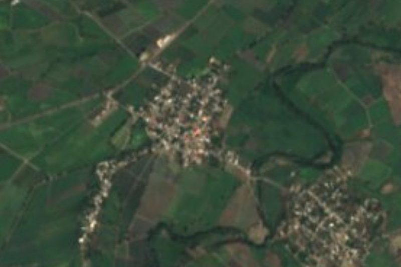
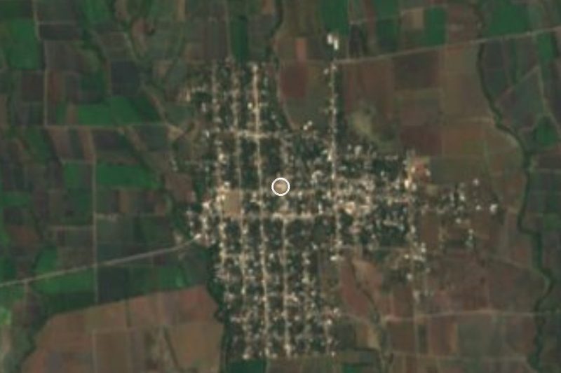
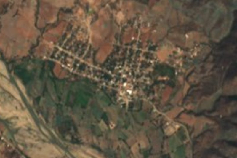

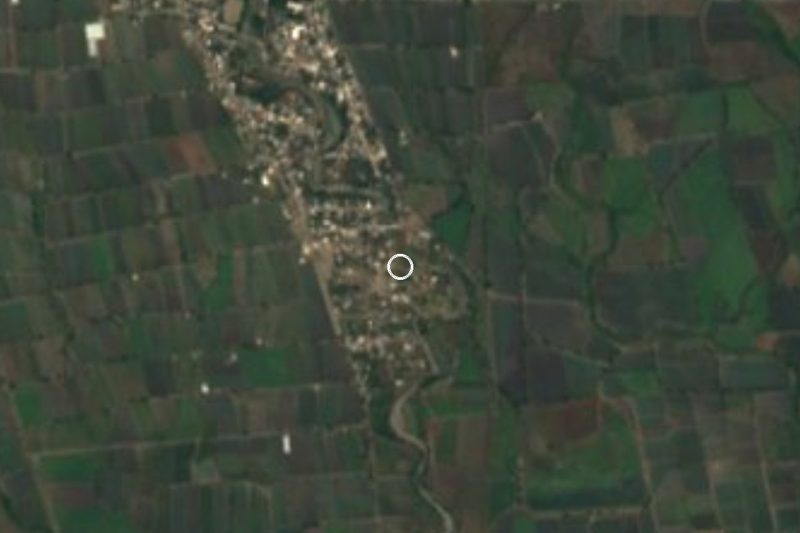

Drive times by road from OpenStreetMap, without traffic. Times marked ~ are estimated from the straight-line distance.
Location from OpenStreetMap. Written by Puebloteca.