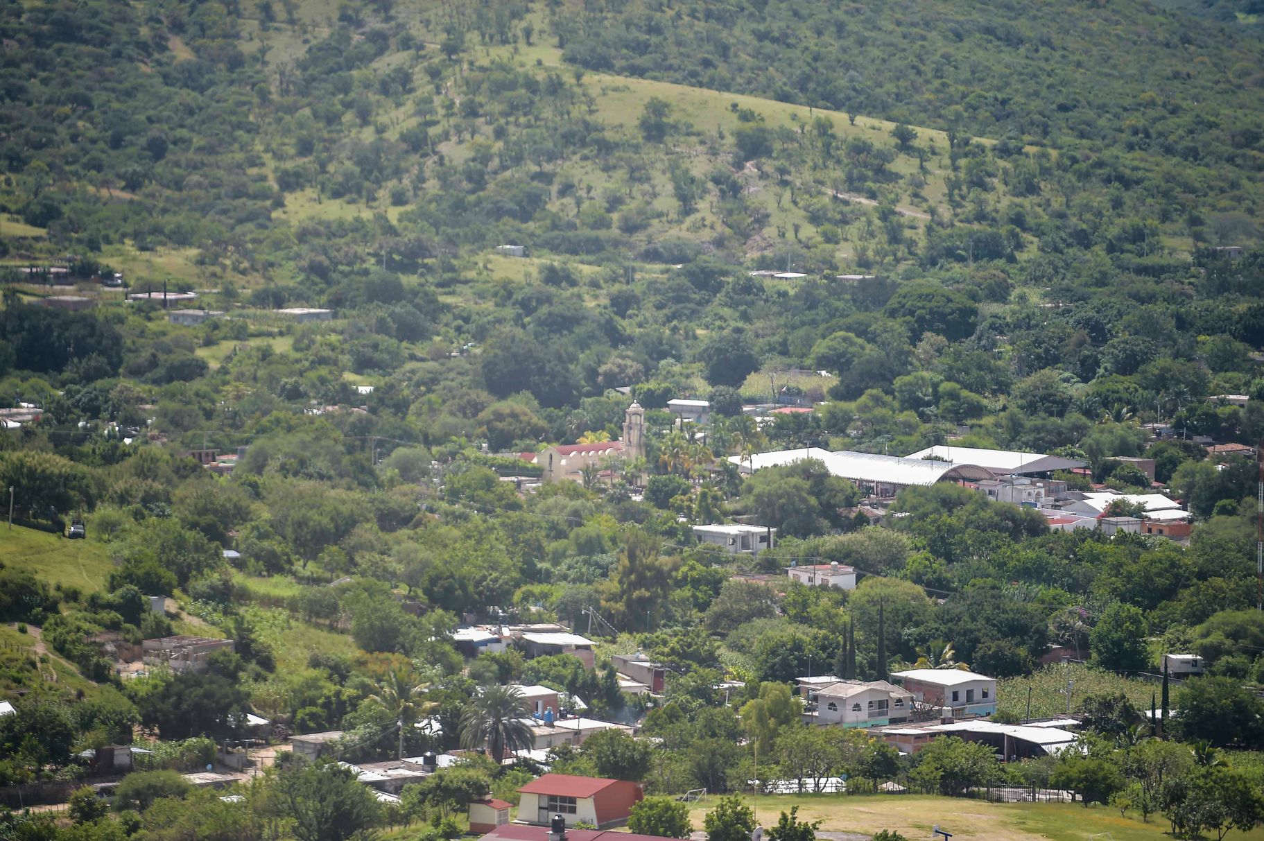
Town Chiautla, Puebla Municipality of Chiautla Mixteca Poblana
Town in Puebla's Mixteca near Morelos, once Chiautla de la Sal, with a 16th-century Augustinian convent and a regional fair on 12 December.
From Cuautla: 1 h 30 min by car (85 km by road) How to get there ↓
Near here
See everything nearby ↓

Plan your visit to Chiautla de Tapia
Where to stay near Chiautla de Tapia
Compare hotels, posadas and guest houses in Chiautla de Tapia.
Tours to Chiautla de Tapia
Day trips around Tlaltizapán sometimes stop in Chiautla de Tapia; a tour is the easy way to see it without a car.
 Tours from Atlixco
Atlixco Volcano Views Popocatépetl Tour Forest Route
From US$108
How to get to Chiautla de Tapia
- From Cuautla: about 1 h 30 min by road (~85 km)
- Nearest airport: Mexico City (MEX), 1 h 55 min by car to Tlaltizapán
Links open a partner site. We may earn a commission if you book, at no cost to you.
Tours from Atlixco, near Chiautla de Tapia
Tours, prices and ratings from Viator, checked weekly. We may earn a commission if you book.
About Chiautla de Tapia
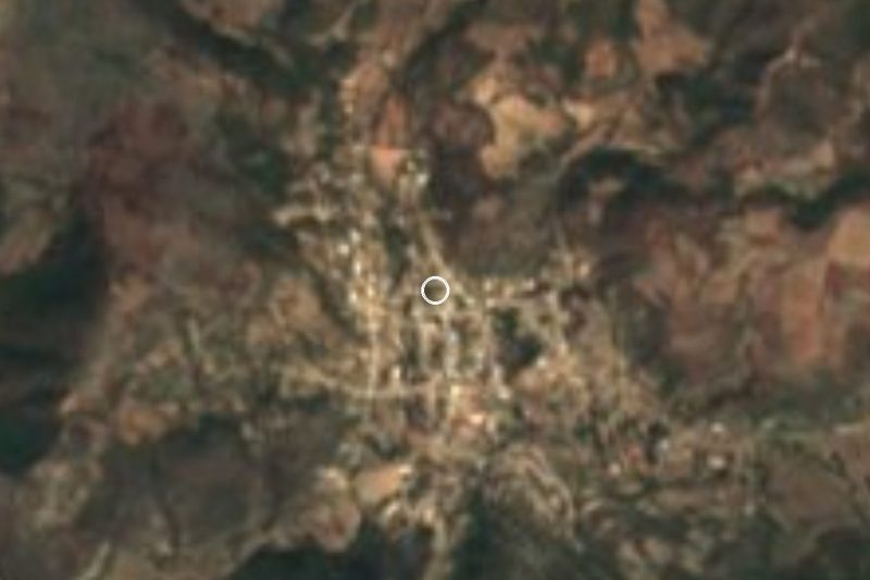
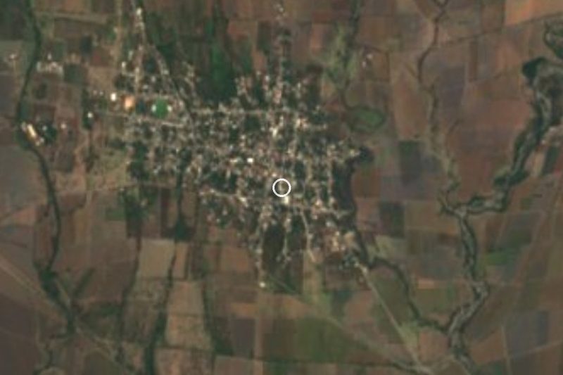
Chiautla de Tapia, seat of Chiautla municipality, lies in south-western Puebla at just over 1,000 m, not far from the Morelos line, and had 11,776 people in 2020. Its Nahuatl name comes from chiauitl, greasy mud, plus a suffix of abundance: a place thick with mire. For centuries it was Chiautla de la Sal, after a salt lake whose salt was sold to towns in Morelos. A state decree of 1874 renamed it for Mariano Antonio Tapia, vicar of Tlapa in Guerrero and an insurgent colonel under Morelos.
Before the Spanish conquest it was the capital of a strategic Aztec province whose towns produced cotton, copal and salt, and local history says it sent warriors to Texcoco for the flower wars. Its first encomendero was Alonso de Grado. Around 1550 the Augustinians began a large complex of church, convent, hospital and cemetery, which is why church records still call it Chiautla de San Agustín; the friars ran the parish until 1755, when the first secular priest took over. During the War of Independence it was a Morelos stronghold, and townspeople carried food to Cuautla while it was under siege.
Today the town lives on trade, cattle and farming, growing maize, beans, sorghum, watermelon, melon, sesame and peanuts, and has a regional campus of BUAP, the state university. The diplomat Gilberto Bosques Saldívar came from here. The regional fair falls on 12 December, the feast of the Virgin of Guadalupe; San Agustín is celebrated on 28 August and San Miguel, in his own barrio, on 29 September, with bull riding, brass bands and the vaqueros and moros y cristianos dances. Local cooking includes pipián with bean tamales, ash tamales with mole and huaxmole made with guaje pods, and the municipality tans leather.
How to get to Chiautla de Tapia
Drive from Cuautla: 1 h 30 min, 85 km
Chiautla is reached on the México-Chiautla road, which comes down from the north on the Morelos side. From Cuautla it is about 84 km and 1 h 25 min: take federal highway 160 toward Izúcar de Matamoros and head south via Atlacahualoya. From Izúcar it is about 65 km (1 h 15 min) on the Izúcar-Amayuca road and the same final stretch. From Puebla it is about 144 km (roughly 2 h 10 min) via the Vía Atlixcáyotl and the Siglo XXI toll road to the Izúcar area; from Atlixco about 112 km. Bus lines link the town with Puebla and Mexico City.
Directions to Chiautla de Tapia on Google Maps
Distances are in a straight line; the road is usually longer.
Links open a partner site. We may earn a commission if you book, at no cost to you.
From the nearest cities to Chiautla de Tapia
- Cuautla · 85 km by road, 1 h 30 min
- Atlixco · 111 km by road, 1 h 45 min
- Cuernavaca · 135 km by road, 2 h 5 min
Drive times by road from OpenStreetMap, without traffic or stops. Times marked ~ are estimated from the straight-line distance.
Visiting Chiautla de Tapia: what to see and do
The 16th-century parish church and former Augustinian convent of San Agustín, with its upper cloister.
The church in the San Miguel barrio.
The Tlanichiautla church with its Virgin of the Assumption, held to be the municipality's first.
The rock paintings on Cerro de los Judíos near Barranca Grande, about 45 min away.
The remains known as "La Ciudad Perdida" at San Francisco, about 30 min away.
The regional fair on 12 December.
Plan your trip
Places to stay in Chiautla de Tapia
Compare hotels, posadas, and rentals in and around Chiautla de Tapia.
Tours & activities
Day trips around Tlaltizapán sometimes stop in Chiautla de Tapia; a tour is the easy way to see it without a car.
Rental cars
Pick up a car at MEX (Mexico City): about 1 h 55 min by road to Tlaltizapán, then 71 km more to Chiautla de Tapia, on your own schedule.
Flights
The nearest airport with scheduled flights is Mexico City (MEX), about 1 h 55 min by road from Tlaltizapán, the base for Chiautla de Tapia.
Mobile data
Signal can drop away from Tlaltizapán: download a map of the way to Chiautla de Tapia before you set out, or carry an eSIM with data.
Links open a partner site. We may earn a commission if you book, at no cost to you.
When to go to Chiautla de Tapia warm
Chiautla de Tapia shares the climate of Tlaltizapán, 71 km away. The best months to visit are January, October, November, and December.
See the month-by-month climate of Tlaltizapán
Weather in Chiautla de Tapia now and the next 7 days
Live forecast from Open-Meteo. Chance of rain is the day's highest.
The closest Pueblo Mágico: Tlaltizapán

Tlaltizapán is the Pueblo Mágico closest to Chiautla de Tapia, with places to stay, food, and more to see.
Also close to
- Atlixco · Puebla · 71 km away
Closest to Chiautla de Tapia
-
Huehuetlán el Chico · Town · 12 km away
-
San Juan Pilcaya · Village · 13 km away
-
Ayoxuxtla · Village · 17 km away
-
Buenavista de Benito Juárez · Village · 18 km away
-
Tlancualpican · Village · 18 km away
-
Ahuehuetzingo · Village · 21 km away
-
Escape de Lagunillas · Village · 21 km away
-
Atencingo · Town · 24 km away
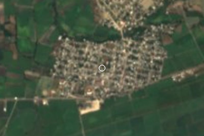

Near Chiautla de Tapia

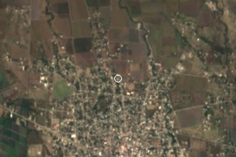


Drive times by road from OpenStreetMap, without traffic. Times marked ~ are estimated from the straight-line distance.
Location from OpenStreetMap. Written by Puebloteca.