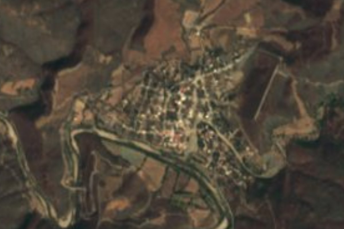
Village Axutla, Puebla Mixteca Poblana
"Hot water": a Mixteca village at 880 m by the Mixteco River, with a 16th-century parish church and dry forest; site of an insurgent win.
From Tlapa: 1 h 40 min by car (100 km by road) How to get there ↓
Near here
See everything nearby ↓
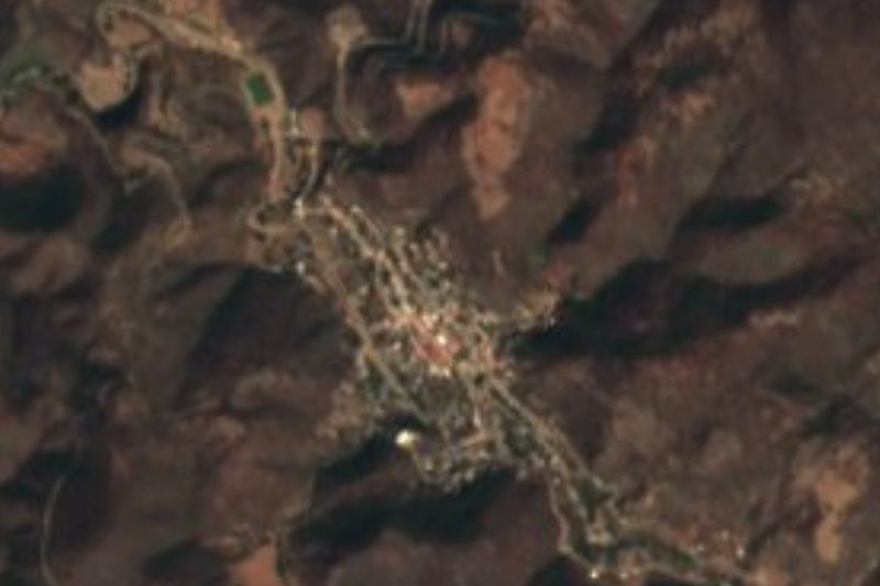
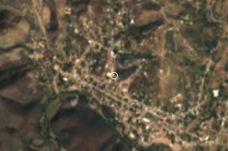
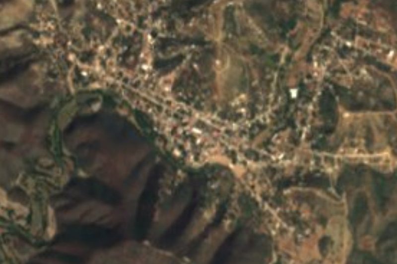
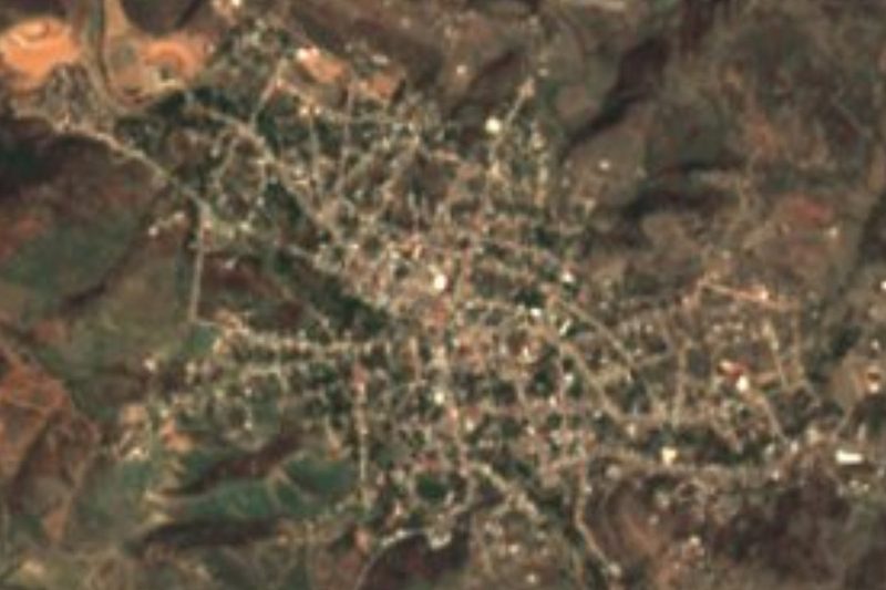

Plan your visit to Axutla
Where to stay near Axutla
Compare hotels, posadas and guest houses in Axutla.
Tours to Axutla
Day trips and guided outings from Atlixco often include Axutla; with a local guide you can get there without a car.
 Tours from Atlixco
Atlixco Volcano Views Popocatépetl Tour Forest Route
From US$108
How to get to Axutla
- From Tlapa: about 1 h 40 min by road (~100 km)
- Nearest airport: Puebla (PBC), 41 min by car to Atlixco
Links open a partner site. We may earn a commission if you book, at no cost to you.
Tours from Atlixco, near Axutla
Tours, prices and ratings from Viator, checked weekly. We may earn a commission if you book.
About Axutla
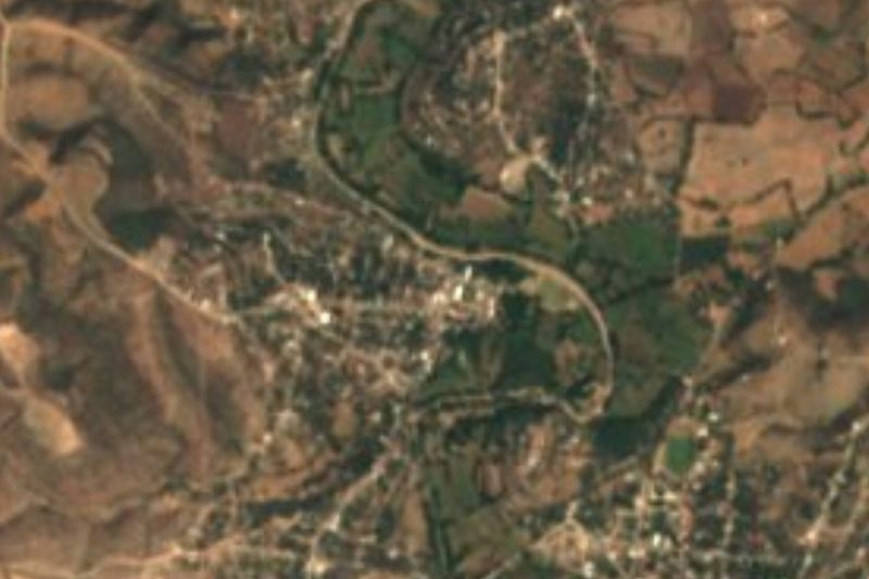
During the War of Independence, insurgents led by Juan Terán defeated royalist troops here. Today Axutla is a small, hot village: 612 people in 2020, at just 880 metres, on a bend of the narrow Acatlán valley where the Mixteco River curves south of the houses. Its name reads as "hot water" (atl, water, plus a Nahuatl root tied to heat), and it is no exaggeration: the whole municipality lies inside the 24 °C annual isotherm. It is 81 km in a straight line from Atlixco and 97 km from the state capital, closer to Cuautla in Morelos than to Puebla.
It was founded by Mixtecs and Popolocas in pre-Hispanic times, then subject to the Mexica-led Triple Alliance. Under Spanish rule it belonged to the alcaldía mayor of Acatlán; after independence it was part of Piaxtla until the Puebla congress made it a free municipality on 19 September 1922. The land is nearly all mountain: to the north the Sierra de Acatlán, with the hills of El Ídolo, El Infiernillo and Loma Grande, and to the south another range with Los Paredones, El Potrero and El Cazahuate. The Mixteco River, which rises in Oaxaca's Mixteca Baja and flows down to join the Atoyac, forms the boundary with Piaxtla. The municipality's second town, Huehuepiaxtla, has its own auxiliary council.
Almost four-fifths of the land is low deciduous forest, scrubby woodland that turns green and flowers with the summer rains; among its trees are cuajilote, pochote, copal and cacalosúchil. About 800 mm of rain falls a year. In the centre stands the 16th-century parish church, dedicated to the Sacred Heart of Jesus under the protection of Saint Michael the Archangel and open every day; it belongs to the diocese of Huajuapan de León. Festive food is mole poblano, pipián and tamales, and local sweets are mango preserves and palanqueta. The municipality has its own wind band.
How to get to Axutla
Drive from Tlapa: 1 h 40 min, 100 km
Axutla sits at the western end of the Acatlán valley in Puebla's Mixteca, 81 km in a straight line from Atlixco, 92 km from Cuautla and 97 km from Puebla city. It borders Tehuitzingo, Piaxtla, Chinantla, Tecomatlán, Chila de la Sal and Chiautla, the reference towns for approaching by road. We found no documented bus route to the village; the practical option is to drive or ask about local transport in Acatlán or Tehuitzingo.
Directions to Axutla on Google Maps
Distances are in a straight line; the road is usually longer.
Links open a partner site. We may earn a commission if you book, at no cost to you.
From the nearest cities to Axutla
- Tlapa · 100 km by road, 1 h 40 min
- Atlixco · 108 km by road, 1 h 45 min
- Huajuapan de León · 127 km by road, 2 h 5 min
Drive times by road from OpenStreetMap, without traffic or stops. Times marked ~ are estimated from the straight-line distance.
Visiting Axutla: what to see and do
The 16th-century parish church of the Sacred Heart and Saint Michael, open daily.
The Mixteco River, which wraps around the south of the village.
The Sierra de Acatlán hills and dry forest, green in the rainy season.
Huehuepiaxtla, the municipality's second town.
Plan your trip
Places to stay in Axutla
Compare hotels, posadas, and rentals in and around Axutla.
Tours & activities
Day trips and guided outings from Atlixco often include Axutla; with a local guide you can get there without a car.
Rental cars
Pick up a car at PBC (Puebla): about 41 min by road to Atlixco, then 81 km more to Axutla, on your own schedule.
Flights
The nearest airport with scheduled flights is Puebla (PBC), about 41 min by road from Atlixco, the base for Axutla.
Mobile data
Signal can drop away from Atlixco: download a map of the way to Axutla before you set out, or carry an eSIM with data.
Links open a partner site. We may earn a commission if you book, at no cost to you.
When to go to Axutla mild
Axutla shares the climate of Atlixco, 81 km away. The best months to visit are January, February, March, and December.
See the month-by-month climate of Atlixco
Weather in Axutla now and the next 7 days
Live forecast from Open-Meteo. Chance of rain is the day's highest.
The closest Pueblo Mágico: Atlixco

Atlixco is the Pueblo Mágico closest to Axutla, with places to stay, food, and more to see.
Closest to Axutla
-
Tecomatlán · Village · 12 km away
-
Chila de la Sal · Village · 13 km away
-
Chinantla · Village · 14 km away
-
Piaxtla · Village · 14 km away
-
Tulcingo de Valle · Village · 17 km away
-
Ahuehuetitla · Village · 18 km away
-
Tehuitzingo · Town · 20 km away
-
Xicotlán · Village · 20 km away

Near Axutla






Drive times by road from OpenStreetMap, without traffic. Times marked ~ are estimated from the straight-line distance.
Location from OpenStreetMap. Written by Puebloteca.